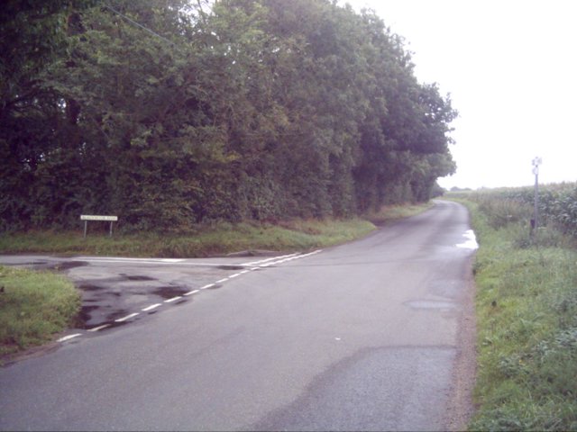
Blackmoor Row
Settlement in Norfolk Breckland
England
Blackmoor Row
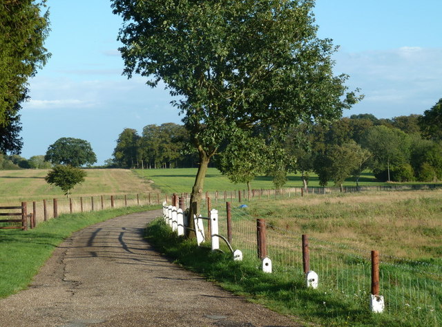
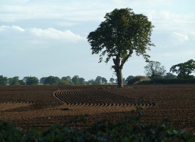
Blackmoor Row is a small village located in the county of Norfolk, in the eastern part of England. Situated in the South Norfolk district, it is surrounded by picturesque countryside and offers a peaceful and idyllic setting for its residents.
The village is home to approximately 150 inhabitants, living in a mix of traditional cottages and more modern houses. The architecture and design of the buildings add to the village's charm, with many of them featuring traditional Norfolk flint materials. The well-maintained gardens and green spaces give the area a tranquil and welcoming atmosphere.
Despite its small size, Blackmoor Row boasts a strong sense of community. The village has a close-knit population, with residents often organizing local events and activities. These events provide opportunities for villagers to socialize and strengthen community bonds.
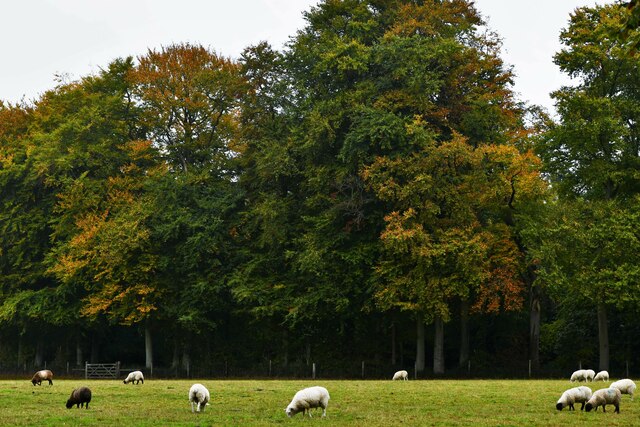
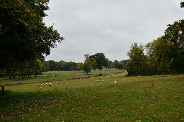
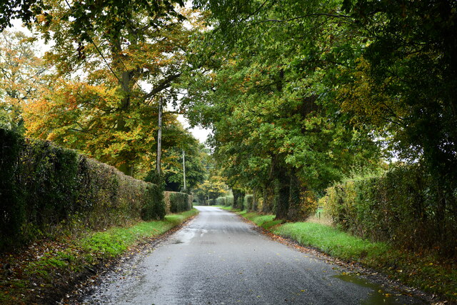
The surrounding countryside offers numerous opportunities for outdoor activities and exploration. Residents and visitors can enjoy long walks along scenic footpaths, taking in the stunning views of the Norfolk landscape. The village is also located near several nature reserves and wildlife habitats, making it an ideal location for nature enthusiasts.
While Blackmoor Row is a primarily residential area, it is conveniently situated close to amenities. The nearby town of Diss provides a range of services, including shops, schools, and healthcare facilities. The village also benefits from good transportation links, with regular bus services connecting it to neighboring towns and villages.
Overall, Blackmoor Row is a charming and peaceful village, providing a high quality of life for its residents and offering a tranquil retreat in the heart of the Norfolk countryside.
If you have any feedback on the listing, please let us know in the comments section below.
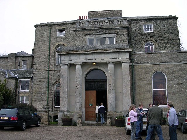
Blackmoor Row Images
Images are sourced within 2km of 52.621532/0.90325792 or Grid Reference TF9606. Thanks to Geograph Open Source API. All images are credited.

Blackmoor Row is located at Grid Ref: TF9606 (Lat: 52.621532, Lng: 0.90325792)
Administrative County: Norfolk
District: Breckland
Police Authority: Norfolk
What 3 Words
///flashback.mint.feasting. Near Shipdham, Norfolk
Nearby Locations
Related Wikis
Letton, Norfolk
Letton, a former village civil parish, is now part of the parish of Cranworth, in the Breckland district of Norfolk, England. The settlement is south-east...
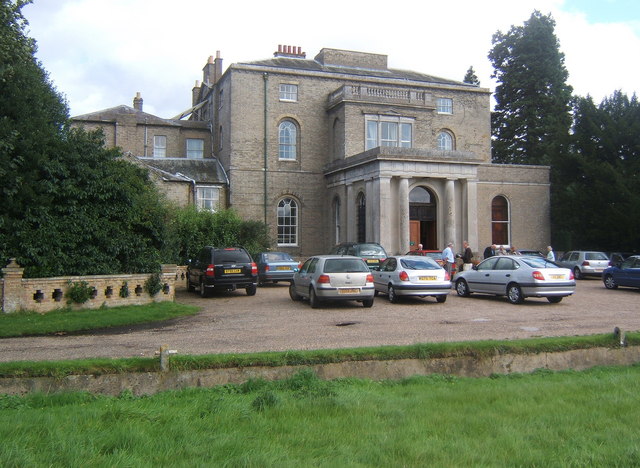
Letton Hall
Letton Hall is a Grade II listed eighteenth-century Neoclassical stately home designed by Sir John Soane for the Gurdon family between 1783 and 1789. It...
Shipdham
Shipdham is a village and civil parish in the Breckland district, in Norfolk, England, approximately 5 miles (8.0 km) south-south-west of Dereham. In...

Cranworth
Cranworth is a village and civil parish in the Breckland district of the English county of Norfolk. == History == Cranworth's name is of Anglo-Saxon origin...

Potter's Carr, Cranworth
Potter's Carr, Cranworth is a 6.3-hectare (16-acre) biological Site of Special Scientific Interest south of Dereham in Norfolk.This area of alder carr...

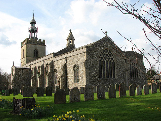
St Mary's Church, East Bradenham
St Mary's Church, East Bradenham, is a redundant Anglican church in the village of Bradenham, Norfolk, England. It is recorded in the National Heritage...
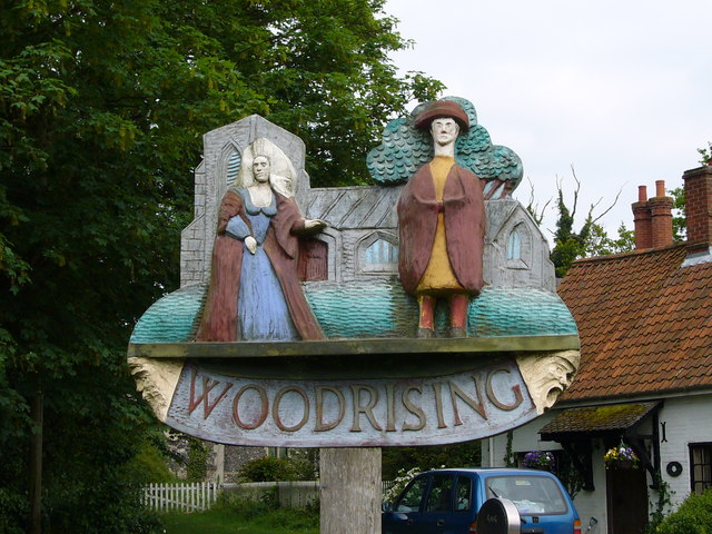
Woodrising, Norfolk
Woodrising is a village and former civil parish, now in the parish of Cranworth, in the Breckland district, in the county of Norfolk, England. The village...

Bradenham, Norfolk
Bradenham is a village and civil parish, a conglomeration of East and West Bradenham, in the English county of Norfolk. It is situated some 5 miles (8...
Related Videos
7 Days In Norfolk, UK | Hunstanton, Norfolk Coast, Norfolk Broads, Great Yarmouth, Norwich Vlog
7 Days In Norfolk, UK | Hunstanton, Norfolk Coast, Norfolk Broads, Great Yarmouth, Norwich Spending 7 days in Norfolk we visit ...
An introduction to boating holidays on The Norfolk Broads 2024 #travel2024 #leavenotrace
Thinking of a hiring a boat on The Norfolk Broads in 2024 or 2025? The best boatyard? This video will give you a taste of what you ...

TRAVEL ENGLAND: Norfolk & Suffolk Counties of East Anglia
Join us on our epic weekend trip through the East Anglia region of England: Norfolk & Suffolk! It's amazing what a different feeling ...

a 2:30 holiday
easter weekend trip to norfolk in two minutes thirty #norfolk #wellsnextthesea #cromer #holkham #beach #cold #holiday #easter.
Nearby Amenities
Located within 500m of 52.621532,0.90325792Have you been to Blackmoor Row?
Leave your review of Blackmoor Row below (or comments, questions and feedback).