Blackmoor Wood

Wood, Forest in Norfolk Breckland

England

Blackmoor Wood

Letton: Sheep grazing in Letton Hall Park
Letton: Sheep grazing in Letton Hall Park Credit: Michael Garlick

Blackmoor Wood is a picturesque forest located in the county of Norfolk, England. Spanning over an area of approximately 500 acres, it is a haven of natural beauty and tranquility. The wood is situated within the Norfolk Broads, a renowned national park known for its wetlands and rich biodiversity.

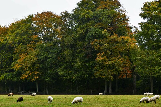
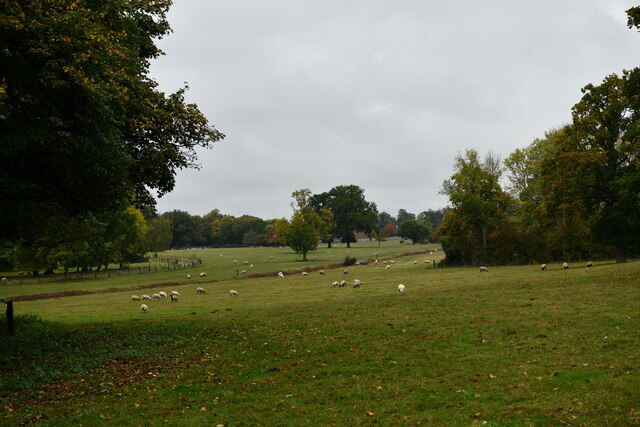
The wood boasts an impressive variety of tree species, including oak, beech, birch, and pine, which create a dense canopy providing shade and shelter. The forest floor is covered with a lush carpet of ferns, moss, and wildflowers, adding to the enchanting atmosphere of the woodland.

Blackmoor Wood is home to a diverse range of wildlife. Visitors may encounter numerous bird species, such as woodpeckers, owls, and warblers, while lucky observers might spot mammals like deer, foxes, and squirrels roaming the forest. The wood is also teeming with smaller creatures like rabbits, hedgehogs, and a variety of insects.

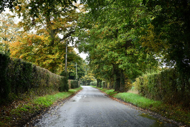
Walking trails weave through the forest, allowing visitors to immerse themselves in the natural surroundings. The beauty of Blackmoor Wood can be appreciated in any season, with the vibrant colors of autumn foliage, the fresh greenery of spring, and the peaceful snow-covered landscape in winter.

The wood is a popular destination for nature enthusiasts, hikers, and photographers, who come to capture the serene atmosphere and capture glimpses of the wildlife. Blackmoor Wood offers a peaceful retreat from the hustle and bustle of everyday life, providing an opportunity to reconnect with nature and appreciate the wonders of the British countryside.

If you have any feedback on the listing, please let us know in the comments section below.

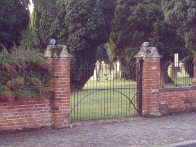
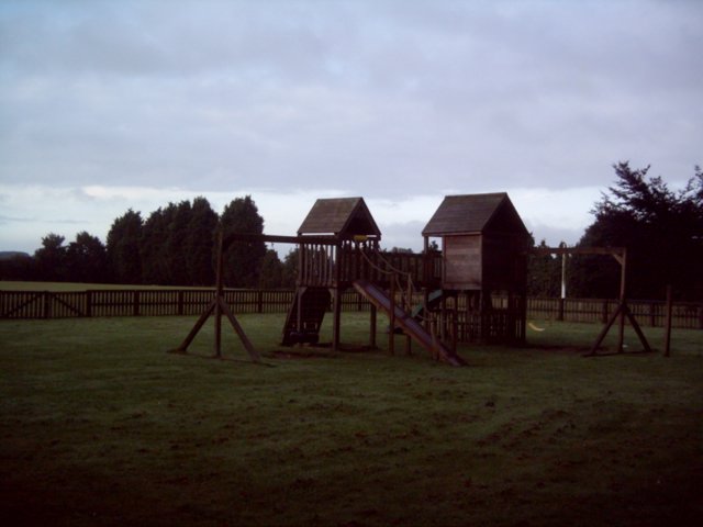
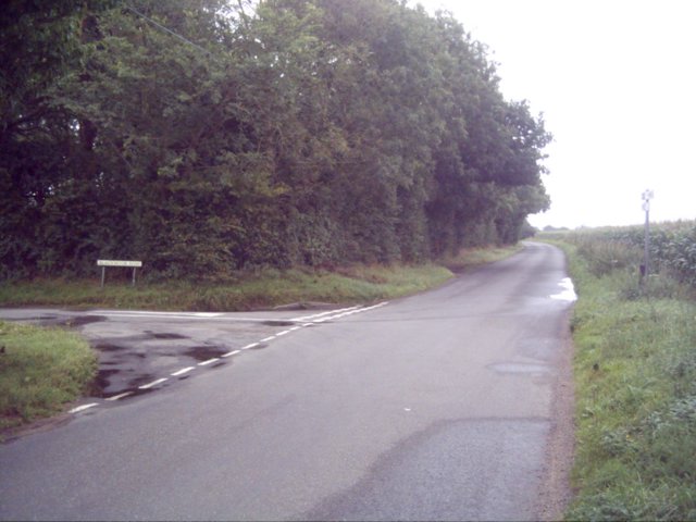
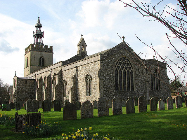
Blackmoor Wood Images

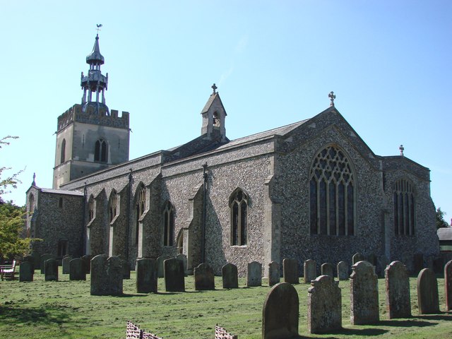
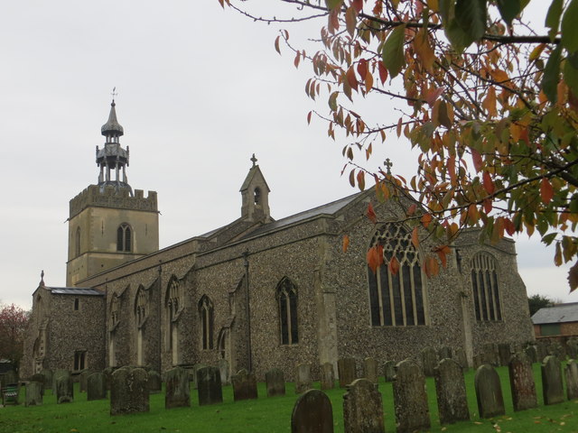
Images are sourced within 2km of 52.620912/0.89919772 or Grid Reference TF9606. Thanks to Geograph Open Source API. All images are credited.

Letton: Sheep grazing in Letton Hall Park
Letton: Cranworth Road
Shipdham: Bullock Park Play Area
OS Benchmark Recorded on Benchmark Database as 'Shipdham, All Saints Church'.
OS Benchmark
Recorded on Benchmark Database as 'Shipdham, All Saints Church'.
Study of a Gasoline Station Power, Shipdham.

 This photograph is part of a series taken in homage to the American artist Ed Ruscha's 1963 publication of 'Twentysix Gasoline Stations'.
 More properly known as filling stations in the UK, I am attempting to photograph as many as possible to mark the sixty year anniversary
Study of a Gasoline Station
Power, Shipdham. This photograph is part of a series taken in homage to the American artist Ed Ruscha's 1963 publication of 'Twentysix Gasoline Stations'. More properly known as filling stations in the UK, I am attempting to photograph as many as possible to mark the sixty year anniversary
Letton Hall and grounds from the lane View across parkland grounds to the hall now run as a Christian centre.
Letton Hall and grounds from the lane
View across parkland grounds to the hall now run as a Christian centre.
Letton Hall driveway The driveway has been fenced off since a previous visit to the Christian Centre.
Letton Hall driveway
The driveway has been fenced off since a previous visit to the Christian Centre.
Field near Letton Hall A newly ploughed and drilled field just east of the edge of Shipdham Grove.
Field near Letton Hall
A newly ploughed and drilled field just east of the edge of Shipdham Grove.
All Saints church, Shipdham Shipdham church is easily recognisable by its double-domed cupola and tall sanctus bell turret on the east end of the nave. Unfortunately the 15th c. tower is marred by cement rendering. A late Norman doorway leads into the chancel. The porch, which has a parvise, leads to the 12th c. south doorway and into the nave where stands the Norman font; another late 14th c. font with tracery around the bowl is unused. Close by is the old bier, kept in readiness in case it is ever needed. In the north aisle on the wall above the organ are the Royal Arms of Charles II, dated 1661. They are Elizabethan in style and updated after the Commonwealth. The unusual double-width, rotating lectern is dated around 1500 and is worthy of close examination, particularly the base with three lions around the foot.
All Saints church, Shipdham
Shipdham church is easily recognisable by its double-domed cupola and tall sanctus bell turret on the east end of the nave. Unfortunately the 15th c. tower is marred by cement rendering. A late Norman doorway leads into the chancel. The porch, which has a parvise, leads to the 12th c. south doorway and into the nave where stands the Norman font; another late 14th c. font with tracery around the bowl is unused. Close by is the old bier, kept in readiness in case it is ever needed. In the north aisle on the wall above the organ are the Royal Arms of Charles II, dated 1661. They are Elizabethan in style and updated after the Commonwealth. The unusual double-width, rotating lectern is dated around 1500 and is worthy of close examination, particularly the base with three lions around the foot.
The SE/NW runway at RAF Shipdham The runway is currently used by the Shipdham Flying Club.
The SE/NW runway at RAF Shipdham
The runway is currently used by the Shipdham Flying Club.
All Saints Church at Shipdham Viewed from the south-east.
All Saints Church at Shipdham
Viewed from the south-east.
Ordnance Survey Cut Mark This can be found on the wall of All Saints Church at Shipdham.
For more detail see : <span class="nowrap"><a title="http://www.bench-marks.org.uk/bm62957" rel="nofollow ugc noopener" href="http://www.bench-marks.org.uk/bm62957">Link</a><img style="margin-left:2px;" alt="External link" title="External link - shift click to open in new window" src="https://s1.geograph.org.uk/img/external.png" width="10" height="10"/></span>
Ordnance Survey Cut Mark
This can be found on the wall of All Saints Church at Shipdham. For more detail see : LinkExternal link
Letton Hall, Shipdham, Norfolk
Shipdham Cemetery Taken from Pound Green Lane
Shipdham Cemetery
Taken from Pound Green Lane
Shipdham Playground
Shipdham Playground
Junction of Blackmoor Lane and road from Shipdham to Cranworth
Show me another place!

Blackmoor Wood is located at Grid Ref: TF9606 (Lat: 52.620912, Lng: 0.89919772)

Administrative County: Norfolk

District: Breckland

Police Authority: Norfolk

What 3 Words

///offers.mush.roofs. Near Shipdham, Norfolk

Related Wikis

Nearby Amenities

Located within 500m of 52.620912,0.89919772
Post Box
Collection Times: Mo-Fr 15:30; Sa 09:15
Operator: Royal Mail
Operator Wikidata: Q638098
Post Box Mounting: pier
Post Box Type: lamp
Ref: IP25 3337
Royal Cypher: EIIR
Royal Cypher Wikidata: Q33102113
Lat/Long: 52.6209155/0.8987626
Communication Mobile Phone: yes
Man Made: mast
Material: metal
Operator: EE
Tower Construction: lattice
Tower Type: communication
Lat/Long: 52.6246833/0.8981645
The data included in this document is from www.openstreetmap.org. The data is made available under ODbL.

Have you been to Blackmoor Wood?

Leave your review of Blackmoor Wood below (or comments, questions and feedback).