Ash Carr
Wood, Forest in Norfolk Breckland
England
Ash Carr
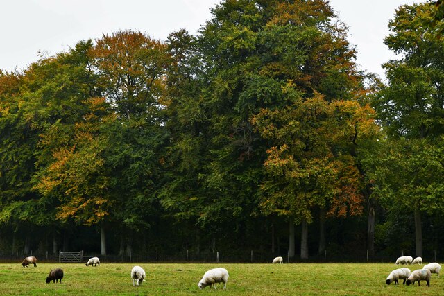
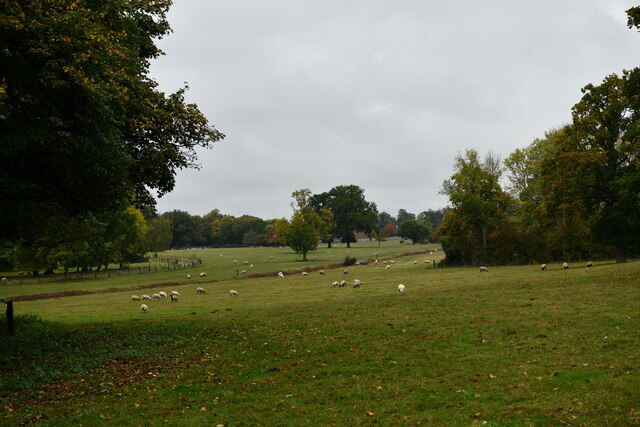
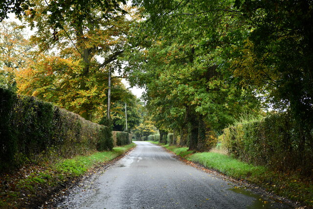
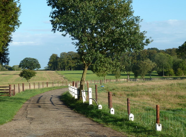
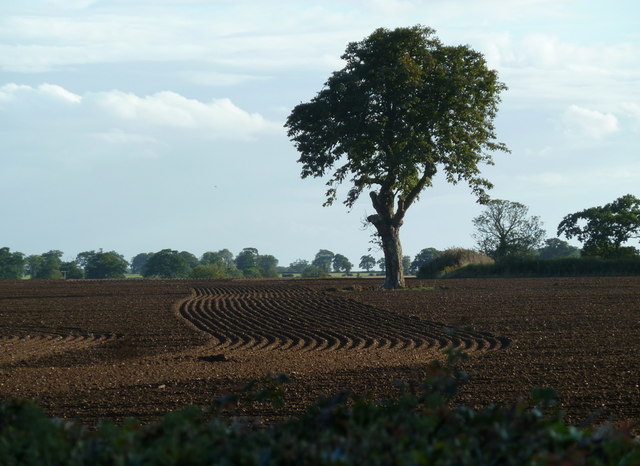
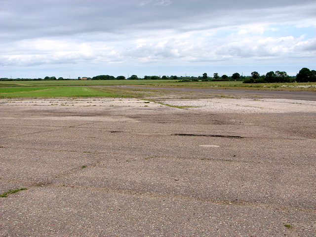
Ash Carr is a small woodland area located in Norfolk, England. It is situated within the larger Norfolk Forest, which covers a vast area of the county. Ash Carr is known for its dense population of ash trees, from which it derives its name.
The woodland is home to a diverse range of flora and fauna, with a variety of plant species thriving in the rich, fertile soil. The ash trees, which dominate the landscape, provide a canopy of shade, creating a cool and peaceful atmosphere. The forest floor is covered in a carpet of moss and ferns, creating a lush and vibrant undergrowth.
The wildlife in Ash Carr is abundant and diverse. Various bird species, such as woodpeckers and owls, can be found nesting in the trees. Small mammals, including foxes, rabbits, and squirrels, are commonly spotted scurrying about in search of food. The woodland is also home to a variety of insects, including butterflies, beetles, and spiders.
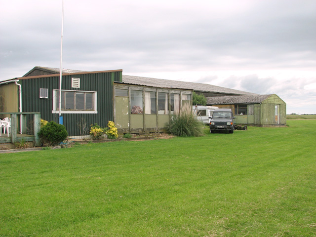
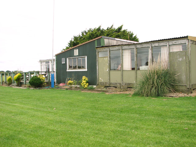
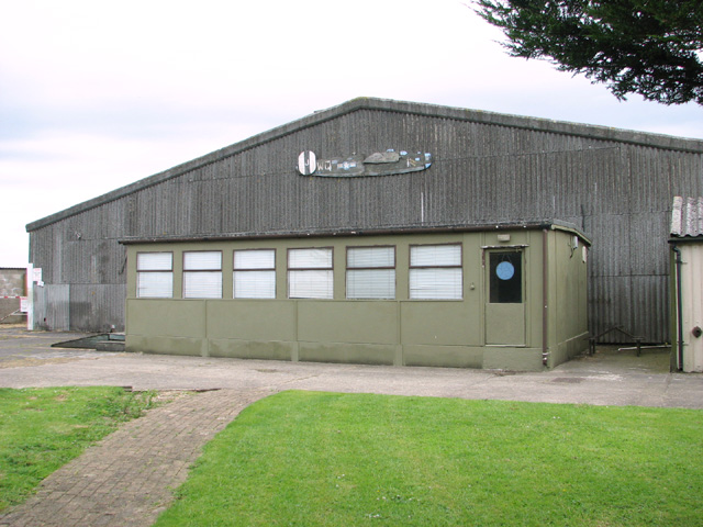
Ash Carr is a popular destination for nature enthusiasts and hikers. The woodland offers several walking trails, allowing visitors to explore the area and take in the beauty of nature. The peaceful and tranquil environment makes it an ideal spot for relaxation and contemplation.
In conclusion, Ash Carr is a picturesque woodland area located in Norfolk, England. With its dense population of ash trees, diverse wildlife, and peaceful atmosphere, it provides a serene escape for both locals and tourists alike.
If you have any feedback on the listing, please let us know in the comments section below.
Ash Carr Images
Images are sourced within 2km of 52.619997/0.90863819 or Grid Reference TF9606. Thanks to Geograph Open Source API. All images are credited.

Ash Carr is located at Grid Ref: TF9606 (Lat: 52.619997, Lng: 0.90863819)
Administrative County: Norfolk
District: Breckland
Police Authority: Norfolk
What 3 Words
///hexes.grapevine.prices. Near Shipdham, Norfolk
Nearby Locations
Related Wikis
Letton, Norfolk
Letton, a former village civil parish, is now part of the parish of Cranworth, in the Breckland district of Norfolk, England. The settlement is south-east...
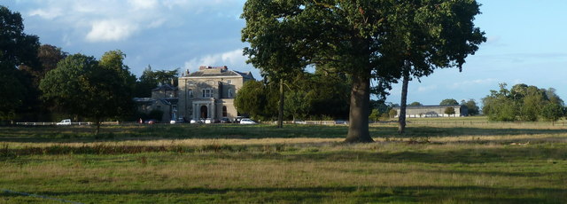
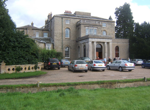
Letton Hall
Letton Hall is a Grade II listed eighteenth-century Neoclassical stately home designed by Sir John Soane for the Gurdon family between 1783 and 1789. It...
Shipdham
Shipdham is a village and civil parish in the Breckland district, in Norfolk, England, approximately 5 miles (8.0 km) south-south-west of Dereham. In...

Cranworth
Cranworth is a village and civil parish in the Breckland district of the English county of Norfolk. == History == Cranworth's name is of Anglo-Saxon origin...

Potter's Carr, Cranworth
Potter's Carr, Cranworth is a 6.3-hectare (16-acre) biological Site of Special Scientific Interest south of Dereham in Norfolk.This area of alder carr...
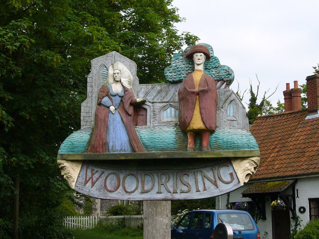
Woodrising, Norfolk
Woodrising is a village and former civil parish, now in the parish of Cranworth, in the Breckland district, in the county of Norfolk, England. The village...

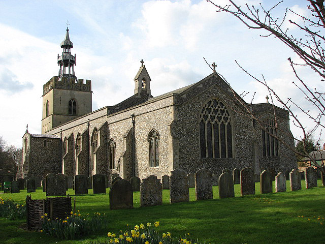
St Mary's Church, East Bradenham
St Mary's Church, East Bradenham, is a redundant Anglican church in the village of Bradenham, Norfolk, England. It is recorded in the National Heritage...

Reymerston Hall
Reymerston Hall is a listed Georgian house in Norfolk, England. It is a Georgian building listed as Grade II on the English Heritage Register. It was built...
Nearby Amenities
Located within 500m of 52.619997,0.90863819Have you been to Ash Carr?
Leave your review of Ash Carr below (or comments, questions and feedback).