Gurdon Plantation
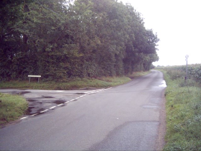
Wood, Forest in Norfolk Breckland
England
Gurdon Plantation
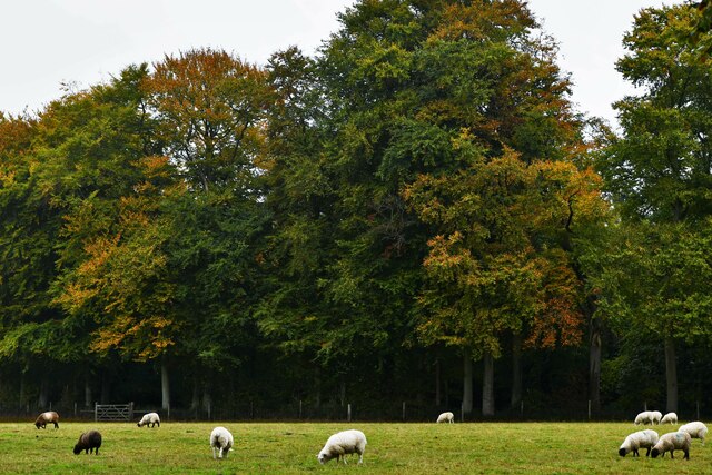
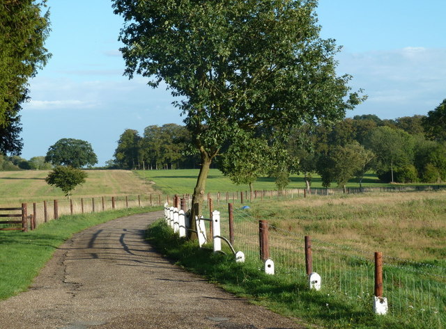
Gurdon Plantation, located in Norfolk, England, is a captivating woodland area that offers a serene and picturesque setting for nature enthusiasts and history buffs alike. Spanning over a vast expanse, the plantation boasts a rich history and an abundance of natural beauty.
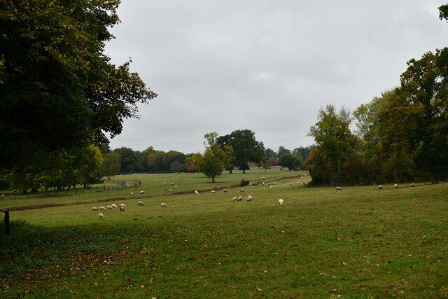
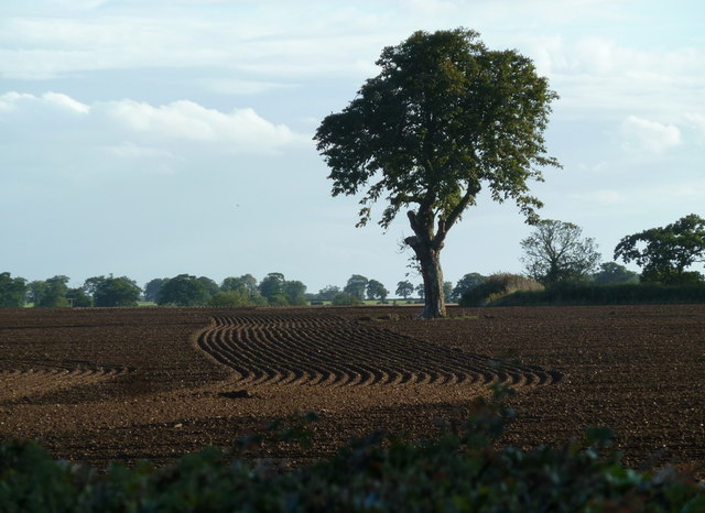
The plantation is primarily comprised of dense forests, with towering trees forming a lush canopy that provides shelter for an array of wildlife. The woodland is known for its diverse ecosystem, with a variety of flora and fauna thriving within its boundaries. It is home to numerous species of birds, small mammals, and insects, making it a popular destination for birdwatchers and wildlife photographers.
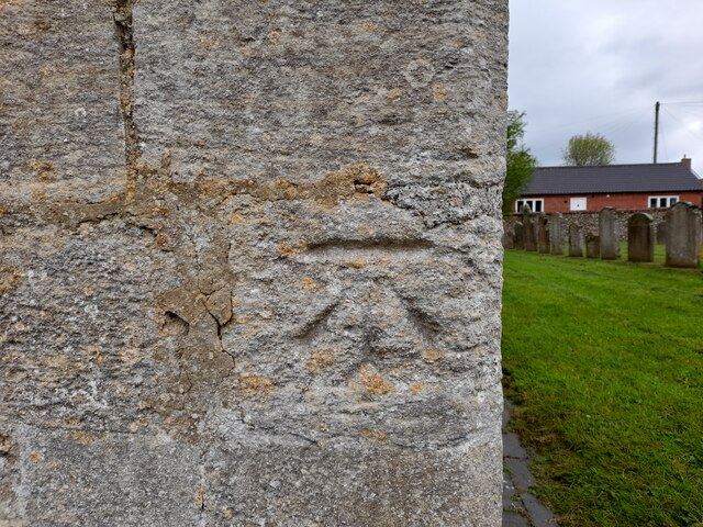
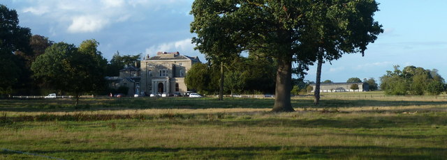
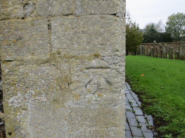
The history of Gurdon Plantation dates back several centuries. Originally owned by the Gurdon family, the plantation was a significant agricultural site during the 18th and 19th centuries. It played a pivotal role in the local economy, with crops such as wheat and barley being cultivated on its fertile soil. Today, remnants of the plantation's agricultural past can still be seen in the form of old farm buildings and stone walls.
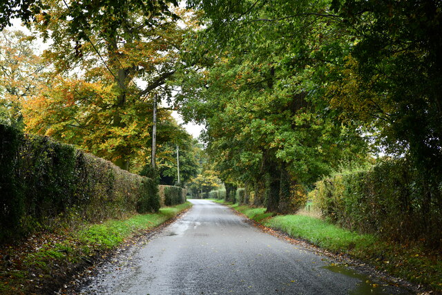
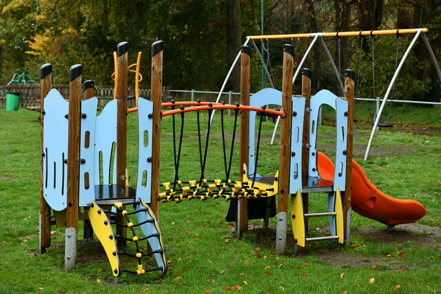
The plantation offers a range of recreational activities for visitors. Walking and hiking trails wind through the woodland, providing opportunities for outdoor exploration and exercise. There are also designated picnic areas where visitors can relax and enjoy the tranquility of the surroundings. The plantation is open to the public, and admission is usually free, making it an accessible destination for all.
Overall, Gurdon Plantation is a captivating woodland area that seamlessly blends history and natural beauty. Its rich heritage and diverse ecosystem make it a must-visit destination for those seeking a peaceful retreat in the heart of Norfolk's countryside.
If you have any feedback on the listing, please let us know in the comments section below.
Gurdon Plantation Images
Images are sourced within 2km of 52.617187/0.90258611 or Grid Reference TF9606. Thanks to Geograph Open Source API. All images are credited.

Gurdon Plantation is located at Grid Ref: TF9606 (Lat: 52.617187, Lng: 0.90258611)
Administrative County: Norfolk
District: Breckland
Police Authority: Norfolk
What 3 Words
///increased.chapels.polite. Near Shipdham, Norfolk
Nearby Locations
Related Wikis
Letton, Norfolk
Letton, a former village civil parish, is now part of the parish of Cranworth, in the Breckland district of Norfolk, England. The settlement is south-east...
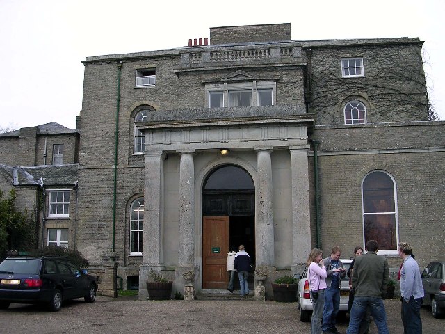
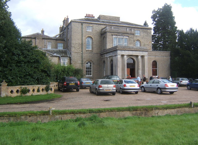
Letton Hall
Letton Hall is a Grade II listed eighteenth-century Neoclassical stately home designed by Sir John Soane for the Gurdon family between 1783 and 1789. It...
Shipdham
Shipdham is a village and civil parish in the Breckland district, in Norfolk, England, approximately 5 miles (8.0 km) south-south-west of Dereham. In...

Cranworth
Cranworth is a village and civil parish in the Breckland district of the English county of Norfolk. == History == Cranworth's name is of Anglo-Saxon origin...

Potter's Carr, Cranworth
Potter's Carr, Cranworth is a 6.3-hectare (16-acre) biological Site of Special Scientific Interest south of Dereham in Norfolk.This area of alder carr...
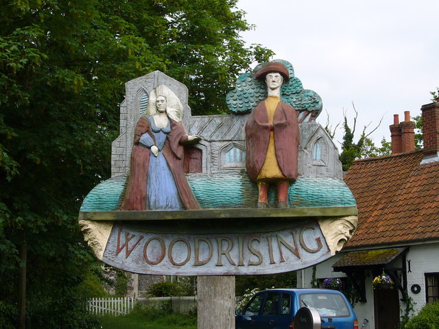
Woodrising, Norfolk
Woodrising is a village and former civil parish, now in the parish of Cranworth, in the Breckland district, in the county of Norfolk, England. The village...

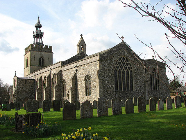
St Mary's Church, East Bradenham
St Mary's Church, East Bradenham, is a redundant Anglican church in the village of Bradenham, Norfolk, England. It is recorded in the National Heritage...

Carbrooke
Carbrooke is a village and civil parish in the Breckland district of Norfolk, England. It is 3 miles (4.8 km) from the centre of Watton and 17 miles (27...
Nearby Amenities
Located within 500m of 52.617187,0.90258611Have you been to Gurdon Plantation?
Leave your review of Gurdon Plantation below (or comments, questions and feedback).