West Belt
Wood, Forest in Norfolk Breckland
England
West Belt
West Belt, Norfolk, also known as Wood or Forest, is a small town located in the county of Norfolk, England. Situated in the eastern part of the country, West Belt is nestled in a picturesque area surrounded by lush greenery and natural beauty.
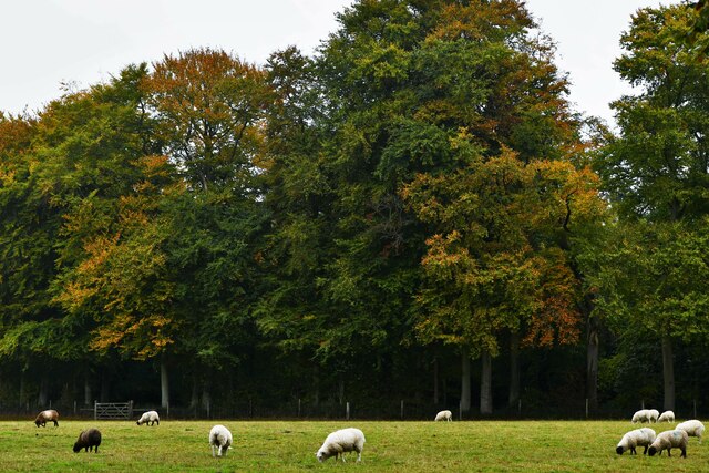
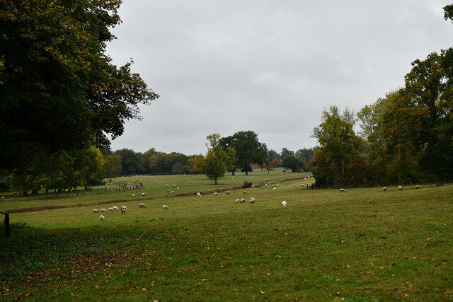
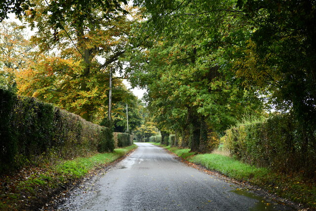
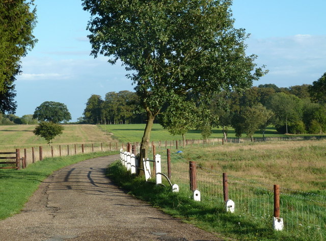
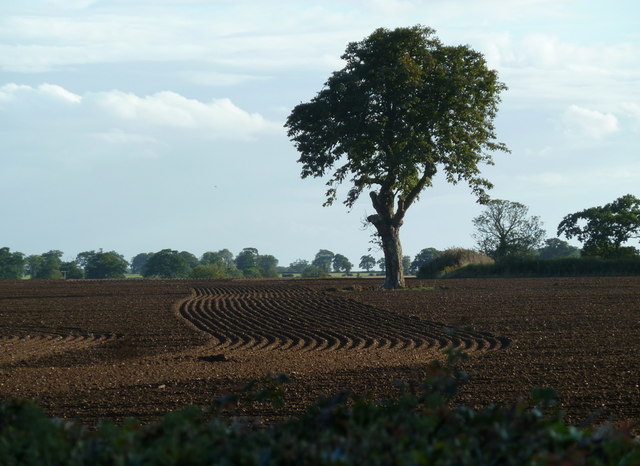
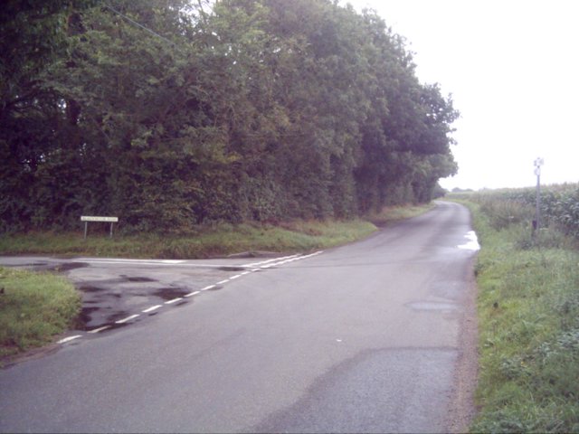
The town gets its name from the dense woodland that characterizes its landscape. The forested areas provide a tranquil and serene environment, attracting nature lovers and outdoor enthusiasts. West Belt is popular among hikers and walkers who can explore the numerous trails and paths that wind through the woods, offering breathtaking views and a chance to observe the local wildlife.
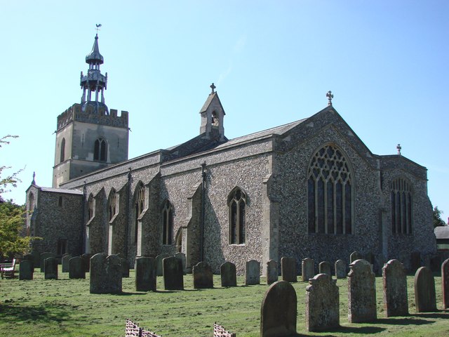
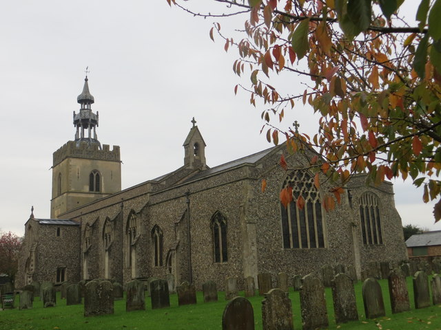
In addition to its natural attractions, West Belt also boasts a rich history. The town has a number of historical landmarks, including old churches and manor houses, which showcase the area's heritage and architectural charm. Visitors can immerse themselves in the past and learn about the town's significance throughout the centuries.
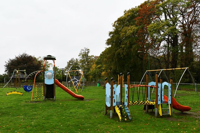
Despite its small size, West Belt offers a range of amenities to its residents and visitors. There are local shops, restaurants, and cafes where one can enjoy a meal or browse for unique souvenirs. The town also hosts community events and festivals throughout the year, bringing together residents and visitors for a celebration of local culture.
Overall, West Belt, Norfolk is a hidden gem that combines natural beauty with a rich historical heritage. Whether you're seeking outdoor adventures or a glimpse into the past, this charming town has something to offer for everyone.
If you have any feedback on the listing, please let us know in the comments section below.
West Belt Images
Images are sourced within 2km of 52.617168/0.90372254 or Grid Reference TF9606. Thanks to Geograph Open Source API. All images are credited.

West Belt is located at Grid Ref: TF9606 (Lat: 52.617168, Lng: 0.90372254)
Administrative County: Norfolk
District: Breckland
Police Authority: Norfolk
What 3 Words
///mixers.straw.elections. Near Shipdham, Norfolk
Nearby Locations
Related Wikis
Letton, Norfolk
Letton, a former village civil parish, is now part of the parish of Cranworth, in the Breckland district of Norfolk, England. The settlement is south-east...
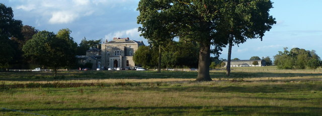
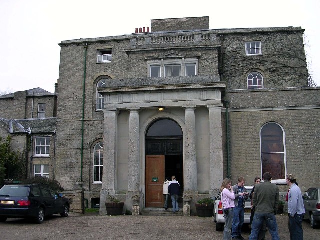
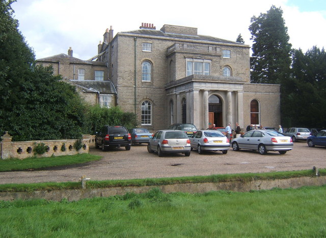
Letton Hall
Letton Hall is a Grade II listed eighteenth-century Neoclassical stately home designed by Sir John Soane for the Gurdon family between 1783 and 1789. It...
Shipdham
Shipdham is a village and civil parish in the Breckland district, in Norfolk, England, approximately 5 miles (8.0 km) south-south-west of Dereham. In...

Cranworth
Cranworth is a village and civil parish in the Breckland district of the English county of Norfolk. == History == Cranworth's name is of Anglo-Saxon origin...

Potter's Carr, Cranworth
Potter's Carr, Cranworth is a 6.3-hectare (16-acre) biological Site of Special Scientific Interest south of Dereham in Norfolk.This area of alder carr...
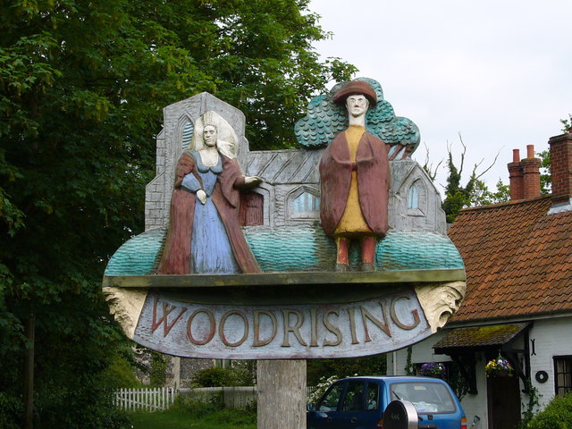
Woodrising, Norfolk
Woodrising is a village and former civil parish, now in the parish of Cranworth, in the Breckland district, in the county of Norfolk, England. The village...

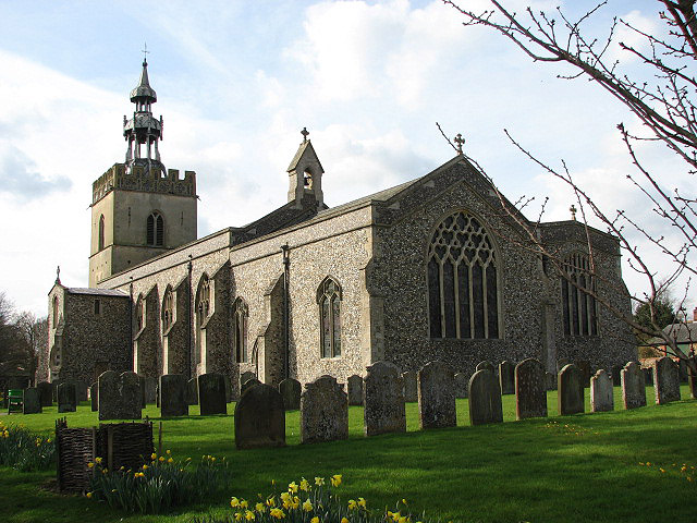
St Mary's Church, East Bradenham
St Mary's Church, East Bradenham, is a redundant Anglican church in the village of Bradenham, Norfolk, England. It is recorded in the National Heritage...

Carbrooke
Carbrooke is a village and civil parish in the Breckland district of Norfolk, England. It is 3 miles (4.8 km) from the centre of Watton and 17 miles (27...
Related Videos
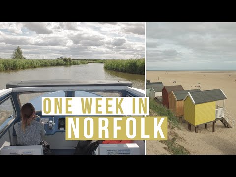
7 Days In Norfolk, UK | Hunstanton, Norfolk Coast, Norfolk Broads, Great Yarmouth, Norwich Vlog
7 Days In Norfolk, UK | Hunstanton, Norfolk Coast, Norfolk Broads, Great Yarmouth, Norwich Spending 7 days in Norfolk we visit ...
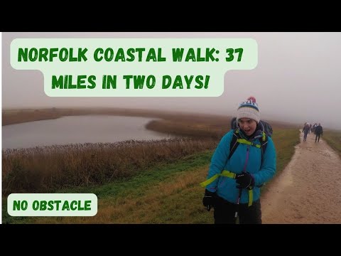
Walking with Jen: The Brutal Walk! 37 miles in TWO DAYS on the North Norfolk Coast!
Hey all, Well it took a long fucking time because I was trying to get to grips with new software plus general life. But FINALLY this ...
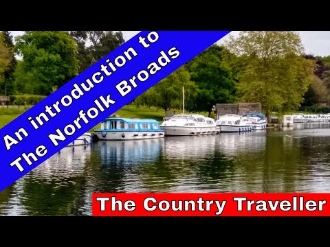
An introduction to boating holidays on The Norfolk Broads 2024 #travel2024 #leavenotrace
Thinking of a hiring a boat on The Norfolk Broads in 2024 or 2025? The best boatyard? This video will give you a taste of what you ...
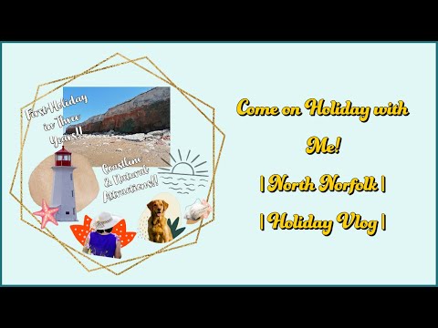
Come away on holiday with me! | North Norfolk Vlog | Coastline & Natural Attractions | Holiday Vlog
A couple of months back I went away on holiday with my family and the furbaby. A lot of fun was had by all and a lot of ground ...
Nearby Amenities
Located within 500m of 52.617168,0.90372254Have you been to West Belt?
Leave your review of West Belt below (or comments, questions and feedback).