Chapel Wood
Wood, Forest in Kent Ashford
England
Chapel Wood
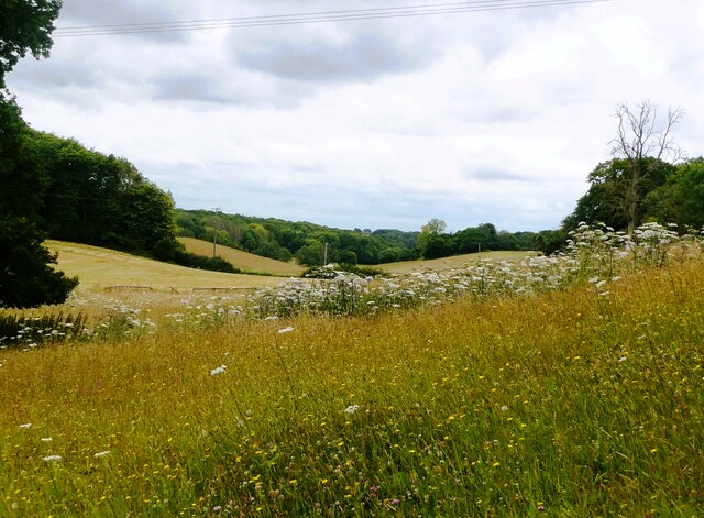
Chapel Wood is a picturesque forest located in Kent, England. It covers an area of approximately 100 acres and is renowned for its natural beauty and tranquil atmosphere. The wood is situated near the village of Lyminge and is easily accessible by both car and foot.
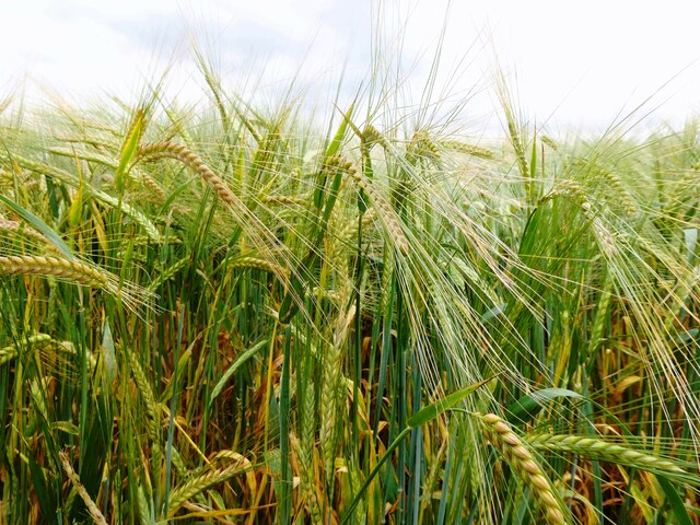
The forest is primarily composed of ancient woodland, with some parts dating back hundreds of years. It boasts a diverse range of tree species, including oak, beech, ash, and birch, which create a captivating and vibrant canopy during the warmer months. The forest floor is adorned with a rich carpet of ferns, bluebells, and wildflowers, adding to the enchanting ambiance.
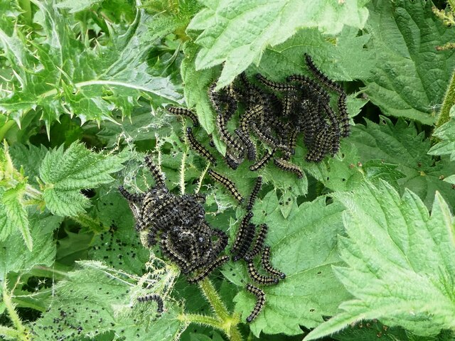
Chapel Wood offers a haven for wildlife enthusiasts, as it is home to a variety of fauna. Visitors may spot deer, squirrels, and rabbits roaming freely among the trees, while birdwatchers can enjoy the melodies of songbirds such as thrushes, woodpeckers, and owls. The wood also attracts a variety of butterflies and other insects, making it a popular destination for nature lovers and photographers.
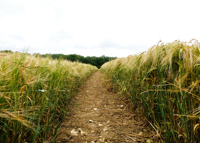
For those seeking outdoor recreational activities, Chapel Wood provides a network of well-maintained footpaths and trails, ideal for leisurely walks, jogging, or cycling. There are also several picnic areas scattered throughout the wood, allowing visitors to relax and enjoy a meal amidst the peaceful surroundings.
Overall, Chapel Wood in Kent offers a serene escape from the hustle and bustle of everyday life, providing a unique opportunity to connect with nature and enjoy the beauty of the British countryside.
If you have any feedback on the listing, please let us know in the comments section below.
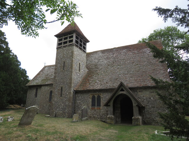
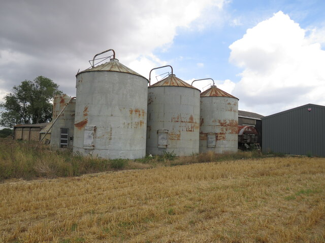
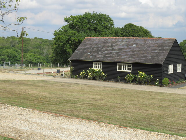
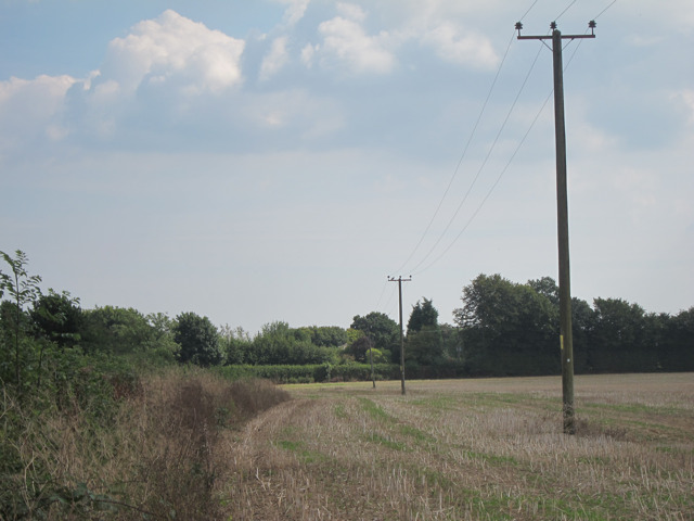
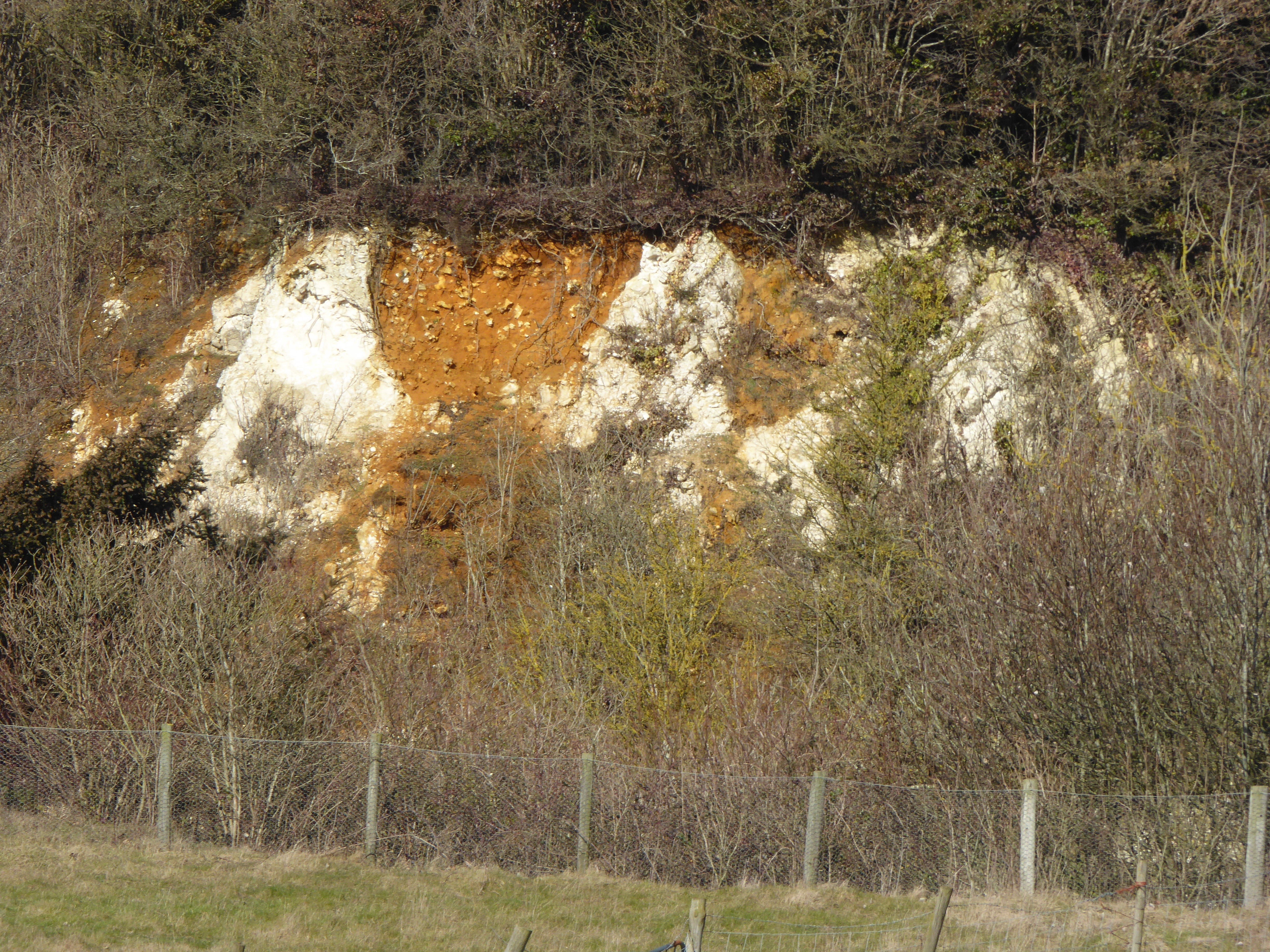
Chapel Wood Images
Images are sourced within 2km of 51.223125/0.81965761 or Grid Reference TQ9650. Thanks to Geograph Open Source API. All images are credited.


Chapel Wood is located at Grid Ref: TQ9650 (Lat: 51.223125, Lng: 0.81965761)
Administrative County: Kent
District: Ashford
Police Authority: Kent
What 3 Words
///contents.superbly.surcharge. Near Charing, Kent
Nearby Locations
Related Wikis

Charing Windmill
Charing Windmill is a Grade II listed smock windmill, now converted to a house, on Charing Hill in Kent in southeast England. It is sometimes known as...

Stalisfield
Stalisfield is a village in the borough of Swale in Kent, England, located on a secondary road about 1½ miles (2.4 km) north of Charing and 5 miles south...

Spuckles and Kennelling Woods
Spuckles and Kennelling Woods is a 20-hectare (49-acre) nature reserve north of Charing in Kent. It is managed by Kent Wildlife Trust. It is in the Kent...
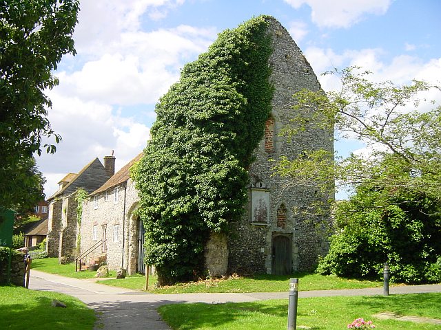
Archbishop's Palace, Charing
Archbishop's Palace, Charing, is an important heritage site dating back to the eighth century, and one of the earliest to be owned by the see of Canterbury...
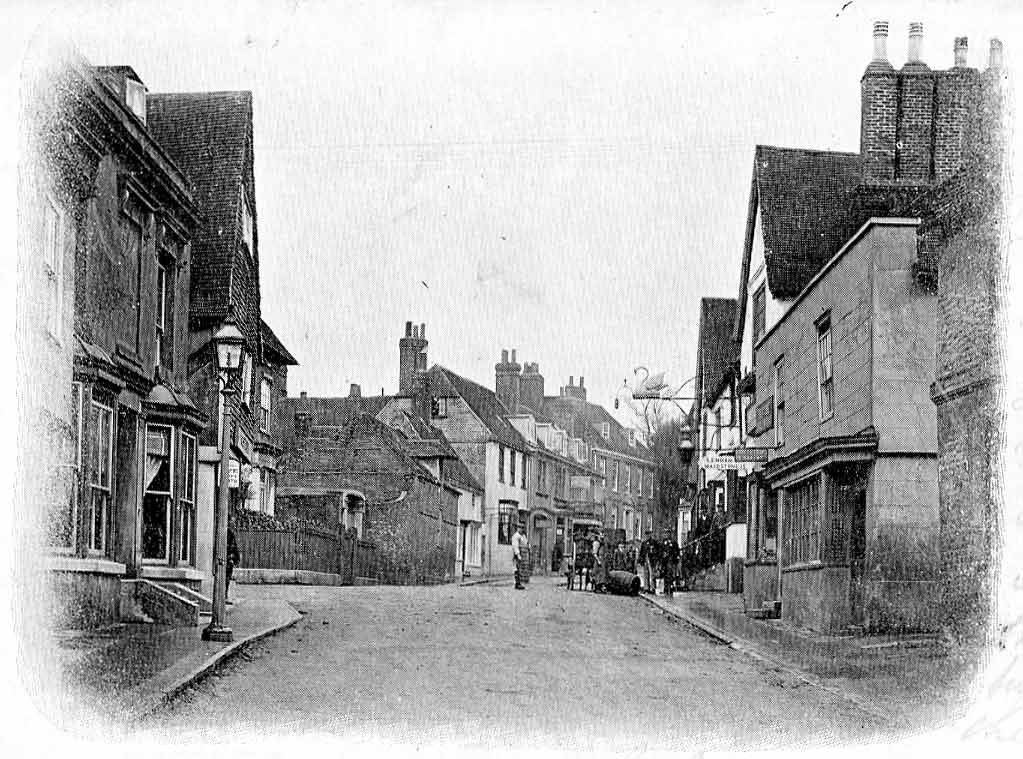
Charing
Charing is a village and civil parish in the Ashford District of Kent, in south-east England. It includes the settlements of Charing Heath and Westwell...

Charing Beech Hangers
Charing Beech Hangers is a 52.6-hectare (130-acre) biological Site of Special Scientific Interest north of Ashford in Kent.This steeply sloping site has...
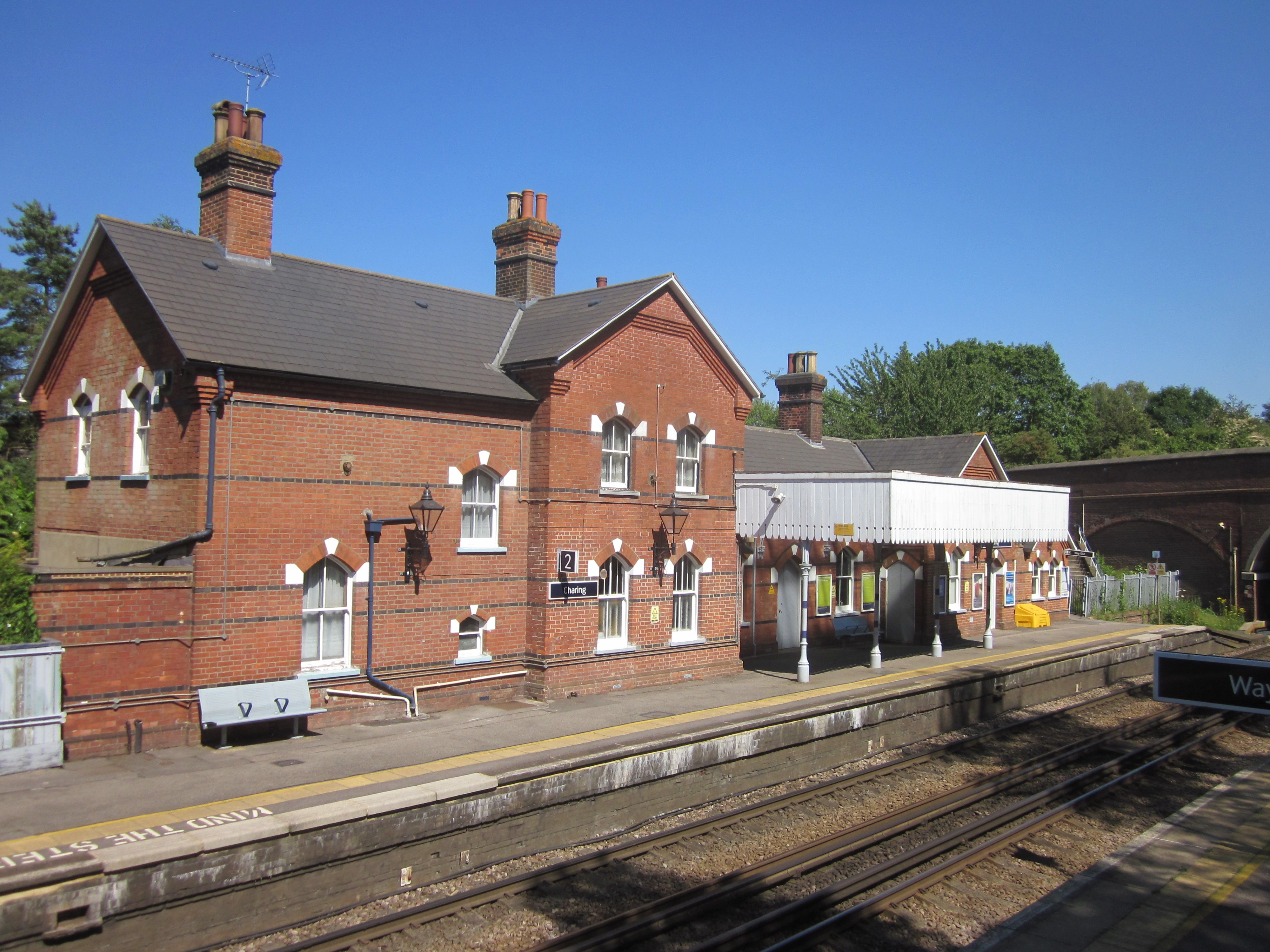
Charing railway station
Charing railway station serves the village of Charing in Kent, England. It is 53 miles 11 chains (85.5 km) down the line from London Victoria. The station...
Hart Hill, Kent
Hart Hill is a 1.4-hectare (3.5-acre) geological Site of Special Scientific Interest north-west of Charing Kent. It is a Geological Conservation Review...
Have you been to Chapel Wood?
Leave your review of Chapel Wood below (or comments, questions and feedback).