Down Wood
Wood, Forest in Kent Ashford
England
Down Wood
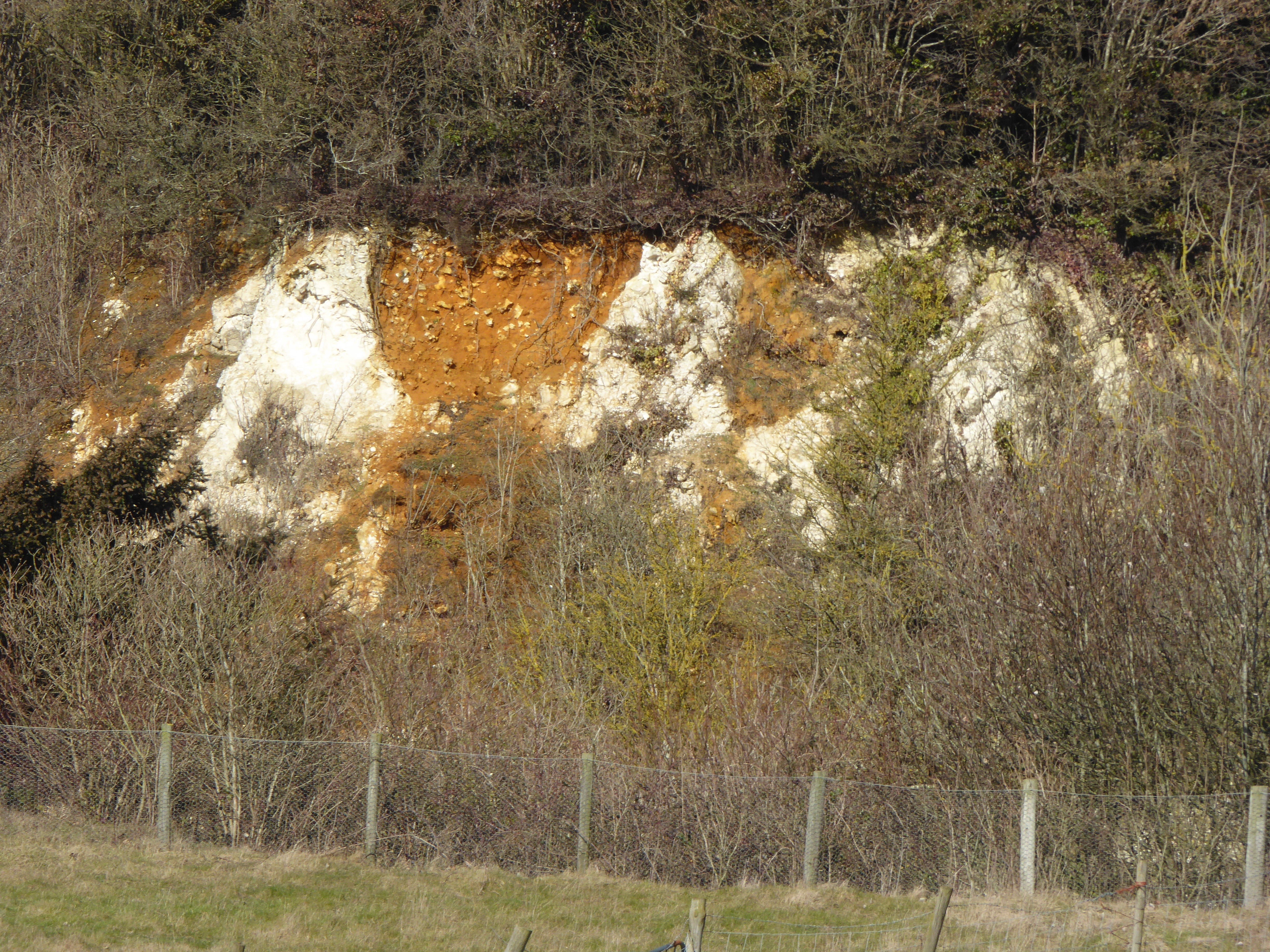
Down Wood, located in Kent, England, is a picturesque forest renowned for its natural beauty and diverse ecosystem. Spanning an area of approximately 500 acres, this enchanting woodland is a haven for nature lovers and avid hikers alike.
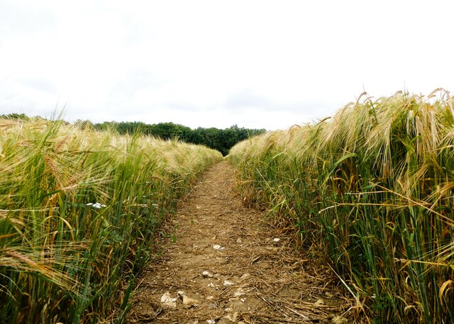
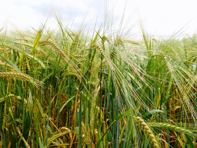
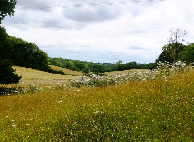
The wood is characterized by its dense canopy, consisting mainly of oak, beech, and birch trees. These towering giants provide ample shade and create a tranquil atmosphere, making it a popular destination for those seeking solace in nature. The forest floor is blanketed with a lush carpet of moss, ferns, and wildflowers, adding to its ethereal charm.
One of the notable features of Down Wood is its vast network of walking trails. These well-maintained paths wind through the forest, offering visitors the chance to explore its hidden treasures. As they navigate the winding trails, visitors may encounter a variety of wildlife, including deer, squirrels, and a myriad of bird species. The wood also boasts several small streams and ponds, providing a habitat for frogs, newts, and other aquatic creatures.
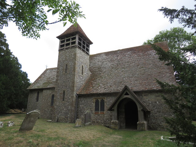
Down Wood has a rich history dating back centuries, with evidence of human activity, such as ancient burial mounds and remnants of Iron Age settlements, scattered throughout the forest. As a result, the woodland holds significant archaeological value and attracts researchers and history enthusiasts seeking to uncover its past.
In addition to its natural beauty and historical significance, Down Wood offers recreational activities such as picnicking, horseback riding, and nature photography. The wood is meticulously managed by local authorities to ensure the preservation of its delicate ecosystem and provide a safe and enjoyable experience for visitors.
Overall, Down Wood in Kent stands as an idyllic destination, combining breathtaking scenery, abundant wildlife, and a rich historical tapestry to create a truly enchanting natural sanctuary.
If you have any feedback on the listing, please let us know in the comments section below.
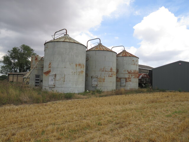
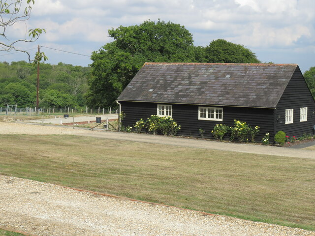
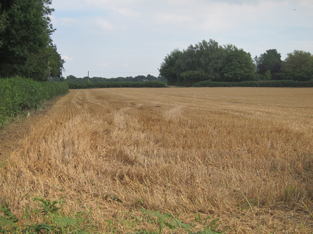
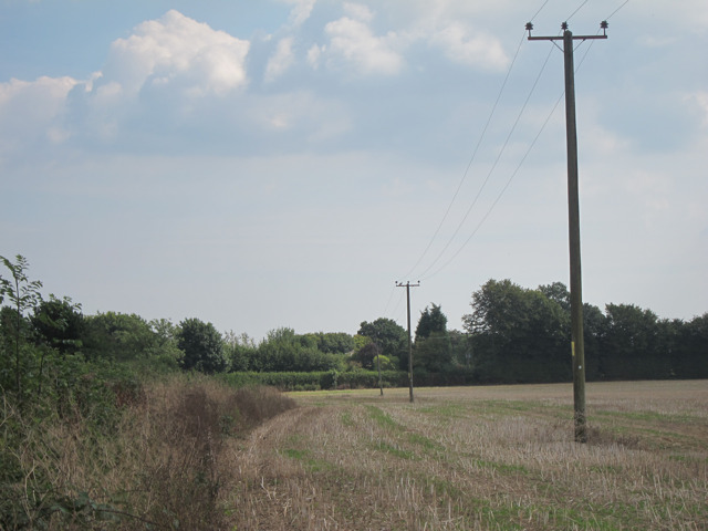
Down Wood Images
Images are sourced within 2km of 51.220504/0.80561888 or Grid Reference TQ9650. Thanks to Geograph Open Source API. All images are credited.


Down Wood is located at Grid Ref: TQ9650 (Lat: 51.220504, Lng: 0.80561888)
Administrative County: Kent
District: Ashford
Police Authority: Kent
What 3 Words
///slows.identify.hack. Near Charing, Kent
Nearby Locations
Related Wikis

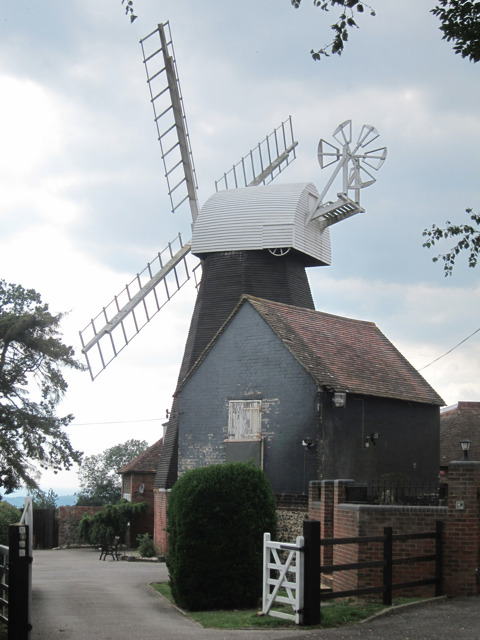
Charing Windmill
Charing Windmill is a Grade II listed smock windmill, now converted to a house, on Charing Hill in Kent in southeast England. It is sometimes known as...
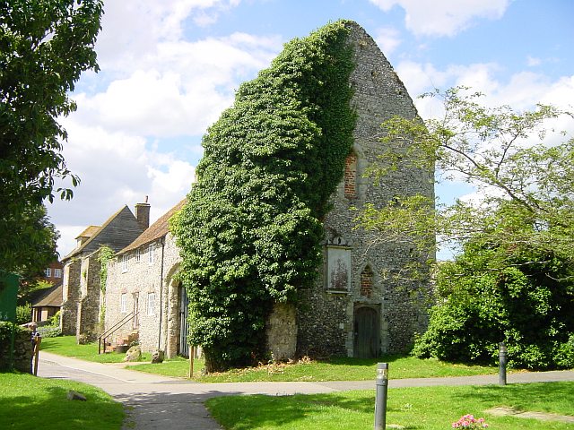
Archbishop's Palace, Charing
Archbishop's Palace, Charing, is an important heritage site dating back to the eighth century, and one of the earliest to be owned by the see of Canterbury...
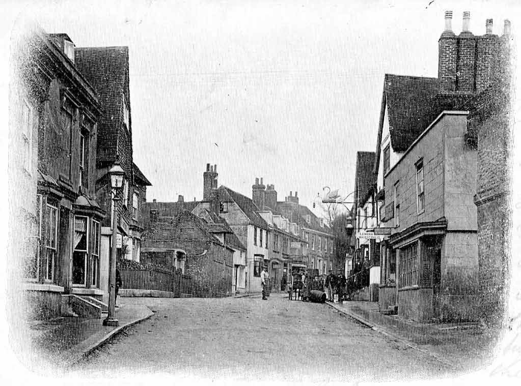
Charing
Charing is a village and civil parish in the Ashford District of Kent, in south-east England. It includes the settlements of Charing Heath and Westwell...
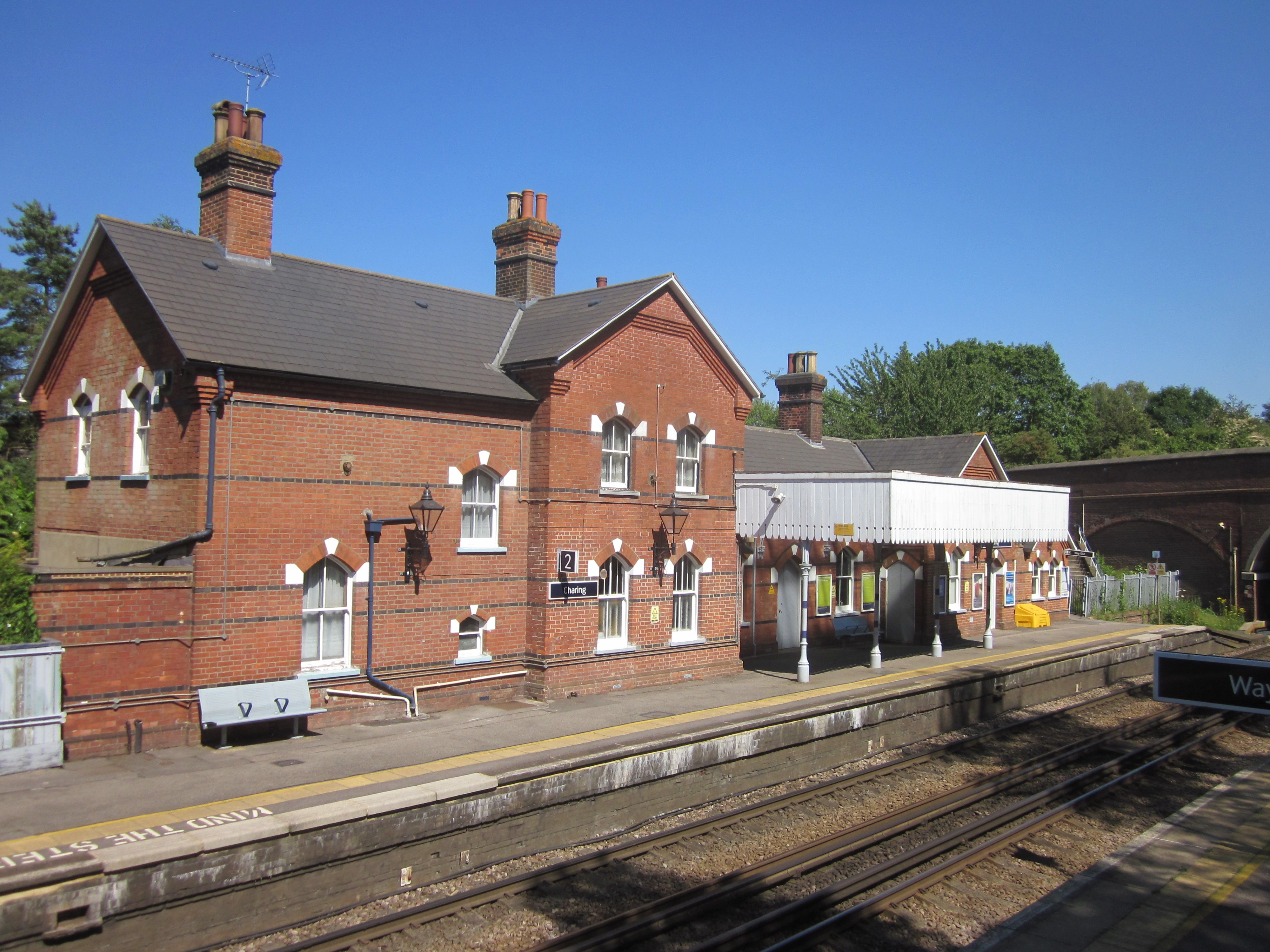
Charing railway station
Charing railway station serves the village of Charing in Kent, England. It is 53 miles 11 chains (85.5 km) down the line from London Victoria. The station...
Hart Hill, Kent
Hart Hill is a 1.4-hectare (3.5-acre) geological Site of Special Scientific Interest north-west of Charing Kent. It is a Geological Conservation Review...

Spuckles and Kennelling Woods
Spuckles and Kennelling Woods is a 20-hectare (49-acre) nature reserve north of Charing in Kent. It is managed by Kent Wildlife Trust. It is in the Kent...

Stalisfield
Stalisfield is a village in the borough of Swale in Kent, England, located on a secondary road about 1½ miles (2.4 km) north of Charing and 5 miles south...

Charing Beech Hangers
Charing Beech Hangers is a 52.6-hectare (130-acre) biological Site of Special Scientific Interest north of Ashford in Kent.This steeply sloping site has...
Nearby Amenities
Located within 500m of 51.220504,0.80561888Have you been to Down Wood?
Leave your review of Down Wood below (or comments, questions and feedback).