Blackness
Settlement in Sussex Wealden
England
Blackness
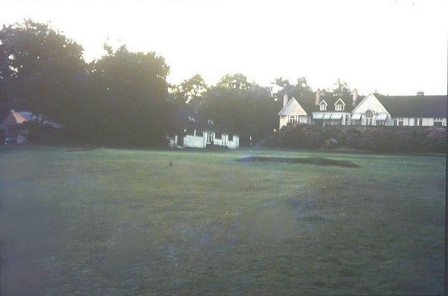
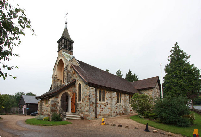
Blackness is a picturesque hamlet located in the county of Sussex, England. Situated in the South Downs National Park, this small village offers a tranquil and idyllic setting for residents and visitors alike. With a population of around 200, Blackness is known for its close-knit community and friendly atmosphere.
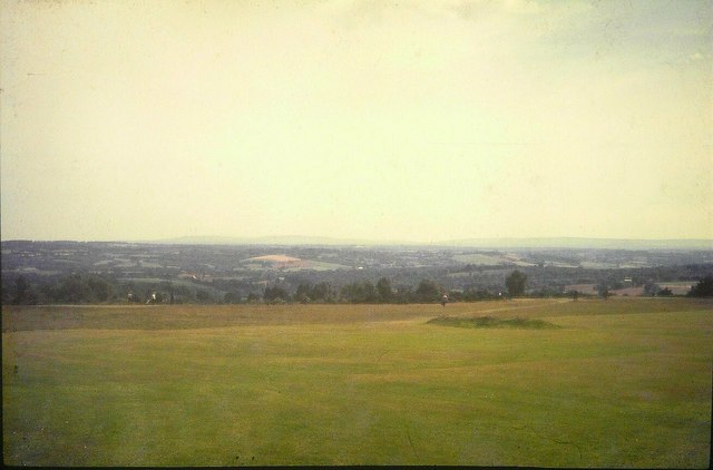
The village is characterized by its charming cottages, many of which date back to the 18th and 19th centuries, showcasing the architectural heritage of the region. Nestled amidst rolling hills and farmland, Blackness offers stunning views of the surrounding countryside, making it a popular destination for nature lovers and hikers.
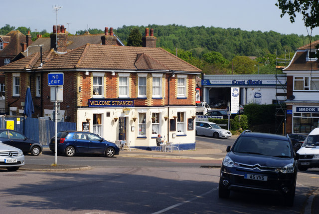
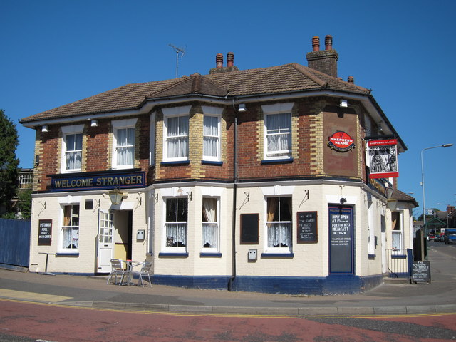
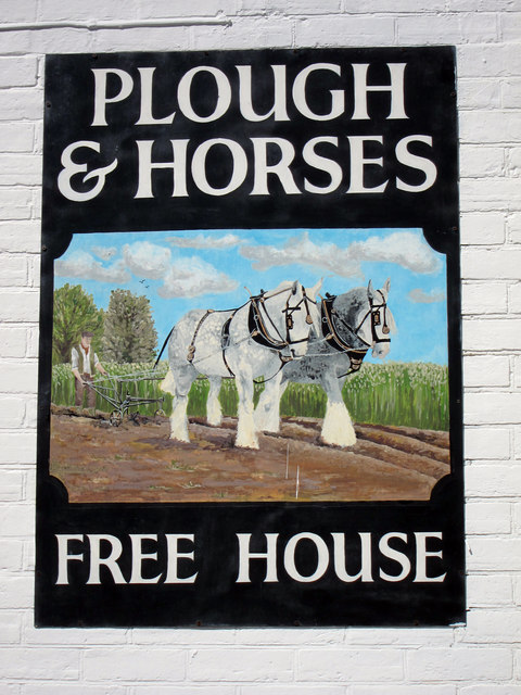
Despite its small size, Blackness boasts a few amenities to cater to the needs of its residents. The village has a local pub, providing a social hub for the community, and a village hall that hosts various events and activities throughout the year. Additionally, the nearby town of Lewes, just a short drive away, offers a wider range of services and amenities, including shops, supermarkets, and schools.
Blackness benefits from its proximity to the South Downs, offering ample opportunities for outdoor activities such as walking, cycling, and horse riding. The village is also conveniently located near popular tourist attractions, including the iconic Seven Sisters cliffs and the historic Lewes Castle.
Overall, Blackness presents a charming rural retreat, combining natural beauty, community spirit, and easy access to amenities, making it a desirable place to live or visit in Sussex.
If you have any feedback on the listing, please let us know in the comments section below.
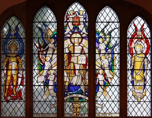
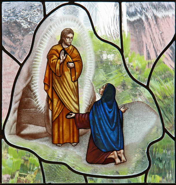
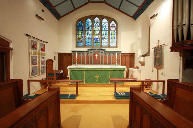
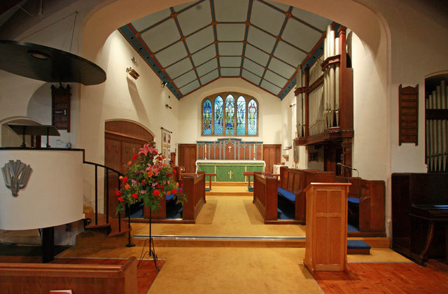
Blackness Images
Images are sourced within 2km of 51.050717/0.17147993 or Grid Reference TQ5230. Thanks to Geograph Open Source API. All images are credited.

Blackness is located at Grid Ref: TQ5230 (Lat: 51.050717, Lng: 0.17147993)
Administrative County: East Sussex
District: Wealden
Police Authority: Sussex
What 3 Words
///chew.coconut.wheat. Near Crowborough, East Sussex
Nearby Locations
Related Wikis

Beacon Academy
Beacon Academy (formerly Beacon Community College) is a coeducational secondary school and sixth form located in Crowborough in the English county of East...

Crowborough Country Park
Crowborough Country Park is a 7.3-hectare (18-acre) Local Nature Reserve on the western outskirts of Crowborough in East Sussex. It is owned and managed...
Luxford House
Luxford House is a 16th-century Grade II listed building near Crowborough, East Sussex. It is near the 11.5-acre (4.7 ha) Luxford Farm. It was used by...

Pratt's Mill, Crowborough
Pratt's Mill is a tower mill at Crowborough, Sussex, England which has been truncated and converted to residential accommodation. == History == Pratt...
Crowborough Athletic F.C.
Crowborough Athletic Football Club is a football club based in Crowborough, East Sussex, England. Affiliated to the Sussex County Football Association...

Jarvis Brook
Jarvis Brook is a village between Crowborough and Rotherfield in the Borough of Wealden East Sussex. Crowborough Railway Station, on the Uckfield branch...
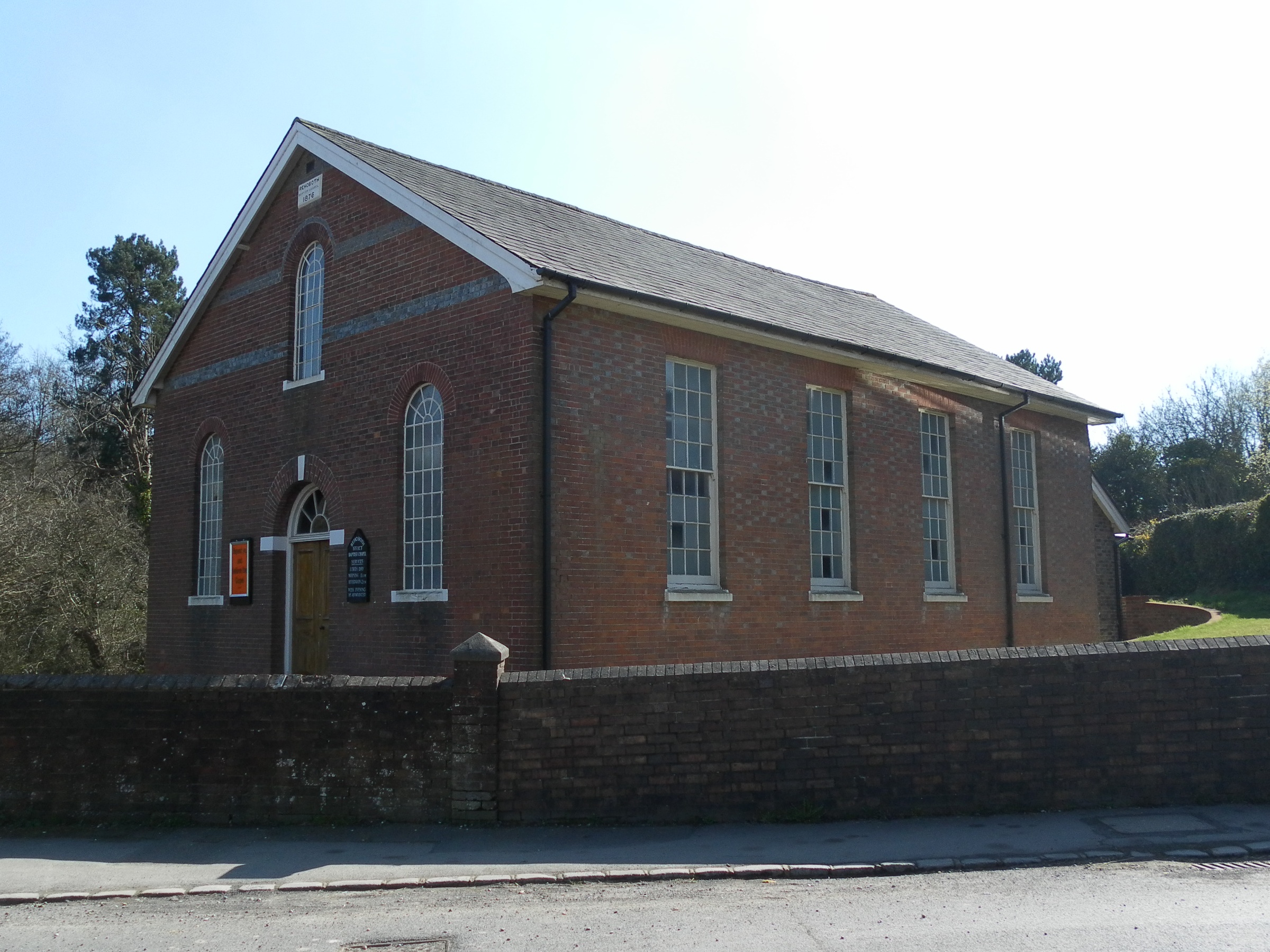
Rehoboth Chapel, Jarvis Brook
The Rehoboth Chapel is a Strict Baptist place of worship in the village of Jarvis Brook in the English county of East Sussex. The red- and blue-brick building...

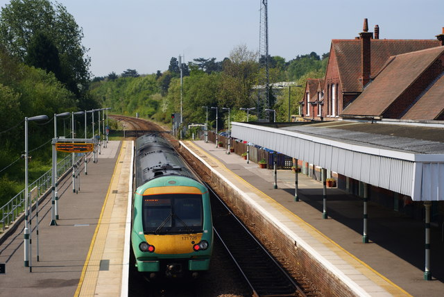
Crowborough railway station
Crowborough railway station is on the Uckfield branch of the Oxted Line in England, serving the town of Crowborough, East Sussex. It is 39 miles 11 chains...
Nearby Amenities
Located within 500m of 51.050717,0.17147993Have you been to Blackness?
Leave your review of Blackness below (or comments, questions and feedback).