Blackness
Settlement in Sussex Wealden
England
Blackness
Blackness is a small hamlet located in the county of Sussex, England. Situated in the southern part of the country, it is nestled amidst the picturesque countryside and offers a tranquil setting for its residents. Despite its small size, Blackness is known for its rich history and charming atmosphere.
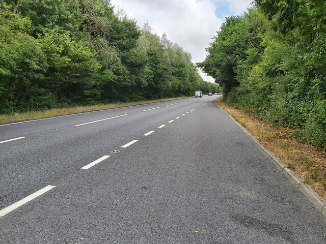
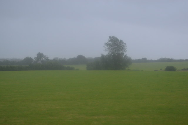
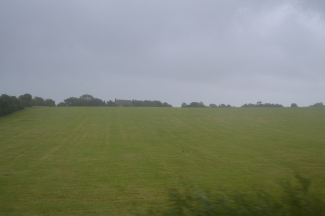
The hamlet is characterized by its traditional English architecture, with quaint cottages and houses dotting the landscape. The surrounding countryside is adorned with lush green fields and rolling hills, providing a scenic backdrop to the area. Blackness is blessed with an abundance of natural beauty, making it a popular destination for nature lovers and outdoor enthusiasts.
The community in Blackness is tight-knit, fostering a warm and friendly atmosphere. Residents take pride in maintaining the area's heritage and are actively involved in preserving its historic buildings and landmarks. The local church, a notable feature of the hamlet, serves as a hub for social gatherings and community events.
While Blackness may be a peaceful retreat, it is also conveniently located near larger towns and cities. The nearby market town of Lewes offers a range of amenities, including shops, restaurants, and cultural attractions. Additionally, the bustling city of Brighton is within easy reach, providing residents with access to a wider array of services and entertainment options.
Overall, Blackness is a scenic and historic hamlet that offers a peaceful and idyllic lifestyle. With its charming architecture, stunning countryside, and friendly community, it is a place that many are proud to call home.
If you have any feedback on the listing, please let us know in the comments section below.
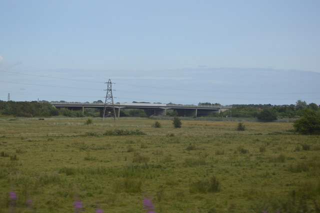
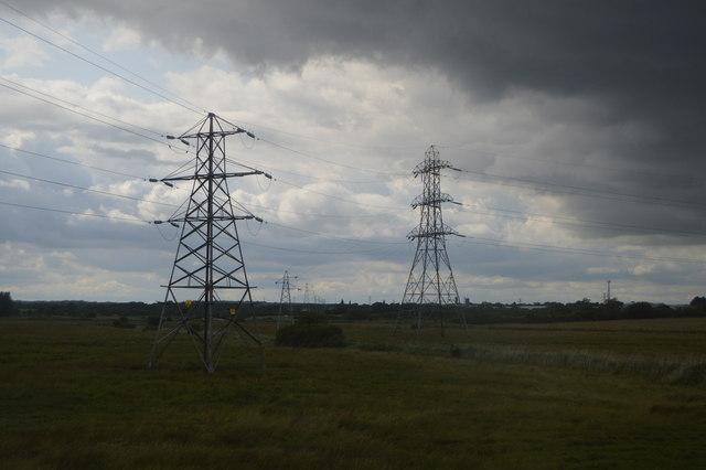
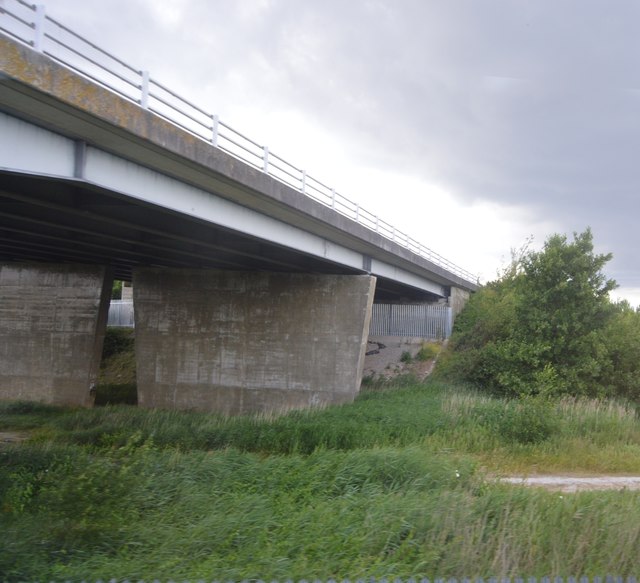
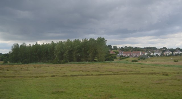
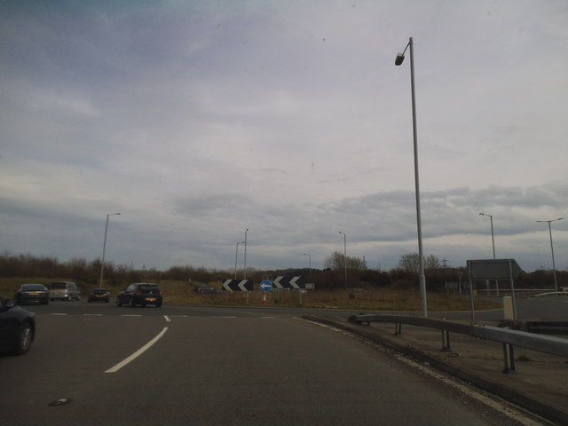
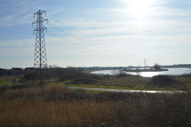
Blackness Images
Images are sourced within 2km of 50.82104/0.28938689 or Grid Reference TQ6104. Thanks to Geograph Open Source API. All images are credited.


Blackness is located at Grid Ref: TQ6104 (Lat: 50.82104, Lng: 0.28938689)
Administrative County: East Sussex
District: Wealden
Police Authority: Sussex
What 3 Words
///echo.brief.clean. Near Pevensey, East Sussex
Nearby Locations
Related Wikis
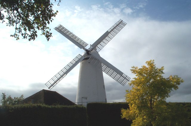
Stone Cross Windmill
Stone Cross Windmill is a grade II* listed tower mill at Stone Cross, East Sussex, England which has been restored and is open to the public. The mill...

Stone Cross Halt railway station
Stone Cross Halt railway station served Stone Cross, in the district of Wealden, East Sussex, England from 1905 to 1935 on the East Coastway Line. ��2...
The Turing School
The Turing School is a coeducational secondary school located within the Shinewater/Langney areas of Eastbourne, East Sussex, England. It was previously...
Wadham New Cut
Wadham New Cut is a minor, 667-metre (2,188 ft) long river (brook) and drainage ditch of the Pevensey Levels in the civil parish of Westham, Wealden District...
Nearby Amenities
Located within 500m of 50.82104,0.28938689Have you been to Blackness?
Leave your review of Blackness below (or comments, questions and feedback).