Blaxton Marsh
Coastal Marsh, Saltings in Devon South Hams
England
Blaxton Marsh
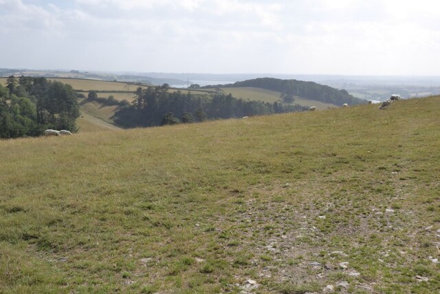
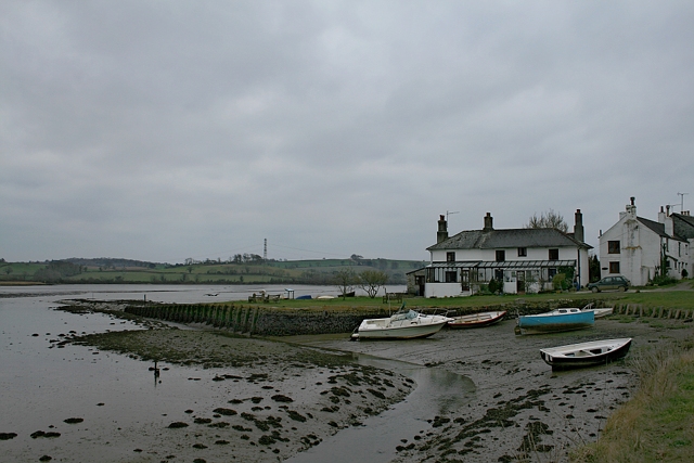
Blaxton Marsh, located in Devon, is a coastal marsh and saltings area known for its unique ecological features and breathtaking natural beauty. Spanning over a vast area, it is a haven for a diverse range of plant and animal species, making it a popular destination for nature enthusiasts and wildlife lovers.
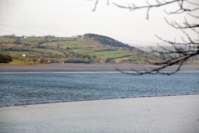
The marsh is characterized by its extensive salt marshes, which are formed by the deposition of salt-tolerant plants and sediment in the tidal flats. These marshes act as vital breeding grounds and habitats for various bird species, including rare and migratory ones such as the curlew, avocet, and lapwing. Birdwatchers flock to Blaxton Marsh to witness the spectacular sight of these birds nesting and foraging in their natural surroundings.
The marsh is also home to an array of plant species that are well-adapted to the saline conditions. Sea lavender, sea aster, and glasswort are some of the plants that thrive in this environment, creating a colorful tapestry across the landscape.
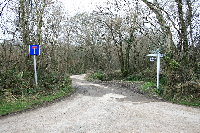
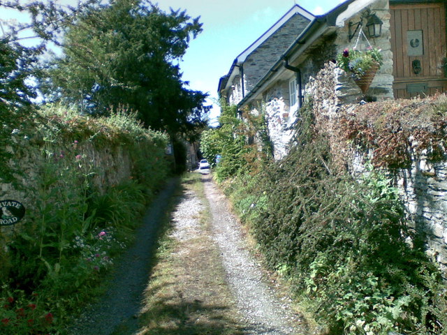
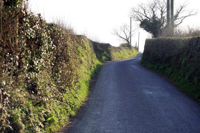
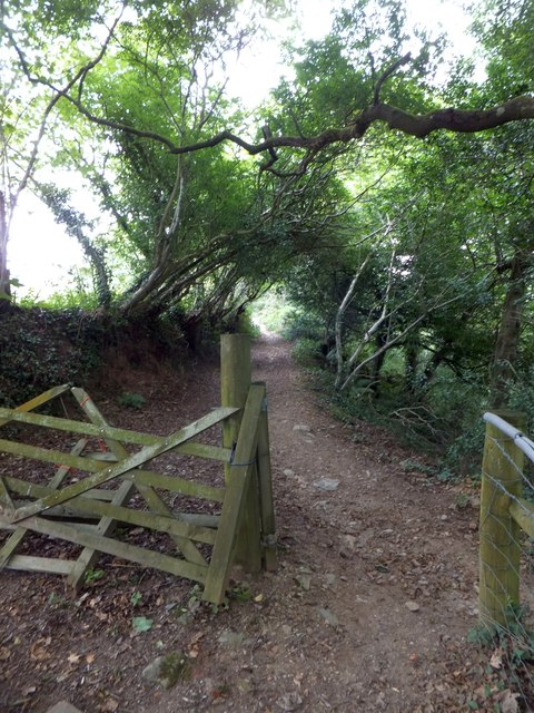
Blaxton Marsh offers visitors a chance to explore its natural wonders through a network of footpaths and trails that wind through the area. These paths provide an opportunity to observe the marsh's inhabitants up close while enjoying panoramic views of the surrounding coastline.
The marsh is not only a hotspot for wildlife but also plays a crucial role in mitigating the effects of coastal erosion and protecting the land from flooding. Its intricate system of salt marshes acts as a natural barrier, absorbing wave energy and reducing the impact of storms on the coastline.
Blaxton Marsh, with its rich biodiversity and ecological significance, is a must-visit destination for anyone seeking a closer connection with nature and a chance to witness the wonders of a coastal marsh ecosystem.
If you have any feedback on the listing, please let us know in the comments section below.
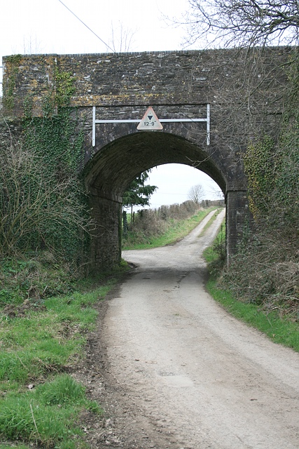
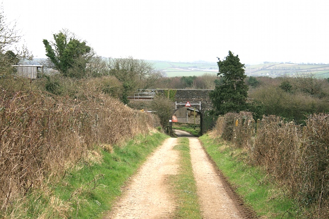
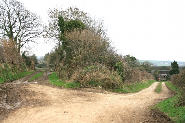
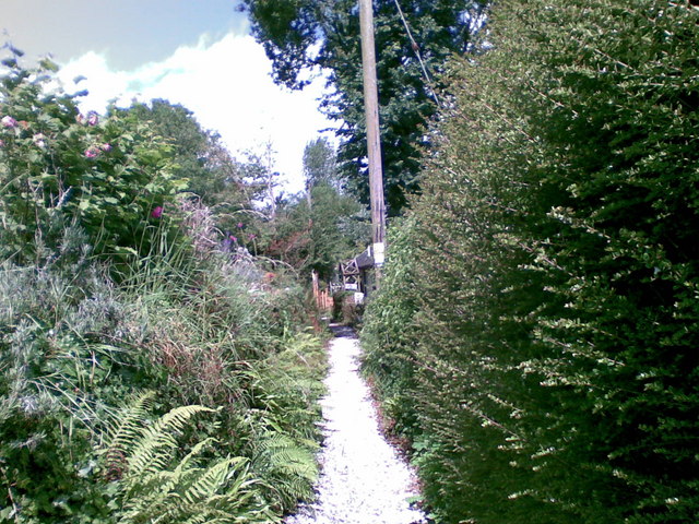
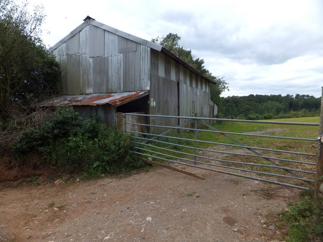
Blaxton Marsh Images
Images are sourced within 2km of 50.44578/-4.1645463 or Grid Reference SX4662. Thanks to Geograph Open Source API. All images are credited.

Blaxton Marsh is located at Grid Ref: SX4662 (Lat: 50.44578, Lng: -4.1645463)
Administrative County: Devon
District: South Hams
Police Authority: Devon and Cornwall
What 3 Words
///bless.chief.rugs. Near Bere Alston, Devon
Related Wikis
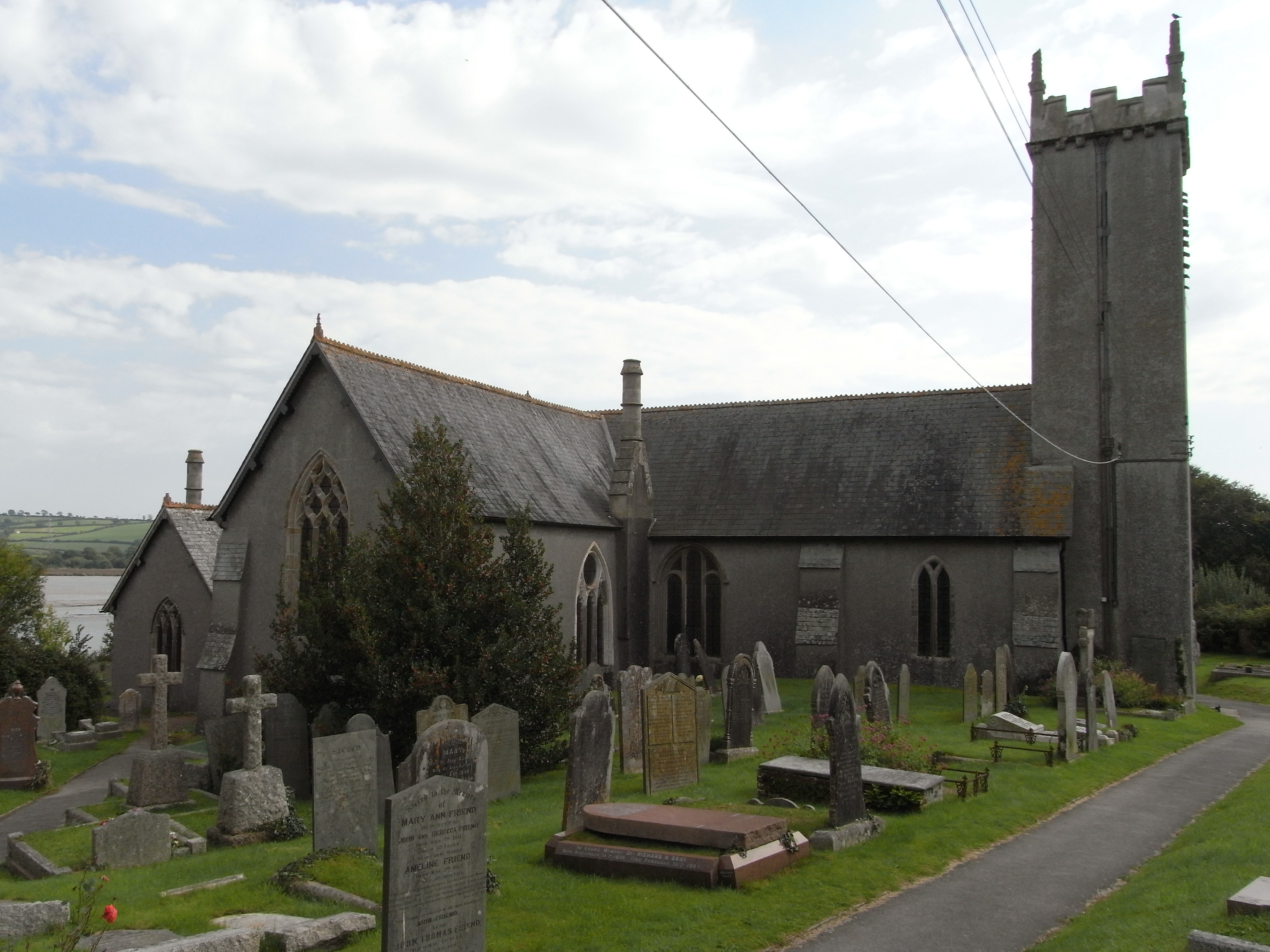
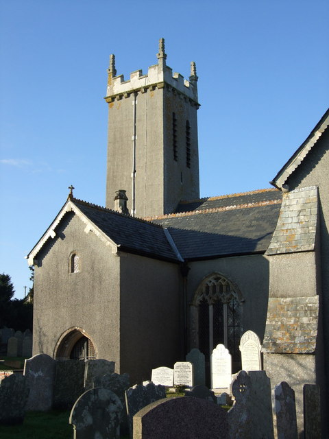
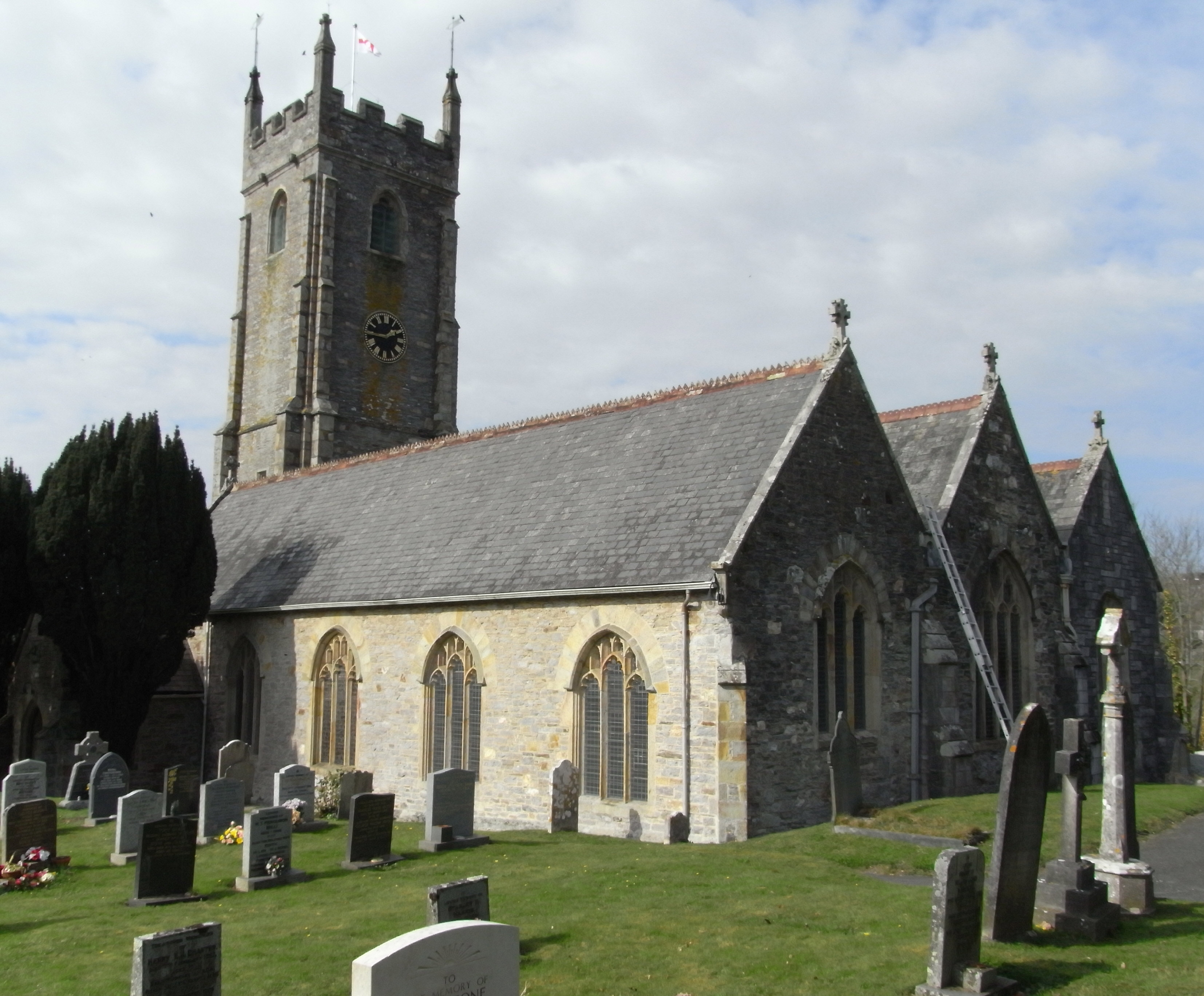
St Andrew's Church, Bere Ferrers
St Andrew's Church in Bere Ferrers, Devon, is a parish church in the Church of England The church contains the oldest stained-glass window in Devon (excluding...
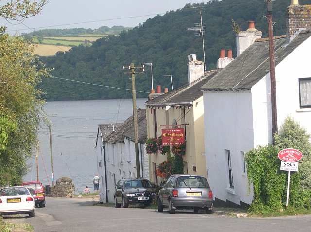
Bere Ferrers
Bere Ferrers, sometimes called Beerferris, is a village and civil parish on the Bere peninsula in West Devon in the English county of Devon. It is located...

Bere Ferrers railway station
Bere Ferrers station on the Tamar Valley Line is situated near the village of Bere Ferrers in Devon, England. The station is on the former Southern main...
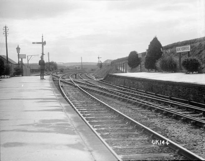
Bere Ferrers rail accident
The Bere Ferrers rail accident occurred at Bere Ferrers railway station in England on 24 September 1917 when ten soldiers from New Zealand alighted from...

Warleigh, Bickleigh
Warleigh is an historic estate within the parish of Bickleigh (formerly Tamerton Foliot) in Devon, about 6 miles from Plymouth. Warleigh House, the manor...

Maristow House
Maristow House in the parish of Bickleigh (formerly Tamerton Foliot), Devon, England, is a large country house set in landscaped parkland, on the River...

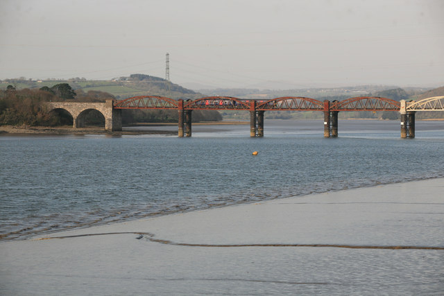
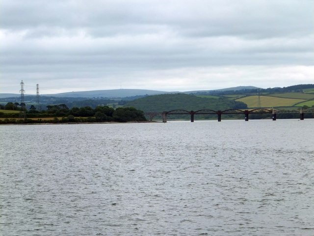
Tavy Bridge
Tavy Bridge is a railway bridge across the mouth of the River Tavy just east of its confluence with the River Tamar. It was built by the Plymouth, Devonport...
Tamerton Foliot
Tamerton Foliot is a village and former civil parish situated in the north of Plymouth, in the Plymouth district, in the ceremonial county of Devon, England...
Nearby Amenities
Located within 500m of 50.44578,-4.1645463Have you been to Blaxton Marsh?
Leave your review of Blaxton Marsh below (or comments, questions and feedback).