Higher Sandgore Plantation

Wood, Forest in Devon South Hams

England

Higher Sandgore Plantation

Turning to Shutecombe off Hensbury Lane Minor public road to Shutecombe (ahead), while Hensbury Lane continues (right) above the estuary.  In the C19, the fields above Hensbury Lane and the road to Shutecombe were planted as orchards, some of which survived into the post-war period.
Turning to Shutecombe off Hensbury Lane Credit: Hugh Craddock

Higher Sandgore Plantation is a stunning woodland located in Devon, England. Situated in the heart of the county, this plantation is a popular destination for nature enthusiasts and those seeking a peaceful retreat.

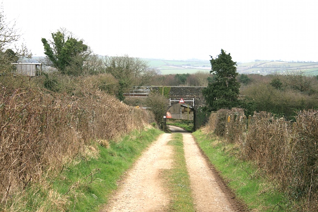
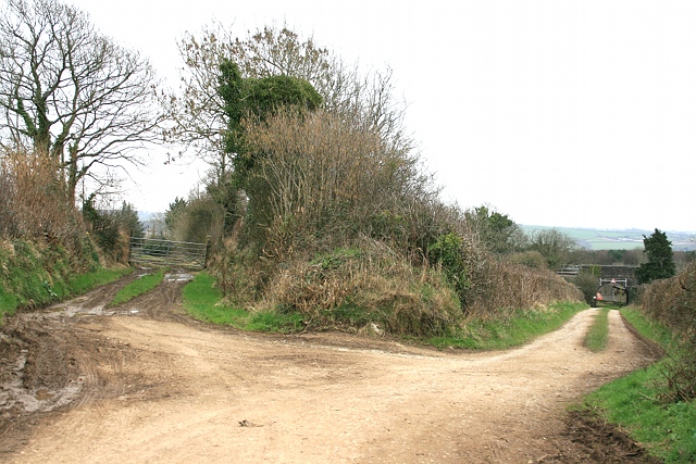
Covering an area of approximately 100 acres, Higher Sandgore Plantation is characterized by its diverse range of tree species. The woodland is predominantly composed of native broadleaf trees, including oak, beech, and ash, creating a rich and vibrant ecosystem. The dense canopy provides a haven for a variety of wildlife, making it a prime location for bird watching and nature photography.

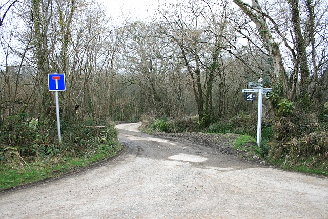
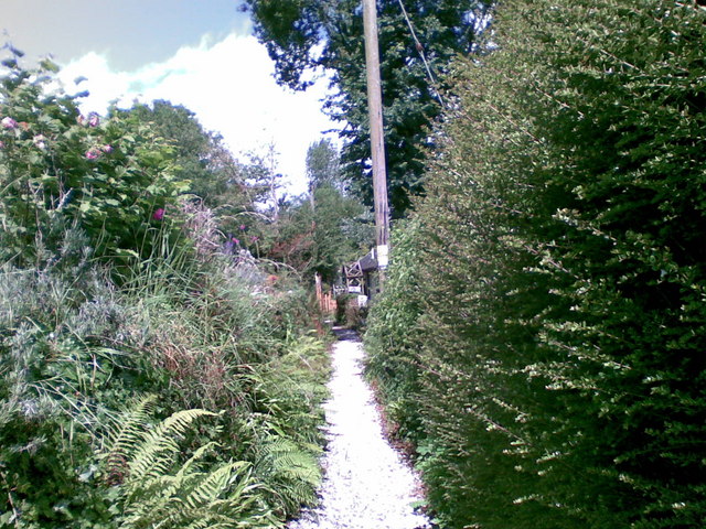
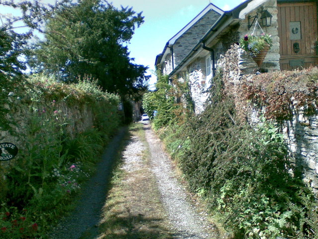
The plantation is crisscrossed with a network of well-maintained footpaths, allowing visitors to explore the woodland at their leisure. These paths wind through the trees, taking visitors on a journey through the different sections of the plantation. From the tranquil glades to the bustling bird hides, there is something for everyone to enjoy.

Higher Sandgore Plantation also boasts a charming picnic area, complete with benches and tables, providing the perfect spot for visitors to relax and enjoy a packed lunch amidst the natural beauty. Additionally, the plantation offers educational programs and workshops to promote environmental awareness and sustainable practices.

With its breathtaking scenery and abundant wildlife, Higher Sandgore Plantation is a hidden gem in the heart of Devon. Whether you are a nature lover, a keen walker, or simply seeking a peaceful escape from the hustle and bustle of everyday life, this woodland is a must-visit destination.

If you have any feedback on the listing, please let us know in the comments section below.

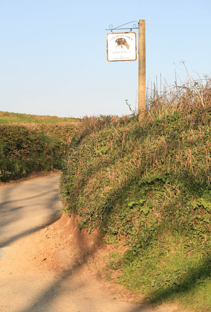
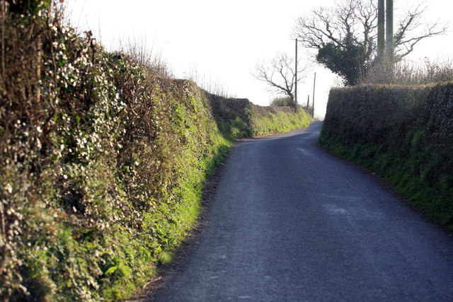
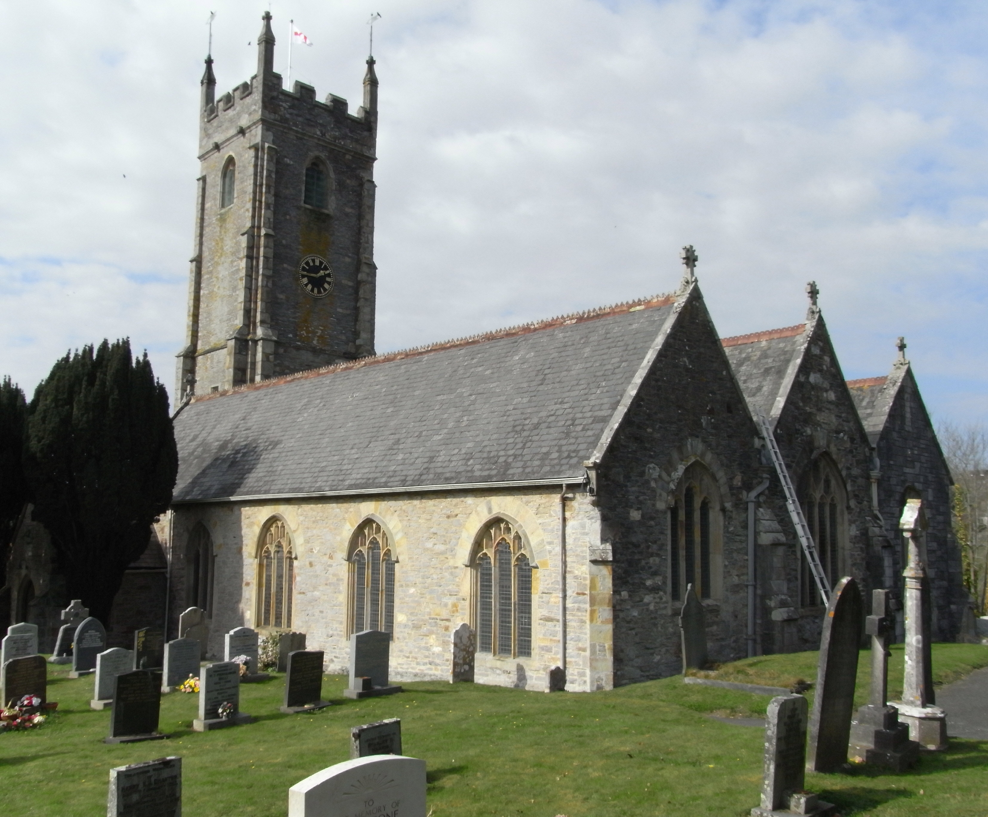
Higher Sandgore Plantation Images

Images are sourced within 2km of 50.438555/-4.1623013 or Grid Reference SX4662. Thanks to Geograph Open Source API. All images are credited.

Turning to Shutecombe off Hensbury Lane Minor public road to Shutecombe (ahead), while Hensbury Lane continues (right) above the estuary.  In the C19, the fields above Hensbury Lane and the road to Shutecombe were planted as orchards, some of which survived into the post-war period.
Turning to Shutecombe off Hensbury Lane
Minor public road to Shutecombe (ahead), while Hensbury Lane continues (right) above the estuary. In the C19, the fields above Hensbury Lane and the road to Shutecombe were planted as orchards, some of which survived into the post-war period.
Bere Ferrers: the quay From Hensbury Lane above the foreshore, Riverside dwellings centre. Seen here in brighter weather in July: <a href="https://www.geograph.org.uk/photo/1958368">SX4663 : Bere Ferrers: towards the old quay</a>.
Bere Ferrers: the quay
From Hensbury Lane above the foreshore, Riverside dwellings centre. Seen here in brighter weather in July: SX4663 : Bere Ferrers: towards the old quay.
Public convenience, Silver Street This small block appears to be a public convenience (and is marked as such on the OS map), although, tucked down an alleyway known as Silver Street, to the side of the Olde Plough, one might mistake it for the pub toilets. A streetmap helpfully illuminates the block.
Public convenience, Silver Street
This small block appears to be a public convenience (and is marked as such on the OS map), although, tucked down an alleyway known as Silver Street, to the side of the Olde Plough, one might mistake it for the pub toilets. A streetmap helpfully illuminates the block.
Railway bridge south of Bere Ferrers station Bridge under railway on track leading (ahead) to Thorn Point, and (left, under bridge) to New Barn Farm.
Railway bridge south of Bere Ferrers station
Bridge under railway on track leading (ahead) to Thorn Point, and (left, under bridge) to New Barn Farm.
Towards Bere Ferrers station A farm track, accommodating Bere Ferrers public footpath 87, approaches the railway bridge leading to Station Road and the village.
Towards Bere Ferrers station
A farm track, accommodating Bere Ferrers public footpath 87, approaches the railway bridge leading to Station Road and the village.
Old New Lane Before the construction of the Plymouth, Devonport and South Western Junction Railway Company line through Bere Ferrers in 1890, New Lane headed straight for what is now Station Road along the track on the left. The railway necessitated a diversion to the right, to pass under the railway south of the railway station, before hooking round to the left to rejoin the old New Lane and continue on to the junction with Station Road.
Old New Lane
Before the construction of the Plymouth, Devonport and South Western Junction Railway Company line through Bere Ferrers in 1890, New Lane headed straight for what is now Station Road along the track on the left. The railway necessitated a diversion to the right, to pass under the railway south of the railway station, before hooking round to the left to rejoin the old New Lane and continue on to the junction with Station Road.
Footpath, Bere Ferrers
Track, Bere Ferrers
Track, Bere Ferrers
Seven Stars Lane and pub - Tamerton Foliot
Upstream of Tamerton Foliot Stream
Downstream Tamerton Foliot Stream
St Mary's Church - Tamerton Foliot
Tamerton Foliot stream Station Road Tamerton Foliot stream as it flows towards Tamerton Creek.
Tamerton Foliot stream Station Road
Tamerton Foliot stream as it flows towards Tamerton Creek.
Stream, Milford Lane Stream at Milford Lane, Tamerton Foliot.
Stream, Milford Lane
Stream at Milford Lane, Tamerton Foliot.
Porsham Farm Lane and sign Narrow Devon lane leading to Tamerton Foliot
Porsham Farm Lane and sign
Narrow Devon lane leading to Tamerton Foliot
Sopers Hill A great view along this Devon Lane nr Porsham farm. In the far distance the Gunnislake Railway crosses the Tavy on an iron bridge.
Sopers Hill
A great view along this Devon Lane nr Porsham farm. In the far distance the Gunnislake Railway crosses the Tavy on an iron bridge.
Roborough Lane Looking towards Tamerton Foliot.
Roborough Lane
Looking towards Tamerton Foliot.
City and Countryside A view across the valley , Southway part of Plymouth meets the countryside as seen from the Tamerton Road.
City and Countryside
A view across the valley , Southway part of Plymouth meets the countryside as seen from the Tamerton Road.
Show me another place!

Higher Sandgore Plantation is located at Grid Ref: SX4662 (Lat: 50.438555, Lng: -4.1623013)

Administrative County: Devon

District: South Hams

Police Authority: Devon and Cornwall

What 3 Words

///card.curl.soda. Near Bere Alston, Devon

Related Wikis

Warleigh, Bickleigh

Warleigh is an historic estate within the parish of Bickleigh (formerly Tamerton Foliot) in Devon, about 6 miles from Plymouth. Warleigh House, the manor...

Tamerton Foliot

Tamerton Foliot is a village and former civil parish situated in the north of Plymouth, in the Plymouth district, in the ceremonial county of Devon, England...

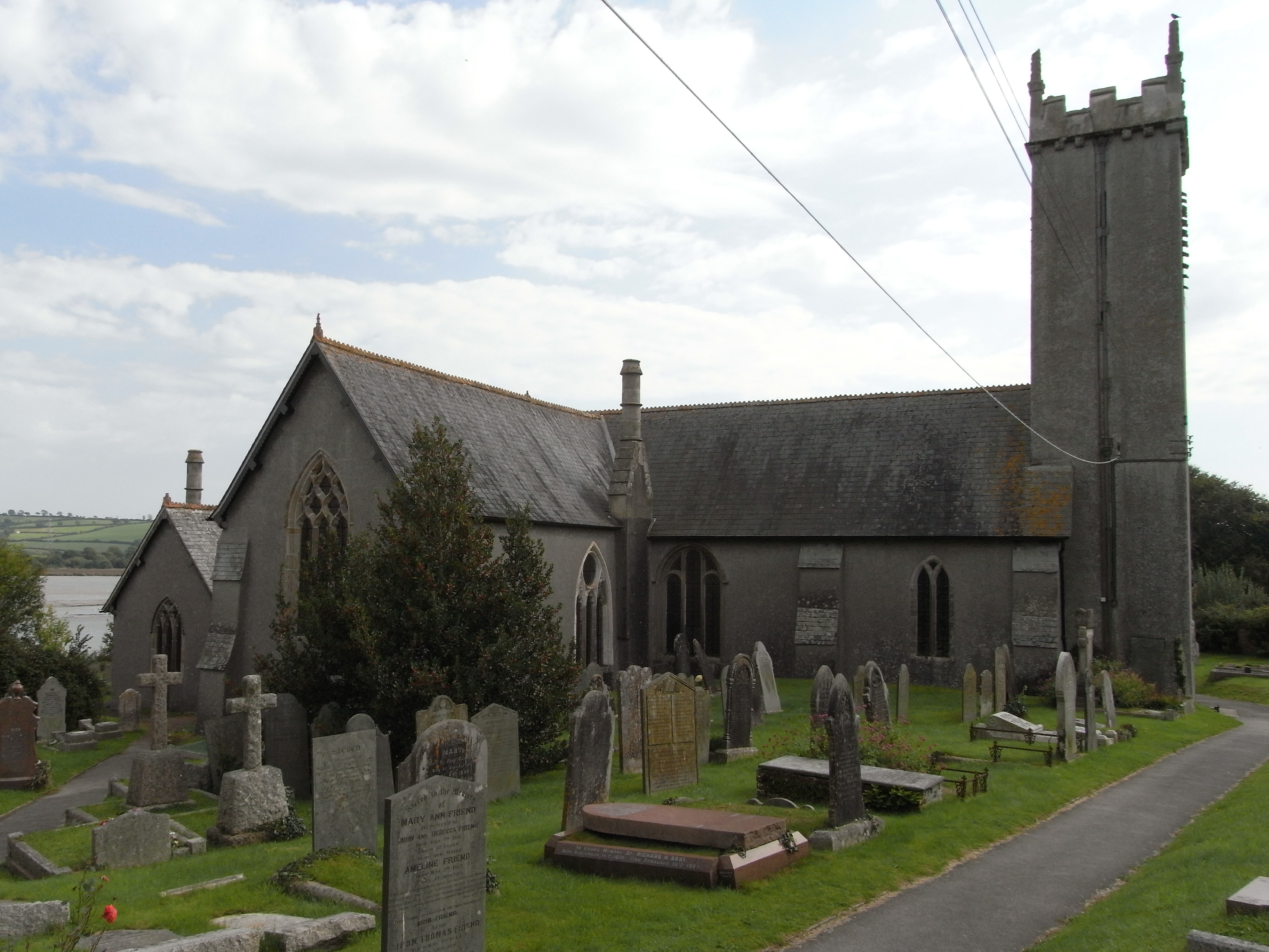
St Andrew's Church, Bere Ferrers

St Andrew's Church in Bere Ferrers, Devon, is a parish church in the Church of England The church contains the oldest stained-glass window in Devon (excluding...
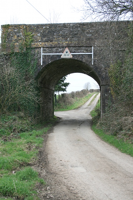
Tavy Bridge

Tavy Bridge is a railway bridge across the mouth of the River Tavy just east of its confluence with the River Tamar. It was built by the Plymouth, Devonport...

Nearby Amenities

Located within 500m of 50.438555,-4.1623013
Source: PGS
Lat/Long: 50.4423772/-4.1655825
Source: PGS
Lat/Long: 50.4423097/-4.1657461
Power: tower
Lat/Long: 50.4406232/-4.1651049
Power: tower
Lat/Long: 50.4404655/-4.1601062
Power: tower
Lat/Long: 50.4402287/-4.155975
Poles: bipole
Power: pole
Source: bing
Lat/Long: 50.4360675/-4.1572895
Poles: bipole
Power: pole
Source: bing
Lat/Long: 50.4351691/-4.1602175
Poles: bipole
Power: pole
Source: bing
Lat/Long: 50.4347124/-4.1617005
The data included in this document is from www.openstreetmap.org. The data is made available under ODbL.

Have you been to Higher Sandgore Plantation?

Leave your review of Higher Sandgore Plantation below (or comments, questions and feedback).