Warleigh Marsh

Coastal Marsh, Saltings in Devon South Hams

England

Warleigh Marsh

Turning to Shutecombe off Hensbury Lane Minor public road to Shutecombe (ahead), while Hensbury Lane continues (right) above the estuary.  In the C19, the fields above Hensbury Lane and the road to Shutecombe were planted as orchards, some of which survived into the post-war period.
Turning to Shutecombe off Hensbury Lane Credit: Hugh Craddock

Warleigh Marsh, located in Devon, is a beautiful coastal marshland characterized by its unique salt marshes, known as saltings. Covering an area of approximately 30 hectares, this stunning natural reserve is renowned for its rich biodiversity and scenic views.

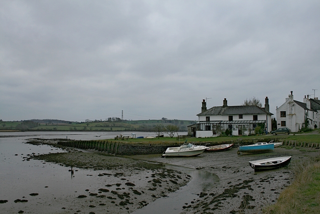
The marshland is situated along the River Tavy estuary, providing a vital habitat for various plant and animal species. The saltings, which are flooded by the tides twice a day, create an ideal environment for salt-tolerant vegetation such as glasswort, sea lavender, and cordgrass. These plants not only stabilize the marshland but also attract numerous bird species, including wading birds like redshanks and curlews, as well as migratory birds like sandpipers and dunlins.

In addition to its ecological significance, Warleigh Marsh also offers recreational opportunities for visitors. A network of footpaths and trails allows visitors to explore the marshland and enjoy its natural beauty. The trails meander through reed beds, ponds, and ditches, providing a chance to spot various wildlife species, including otters, water voles, and dragonflies. Birdwatching is a popular activity, and the panoramic views of the river estuary and surrounding countryside make it a perfect spot for photography enthusiasts.

Warleigh Marsh is managed by local conservation organizations in collaboration with government bodies to protect its fragile ecosystem. Educational programs and guided tours are offered to raise awareness about the importance of preserving this valuable coastal habitat.

Overall, Warleigh Marsh in Devon is a picturesque and ecologically important coastal marshland, offering a diverse range of plant and animal life, as well as recreational opportunities for nature lovers and tourists alike.

If you have any feedback on the listing, please let us know in the comments section below.

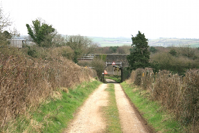
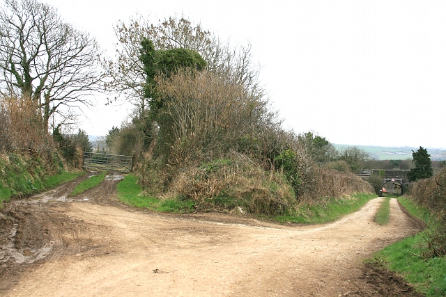
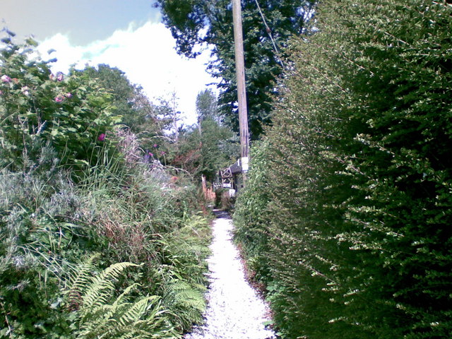
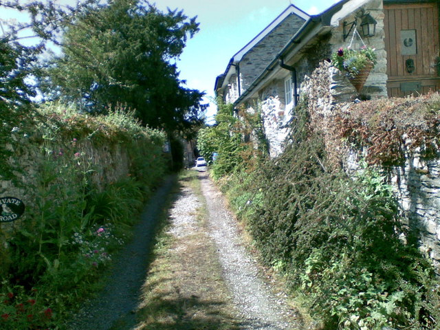
Warleigh Marsh Images

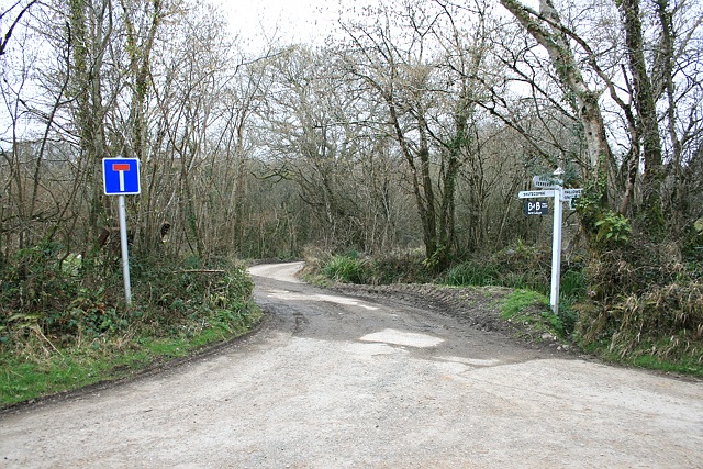
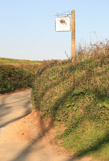
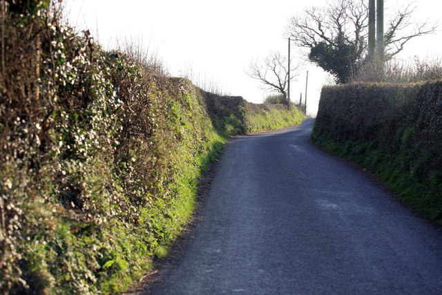
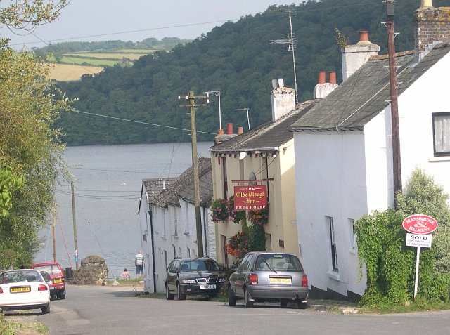
Images are sourced within 2km of 50.441639/-4.1623433 or Grid Reference SX4662. Thanks to Geograph Open Source API. All images are credited.

Turning to Shutecombe off Hensbury Lane Minor public road to Shutecombe (ahead), while Hensbury Lane continues (right) above the estuary.  In the C19, the fields above Hensbury Lane and the road to Shutecombe were planted as orchards, some of which survived into the post-war period.
Turning to Shutecombe off Hensbury Lane
Minor public road to Shutecombe (ahead), while Hensbury Lane continues (right) above the estuary. In the C19, the fields above Hensbury Lane and the road to Shutecombe were planted as orchards, some of which survived into the post-war period.
Bere Ferrers: the quay From Hensbury Lane above the foreshore, Riverside dwellings centre. Seen here in brighter weather in July: <a href="https://www.geograph.org.uk/photo/1958368">SX4663 : Bere Ferrers: towards the old quay</a>.
Bere Ferrers: the quay
From Hensbury Lane above the foreshore, Riverside dwellings centre. Seen here in brighter weather in July: SX4663 : Bere Ferrers: towards the old quay.
Public convenience, Silver Street This small block appears to be a public convenience (and is marked as such on the OS map), although, tucked down an alleyway known as Silver Street, to the side of the Olde Plough, one might mistake it for the pub toilets. A streetmap helpfully illuminates the block.
Public convenience, Silver Street
This small block appears to be a public convenience (and is marked as such on the OS map), although, tucked down an alleyway known as Silver Street, to the side of the Olde Plough, one might mistake it for the pub toilets. A streetmap helpfully illuminates the block.
Railway bridge south of Bere Ferrers station Bridge under railway on track leading (ahead) to Thorn Point, and (left, under bridge) to New Barn Farm.
Railway bridge south of Bere Ferrers station
Bridge under railway on track leading (ahead) to Thorn Point, and (left, under bridge) to New Barn Farm.
Towards Bere Ferrers station A farm track, accommodating Bere Ferrers public footpath 87, approaches the railway bridge leading to Station Road and the village.
Towards Bere Ferrers station
A farm track, accommodating Bere Ferrers public footpath 87, approaches the railway bridge leading to Station Road and the village.
Old New Lane Before the construction of the Plymouth, Devonport and South Western Junction Railway Company line through Bere Ferrers in 1890, New Lane headed straight for what is now Station Road along the track on the left. The railway necessitated a diversion to the right, to pass under the railway south of the railway station, before hooking round to the left to rejoin the old New Lane and continue on to the junction with Station Road.
Old New Lane
Before the construction of the Plymouth, Devonport and South Western Junction Railway Company line through Bere Ferrers in 1890, New Lane headed straight for what is now Station Road along the track on the left. The railway necessitated a diversion to the right, to pass under the railway south of the railway station, before hooking round to the left to rejoin the old New Lane and continue on to the junction with Station Road.
Footpath, Bere Ferrers
Track, Bere Ferrers
Track, Bere Ferrers
Seven Stars Lane and pub - Tamerton Foliot
Upstream of Tamerton Foliot Stream
Downstream Tamerton Foliot Stream
St Mary's Church - Tamerton Foliot
Tamerton Foliot stream Station Road Tamerton Foliot stream as it flows towards Tamerton Creek.
Tamerton Foliot stream Station Road
Tamerton Foliot stream as it flows towards Tamerton Creek.
Stream, Milford Lane Stream at Milford Lane, Tamerton Foliot.
Stream, Milford Lane
Stream at Milford Lane, Tamerton Foliot.
Porsham Farm Lane and sign Narrow Devon lane leading to Tamerton Foliot
Porsham Farm Lane and sign
Narrow Devon lane leading to Tamerton Foliot
Sopers Hill A great view along this Devon Lane nr Porsham farm. In the far distance the Gunnislake Railway crosses the Tavy on an iron bridge.
Sopers Hill
A great view along this Devon Lane nr Porsham farm. In the far distance the Gunnislake Railway crosses the Tavy on an iron bridge.
Roborough Lane Looking towards Tamerton Foliot.
Roborough Lane
Looking towards Tamerton Foliot.
City and Countryside A view across the valley , Southway part of Plymouth meets the countryside as seen from the Tamerton Road.
City and Countryside
A view across the valley , Southway part of Plymouth meets the countryside as seen from the Tamerton Road.
Show me another place!

Warleigh Marsh is located at Grid Ref: SX4662 (Lat: 50.441639, Lng: -4.1623433)

Administrative County: Devon

District: South Hams

Police Authority: Devon and Cornwall

What 3 Words

///remain.stand.sulk. Near Bere Alston, Devon

Related Wikis

Warleigh, Bickleigh

Warleigh is an historic estate within the parish of Bickleigh (formerly Tamerton Foliot) in Devon, about 6 miles from Plymouth. Warleigh House, the manor...

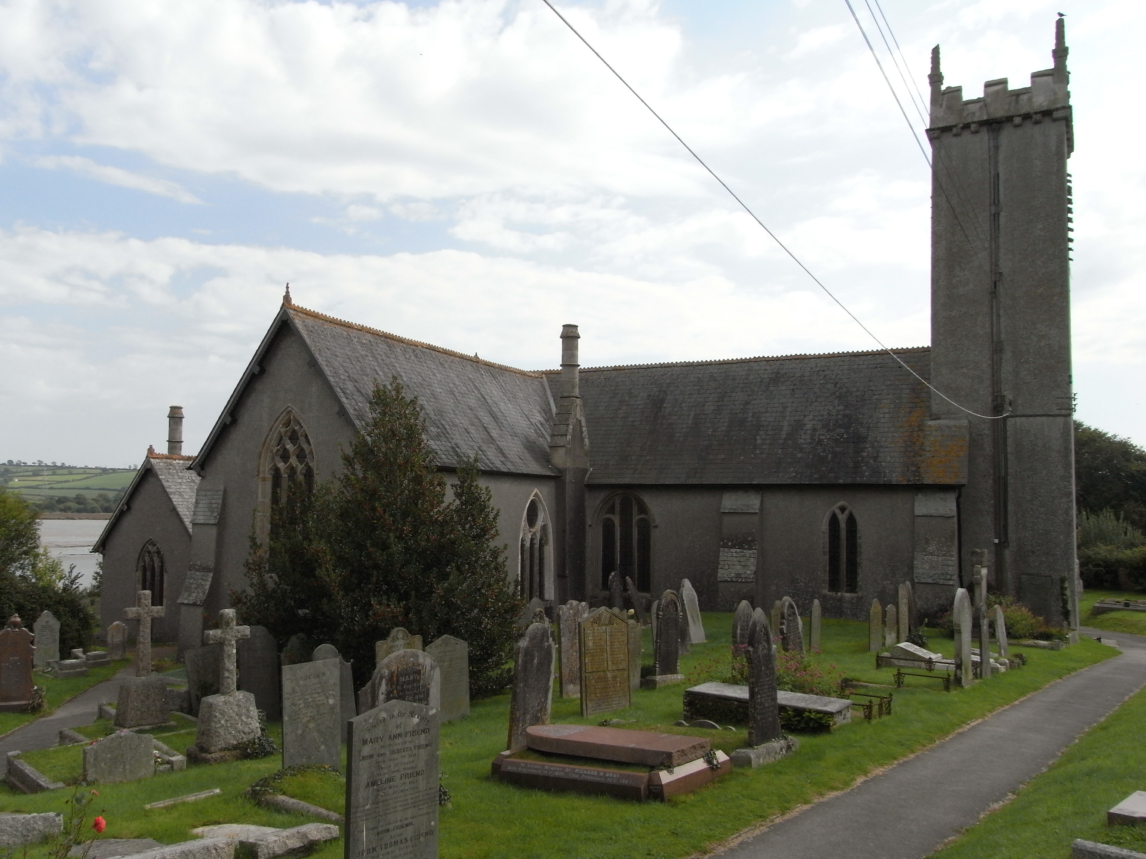
St Andrew's Church, Bere Ferrers

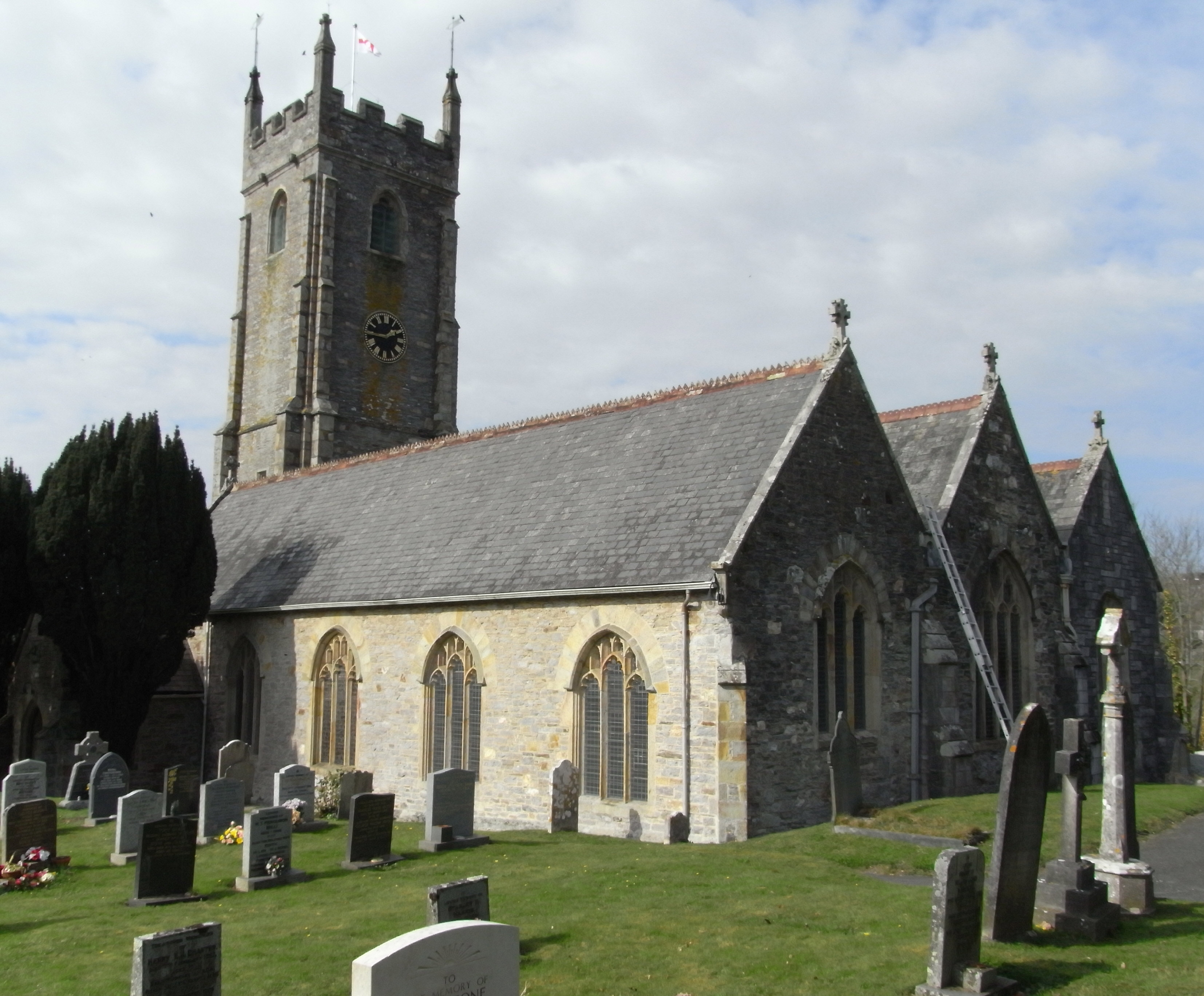
St Andrew's Church in Bere Ferrers, Devon, is a parish church in the Church of England The church contains the oldest stained-glass window in Devon (excluding...

Bere Ferrers

Bere Ferrers, sometimes called Beerferris, is a village and civil parish on the Bere peninsula in West Devon in the English county of Devon. It is located...

Tamerton Foliot

Tamerton Foliot is a village and former civil parish situated in the north of Plymouth, in the Plymouth district, in the ceremonial county of Devon, England...

Nearby Amenities

Located within 500m of 50.441639,-4.1623433
Created By: almien_coastlines
Source: PGS
Lat/Long: 50.445176/-4.165999
Created By: almien_coastlines
Source: PGS
Lat/Long: 50.4449202/-4.1656963
Created By: almien_coastlines
Source: PGS
Lat/Long: 50.4441167/-4.1651984
Created By: almien_coastlines
Source: PGS
Lat/Long: 50.44339/-4.165152
Source: PGS
Lat/Long: 50.4426945/-4.1653766
Source: PGS
Lat/Long: 50.4423772/-4.1655825
Source: PGS
Lat/Long: 50.4423097/-4.1657461
Source: PGS
Lat/Long: 50.4423043/-4.1665888
Source: PGS
Lat/Long: 50.4414862/-4.168284
Source: PGS
Lat/Long: 50.4413689/-4.1688285
Source: PGS
Lat/Long: 50.4411375/-4.1691476
Power: tower
Lat/Long: 50.4412922/-4.1688609
Power: tower
Lat/Long: 50.4406232/-4.1651049
Power: tower
Lat/Long: 50.4404655/-4.1601062
Power: tower
Lat/Long: 50.4402287/-4.155975
The data included in this document is from www.openstreetmap.org. The data is made available under ODbL.

Have you been to Warleigh Marsh?

Leave your review of Warleigh Marsh below (or comments, questions and feedback).