Lower Sandgore Plantation

Wood, Forest in Devon South Hams

England

Lower Sandgore Plantation

Footpath, Bere Ferrers
Footpath, Bere Ferrers Credit: Alex McGregor

Lower Sandgore Plantation is a picturesque woodland located in Devon, England. Covering an area of approximately 500 acres, it is a prominent feature of the local landscape. The plantation is situated near the village of Sandgore, offering easy access to visitors from both the surrounding towns and the wider region.

The woodland consists primarily of mature deciduous trees, including oak, beech, and ash, which provide a rich habitat for a diverse range of flora and fauna. Walking through the plantation, visitors can enjoy the calming ambiance created by the rustling leaves and the gentle sounds of birdsong. The forest floor is carpeted with a variety of wildflowers, adding vibrant splashes of color to the landscape.

Lower Sandgore Plantation offers several well-maintained footpaths, allowing visitors to explore its natural beauty at their own pace. These paths meander through the woodland, providing opportunities for both leisurely strolls and more challenging hikes. Additionally, there are several picnic areas and benches strategically placed throughout the plantation, providing visitors with the perfect spot to rest and take in the tranquil surroundings.

The woodland is also home to a wide range of wildlife, including deer, foxes, and a variety of bird species. Nature enthusiasts will appreciate the opportunity to observe these creatures in their natural habitat. Birdwatchers, in particular, will find Lower Sandgore Plantation a haven, as it attracts a diverse array of avian species throughout the year.

Overall, Lower Sandgore Plantation is a delightful natural retreat, offering visitors a chance to escape from the hustle and bustle of everyday life and immerse themselves in the beauty of nature.

If you have any feedback on the listing, please let us know in the comments section below.

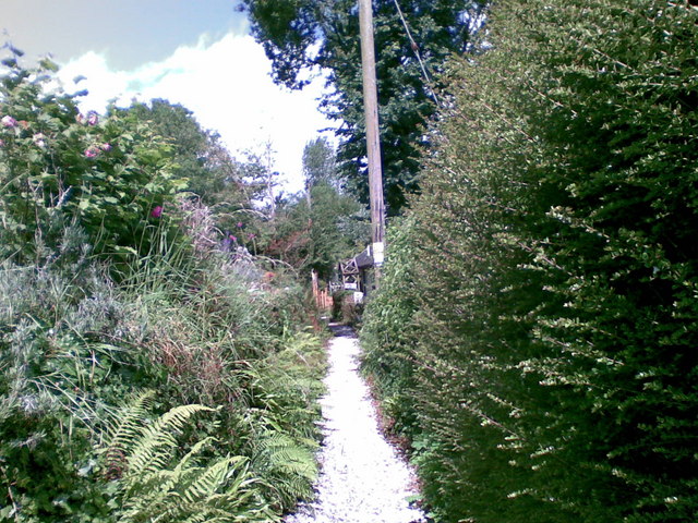
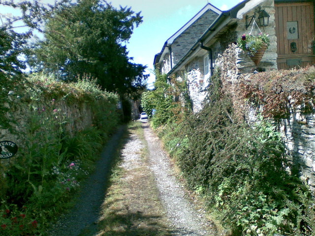
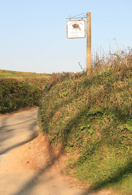
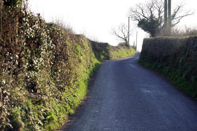
Lower Sandgore Plantation Images

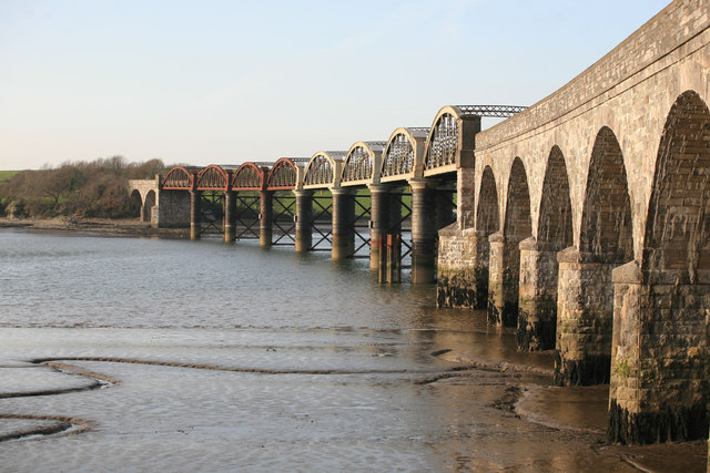
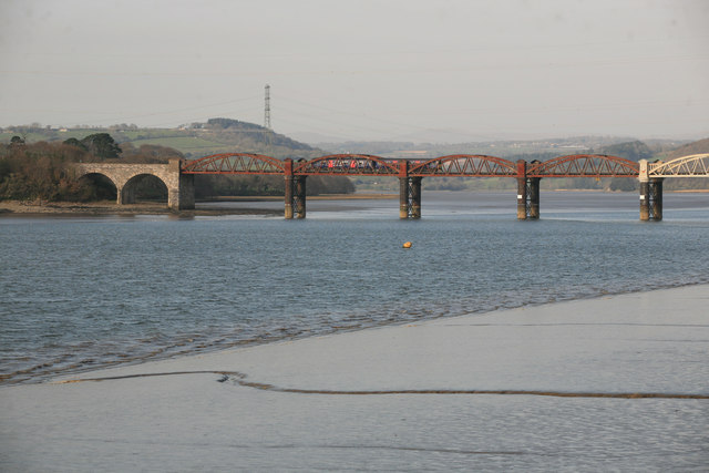
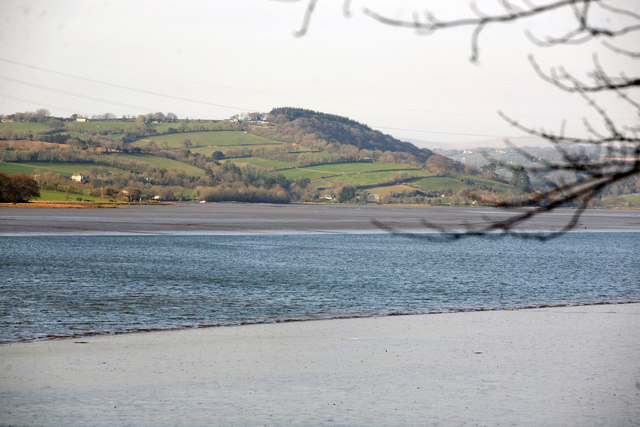
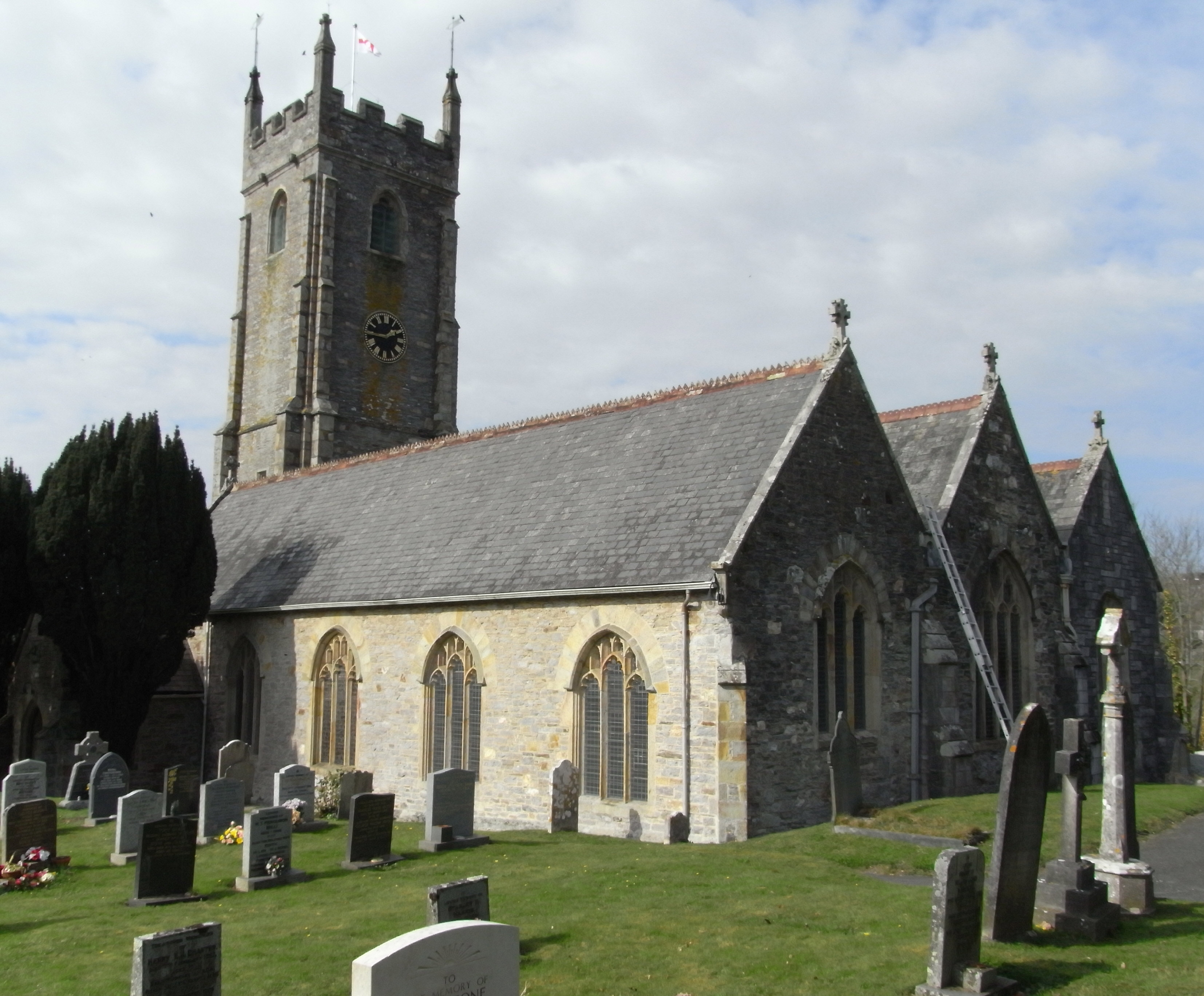
Images are sourced within 2km of 50.439576/-4.1625168 or Grid Reference SX4662. Thanks to Geograph Open Source API. All images are credited.

Footpath, Bere Ferrers
Track, Bere Ferrers
Track, Bere Ferrers
Seven Stars Lane and pub - Tamerton Foliot
Upstream of Tamerton Foliot Stream
Downstream Tamerton Foliot Stream
St Mary's Church - Tamerton Foliot
Tamerton Foliot stream Station Road Tamerton Foliot stream as it flows towards Tamerton Creek.
Tamerton Foliot stream Station Road
Tamerton Foliot stream as it flows towards Tamerton Creek.
Stream, Milford Lane Stream at Milford Lane, Tamerton Foliot.
Stream, Milford Lane
Stream at Milford Lane, Tamerton Foliot.
Porsham Farm Lane and sign Narrow Devon lane leading to Tamerton Foliot
Porsham Farm Lane and sign
Narrow Devon lane leading to Tamerton Foliot
Sopers Hill A great view along this Devon Lane nr Porsham farm. In the far distance the Gunnislake Railway crosses the Tavy on an iron bridge.
Sopers Hill
A great view along this Devon Lane nr Porsham farm. In the far distance the Gunnislake Railway crosses the Tavy on an iron bridge.
Roborough Lane Looking towards Tamerton Foliot.
Roborough Lane
Looking towards Tamerton Foliot.
City and Countryside A view across the valley , Southway part of Plymouth meets the countryside as seen from the Tamerton Road.
City and Countryside
A view across the valley , Southway part of Plymouth meets the countryside as seen from the Tamerton Road.
Crossing the Tavy Once the main LSWR railway line from Plymouth to Waterloo via Tavistock North and Crediton this is now the single line branch from Plymouth to Gunnislake. Crossing the river Tavy seen in the evening light at low tide.
Crossing the Tavy
Once the main LSWR railway line from Plymouth to Waterloo via Tavistock North and Crediton this is now the single line branch from Plymouth to Gunnislake. Crossing the river Tavy seen in the evening light at low tide.
Tavy viaduct An evening view of the river Tavy from Warleigh point . The 1729 Gunnislake to Plymouth train is on the viaduct.
Tavy viaduct
An evening view of the river Tavy from Warleigh point . The 1729 Gunnislake to Plymouth train is on the viaduct.
Looking up the River Tavy Taken from Warleigh woods by the Railway viaduct.
Looking up the River Tavy
Taken from Warleigh woods by the Railway viaduct.
Waterfall,  Tamerton Foliot stream
Waterfall, Tamerton Foliot stream
Tamerton Foliot Stream Culvert Tamerton Foliot stream culvert
Tamerton Foliot Stream Culvert
Tamerton Foliot stream culvert
Tamerton Foliot Stream Tamerton Foliot stream flowing through Wadlands Meadow
Tamerton Foliot Stream
Tamerton Foliot stream flowing through Wadlands Meadow
Show me another place!

Lower Sandgore Plantation is located at Grid Ref: SX4662 (Lat: 50.439576, Lng: -4.1625168)

Administrative County: Devon

District: South Hams

Police Authority: Devon and Cornwall

What 3 Words

///tonic.pays.cheeks. Near Bere Alston, Devon

Related Wikis

Warleigh, Bickleigh

Warleigh is an historic estate within the parish of Bickleigh (formerly Tamerton Foliot) in Devon, about 6 miles from Plymouth. Warleigh House, the manor...

Tamerton Foliot

Tamerton Foliot is a village and former civil parish situated in the north of Plymouth, in the Plymouth district, in the ceremonial county of Devon, England...

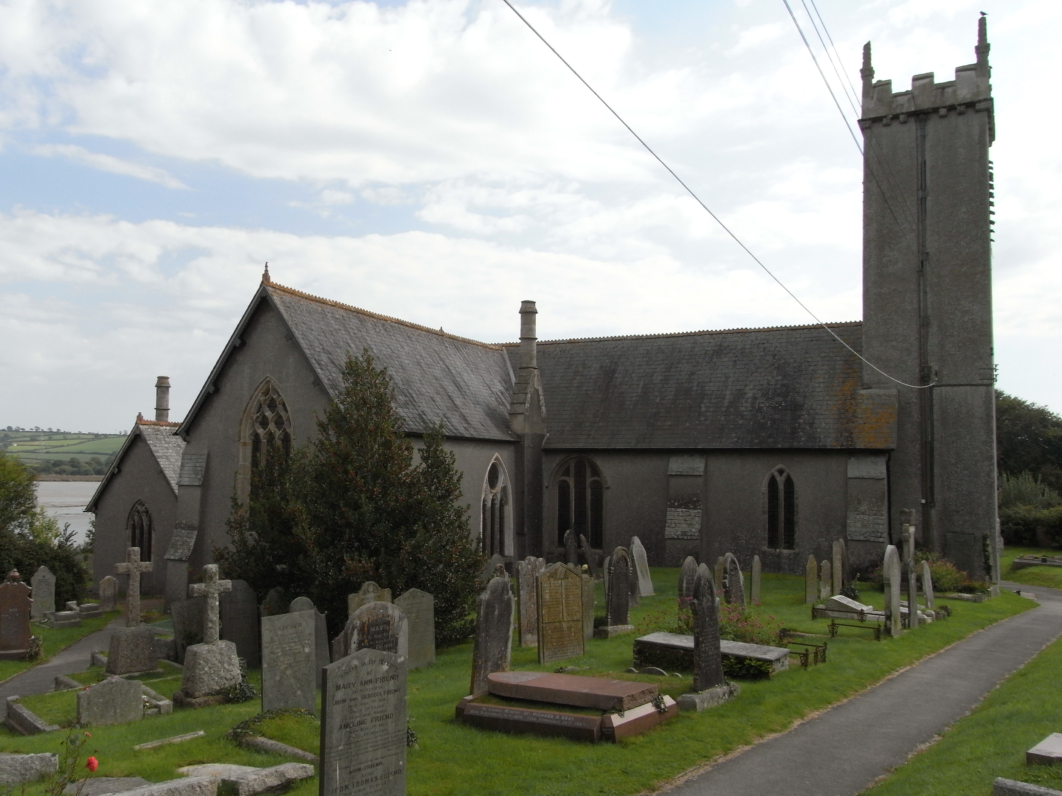
St Andrew's Church, Bere Ferrers

St Andrew's Church in Bere Ferrers, Devon, is a parish church in the Church of England The church contains the oldest stained-glass window in Devon (excluding...
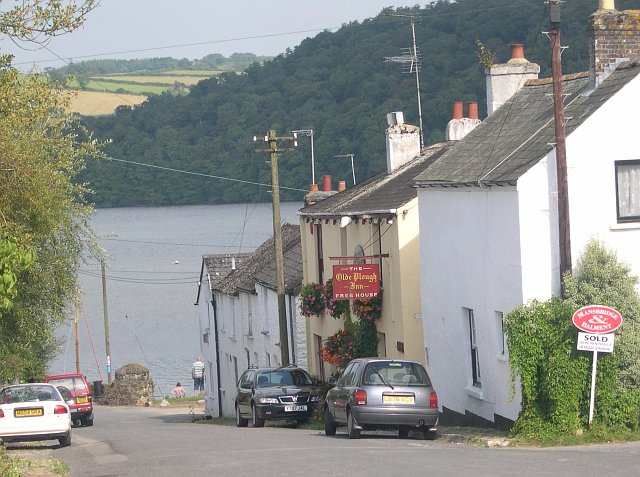
Bere Ferrers

Bere Ferrers, sometimes called Beerferris, is a village and civil parish on the Bere peninsula in West Devon in the English county of Devon. It is located...

Nearby Amenities

Located within 500m of 50.439576,-4.1625168
Created By: almien_coastlines
Source: PGS
Lat/Long: 50.44339/-4.165152
Source: PGS
Lat/Long: 50.4426945/-4.1653766
Source: PGS
Lat/Long: 50.4423772/-4.1655825
Source: PGS
Lat/Long: 50.4423097/-4.1657461
Source: PGS
Lat/Long: 50.4423043/-4.1665888
Source: PGS
Lat/Long: 50.4414862/-4.168284
Source: PGS
Lat/Long: 50.4413689/-4.1688285
Power: tower
Lat/Long: 50.4412922/-4.1688609
Power: tower
Lat/Long: 50.4406232/-4.1651049
Power: tower
Lat/Long: 50.4404655/-4.1601062
Power: tower
Lat/Long: 50.4402287/-4.155975
The data included in this document is from www.openstreetmap.org. The data is made available under ODbL.

Have you been to Lower Sandgore Plantation?

Leave your review of Lower Sandgore Plantation below (or comments, questions and feedback).