Shellhook
Coastal Marsh, Saltings in Devon North Devon
England
Shellhook
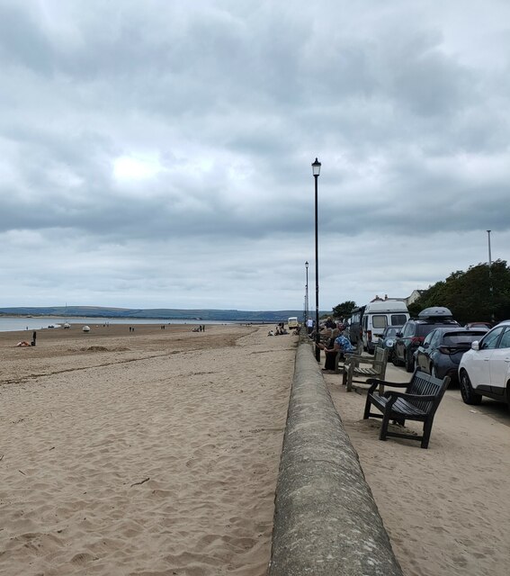
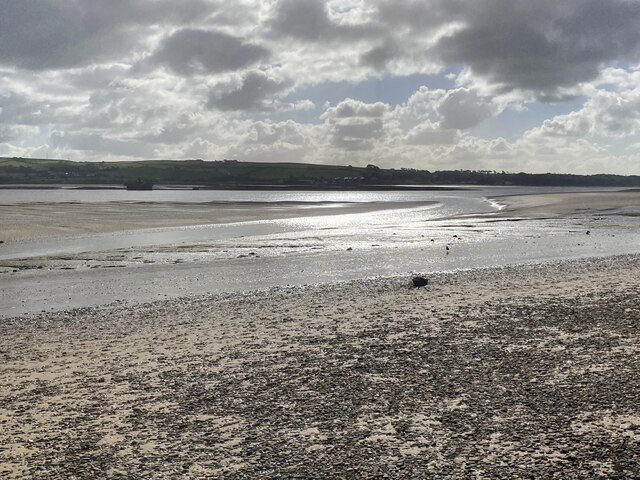
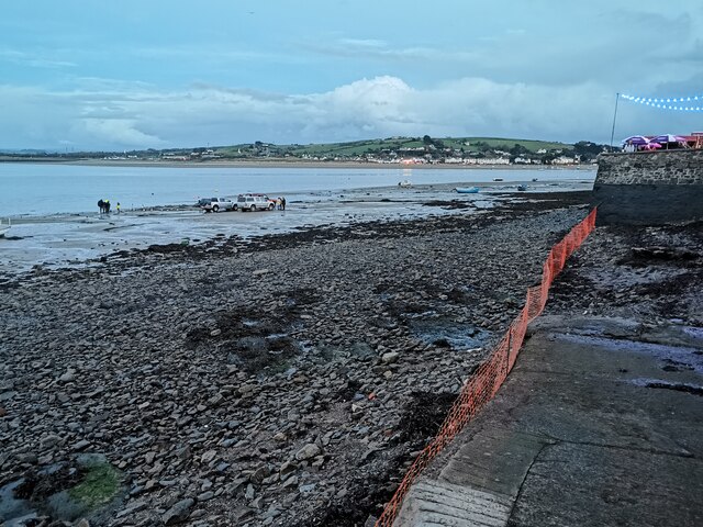
Shellhook, Devon is a picturesque coastal marsh located in the southwestern region of England. Situated along the shores of the English Channel, it is renowned for its unique ecosystem and stunning natural beauty.
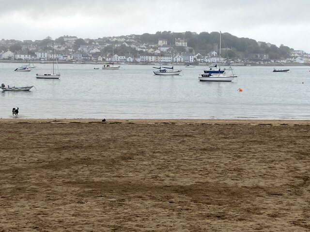
The marshland is characterized by its vast expanse of salt marshes and saltings, which are a result of the intertidal zone where the land meets the sea. The area is subject to daily tidal fluctuations, with the marshes being covered by seawater during high tide and exposed during low tide. This creates a dynamic environment that supports a diverse array of plant and animal species.
The salt marshes of Shellhook are home to a variety of vegetation specially adapted to the harsh saline conditions, such as glasswort, sea lavender, and samphire. These plants provide vital habitats and food sources for a range of bird species, including curlews, oystercatchers, and herons, which can be spotted throughout the year.
The marshes also serve as an important breeding ground and nursery for various marine organisms, such as crabs, shrimps, and small fish. The intricate network of channels and creeks that crisscross the marshland provides shelter and feeding grounds for these creatures, making Shellhook a thriving ecosystem.
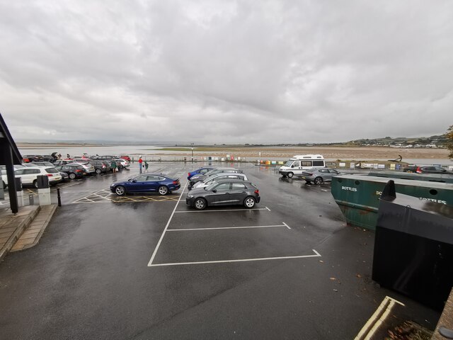
In addition to its ecological significance, Shellhook offers visitors a tranquil and scenic retreat. The marshes provide excellent opportunities for birdwatching, nature walks, and photography, allowing visitors to immerse themselves in the beauty of this unique coastal habitat. The surrounding area also features stunning coastal cliffs and sandy beaches, further enhancing the natural allure of Shellhook, Devon.
If you have any feedback on the listing, please let us know in the comments section below.
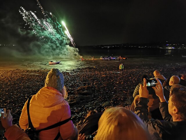
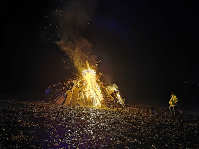
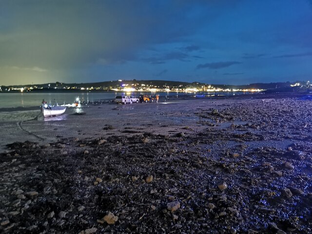
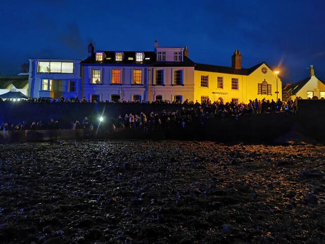
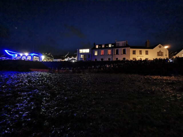
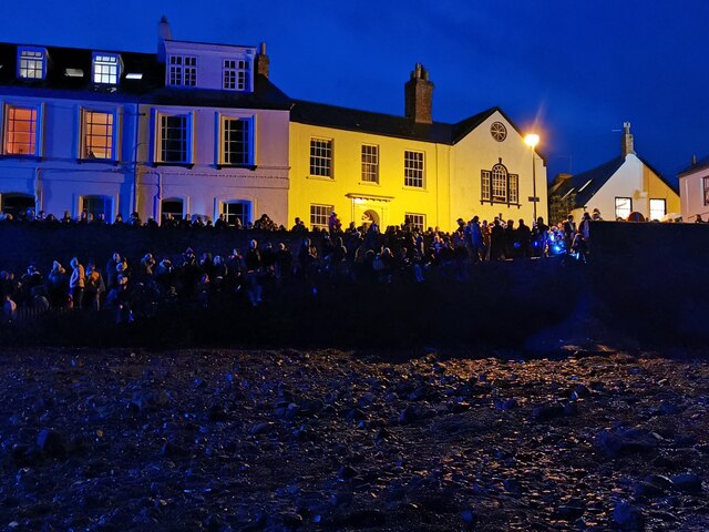
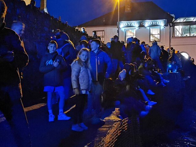
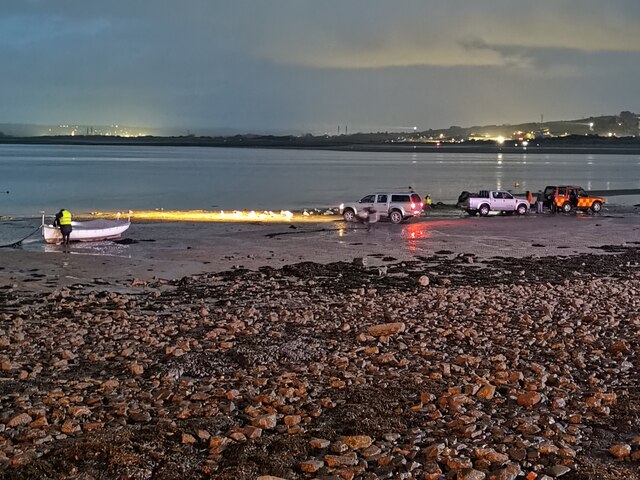
Shellhook Images
Images are sourced within 2km of 51.060756/-4.1934985 or Grid Reference SS4631. Thanks to Geograph Open Source API. All images are credited.

Shellhook is located at Grid Ref: SS4631 (Lat: 51.060756, Lng: -4.1934985)
Administrative County: Devon
District: North Devon
Police Authority: Devon and Cornwall
What 3 Words
///obliging.broker.corn. Near Appledore, Devon
Nearby Locations
Related Wikis

River Torridge
The River Torridge is a river in Devon in England; it rises near Meddon. The river describes a long loop through Devon farming country where its tributaries...

Appledore railway station (Devon)
Appledore railway station was a railway station in north Devon, situated close to the village of Appledore, a community lying on the peninsula formed by...

Appledore Lifeboat Station
Appledore Lifeboat Station is the base for Royal National Lifeboat Institution (RNLI) search and rescue operations at Appledore, Devon in the United Kingdom...
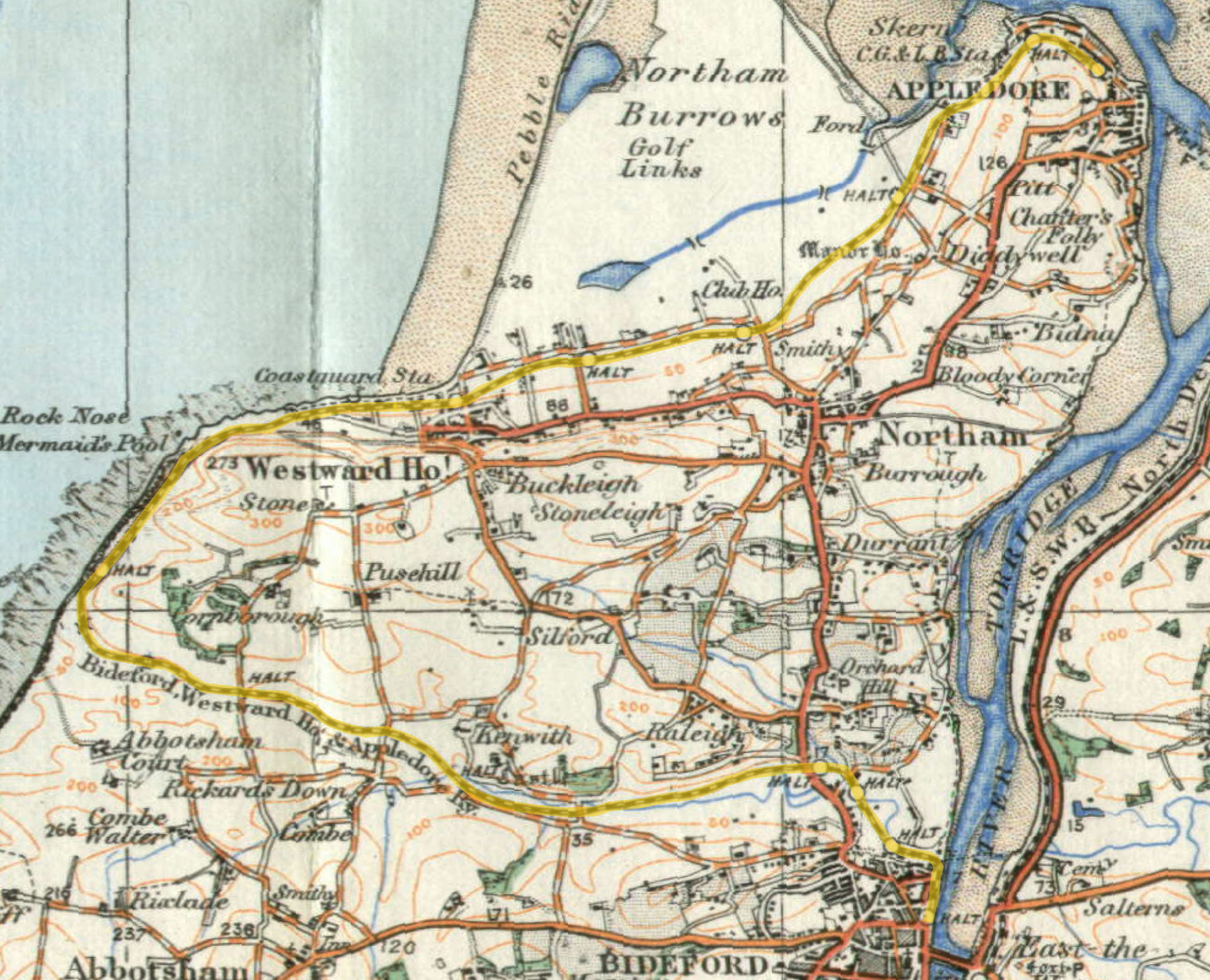
Lovers' Lane Halt railway station
Lovers' Lane Halt railway station was a minor railway station or halt in north Devon close to the town of Appledore, a community lying on the peninsula...
Nearby Amenities
Located within 500m of 51.060756,-4.1934985Have you been to Shellhook?
Leave your review of Shellhook below (or comments, questions and feedback).