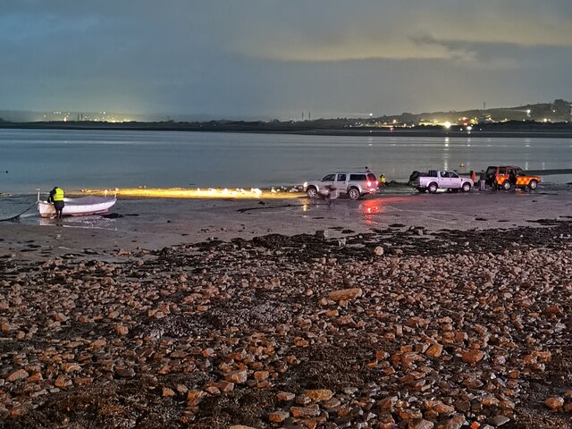
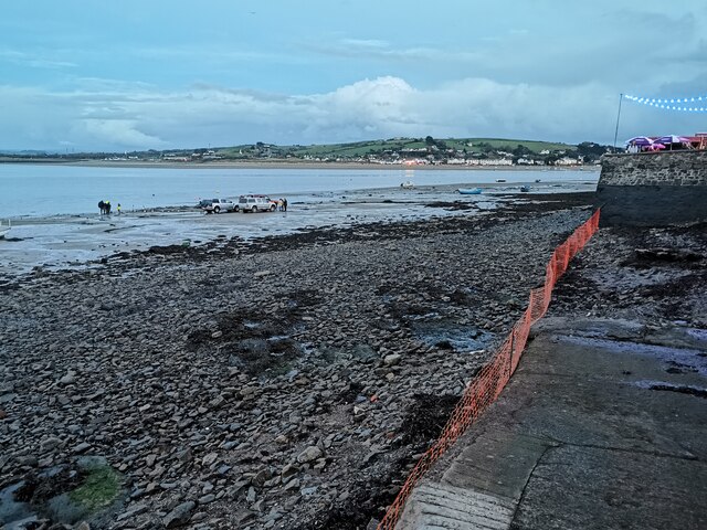
Appledore Pool
Sea, Estuary, Creek in Devon Torridge
England
Appledore Pool
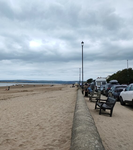
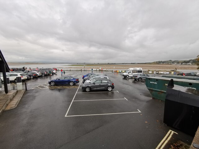
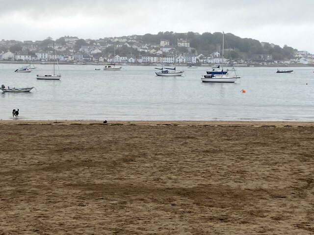
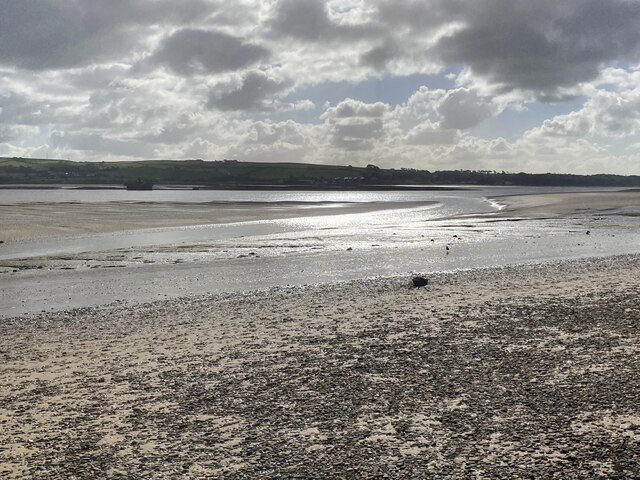
Appledore Pool is a picturesque body of water located in the village of Appledore, Devon, England. It is situated at the confluence of the rivers Torridge and Taw, where they meet the Bristol Channel. The pool is primarily made up of an estuary and creek system, offering a unique and diverse habitat for a wide range of flora and fauna.
With its stunning natural beauty, Appledore Pool attracts both locals and tourists alike. The surrounding landscape features rolling hills, quaint fishing cottages, and charming narrow streets, adding to its allure. The pool itself is a haven for wildlife enthusiasts and birdwatchers, as it provides an important feeding and breeding ground for various bird species, including herons, waders, and waterfowl.
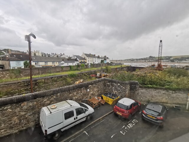
Aside from its natural beauty, Appledore Pool also holds historical significance. The village of Appledore has a rich maritime heritage, and the pool was once a bustling hub for shipbuilding and fishing. Today, remnants of the shipbuilding industry can still be seen, with old shipyards and slipways lining the water's edge.
Visitors to Appledore Pool can enjoy a range of activities. Boating and sailing are popular pastimes, with the calm waters of the pool providing an ideal setting for leisurely cruises and water sports. Fishing is also a common activity, with the estuary offering opportunities to catch a variety of fish, including bass, mullet, and flounder.
Overall, Appledore Pool in Devon is a captivating destination, offering a unique blend of natural beauty, historical significance, and recreational opportunities. Its tranquil waters and scenic surroundings make it a must-visit location for those seeking a peaceful retreat or an adventure on the water.
If you have any feedback on the listing, please let us know in the comments section below.
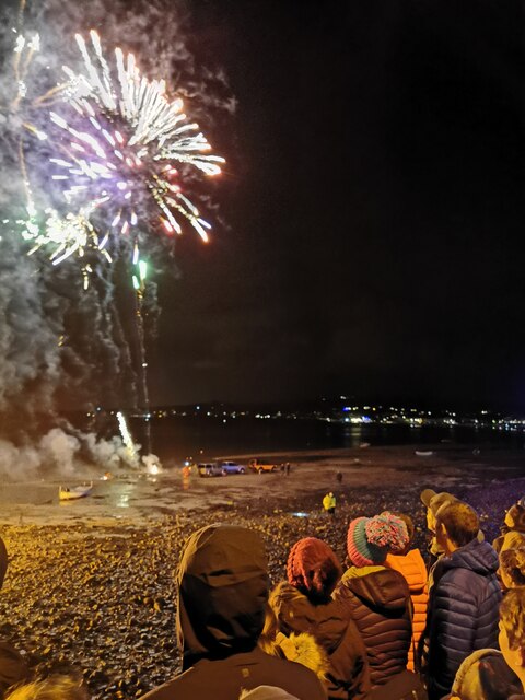
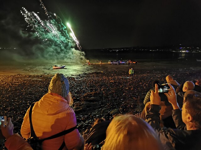
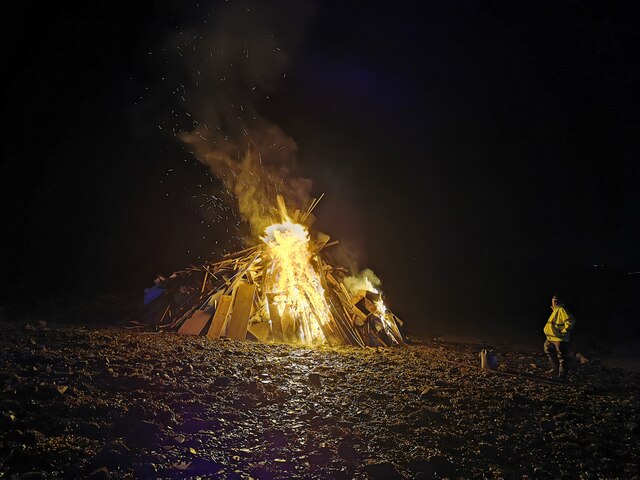
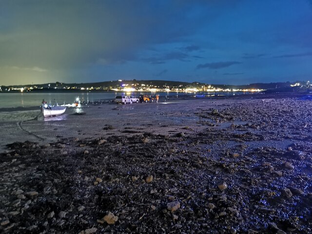
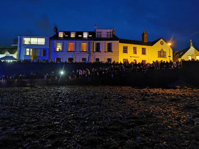
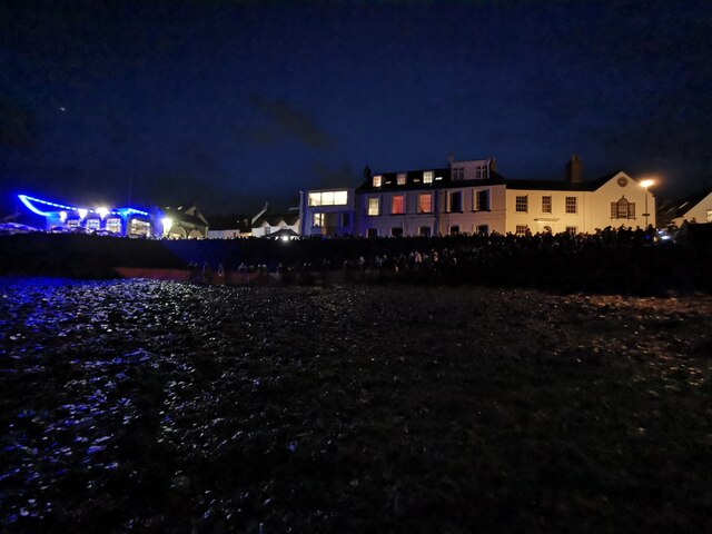
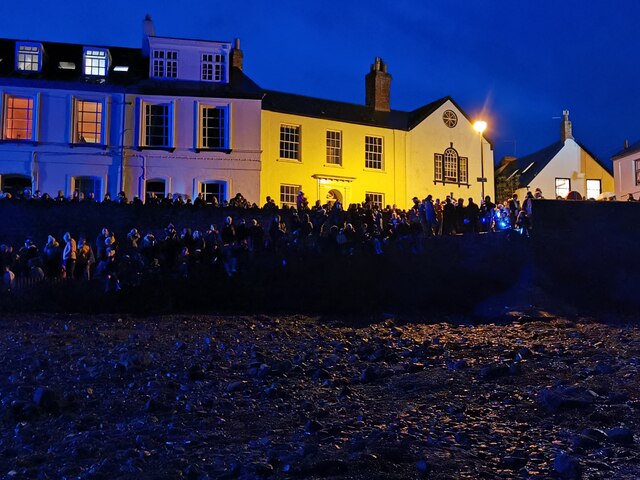
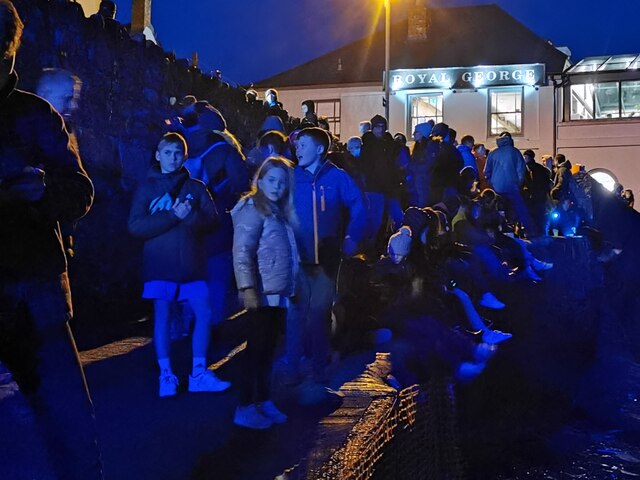
Appledore Pool Images
Images are sourced within 2km of 51.058987/-4.1947564 or Grid Reference SS4631. Thanks to Geograph Open Source API. All images are credited.
Appledore Pool is located at Grid Ref: SS4631 (Lat: 51.058987, Lng: -4.1947564)
Administrative County: Devon
District: Torridge
Police Authority: Devon and Cornwall
What 3 Words
///acrobats.crimson.misted. Near Appledore, Devon
Nearby Locations
Related Wikis

River Torridge
The River Torridge is a river in Devon in England; it rises near Meddon. The river describes a long loop through Devon farming country where its tributaries...

Appledore railway station (Devon)
Appledore railway station was a railway station in north Devon, situated close to the village of Appledore, a community lying on the peninsula formed by...

Appledore Lifeboat Station
Appledore Lifeboat Station is the base for Royal National Lifeboat Institution (RNLI) search and rescue operations at Appledore, Devon in the United Kingdom...
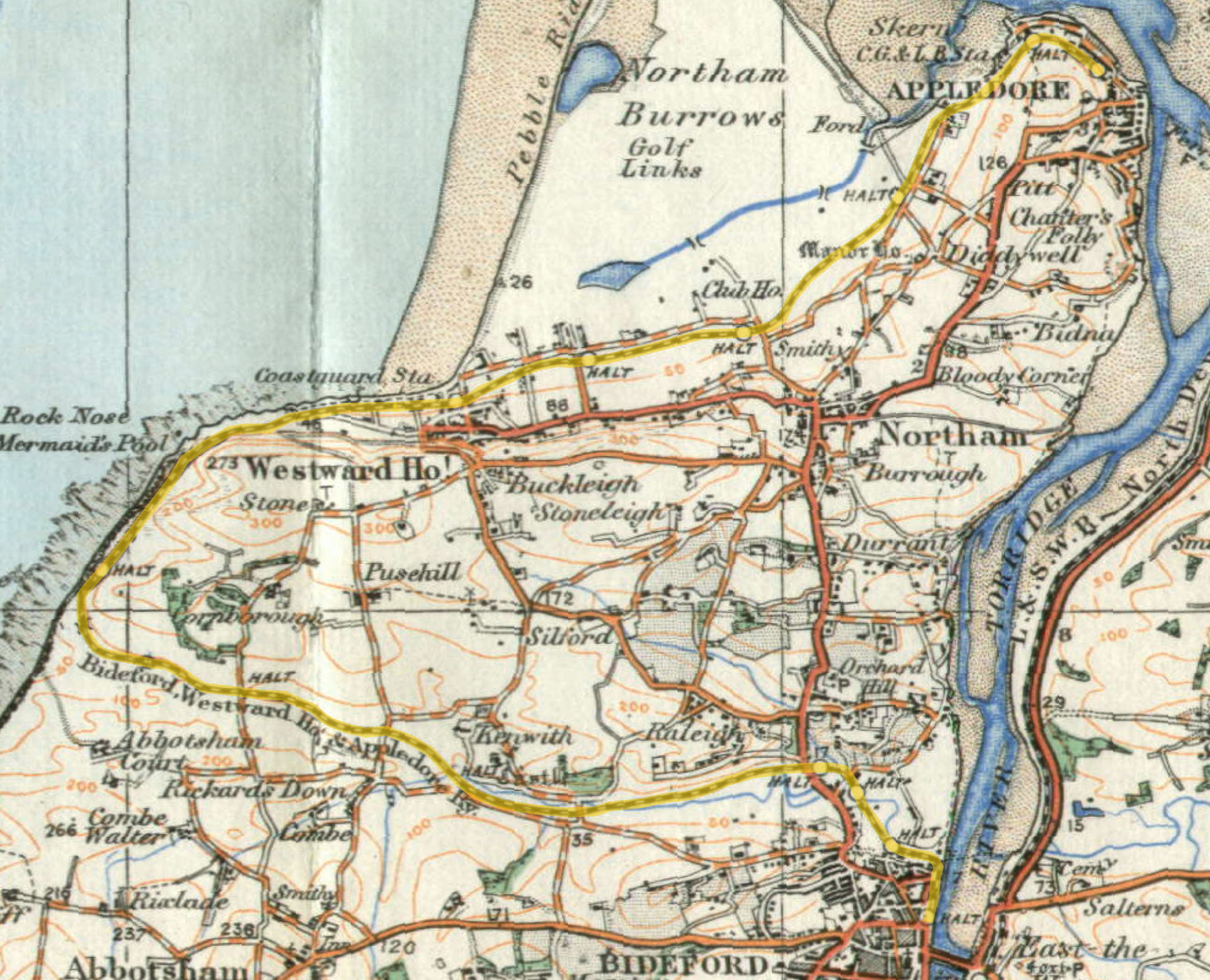
Lovers' Lane Halt railway station
Lovers' Lane Halt railway station was a minor railway station or halt in north Devon close to the town of Appledore, a community lying on the peninsula...

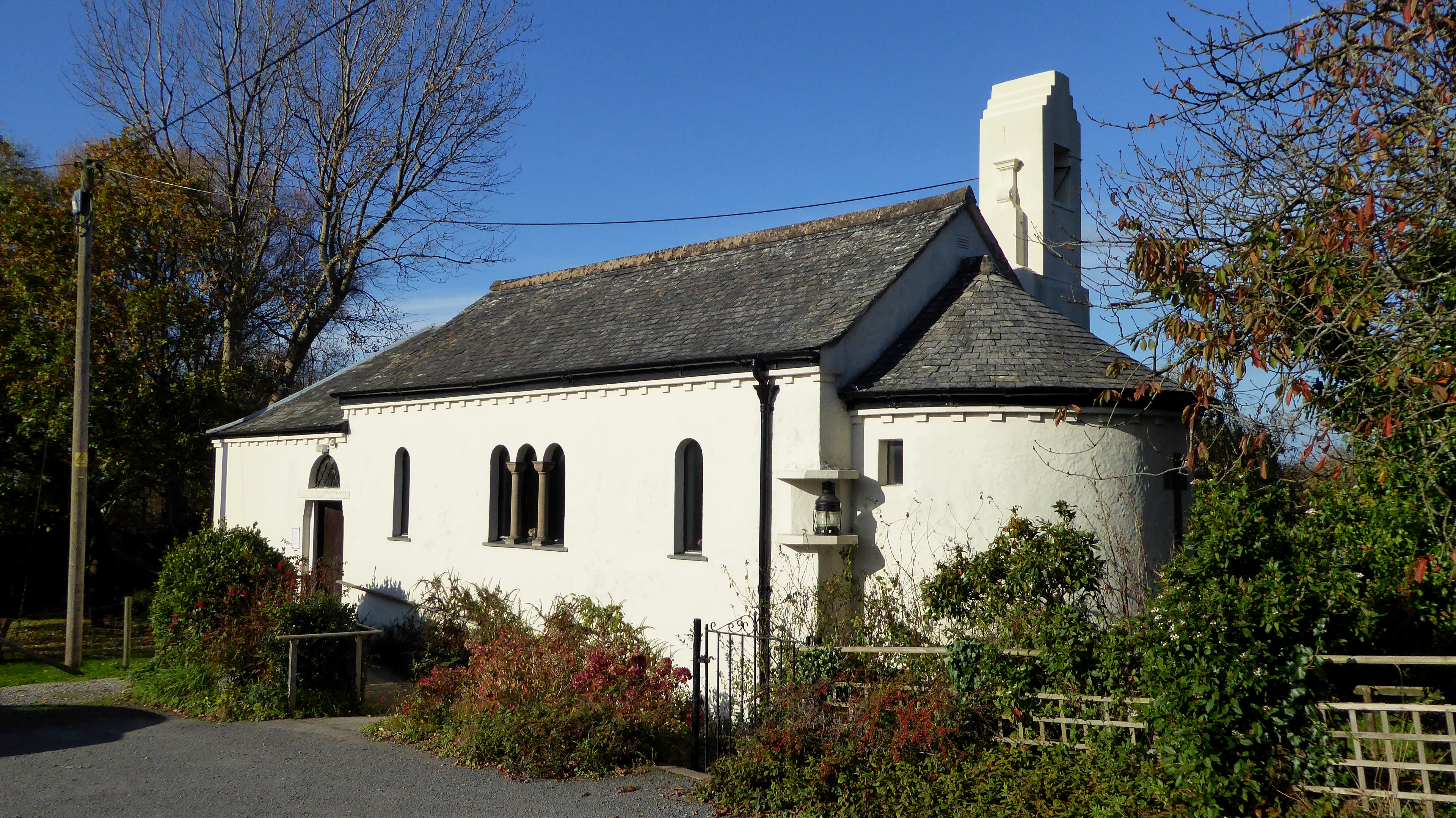
St Mary's Church, Appledore
St Mary's Church is the parish church of Appledore. It sits on the Quay overlooking the River Torridge. The foundation stone of the church was laid in...

Appledore, Torridge
Appledore is a village at the mouth of the River Torridge, about 6 miles (10 km) west of Barnstaple and about 3 miles (5 km) north of Bideford in the county...
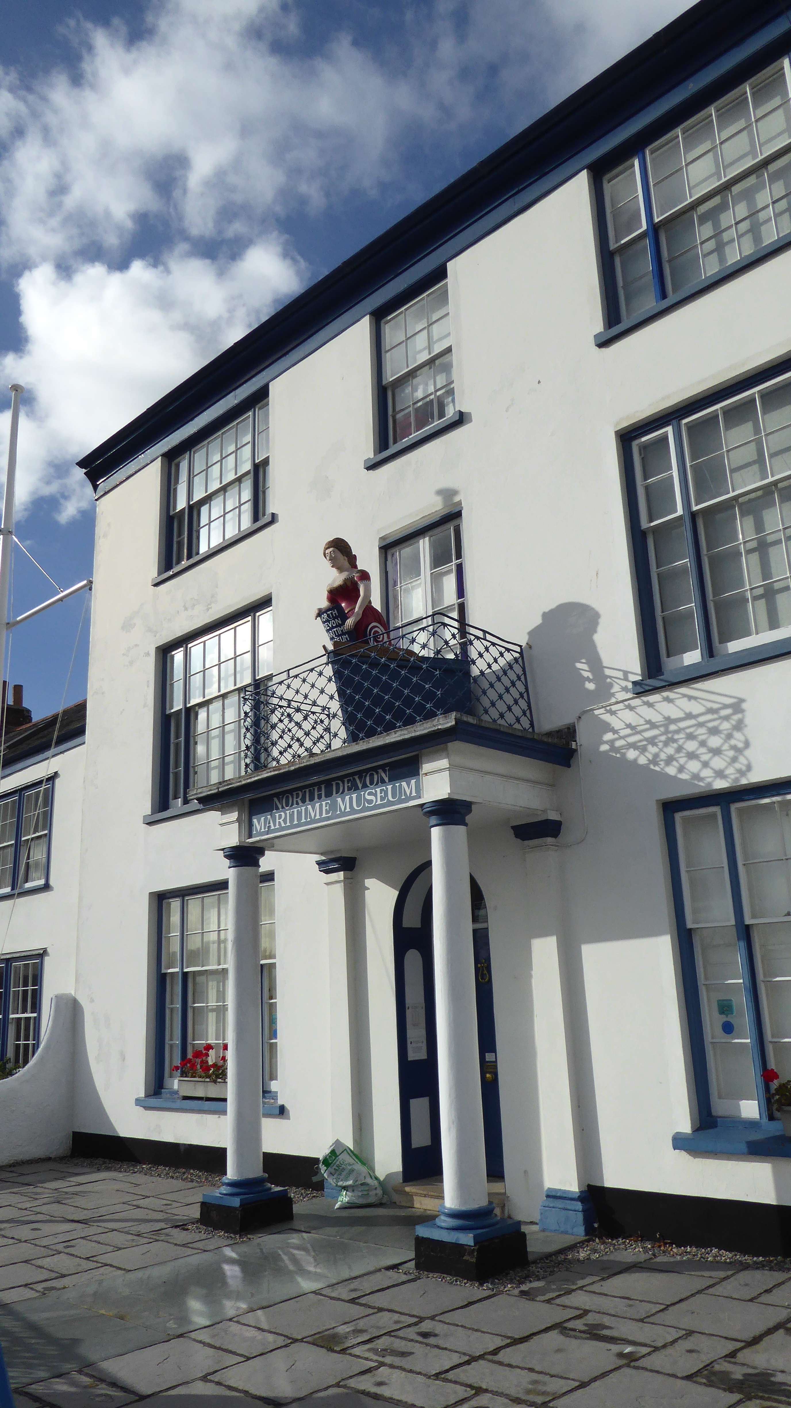
North Devon Maritime Museum
The North Devon Maritime Museum is a museum situated in the estuary town of Appledore, Devon, England. Housed in Odun House, a Georgian Grade II listed...
All Saints Chapel, Instow
All Saints Chapel is a combined Church of England chapel and community centre in Instow, Devon, England. == History == All Saints was designed by the local...
Nearby Amenities
Located within 500m of 51.058987,-4.1947564Have you been to Appledore Pool?
Leave your review of Appledore Pool below (or comments, questions and feedback).