Bennett's Mouth
Sea, Estuary, Creek in Devon North Devon
England
Bennett's Mouth
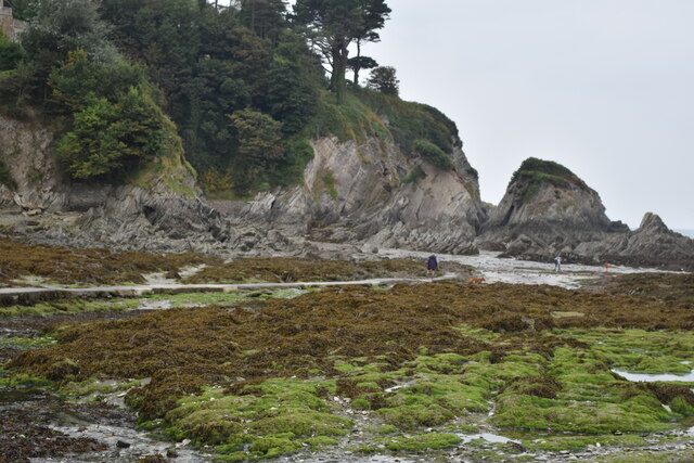
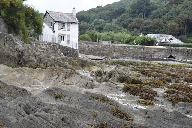
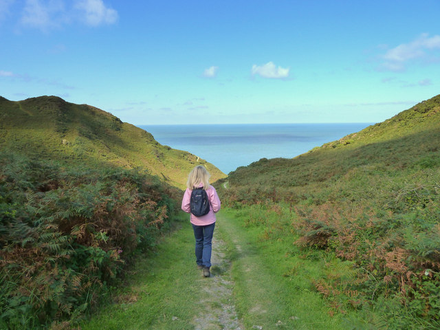
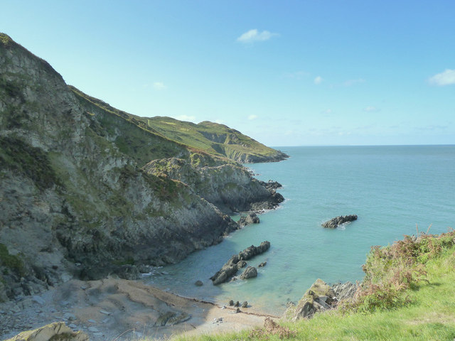
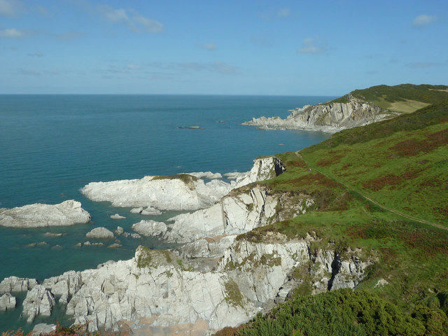
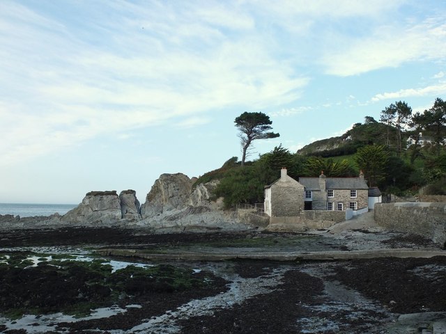
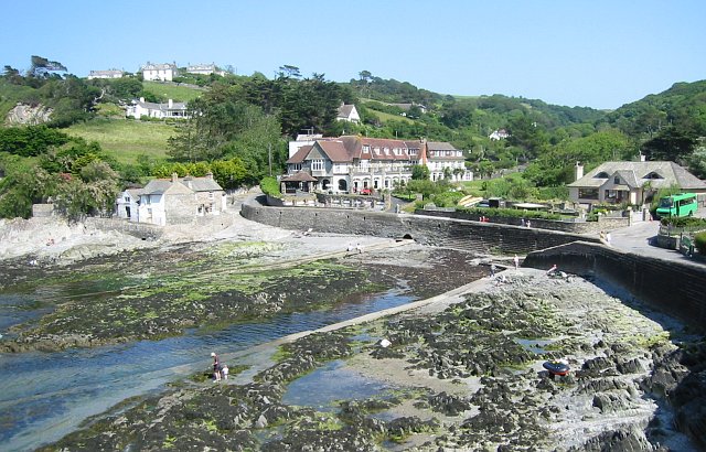
Bennett's Mouth is a picturesque coastal feature located in Devon, England. Nestled between the towns of Salcombe and Kingsbridge, it is a unique combination of a sea, estuary, and creek. This stunning natural formation offers visitors a diverse range of landscapes and recreational opportunities.
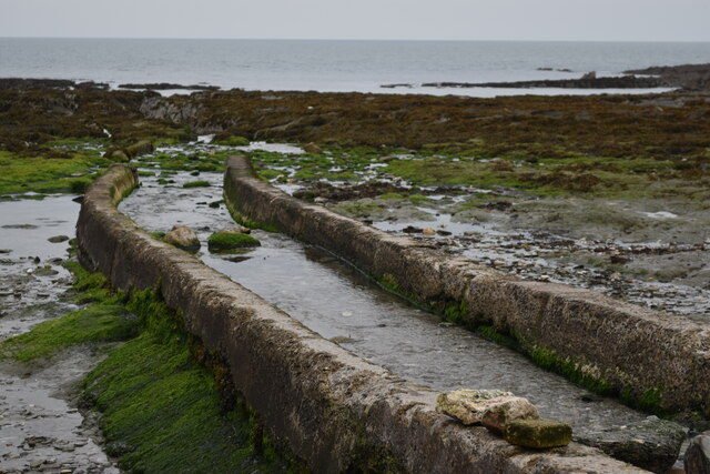
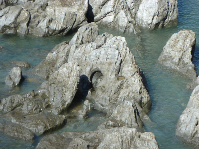
At first glance, Bennett's Mouth appears to be a typical sandy beach with crystal clear waters, perfect for sunbathing and swimming. However, as the tide recedes, a hidden estuary is revealed, providing a haven for various marine species, including crabs, fish, and seabirds. This estuary is fed by a small creek, which winds its way through the surrounding marshlands, adding to the area's charm.
The mouth of Bennett's Creek is a popular spot for water activities, such as kayaking and paddleboarding. The calm waters and gentle currents make it an ideal location for beginners and nature enthusiasts. Exploring the creek reveals a rich ecosystem, with vibrant vegetation and an abundance of wildlife, including herons and otters.
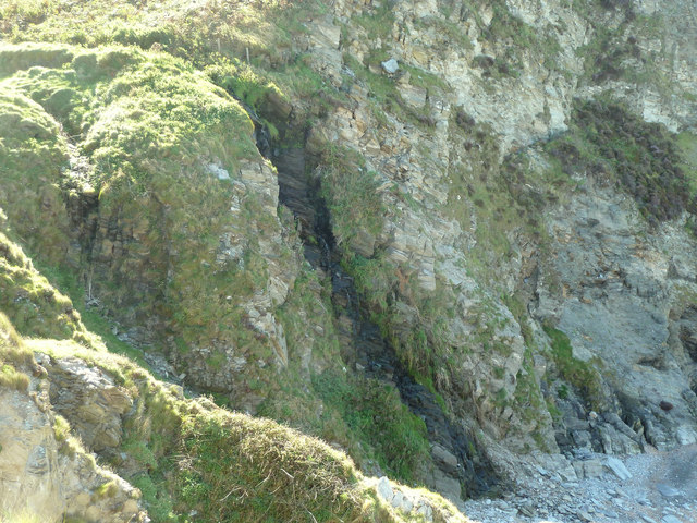
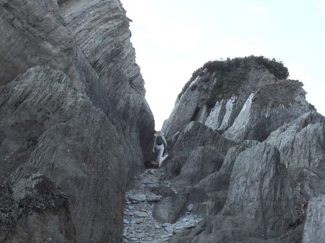
The surrounding cliffs and rolling hills offer panoramic views of the area, making it a favorite spot for hikers and photographers. The coastal path that runs alongside Bennett's Mouth provides stunning vistas of the sea, estuary, and creek, allowing visitors to fully appreciate the natural beauty of the area.
Bennett's Mouth is a hidden gem on the Devon coastline, offering a diverse and enchanting landscape that caters to all. Whether one seeks relaxation on the beach, wildlife encounters in the estuary, or adventure on the creek, this coastal feature truly has something for everyone.
If you have any feedback on the listing, please let us know in the comments section below.
Bennett's Mouth Images
Images are sourced within 2km of 51.199381/-4.1930078 or Grid Reference SS4646. Thanks to Geograph Open Source API. All images are credited.
Bennett's Mouth is located at Grid Ref: SS4646 (Lat: 51.199381, Lng: -4.1930078)
Administrative County: Devon
District: North Devon
Police Authority: Devon and Cornwall
What 3 Words
///against.lengthen.lakes. Near Ilfracombe, Devon
Nearby Locations
Related Wikis

Bull Point Lighthouse
Bull Point Lighthouse is a lighthouse on Bull Point, about one mile (1.6 km) north of the village of Mortehoe, on the northern coast of Devon, England...

Morte Point
Morte Point is a peninsula on the north west coast of Devon, England, belonging to the National Trust. To the east is the village of Mortehoe and to the...
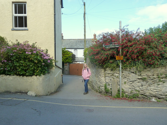
Mortehoe
Mortehoe () is a village and former manor on the north coast of Devon, England. It lies 10 miles north-west of Barnstaple, near Woolacombe and Lee Bay...
Lee Bay
Lee Bay or just Lee is a small village on the North Devon coast near Woolacombe. Lee is situated on the rugged and inhospitable stretch of coast between...

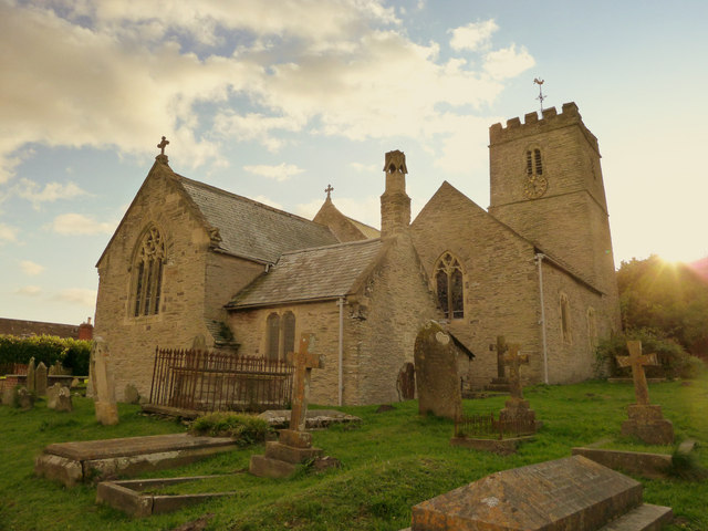
St Mary's Church, Mortehoe
St Mary's Church, Mortehoe, is a Grade I listed Church of England church in Mortehoe, Devon, England, whose origins date back to the Norman Conquest. It...
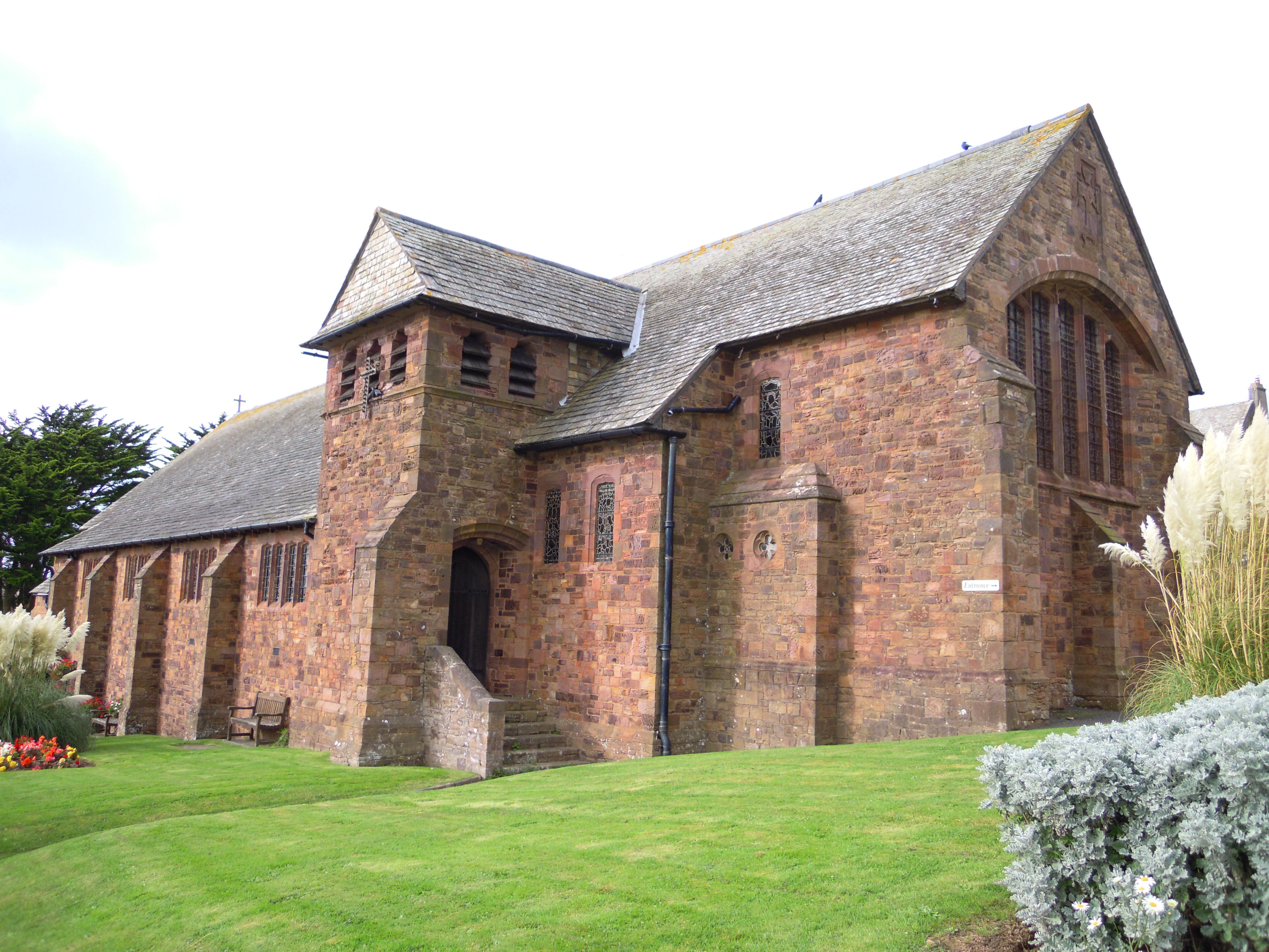
Church of St Sabinus, Woolacombe
The Church of St Sabinus is the Church of England parish church for in Woolacombe, Devon. It is the only church in the United Kingdom that is dedicated...
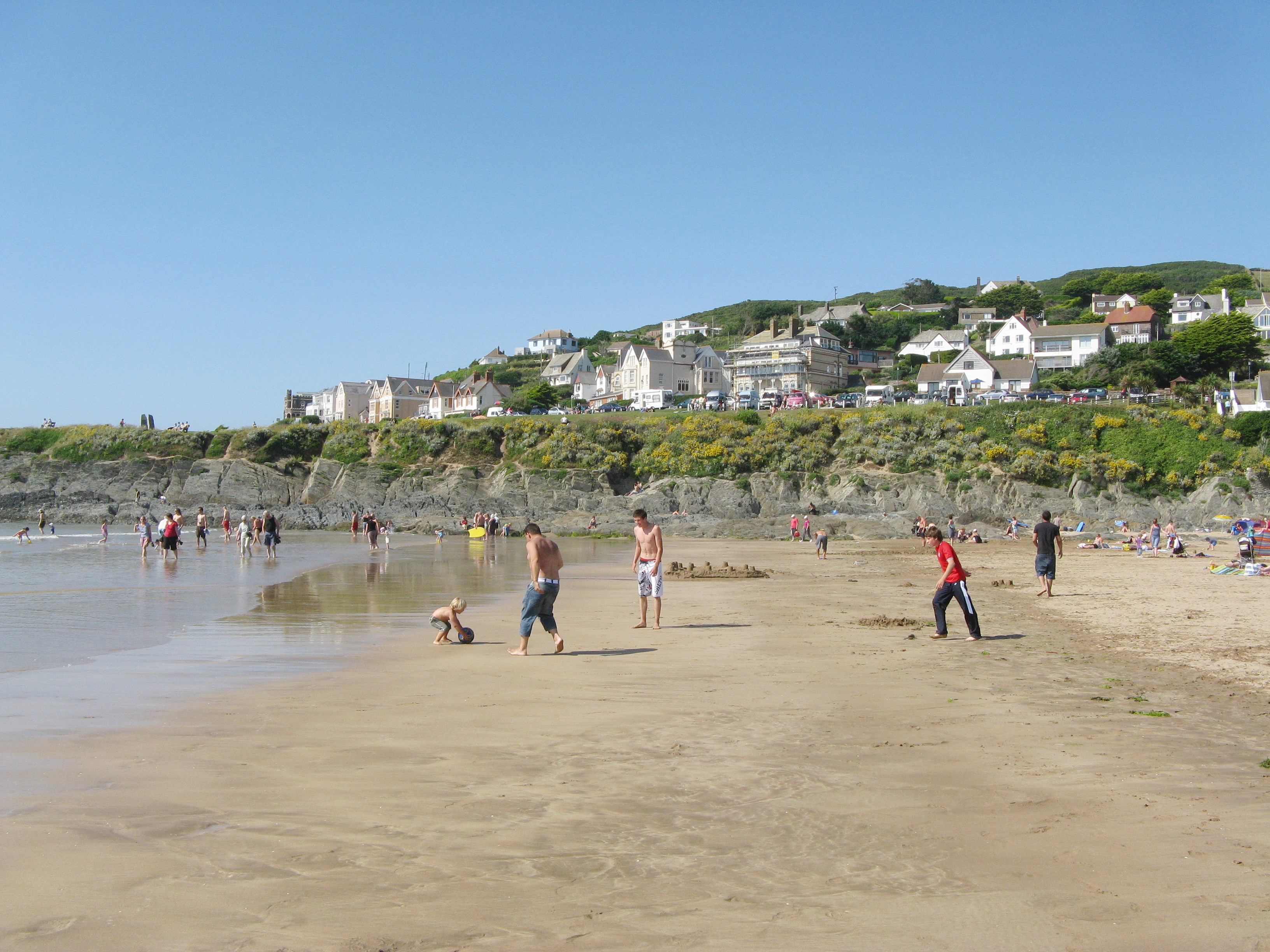
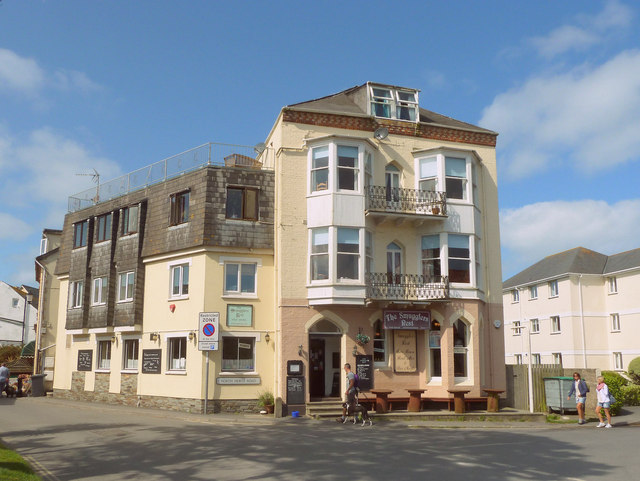
Woolacombe
Woolacombe () is a seaside resort on the coast of North Devon, England, which lies at the mouth of a valley (or "combe") in the parish of Mortehoe. The...

Mortehoe and Woolacombe railway station
Mortehoe and Woolacombe railway station was a station on the London and South Western Railway Ilfracombe Branch Line between Barnstaple and Ilfracombe...
Nearby Amenities
Located within 500m of 51.199381,-4.1930078Have you been to Bennett's Mouth?
Leave your review of Bennett's Mouth below (or comments, questions and feedback).