Damagehue Rock
Island in Devon North Devon
England
Damagehue Rock
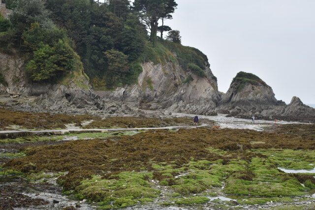
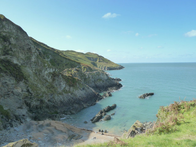
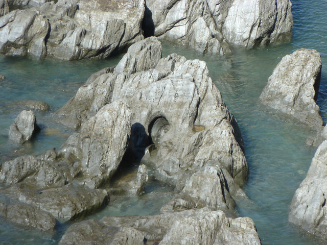
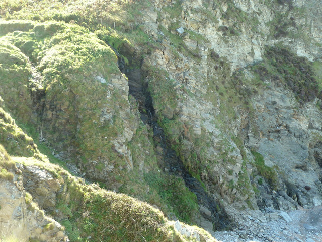
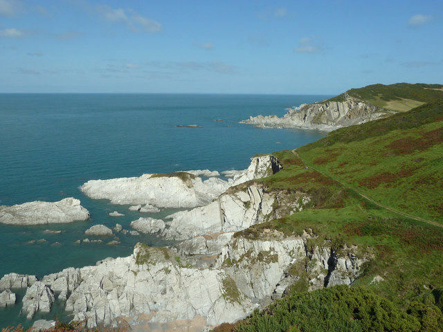
Damagehue Rock is a small island located off the coast of Devon, England. It is situated approximately 2 kilometers southwest of the town of Hartland Point and covers an area of around 0.6 hectares. The island is primarily composed of rugged, rocky terrain and is characterized by steep cliffs that rise dramatically from the surrounding sea.
The name "Damagehue" is said to be derived from the Old English words "dam" meaning "to tame" and "hewe" meaning "a hill." This name aptly reflects the challenging nature of the island's landscape. The rock formations on the island are mainly composed of sandstone and shale, creating a visually striking spectacle for visitors.
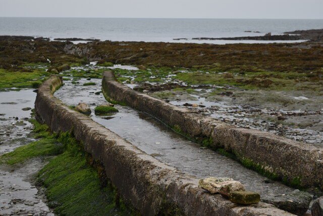
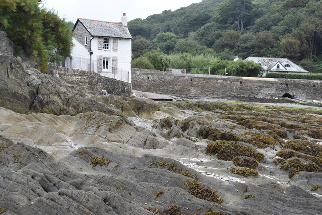
Due to its remote location and treacherous waters, Damagehue Rock is inaccessible to the general public. The island is home to a variety of seabirds, including guillemots and razorbills, which nest on the cliffs. The surrounding waters are known to support a diverse range of marine life, including seals and dolphins.
Damagehue Rock has historical significance as well. It is believed that the island was once used by smugglers as a hideout due to its secluded location. The remnants of old structures, such as small shelters and storage areas, can still be seen on the island today.
Overall, Damagehue Rock is a picturesque and remote island off the coast of Devon. Its rugged cliffs, diverse wildlife, and historical significance make it a fascinating location for nature enthusiasts and history buffs alike.
If you have any feedback on the listing, please let us know in the comments section below.
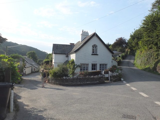
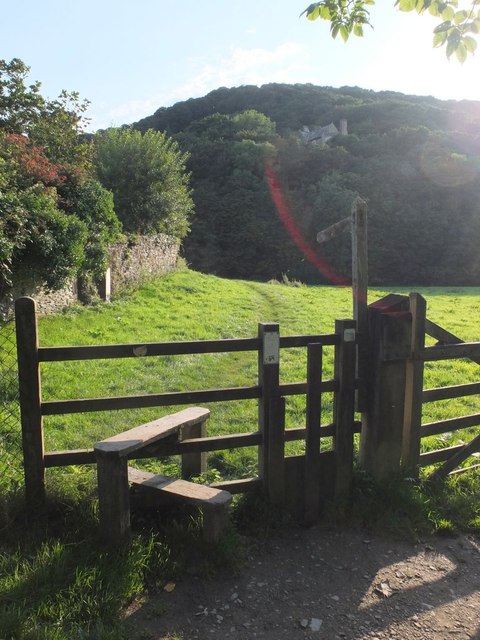
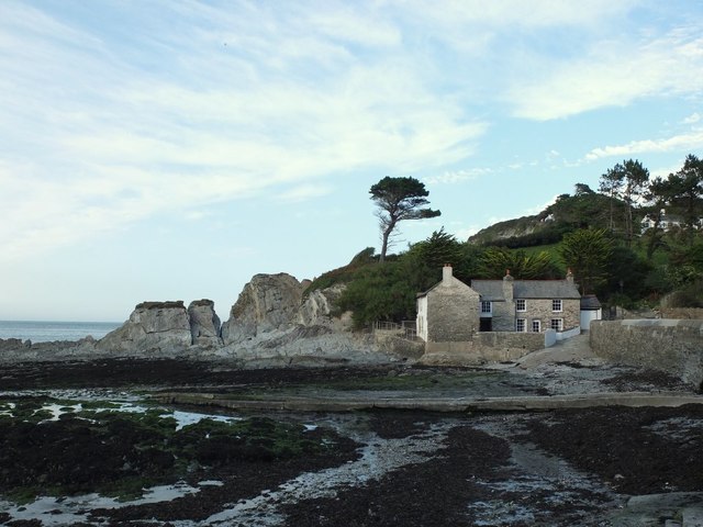
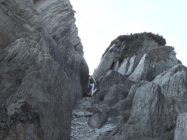
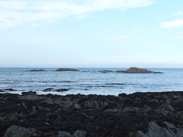
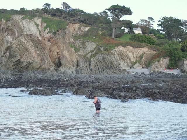
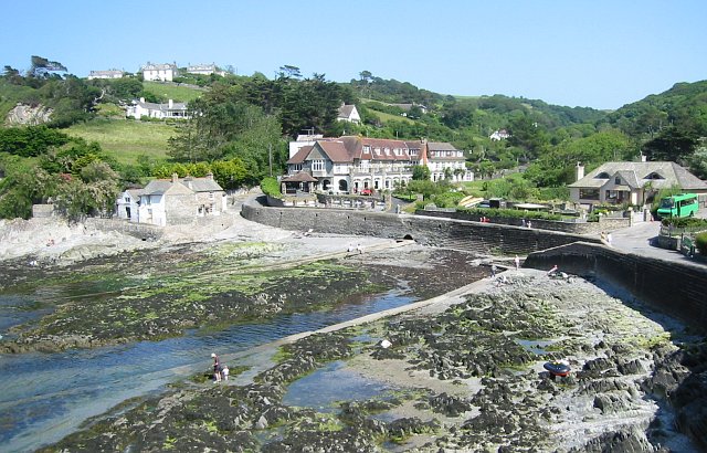
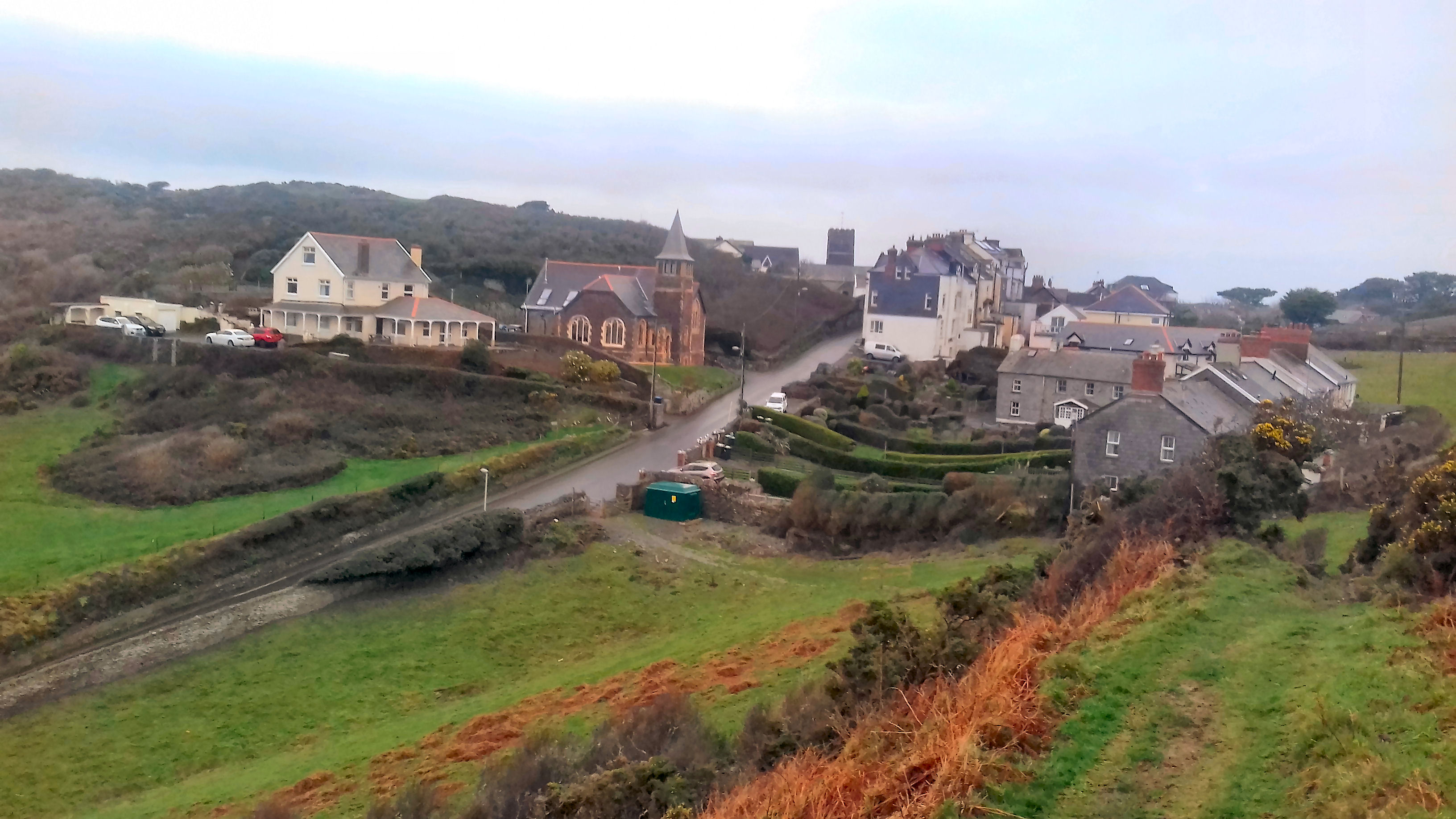
Damagehue Rock Images
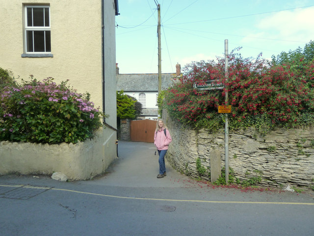
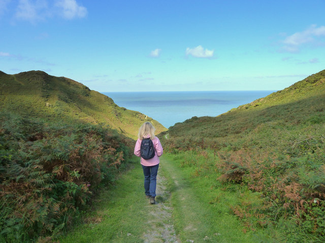
Images are sourced within 2km of 51.200145/-4.191584 or Grid Reference SS4646. Thanks to Geograph Open Source API. All images are credited.
Damagehue Rock is located at Grid Ref: SS4646 (Lat: 51.200145, Lng: -4.191584)
Administrative County: Devon
District: North Devon
Police Authority: Devon and Cornwall
What 3 Words
///cinemas.lends.hopefully. Near Ilfracombe, Devon
Nearby Locations
Related Wikis

Bull Point Lighthouse
Bull Point Lighthouse is a lighthouse on Bull Point, about one mile (1.6 km) north of the village of Mortehoe, on the northern coast of Devon, England...
Lee Bay
Lee Bay or just Lee is a small village on the North Devon coast near Woolacombe. Lee is situated on the rugged and inhospitable stretch of coast between...

Morte Point
Morte Point is a peninsula on the north west coast of Devon, England, belonging to the National Trust. To the east is the village of Mortehoe and to the...
Mortehoe
Mortehoe () is a village and former manor on the north coast of Devon, England. It lies 10 miles north-west of Barnstaple, near Woolacombe and Lee Bay...
Nearby Amenities
Located within 500m of 51.200145,-4.191584Have you been to Damagehue Rock?
Leave your review of Damagehue Rock below (or comments, questions and feedback).