West Appledore
Coastal Marsh, Saltings in Devon Torridge
England
West Appledore
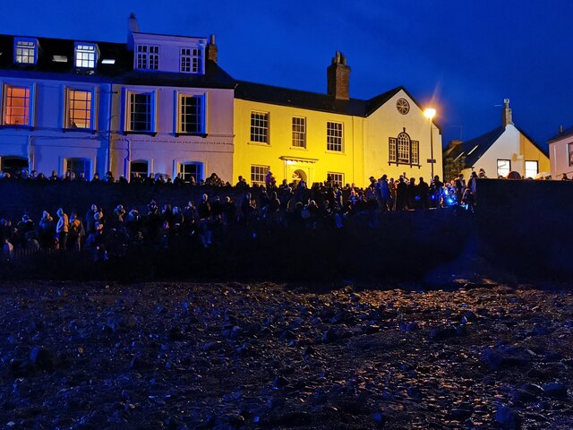
West Appledore is a small village located in Devon, England, situated on the coast and known for its picturesque coastal marsh and saltings. Nestled between the rolling hills and the vast sandy beaches, it is a haven for nature enthusiasts and those seeking tranquility in a beautiful natural setting.
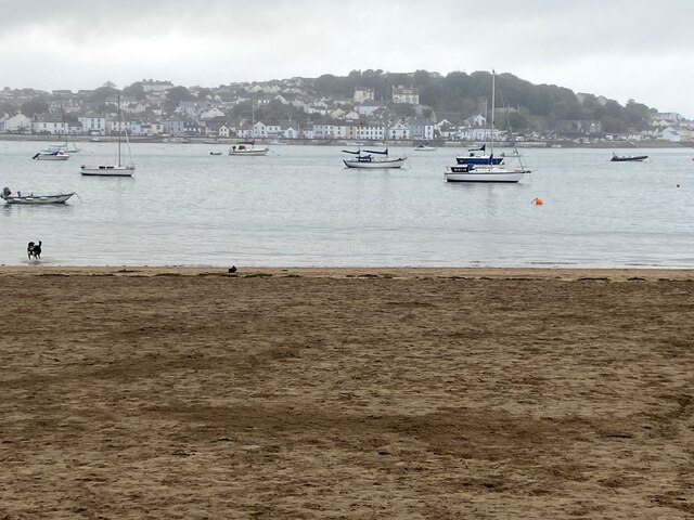
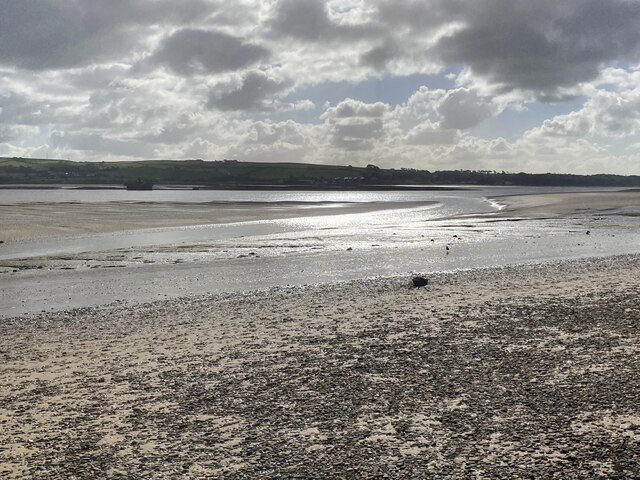
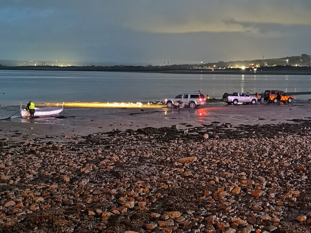
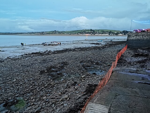
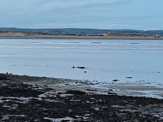
The coastal marsh in West Appledore is a unique and diverse ecosystem, characterized by its extensive salt marshes and mudflats. It is home to a wide array of plant and animal species, many of which are rare and protected. The marshes provide an important habitat for numerous bird species, including wading birds such as curlews, redshanks, and oystercatchers. Herons and egrets can also be spotted gracefully gliding through the marshes, fishing for their next meal.
The saltings, or salt marshes, in West Appledore are a result of the area's tidal patterns and the mixing of freshwater from the surrounding rivers with the seawater from the Atlantic Ocean. This creates a brackish environment that is ideal for unique plant species, such as sea lavender and glasswort, which thrive in the salty conditions.
The village itself is a quaint and charming community, with a few traditional cottages scattered throughout the area. It is a popular destination for visitors who enjoy walking along the coast, taking in the stunning views of the marshes, and spotting the various wildlife that call this area home.
Overall, West Appledore, with its coastal marsh and saltings, offers a serene and picturesque experience for those looking to escape the hustle and bustle of city life and immerse themselves in the beauty of nature.
If you have any feedback on the listing, please let us know in the comments section below.
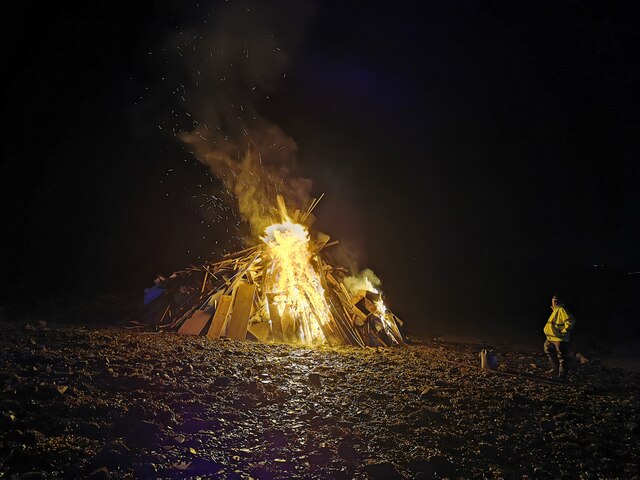
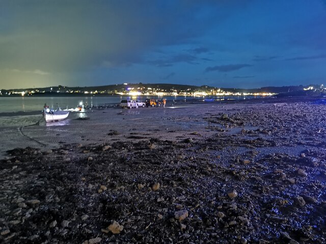
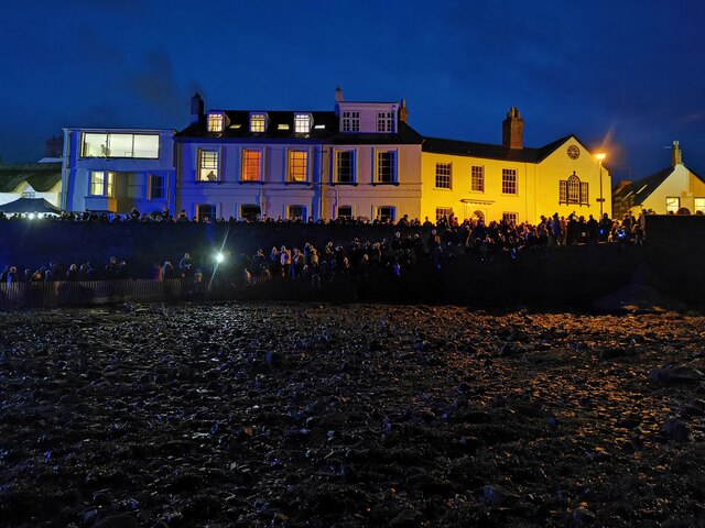
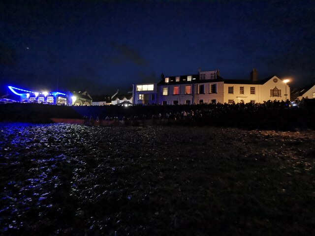
West Appledore Images
Images are sourced within 2km of 51.056767/-4.1927534 or Grid Reference SS4630. Thanks to Geograph Open Source API. All images are credited.


West Appledore is located at Grid Ref: SS4630 (Lat: 51.056767, Lng: -4.1927534)
Administrative County: Devon
District: Torridge
Police Authority: Devon and Cornwall
What 3 Words
///interviewer.brush.auctioned. Near Appledore, Devon
Nearby Locations
Related Wikis

Appledore railway station (Devon)
Appledore railway station was a railway station in north Devon, situated close to the village of Appledore, a community lying on the peninsula formed by...

St Mary's Church, Appledore
St Mary's Church is the parish church of Appledore. It sits on the Quay overlooking the River Torridge. The foundation stone of the church was laid in...
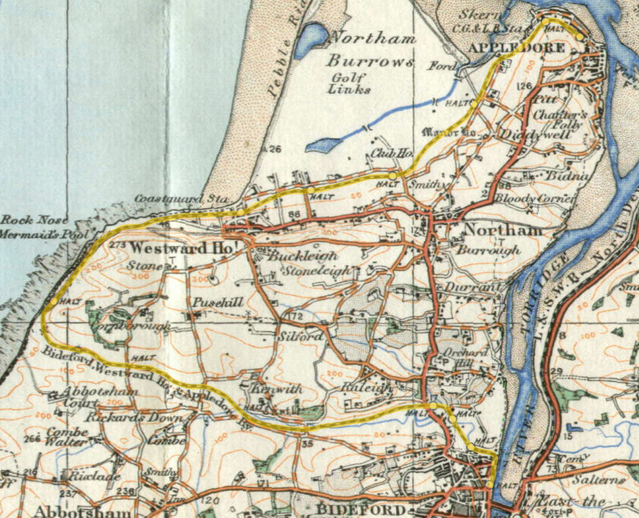
Lovers' Lane Halt railway station
Lovers' Lane Halt railway station was a minor railway station or halt in north Devon close to the town of Appledore, a community lying on the peninsula...

River Torridge
The River Torridge is a river in Devon in England; it rises near Meddon. The river describes a long loop through Devon farming country where its tributaries...
Related Videos

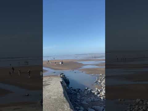
Westward Ho! S11E60 The Caravan Holiday that Tim Forgot
I came to Westward Ho! on a family caravan holiday in my early teens. Yet now I see the place some 40 years later I have no ...

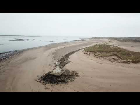
Walking at Crow
Walking the dog at Crow Point, Braunton. North Devon Music with permission - By Aforest ...
Nearby Amenities
Located within 500m of 51.056767,-4.1927534Have you been to West Appledore?
Leave your review of West Appledore below (or comments, questions and feedback).