Staddon Hill
Hill, Mountain in Devon Torridge
England
Staddon Hill
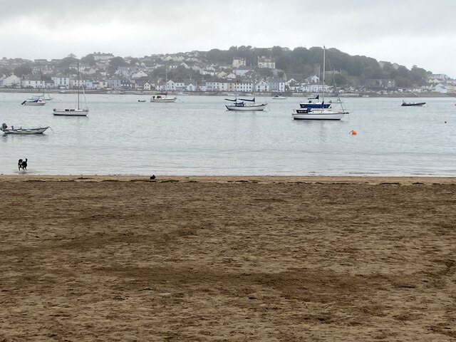
Staddon Hill is a prominent hill located in the county of Devon, England. Situated on the eastern side of the Plymouth Sound, it forms part of the South Devon Area of Outstanding Natural Beauty. Rising to an elevation of approximately 370 feet (113 meters), Staddon Hill offers stunning panoramic views of the surrounding area.
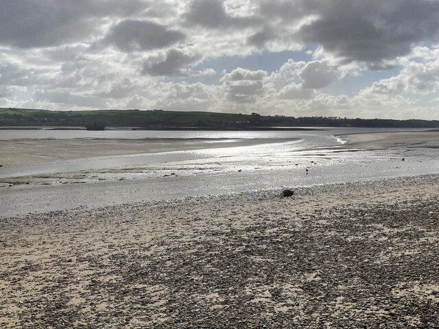
The hill is characterized by its rolling grassy slopes and rugged coastline. It is primarily composed of sedimentary rocks, including limestone and sandstone, which have been shaped by natural erosion processes over millions of years. These geological features contribute to the unique beauty of Staddon Hill.
The hill is a popular destination for outdoor enthusiasts, offering a range of activities such as hiking, walking, and birdwatching. There are several well-maintained trails that lead visitors to the summit, providing opportunities to explore the diverse flora and fauna that inhabit the area. The hill is also home to a variety of bird species, including peregrine falcons and kestrels, making it a haven for birdwatchers.
Staddon Hill is steeped in history, with evidence of human occupation dating back to the Bronze Age. The remains of ancient settlements and burial mounds can still be found on its slopes, offering a glimpse into the region's past.
Overall, Staddon Hill is a picturesque and historically significant landmark in Devon, attracting both nature lovers and history enthusiasts with its natural beauty and cultural heritage.
If you have any feedback on the listing, please let us know in the comments section below.
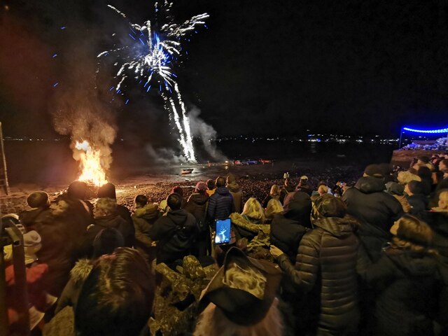
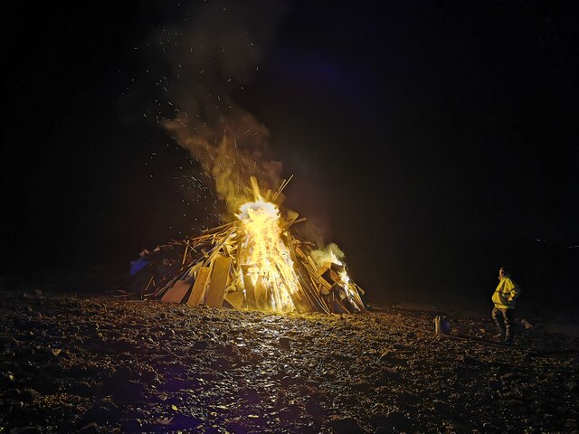
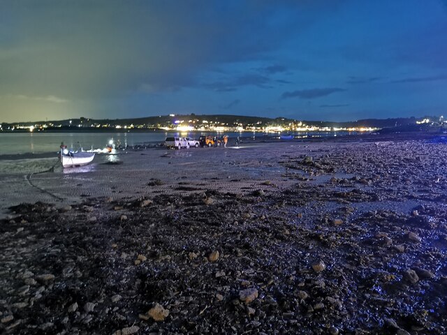
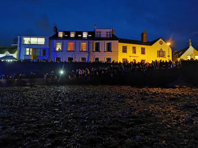
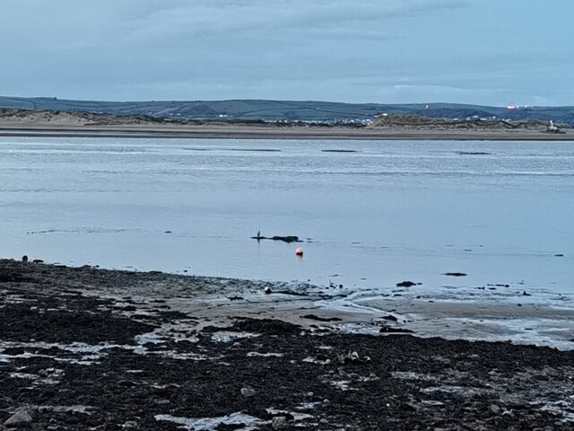
Staddon Hill Images
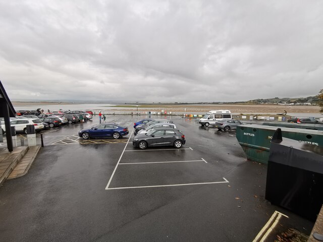
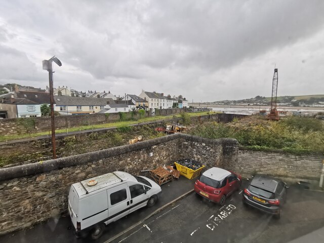
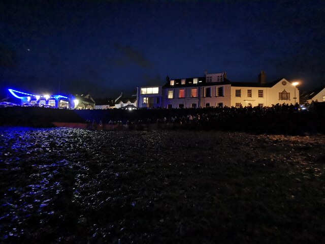
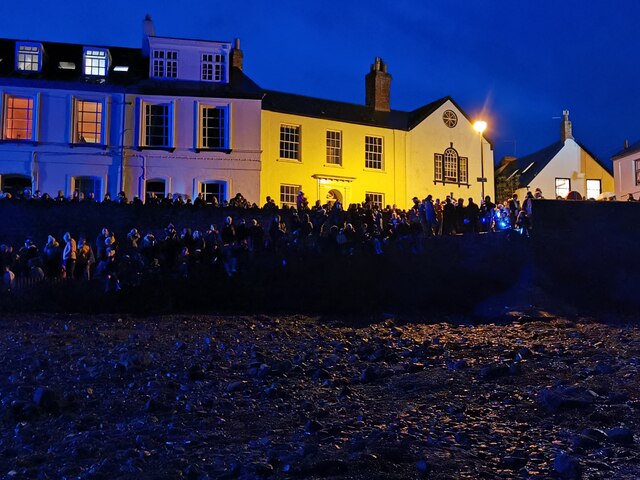
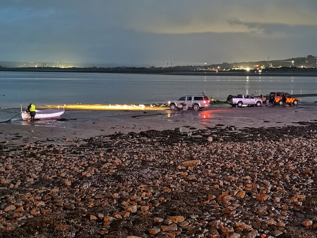
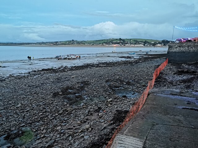
Images are sourced within 2km of 51.054725/-4.1971376 or Grid Reference SS4630. Thanks to Geograph Open Source API. All images are credited.


Staddon Hill is located at Grid Ref: SS4630 (Lat: 51.054725, Lng: -4.1971376)
Administrative County: Devon
District: Torridge
Police Authority: Devon and Cornwall
What 3 Words
///firewall.litters.paddock. Near Appledore, Devon
Nearby Locations
Related Wikis
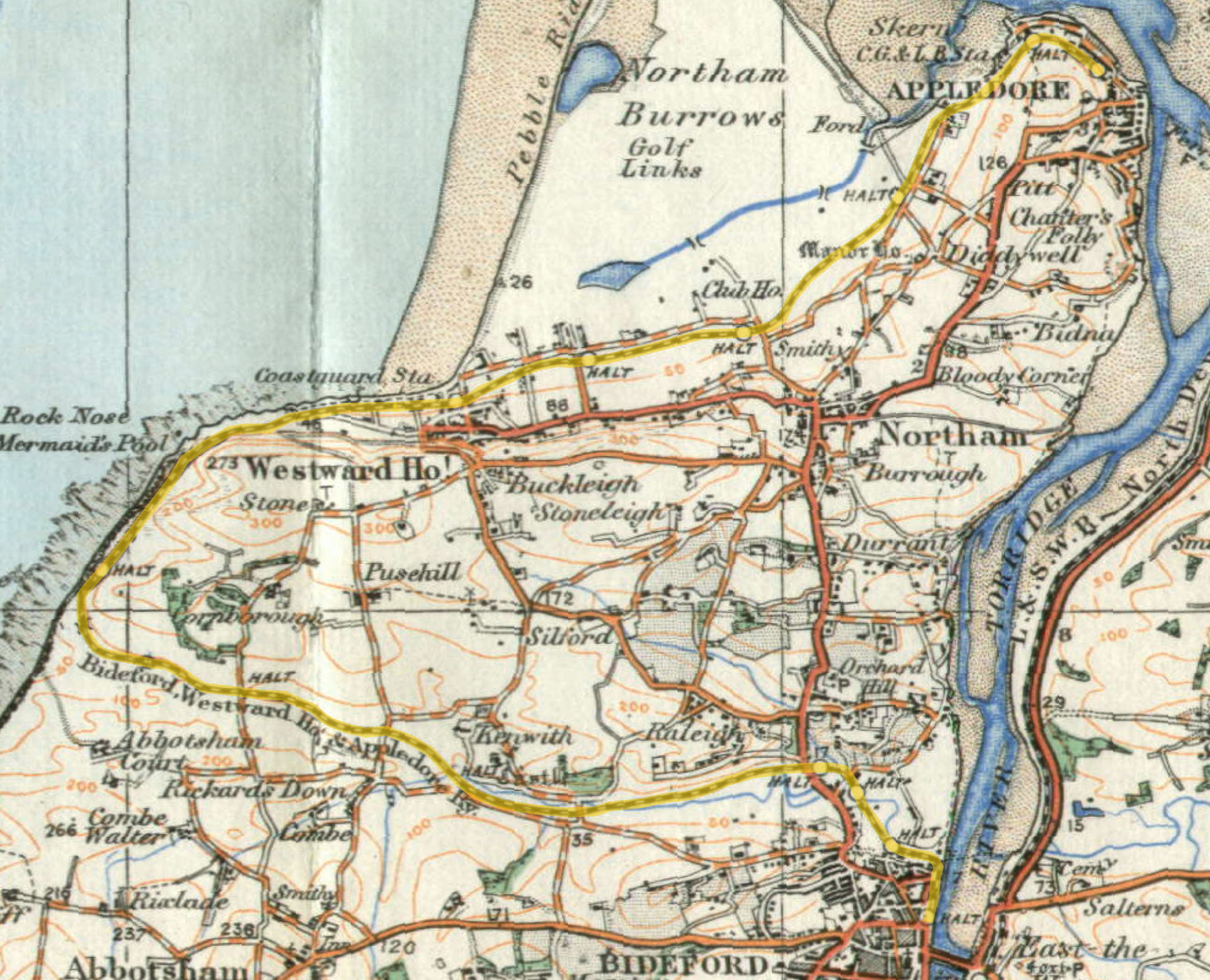
Lovers' Lane Halt railway station
Lovers' Lane Halt railway station was a minor railway station or halt in north Devon close to the town of Appledore, a community lying on the peninsula...

Appledore railway station (Devon)
Appledore railway station was a railway station in north Devon, situated close to the village of Appledore, a community lying on the peninsula formed by...

St Mary's Church, Appledore
St Mary's Church is the parish church of Appledore. It sits on the Quay overlooking the River Torridge. The foundation stone of the church was laid in...

Appledore, Torridge
Appledore is a village at the mouth of the River Torridge, about 6 miles (10 km) west of Barnstaple and about 3 miles (5 km) north of Bideford in the county...
Nearby Amenities
Located within 500m of 51.054725,-4.1971376Have you been to Staddon Hill?
Leave your review of Staddon Hill below (or comments, questions and feedback).