Overton Mere

Coastal Marsh, Saltings in Glamorgan

Wales

Overton Mere

Old stile Above Overton on The Gower. Many more in better condition to go.
Old stile Credit: John Duckfield

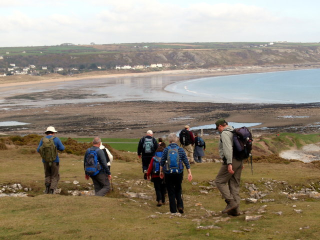
Overton Mere is a coastal marsh located in Glamorgan, Wales. It is a designated Site of Special Scientific Interest (SSSI) due to its unique and ecologically important characteristics.

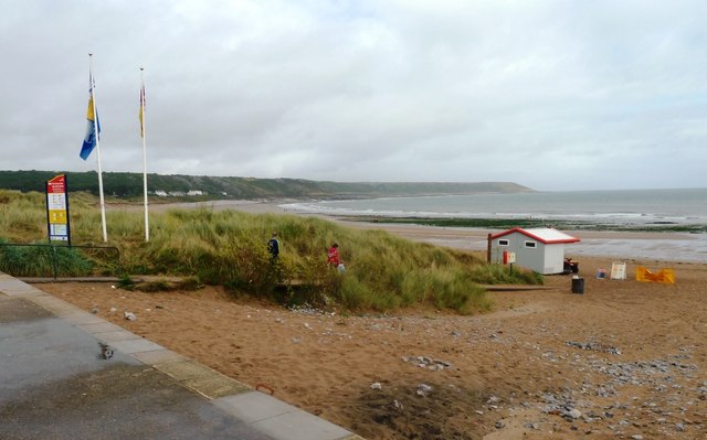
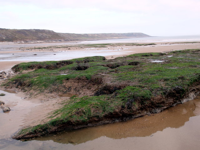
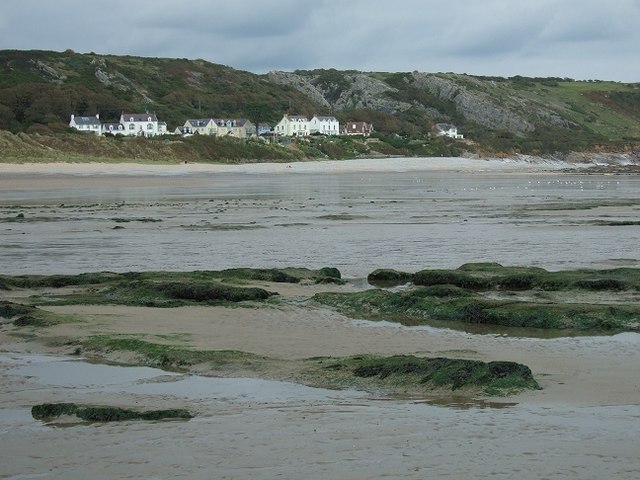
The marsh is situated on the southern coast of Glamorgan and covers an area of approximately 100 hectares. It is primarily composed of saltmarshes and saltings, which are low-lying areas of land that are regularly flooded by tidal waters.

The landscape of Overton Mere is characterized by a network of channels and creeks, which are influenced by the ebb and flow of the tides. These tidal waters bring in nutrients and sediments, creating a fertile habitat for a diverse range of plant and animal species.

The saltmarshes of Overton Mere are home to several rare and notable plant species, including sea lavender (Limonium vulgare) and sea aster (Aster tripolium). These plants provide important food and shelter for a variety of invertebrates, which in turn attract a range of bird species such as curlews, redshanks, and lapwings.

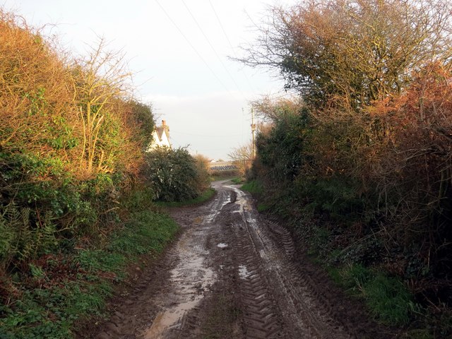
In addition to its ecological significance, Overton Mere also holds historical importance. The marsh was once used for grazing livestock and harvesting salt. Remnants of these activities, such as old salt pans and ditches, can still be seen today.

Overall, Overton Mere is a unique coastal marsh in Glamorgan, offering a valuable habitat for numerous plant and animal species, as well as providing a glimpse into the area's historical past.

If you have any feedback on the listing, please let us know in the comments section below.
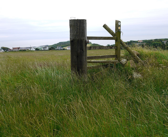
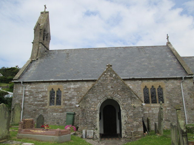
Overton Mere Images

Images are sourced within 2km of 51.53884/-4.2147299 or Grid Reference SS4684. Thanks to Geograph Open Source API. All images are credited.

Old stile Above Overton on The Gower. Many more in better condition to go.
Old stile
Above Overton on The Gower. Many more in better condition to go.
Culver Hole, Porteynon Er y cysyllir 'Culver Hole' gyda smyglwyr y gwir plaen amdani yw taw colomendy ydoedd. Oddi fewn ceir rhesi o flychau nythu a fu'n gartref i gannoedd o golomenod. Fe'i hadeiladwyd yn ystod y canol oesoedd er sicrhau cyflenwad parod o wyau a chig i'r ford. Credir bod 'Culver' yn air Hen Saesneg am golomen. Mae'r safle bellach o dan ofal yr Ymddiriedolaeth Genedlaethol. 

Despite being associated with smuggling 'Culver Hole' is in fact a dovecote. It was built during the middle ages to provide fresh eggs and meat for the table. The interior has 30 tiers of nesting boxes which would have been home to hundreds of pigeons. It is believed that 'Culver' is an Old English word meaning dove or pigeon. The structure is now under the care of the National Trust.
Culver Hole, Porteynon
Er y cysyllir 'Culver Hole' gyda smyglwyr y gwir plaen amdani yw taw colomendy ydoedd. Oddi fewn ceir rhesi o flychau nythu a fu'n gartref i gannoedd o golomenod. Fe'i hadeiladwyd yn ystod y canol oesoedd er sicrhau cyflenwad parod o wyau a chig i'r ford. Credir bod 'Culver' yn air Hen Saesneg am golomen. Mae'r safle bellach o dan ofal yr Ymddiriedolaeth Genedlaethol. Despite being associated with smuggling 'Culver Hole' is in fact a dovecote. It was built during the middle ages to provide fresh eggs and meat for the table. The interior has 30 tiers of nesting boxes which would have been home to hundreds of pigeons. It is believed that 'Culver' is an Old English word meaning dove or pigeon. The structure is now under the care of the National Trust.
Port Eynon shops and caravan site
Holiday homes at Port Eynon
Track Track & footpath along side The Beeches.
Track
Track & footpath along side The Beeches.
Tafarn y Ship Inn, Poteynon. Tafarn y Ship ym Mhortheinon.

The Ship Inn at Porteynon.
Tafarn y Ship Inn, Poteynon.
Tafarn y Ship ym Mhortheinon. The Ship Inn at Porteynon.
Port Eynon
Port Eynon
Port Eynon Beach
Port Eynon Beach
Ordnance Survey Cut Mark This OS cut mark can be found on New House Farm. It marks a point 38.323m above mean sea level.
Ordnance Survey Cut Mark
This OS cut mark can be found on New House Farm. It marks a point 38.323m above mean sea level.
Ordnance Survey Cut Mark This OS cut mark can be found on a wall to the east of the road. It marks a point 58.037m above mean sea level.
Ordnance Survey Cut Mark
This OS cut mark can be found on a wall to the east of the road. It marks a point 58.037m above mean sea level.
Ordnance Survey Cut Mark This OS cut mark can be found on the porch of St Cadoc's Church. It marks a point 20.089m above mean sea level. <a title="https://www.geograph.org.uk/photo/4017100" href="https://www.geograph.org.uk/photo/4017100">Link</a>
Ordnance Survey Cut Mark
This OS cut mark can be found on the porch of St Cadoc's Church. It marks a point 20.089m above mean sea level. Link
St Cadoc's Church There is an OS cut mark on the porch. <a title="https://www.geograph.org.uk/photo/4017099" href="https://www.geograph.org.uk/photo/4017099">Link</a>
St Cadoc's Church
There is an OS cut mark on the porch. Link
A4118 at Moor Corner Farm
Port Eynon car park and bay beyond
Port Eynon beach Approach to Port Eynon beach with lifeguard hut, flags and information/safety notices. Horton and route taken by Wales Coast Path in background.
Port Eynon beach
Approach to Port Eynon beach with lifeguard hut, flags and information/safety notices. Horton and route taken by Wales Coast Path in background.
Traeth Portheinon / Porteynon Beach Traeth Portheinon gyda mawn hynafol yn amlygu ei hunan yn ystod llanw isel.

Port Eynon beach with exposed ancient peat bed during low tide.
Traeth Portheinon / Porteynon Beach
Traeth Portheinon gyda mawn hynafol yn amlygu ei hunan yn ystod llanw isel. Port Eynon beach with exposed ancient peat bed during low tide.
Portheinon / Port Eynon Cerddwyr yn anelu at y traeth ym Mhortheinon. 

Walkers descending towards the beach at Port Eynon.
Portheinon / Port Eynon
Cerddwyr yn anelu at y traeth ym Mhortheinon. Walkers descending towards the beach at Port Eynon.
Ger/ Near Little Hills Hen heol ddiwyneb ger Ffarm Little Hills. Mae'r ffordd eisioes wedi'i hisraddio i lwybr ceffyl.

Old unsurfaced road near Little Hills Farm. The thoroughfare has long been downgraded to a bridleway.
Ger/ Near Little Hills
Hen heol ddiwyneb ger Ffarm Little Hills. Mae'r ffordd eisioes wedi'i hisraddio i lwybr ceffyl. Old unsurfaced road near Little Hills Farm. The thoroughfare has long been downgraded to a bridleway.
Show me another place!

Overton Mere is located at Grid Ref: SS4684 (Lat: 51.53884, Lng: -4.2147299)

Unitary Authority: Swansea

Police Authority: South Wales

What 3 Words

///helped.duet.blaring. Near Rhossili, Swansea

Related Wikis

Port Eynon

Port Eynon (also spelt Port Einon, Porth Einon in Welsh; marked on Ordnance Survey maps as Port-Eynon) is a village and community within the City and County...
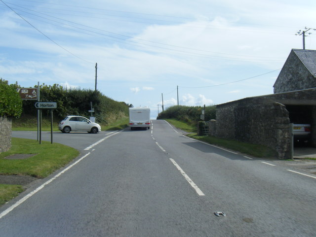
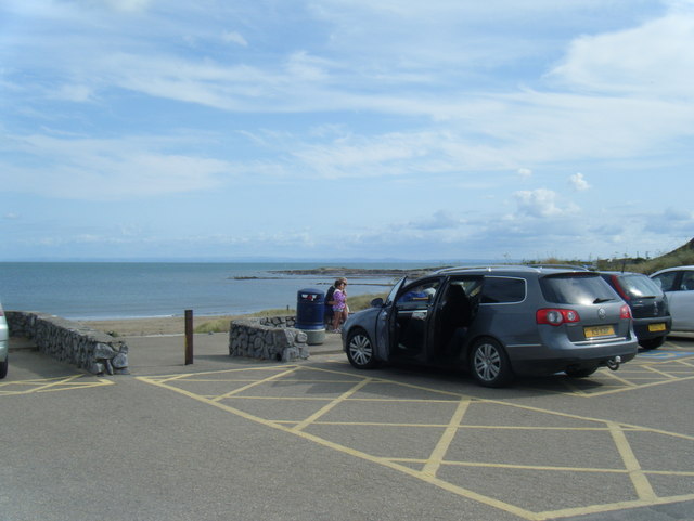
Horton Beach

Horton Beach is located in Port Eynon Bay on the south coast of the Gower Peninsula in Wales. It is reached from the nearby village of Horton via a steep...

Horton and Port Eynon Lifeboat Station

Horton and Port Eynon Lifeboat Station (based in Horton, Swansea, Wales) opened in 1884 and was originally based in Port Eynon.The current station in Horton...

Long Hole Cave

Long Hole, also spelled Longhole, is a limestone cave on the south coast of the Gower Peninsula between Paviland and Port Eynon. It is relatively small...

Nearby Amenities

Located within 500m of 51.53884,-4.2147299
Fixme: Check access north of here
Lat/Long: 51.5398274/-4.2086879
Barrier: kissing_gate
Lat/Long: 51.5422524/-4.2104786
Culver Hole
Name Cy: Twll Culver
Natural: cave_entrance
Lat/Long: 51.5392688/-4.2141051
Salt House
Historic: ruins
Note: 18th Century building to used to extract salt from the sea.
Wikidata: Q122220078
Lat/Long: 51.5398136/-4.208491
Port Eynon Youth Hostel
Brand: YHA
Brand Wikidata: Q8059214
Contact Website: https://www.yha.org.uk/hostel/yha-port-eynon
Name Cy: Hostel ieuenctid Porth Einon
Operator: YHA
Tourism: hostel
Lat/Long: 51.5413613/-4.209789
Barrier: kissing_gate
Bicycle: no
Foot: yes
Lat/Long: 51.5399462/-4.2088758
Port Eynon Point - National Trust
Information: guidepost
Name Cy: Pont Porth Einon - Ymddiriedolaeth Genedlaethol
Tourism: information
Lat/Long: 51.538706/-4.209731
Natural: cave_entrance
Lat/Long: 51.537225/-4.210449
Natural: cave_entrance
Lat/Long: 51.53725/-4.209986
The Gower Society
Historic: monument
Name Cy: Cymdeithas y Gwyr
Lat/Long: 51.5379635/-4.2114446
Ele: 51
Information: guidepost
Tourism: information
Lat/Long: 51.5386039/-4.2123397
The Salthouse
Board Type: history
Check Date: 2022-07-30
Description: history of the 'The Salthouse'
Information: board
Tourism: information
Lat/Long: 51.5397312/-4.2083214
Information: route_marker
Tourism: information
Lat/Long: 51.5411106/-4.2114438
Information: route_marker
Tourism: information
Lat/Long: 51.5414659/-4.2102744
Note: Former path southwest shut
Lat/Long: 51.5410226/-4.2200738
Overton Mere
Information: board
Name Cy: Owrtyn Mere
Tourism: information
Lat/Long: 51.541209/-4.2149548
Tourism: viewpoint
Lat/Long: 51.5392215/-4.2139482
The data included in this document is from www.openstreetmap.org. The data is made available under ODbL.

Have you been to Overton Mere?

Leave your review of Overton Mere below (or comments, questions and feedback).