Culver Hole
Heritage Site in Glamorgan
Wales
Culver Hole
Culver Hole is a historic structure located in Glamorgan, Wales. It is a unique and fascinating heritage site that attracts visitors from near and far. This intriguing building is situated on the cliffs of Gower Peninsula, overlooking the beautiful Bristol Channel.
Built in the 16th century, Culver Hole is a cylindrical tower made of limestone. It stands at an impressive height of 60 feet, with a diameter of around 30 feet. The structure is comprised of multiple levels, each accessed by a stone staircase. It is believed to have been used as a dovecote, providing shelter for hundreds of pigeons that were reared for their meat and eggs.
The design and construction of Culver Hole are striking and mysterious, as it remains uncertain who exactly built it and for what purpose. Some theories suggest it was used as a lookout tower for smugglers, while others propose it served as a storage space for goods. Regardless of its original function, the preservation of this architectural gem is a testament to its historical significance.
Today, Culver Hole serves as a popular tourist attraction and offers breathtaking views of the surrounding coastline. Visitors can explore the exterior of the building, marveling at the intricate stonework and imagining the lives of those who once inhabited it. The site is also surrounded by picturesque walking trails, allowing visitors to fully immerse themselves in the natural beauty of the area.
Culver Hole is a must-visit destination for history enthusiasts and nature lovers alike, offering a glimpse into the past while providing a memorable experience in the present.
If you have any feedback on the listing, please let us know in the comments section below.
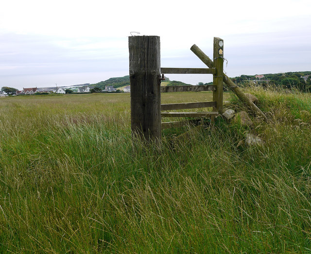
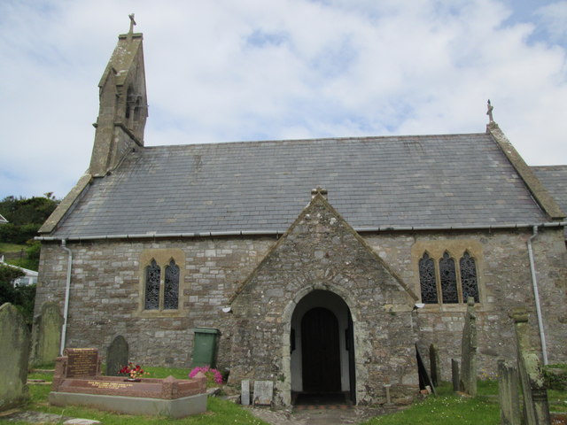
Culver Hole Images
Images are sourced within 2km of 51.538/-4.213 or Grid Reference SS4684. Thanks to Geograph Open Source API. All images are credited.


Culver Hole is located at Grid Ref: SS4684 (Lat: 51.538, Lng: -4.213)
Unitary Authority: Swansea
Police Authority: South Wales
What 3 Words
///expel.reflected.faces. Near Rhossili, Swansea
Nearby Locations
Related Wikis

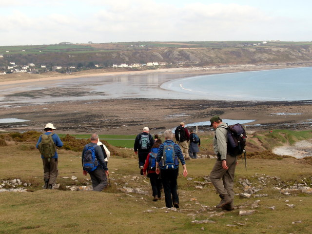
Port Eynon
Port Eynon (also spelt Port Einon, Porth Einon in Welsh; marked on Ordnance Survey maps as Port-Eynon) is a village and community within the City and County...
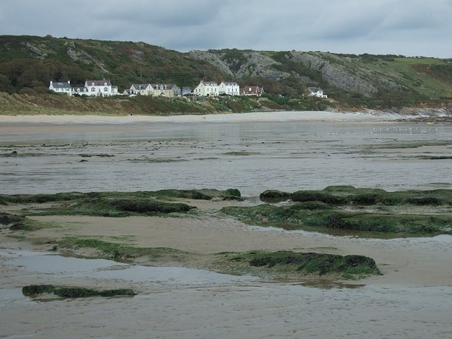
Horton Beach
Horton Beach is located in Port Eynon Bay on the south coast of the Gower Peninsula in Wales. It is reached from the nearby village of Horton via a steep...

Horton and Port Eynon Lifeboat Station
Horton and Port Eynon Lifeboat Station (based in Horton, Swansea, Wales) opened in 1884 and was originally based in Port Eynon.The current station in Horton...

Long Hole Cave
Long Hole, also spelled Longhole, is a limestone cave on the south coast of the Gower Peninsula between Paviland and Port Eynon. It is relatively small...
Slade Bay
Slade Bay - marked on Ordnance Survey maps as "The Sands" - is a sandy beach near the village of Slade, south Wales. It is set in a relatively inaccessible...
South Gower A.F.C.
South Gower F.C. is a football club based in Scurlage in Wales, The club plays in the Ardal Leagues South West, which is the third tier of the Welsh football...
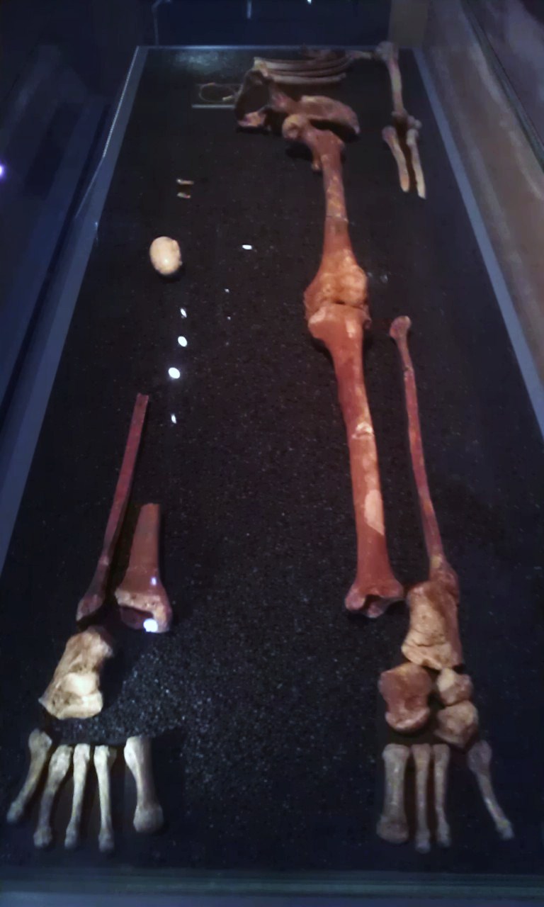
Red Lady of Paviland
The Red "Lady" of Paviland (Welsh: "Dynes" Goch Pafiland) is an Upper Paleolithic partial male skeleton dyed in red ochre and buried in Wales 33,000 BP...

Oxwich Castle
Oxwich Castle (Welsh: Castell Oxwich) is a Grade I listed castle which occupies a position on a wooded headland overlooking Oxwich Bay on the Gower Peninsula...
Nearby Amenities
Located within 500m of 51.538,-4.213Have you been to Culver Hole?
Leave your review of Culver Hole below (or comments, questions and feedback).