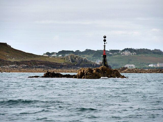
Bar Point
Coastal Marsh, Saltings in Cornwall
England
Bar Point
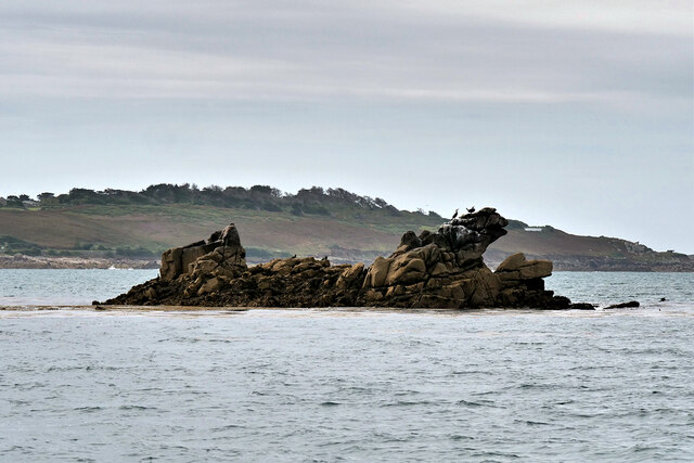
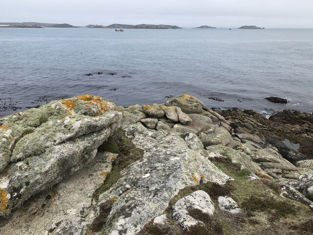
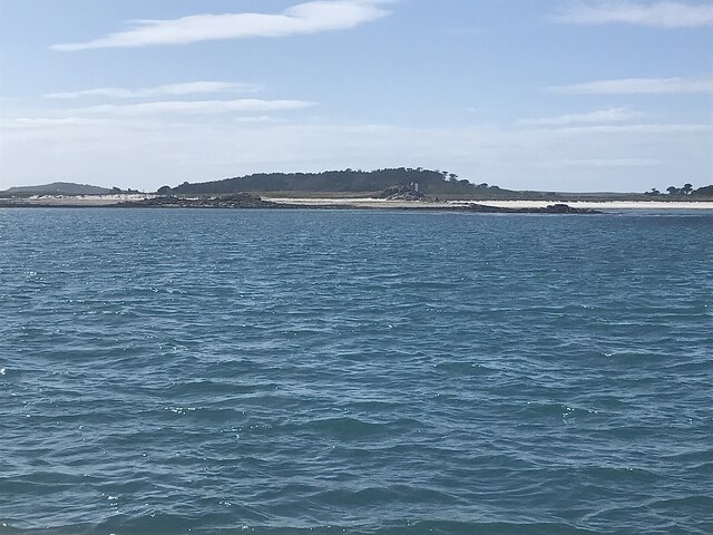
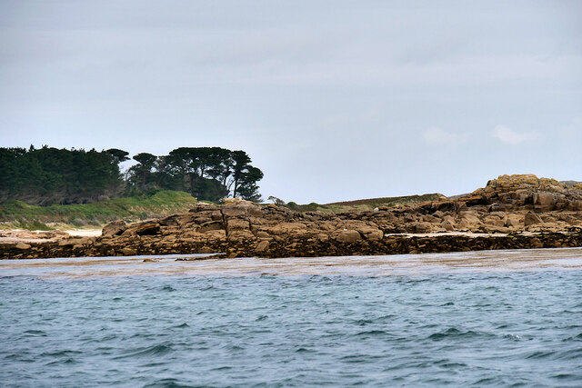
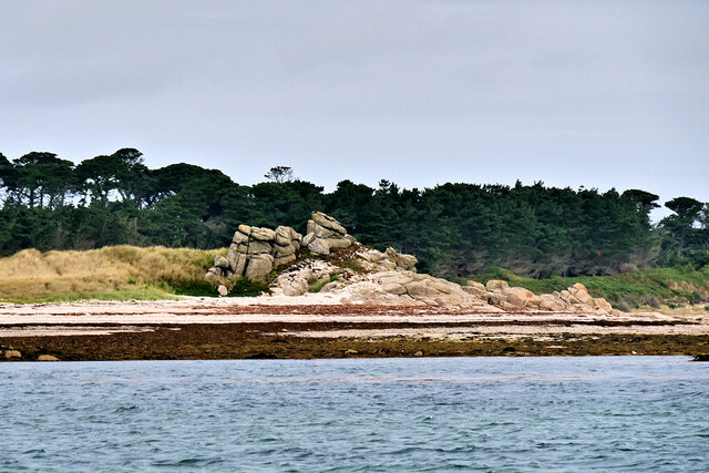
Bar Point is a coastal marsh and saltings located in Cornwall, England. Situated along the southwestern tip of the country, this area is renowned for its stunning natural beauty and diverse ecosystem. It is situated near the picturesque village of St. Agnes, offering visitors a unique blend of coastal landscapes and wildlife.
The marshes and saltings at Bar Point are characterized by their vast expanses of salt-tolerant grasses and low-lying vegetation. This distinctive habitat is created by the convergence of fresh water from nearby rivers and the tidal influence of the Atlantic Ocean. The resulting brackish water creates an ideal environment for a variety of plant species, including sea lavender, cordgrass, and samphire.
These salt marshes are not only visually captivating but also serve as vital nesting and feeding grounds for a wide range of bird species. The area is particularly popular among birdwatchers, with the opportunity to spot species such as curlews, avocets, and redshanks. Additionally, the marshes support an abundance of invertebrates, attracting wading birds and waterfowl.
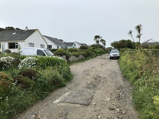
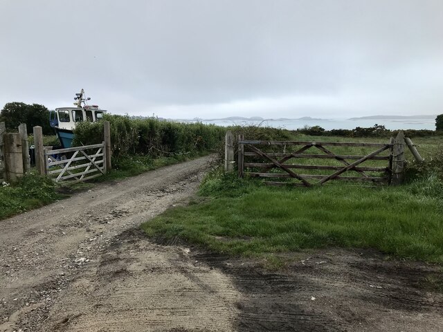
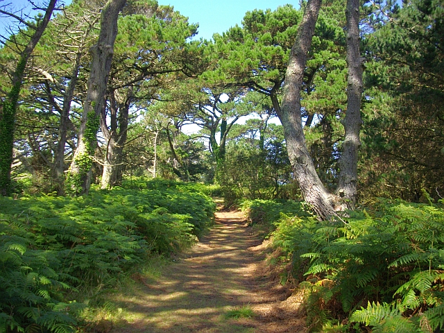
Bar Point offers visitors the chance to explore its unique landscape through a network of footpaths and trails that meander through the marshes. These paths provide stunning vistas of the surrounding coastline and the opportunity to observe the diverse flora and fauna. It is also a popular spot for photographers and nature enthusiasts seeking to capture the beauty of the area.
Overall, Bar Point in Cornwall is a must-visit destination for those seeking to immerse themselves in the natural wonders of a coastal marsh and saltings. Its diverse ecosystem, scenic views, and abundance of wildlife make it a truly captivating location for nature lovers.
If you have any feedback on the listing, please let us know in the comments section below.
Bar Point Images
Images are sourced within 2km of 49.937203/-6.3008504 or Grid Reference SV9112. Thanks to Geograph Open Source API. All images are credited.


Bar Point is located at Grid Ref: SV9112 (Lat: 49.937203, Lng: -6.3008504)
Division: Isles of Scilly
Unitary Authority: Isles of Scilly
Police Authority: Devon and Cornwall
What 3 Words
///timed.painters.madder. Near St Mary's, Isles of Scilly
Nearby Locations
Related Wikis
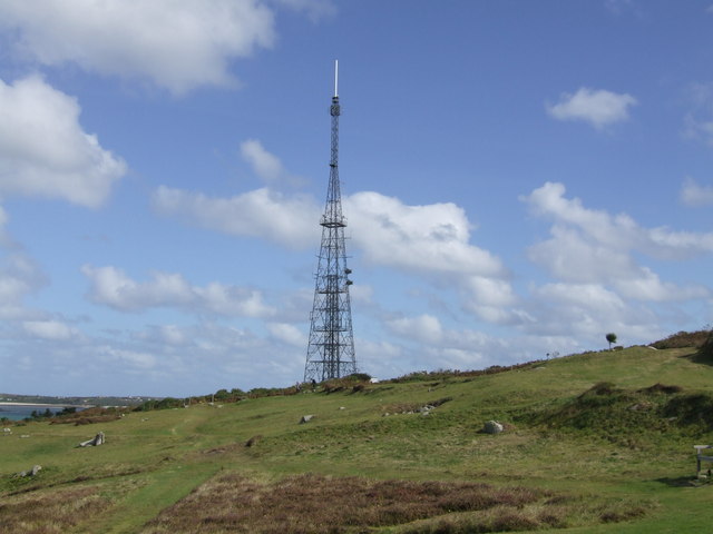
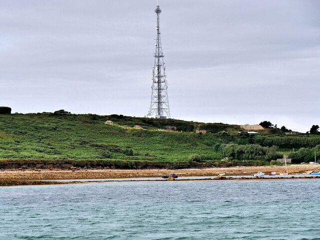
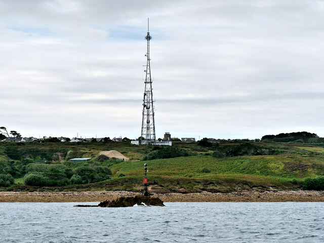
Halangy Down transmitter
The Halangy Down transmitter on St Mary's, Isles of Scilly is a 500-watt FM radio and television transmitter with a 76.2 metres (250 ft) high steel lattice...
Trenoweth, Isles of Scilly
Trenoweth (; Cornish: Trenoweth "new town") is a small settlement, located in the north of the island of St Mary's in the Isles of Scilly, Cornwall, England...

Innisidgen
Innisidgen (Cornish: Enys Ojyon, meaning Ox Island) is the site of two Bronze Age entrance graves on the island of St Mary's in the Isles of Scilly. The...

Telegraph, Isles of Scilly
Telegraph (Cornish: Brebellskrif) is a settlement on St Mary's, the largest of the Isles of Scilly, England. Telegraph is located in the north west of...
Nearby Amenities
Located within 500m of 49.937203,-6.3008504Have you been to Bar Point?
Leave your review of Bar Point below (or comments, questions and feedback).