Pendrathen
Bay in Cornwall
England
Pendrathen
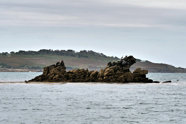
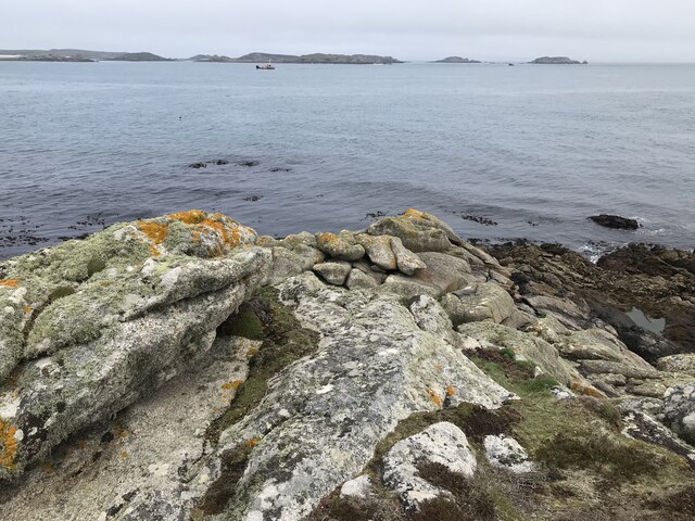
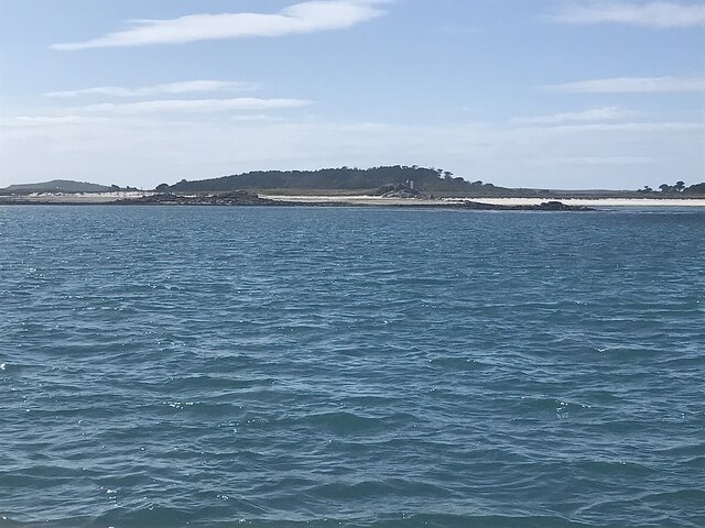
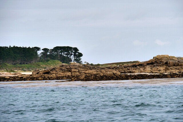
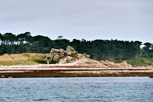
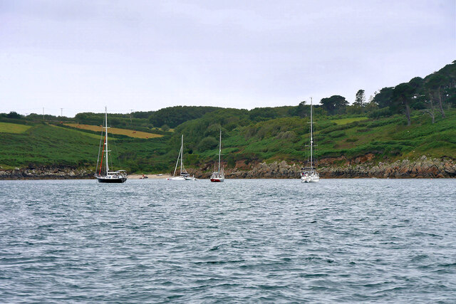
Pendrathen Bay is a picturesque coastal area located in Cornwall, England. Situated on the southern coast of the county, it boasts stunning natural beauty and a rich historical background. The bay is surrounded by rugged cliffs, golden sandy beaches, and crystal-clear turquoise waters, making it a popular destination for both locals and tourists.
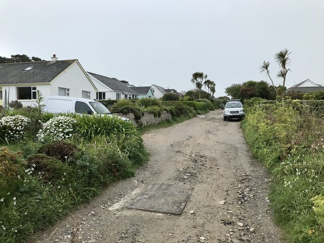
The bay is home to a small village called Pendrathen, which retains its traditional charm with its quaint cottages and narrow winding streets. The village has a population of around 1,000 residents, and it offers a peaceful and tranquil atmosphere. The locals are known for their friendly and welcoming nature, creating a warm and inviting community.
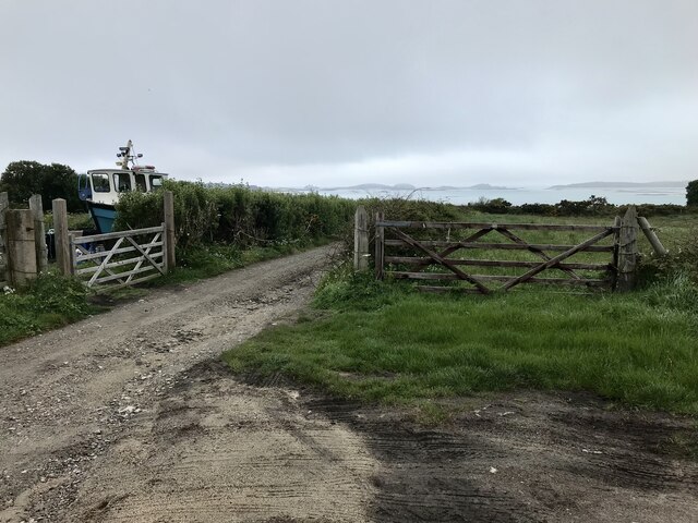
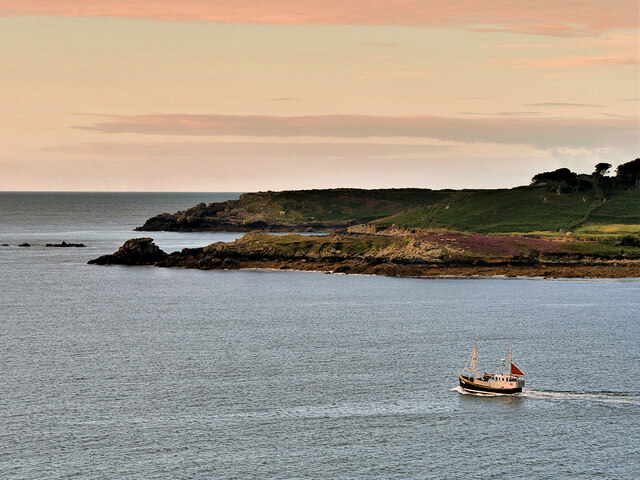
Pendrathen has a strong maritime heritage, with fishing being a significant part of its history. The village's harbor still serves as a base for local fishermen, who bring in fresh seafood daily. Visitors can enjoy freshly caught fish and chips while taking in the stunning views of the bay.
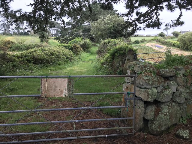
For nature enthusiasts, Pendrathen Bay provides ample opportunities for outdoor activities. The surrounding cliffs offer some of the best coastal walks in Cornwall, allowing visitors to explore the dramatic coastline and spot diverse wildlife, including seabirds and seals. The bay is also a popular spot for water sports such as surfing, kayaking, and sailing.
Overall, Pendrathen Bay is a hidden gem in Cornwall, offering a perfect blend of natural beauty, rich history, and a warm community atmosphere. Whether you're seeking tranquility, outdoor adventures, or a taste of authentic Cornish life, Pendrathen Bay has something to offer for everyone.
If you have any feedback on the listing, please let us know in the comments section below.
Pendrathen Images
Images are sourced within 2km of 49.935791/-6.3027738 or Grid Reference SV9112. Thanks to Geograph Open Source API. All images are credited.


Pendrathen is located at Grid Ref: SV9112 (Lat: 49.935791, Lng: -6.3027738)
Division: Isles of Scilly
Unitary Authority: Isles of Scilly
Police Authority: Devon and Cornwall
What 3 Words
///gravel.trade.valued. Near St Mary's, Isles of Scilly
Nearby Locations
Related Wikis
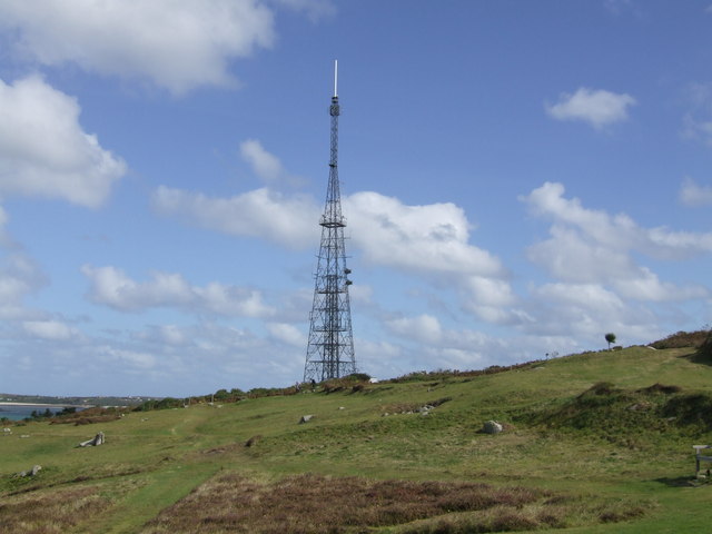
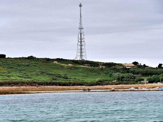
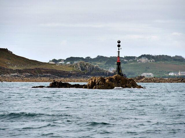
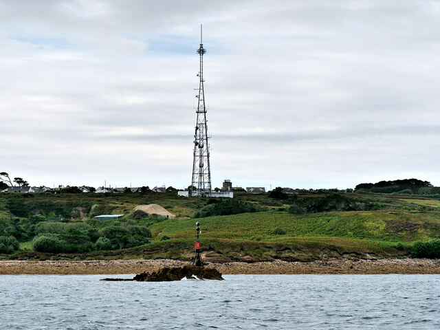
Halangy Down transmitter
The Halangy Down transmitter on St Mary's, Isles of Scilly is a 500-watt FM radio and television transmitter with a 76.2 metres (250 ft) high steel lattice...
Trenoweth, Isles of Scilly
Trenoweth (; Cornish: Trenoweth "new town") is a small settlement, located in the north of the island of St Mary's in the Isles of Scilly, Cornwall, England...

Telegraph, Isles of Scilly
Telegraph (Cornish: Brebellskrif) is a settlement on St Mary's, the largest of the Isles of Scilly, England. Telegraph is located in the north west of...

Innisidgen
Innisidgen (Cornish: Enys Ojyon, meaning Ox Island) is the site of two Bronze Age entrance graves on the island of St Mary's in the Isles of Scilly. The...
Nearby Amenities
Located within 500m of 49.935791,-6.3027738Have you been to Pendrathen?
Leave your review of Pendrathen below (or comments, questions and feedback).