Little Porth
Bay in Cornwall
England
Little Porth

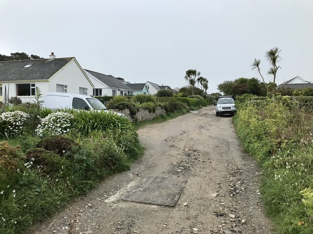
Little Porth is a charming coastal village located in Cornwall, England. Situated on the southern coast of the county, it overlooks the English Channel and offers breathtaking views of the Atlantic Ocean. With a population of approximately 500 residents, it maintains a small and tight-knit community.
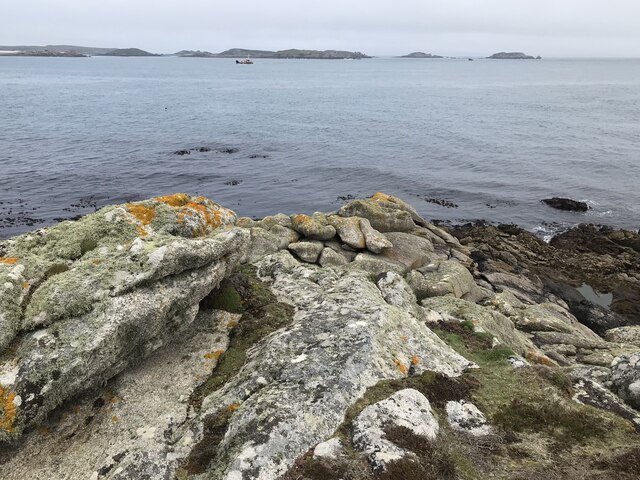
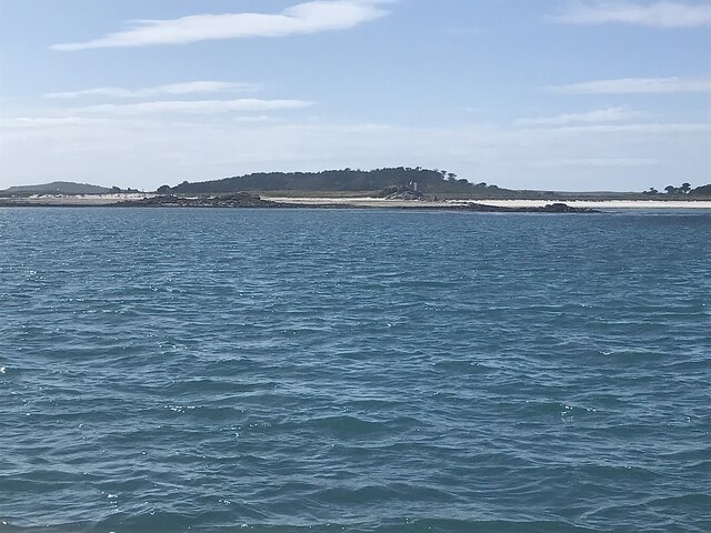
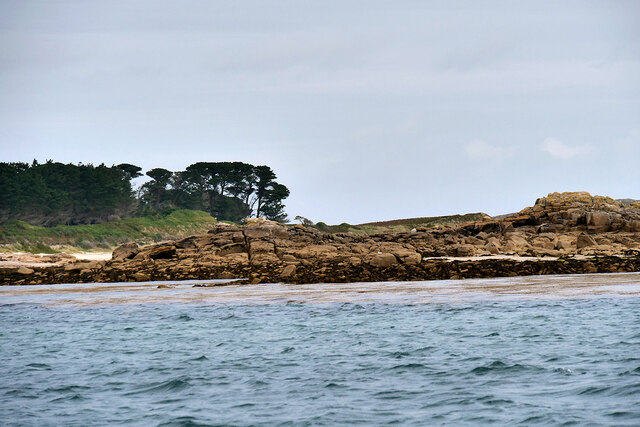
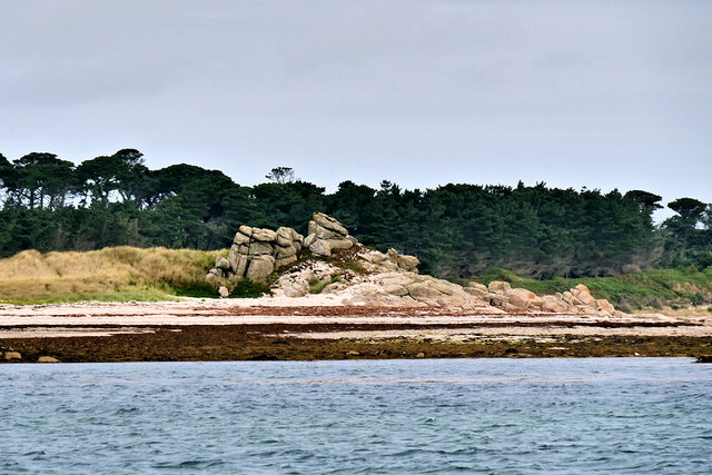
The village is renowned for its picturesque sandy beach, which is a popular destination for locals and tourists alike. The golden sands stretch for around half a mile and provide an ideal spot for sunbathing, picnicking, and building sandcastles. The crystal-clear waters are perfect for swimming, surfing, and other water sports, attracting enthusiasts from far and wide.
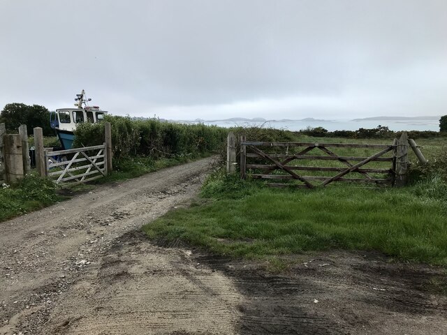
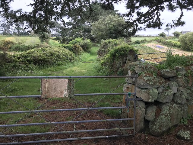
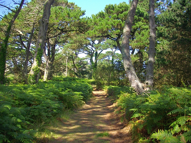
Little Porth is also known for its stunning coastal walks, providing panoramic views of the rugged cliffs and dramatic scenery. The South West Coast Path passes through the village, allowing visitors to explore the surrounding areas and discover hidden coves and secluded beaches.
In terms of amenities, Little Porth offers a range of local shops, quaint cafes, and traditional pubs. Visitors can enjoy freshly caught seafood, indulge in Cornish pasties, or savor a traditional cream tea.
The village has a rich history, with remnants of its fishing heritage still visible today. The small harbor is a nod to its past, with fishing boats bobbing in the water and providing a glimpse into the village's maritime traditions.
Overall, Little Porth is a captivating destination that combines natural beauty, outdoor activities, and a sense of community, making it an ideal place to relax and immerse oneself in the charm of Cornwall.
If you have any feedback on the listing, please let us know in the comments section below.
Little Porth Images
Images are sourced within 2km of 49.93664/-6.2949308 or Grid Reference SV9112. Thanks to Geograph Open Source API. All images are credited.


Little Porth is located at Grid Ref: SV9112 (Lat: 49.93664, Lng: -6.2949308)
Division: Isles of Scilly
Unitary Authority: Isles of Scilly
Police Authority: Devon and Cornwall
What 3 Words
///fishnet.endearing.flashback. Near St Mary's, Isles of Scilly
Nearby Locations
Related Wikis

Innisidgen
Innisidgen (Cornish: Enys Ojyon, meaning Ox Island) is the site of two Bronze Age entrance graves on the island of St Mary's in the Isles of Scilly. The...
Trenoweth, Isles of Scilly
Trenoweth (; Cornish: Trenoweth "new town") is a small settlement, located in the north of the island of St Mary's in the Isles of Scilly, Cornwall, England...

Watermill Cove
Watermill Cove is on the north–east coast of St Mary's, Isles of Scilly. It is a historic anchorage, still used today by passing yachts and other small...
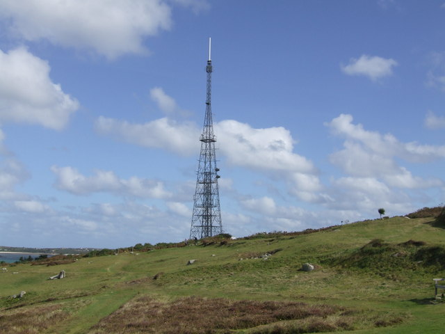
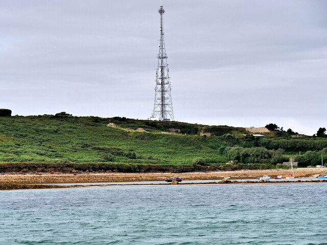
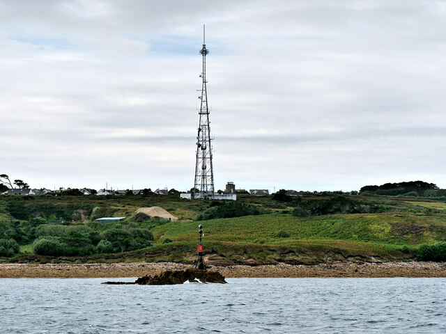
Halangy Down transmitter
The Halangy Down transmitter on St Mary's, Isles of Scilly is a 500-watt FM radio and television transmitter with a 76.2 metres (250 ft) high steel lattice...
Nearby Amenities
Located within 500m of 49.93664,-6.2949308Have you been to Little Porth?
Leave your review of Little Porth below (or comments, questions and feedback).