Wras
Coastal Feature, Headland, Point in Cornwall
England
Wras

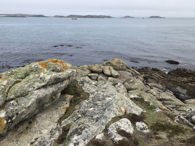
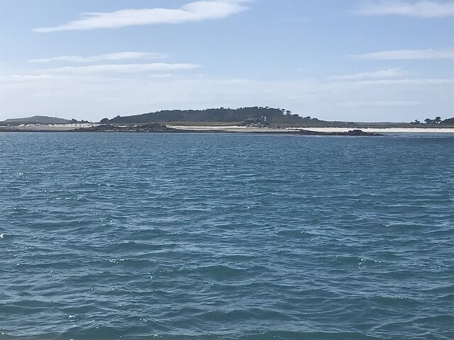
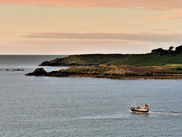
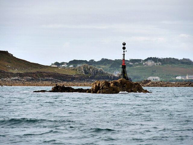
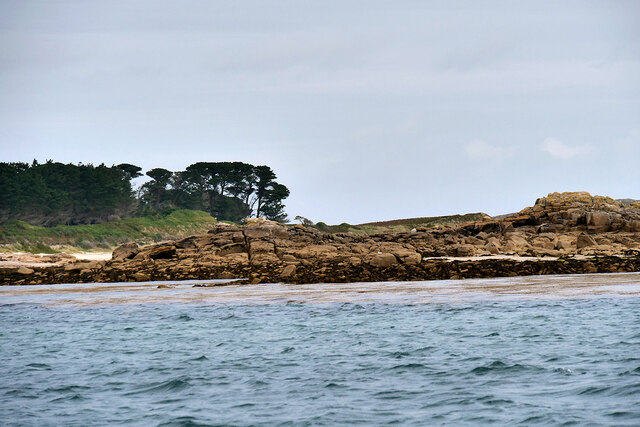
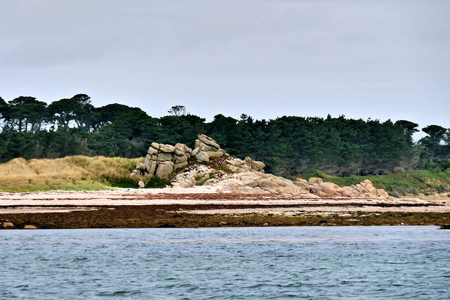
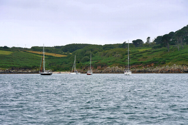
Wras is a picturesque headland located in Cornwall, England. Situated along the rugged coastline, it serves as a prominent coastal feature that attracts visitors from near and far. With its stunning cliffs, dramatic views, and rich history, Wras is a popular destination for nature enthusiasts, hikers, and history buffs alike.
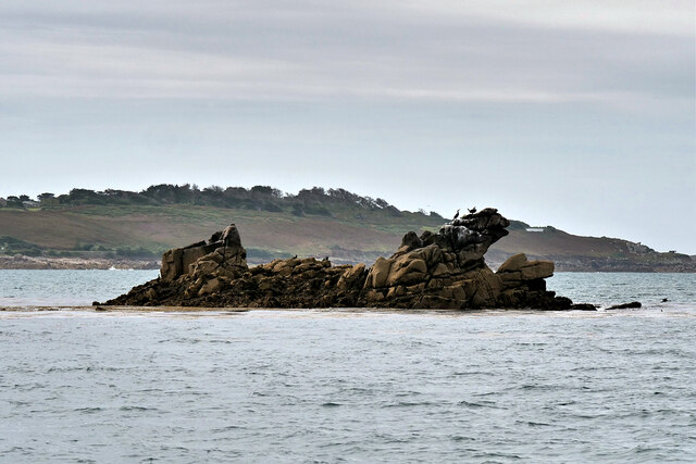
The headland is characterized by its towering cliffs, which reach heights of up to 200 feet above sea level. These cliffs offer breathtaking panoramic views of the surrounding coastline and the vast expanse of the Atlantic Ocean. The rugged landscape is dotted with small coves and rocky outcrops, creating a diverse and visually striking terrain.
Wras is renowned for its diverse wildlife and is home to a wide range of seabirds, including puffins, gannets, and fulmars. These birds can often be spotted nesting on the cliffs, adding to the area's natural beauty and ecological significance.
In addition to its natural wonders, Wras boasts a rich historical heritage. The headland is home to several ancient ruins, including the remains of an Iron Age fort and a medieval chapel. These historical sites provide a glimpse into the area's past and offer visitors a chance to explore its cultural significance.
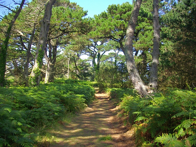
Wras is easily accessible by foot, with a number of walking trails and footpaths leading to the headland. Visitors can enjoy leisurely walks along the cliffs, taking in the stunning scenery and immersing themselves in the tranquility of the coastal surroundings.
Overall, Wras is a captivating coastal feature that offers a unique blend of natural beauty and historical intrigue. Its rugged cliffs, diverse wildlife, and rich heritage make it a must-visit destination for anyone exploring the stunning coastline of Cornwall.
If you have any feedback on the listing, please let us know in the comments section below.
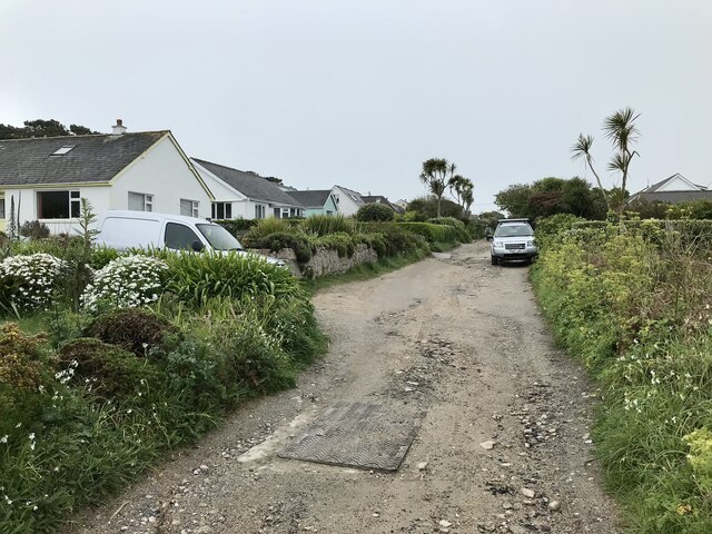
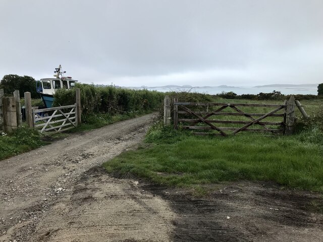
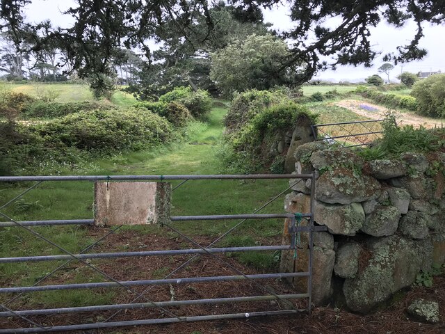
Wras Images
Images are sourced within 2km of 49.936265/-6.3035689 or Grid Reference SV9112. Thanks to Geograph Open Source API. All images are credited.


Wras is located at Grid Ref: SV9112 (Lat: 49.936265, Lng: -6.3035689)
Division: Isles of Scilly
Unitary Authority: Isles of Scilly
Police Authority: Devon and Cornwall
What 3 Words
///confused.reckons.stick. Near St Mary's, Isles of Scilly
Nearby Locations
Related Wikis
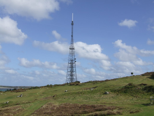
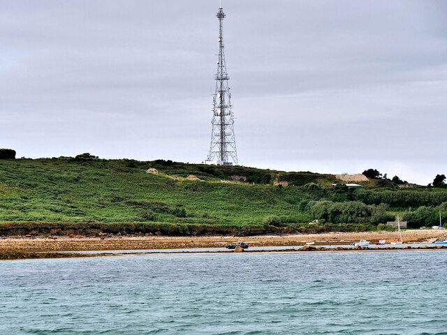
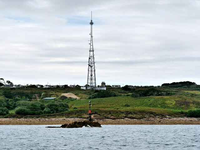
Halangy Down transmitter
The Halangy Down transmitter on St Mary's, Isles of Scilly is a 500-watt FM radio and television transmitter with a 76.2 metres (250 ft) high steel lattice...
Trenoweth, Isles of Scilly
Trenoweth (; Cornish: Trenoweth "new town") is a small settlement, located in the north of the island of St Mary's in the Isles of Scilly, Cornwall, England...

Telegraph, Isles of Scilly
Telegraph (Cornish: Brebellskrif) is a settlement on St Mary's, the largest of the Isles of Scilly, England. Telegraph is located in the north west of...
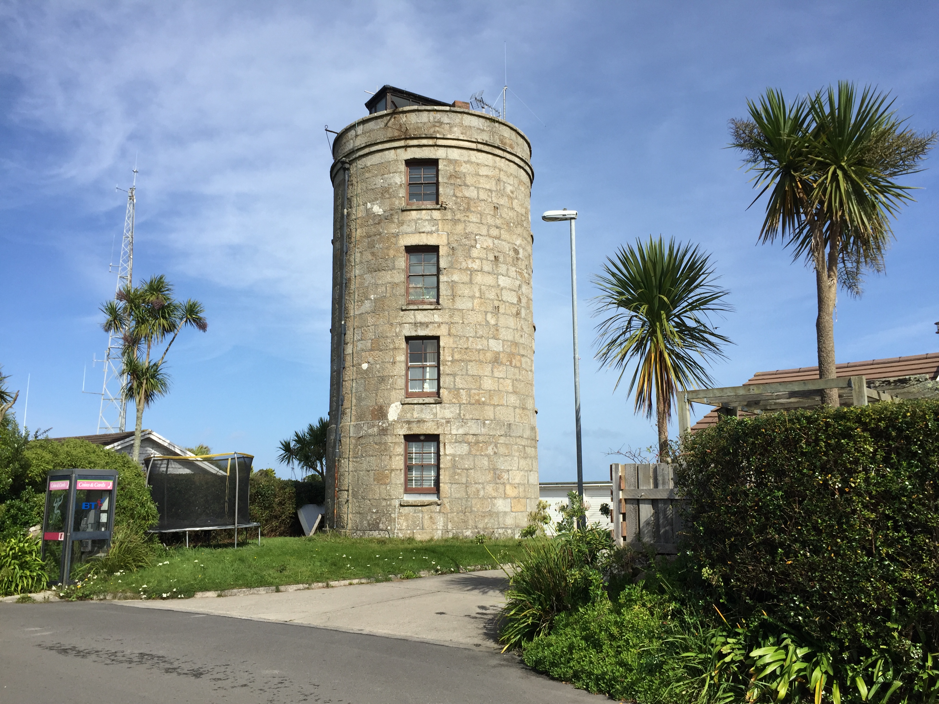
Coastguard's Lookout Tower
Coastguard’s Lookout Tower, now known as Telegraph Tower, is a Grade II listed structure built around 1814-16 on St Mary's, Isles of Scilly as a Signal...
Nearby Amenities
Located within 500m of 49.936265,-6.3035689Have you been to Wras?
Leave your review of Wras below (or comments, questions and feedback).