Long Rock Down
Downs, Moorland in Cornwall
England
Long Rock Down

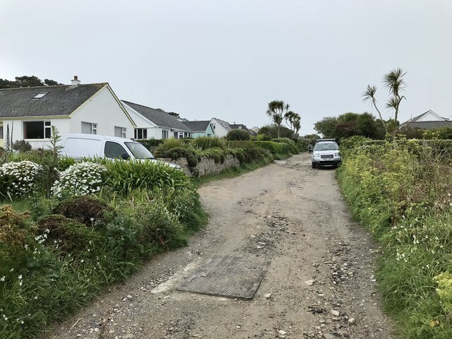
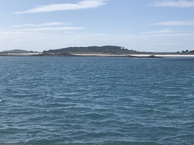
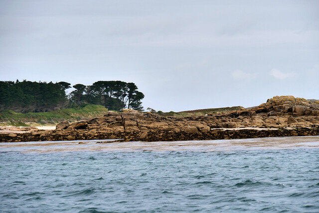
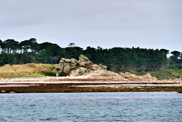
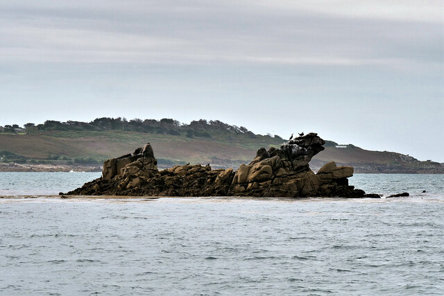
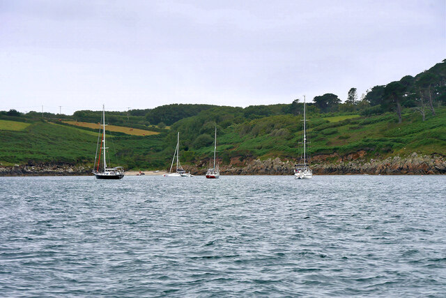
Long Rock Down is a scenic area located in Cornwall, England. Situated near the village of Long Rock, it offers breathtaking views of the surrounding landscape. The downs, moorland, and coastal scenery make it a popular spot for both locals and tourists alike.
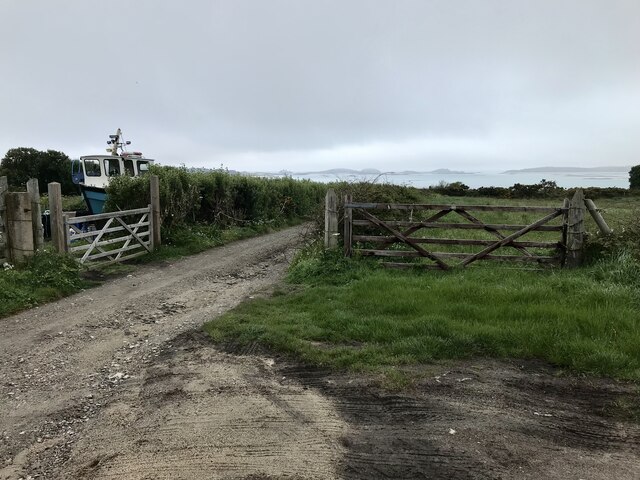
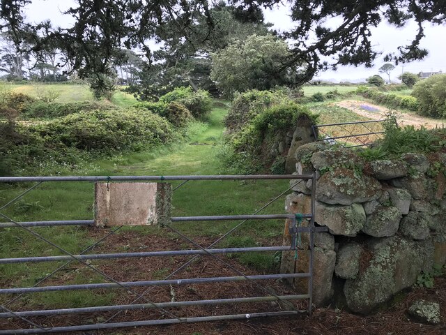
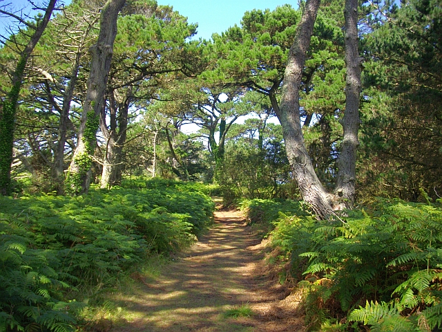
The area is characterized by rolling hills and vast stretches of open land, providing ample opportunities for outdoor activities such as hiking, walking, and bird-watching. The extensive network of footpaths and trails allows visitors to explore and immerse themselves in the natural beauty of the region.
Long Rock Down is also known for its rich biodiversity. The moorland is home to a variety of plant species, including heather, gorse, and various grasses, providing a vibrant and colorful landscape throughout the year. This diversity also attracts a wide range of wildlife, including birds of prey, such as kestrels and buzzards, as well as smaller birds like skylarks.
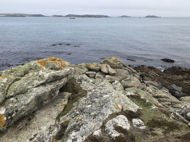
The panoramic views from Long Rock Down are particularly outstanding. On clear days, visitors can see the vast expanse of the Atlantic Ocean, as well as nearby landmarks such as St. Michael's Mount and the Lizard Peninsula. The ever-changing weather conditions contribute to the dramatic and dynamic atmosphere of the area.
Overall, Long Rock Down offers a tranquil and awe-inspiring experience for nature enthusiasts. Its stunning vistas, diverse flora and fauna, and accessibility make it an ideal location for those seeking a true taste of Cornwall's natural beauty.
If you have any feedback on the listing, please let us know in the comments section below.
Long Rock Down Images
Images are sourced within 2km of 49.932397/-6.3023316 or Grid Reference SV9112. Thanks to Geograph Open Source API. All images are credited.


Long Rock Down is located at Grid Ref: SV9112 (Lat: 49.932397, Lng: -6.3023316)
Division: Isles of Scilly
Unitary Authority: Isles of Scilly
Police Authority: Devon and Cornwall
What 3 Words
///award.resembles.craftsman. Near St Mary's, Isles of Scilly
Nearby Locations
Related Wikis
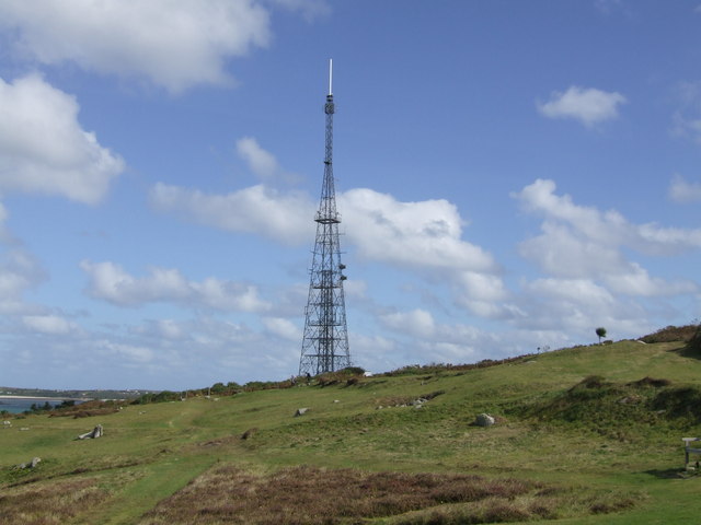
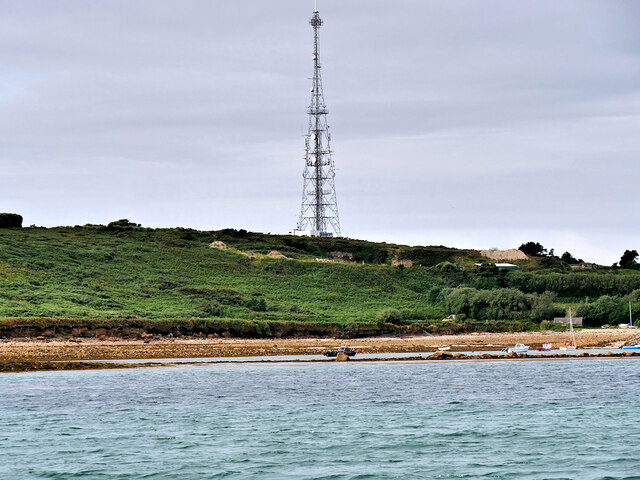
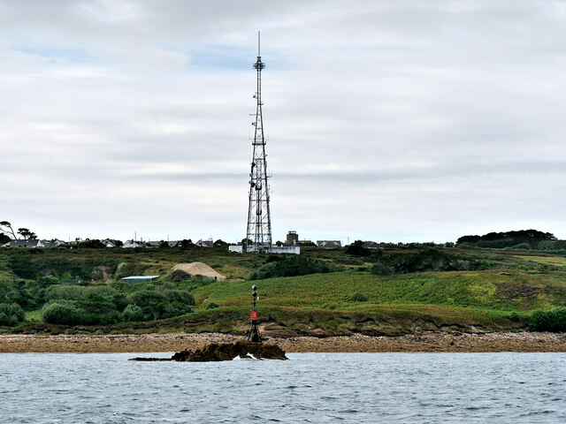
Halangy Down transmitter
The Halangy Down transmitter on St Mary's, Isles of Scilly is a 500-watt FM radio and television transmitter with a 76.2 metres (250 ft) high steel lattice...

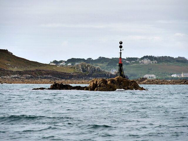
Telegraph, Isles of Scilly
Telegraph (Cornish: Brebellskrif) is a settlement on St Mary's, the largest of the Isles of Scilly, England. Telegraph is located in the north west of...
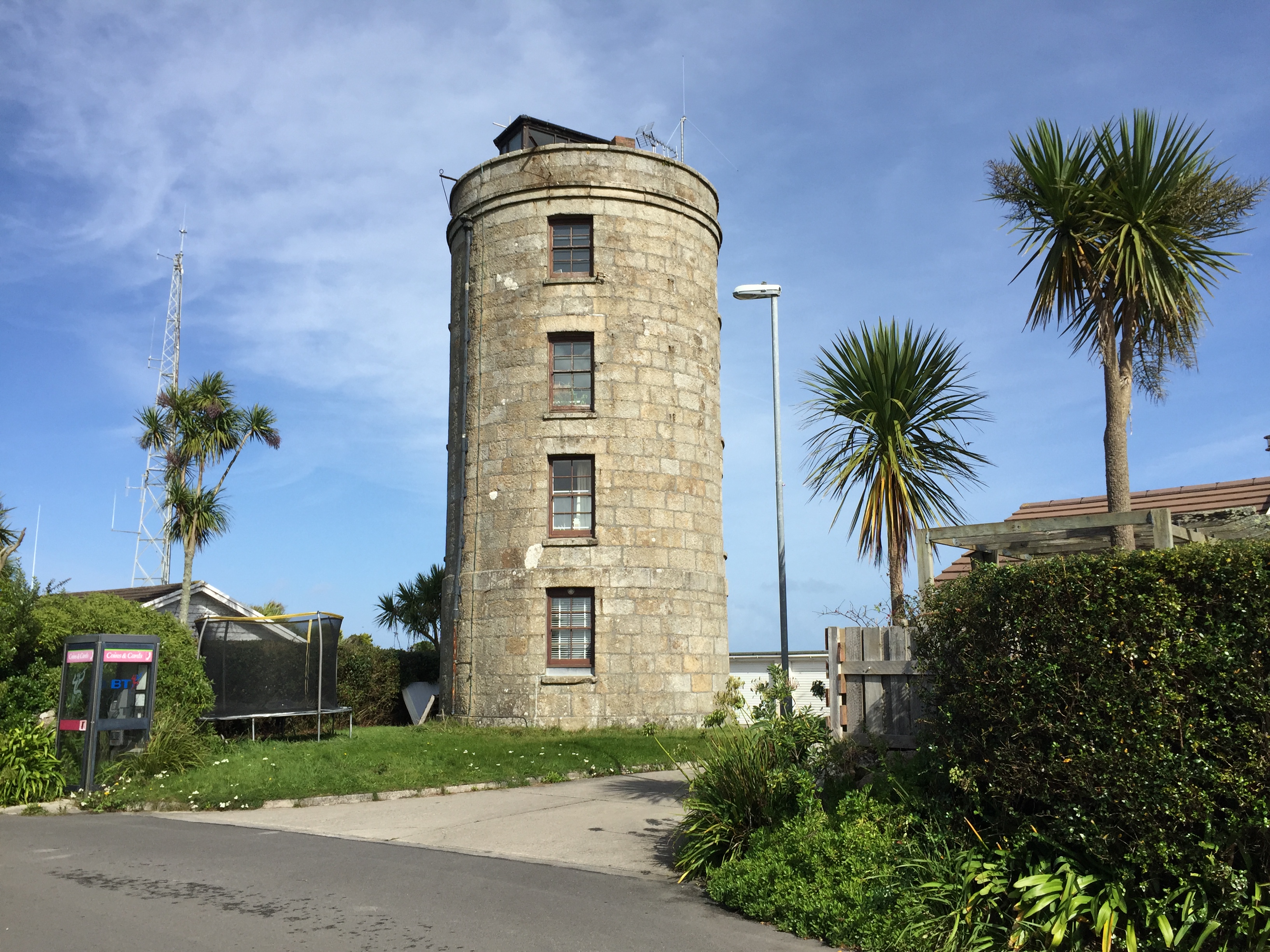
Coastguard's Lookout Tower
Coastguard’s Lookout Tower, now known as Telegraph Tower, is a Grade II listed structure built around 1814-16 on St Mary's, Isles of Scilly as a Signal...
Trenoweth, Isles of Scilly
Trenoweth (; Cornish: Trenoweth "new town") is a small settlement, located in the north of the island of St Mary's in the Isles of Scilly, Cornwall, England...
Nearby Amenities
Located within 500m of 49.932397,-6.3023316Have you been to Long Rock Down?
Leave your review of Long Rock Down below (or comments, questions and feedback).