Halangy Down
Downs, Moorland in Cornwall
England
Halangy Down

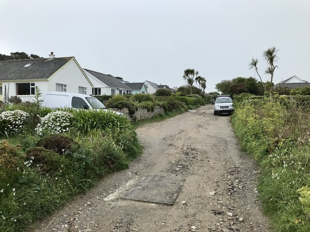
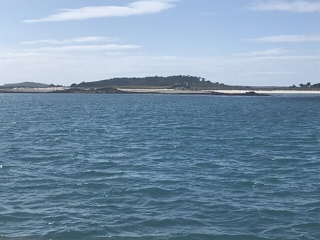
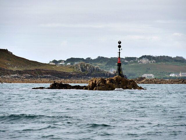
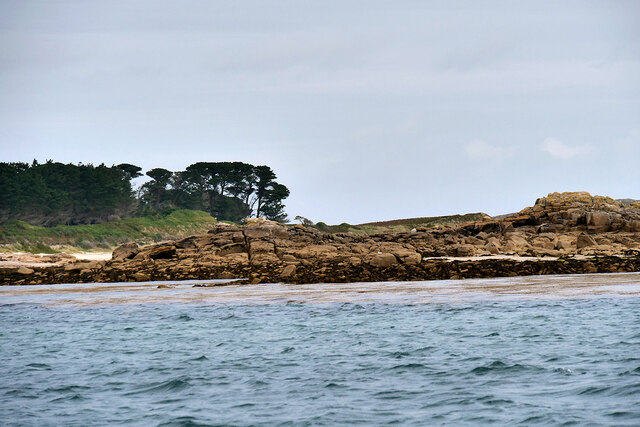
Halangy Down is a prominent downs and moorland area located in Cornwall, England. Situated on the southwest coast, it offers stunning panoramic views of the surrounding landscape and the Atlantic Ocean. Covering a vast expanse of approximately 800 acres, Halangy Down is known for its diverse range of habitats, making it a haven for wildlife enthusiasts and nature lovers.
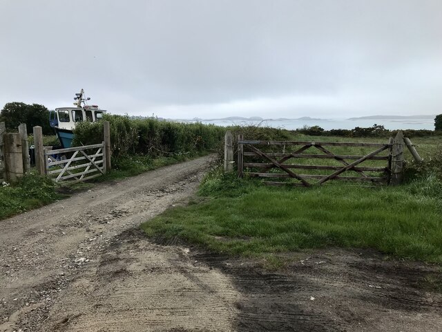
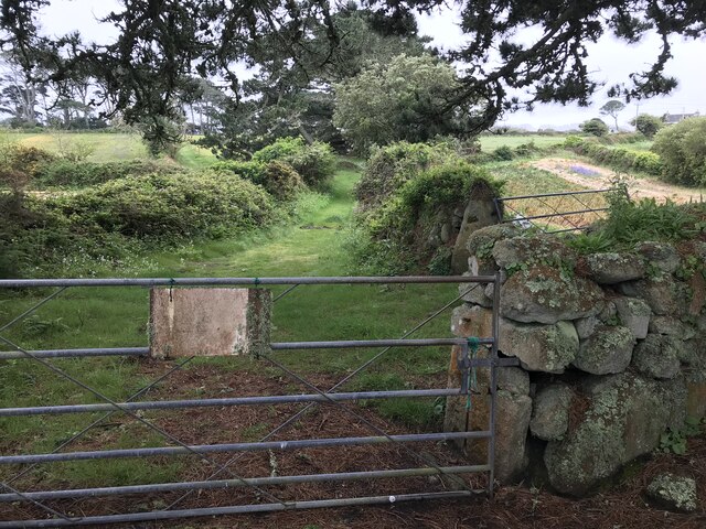
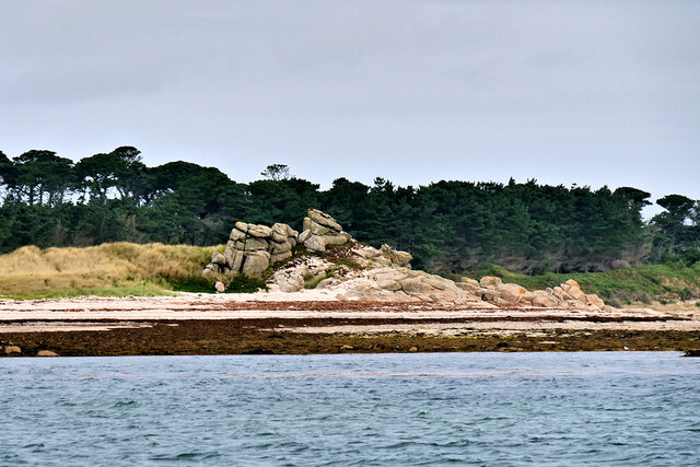
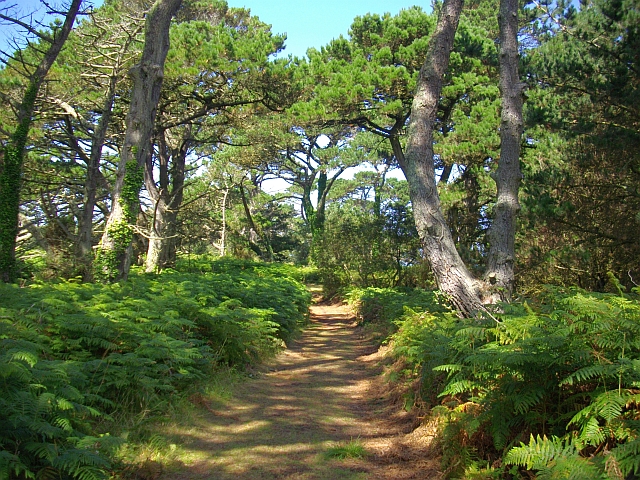
The downs portion of Halangy Down is characterized by its gently rolling hills, covered in lush green grasses and scattered with a variety of wildflowers. These open grasslands provide an ideal habitat for numerous bird species, including skylarks and meadow pipits, which can often be seen soaring above the landscape. The area is also home to a number of rare plant species, such as the Cornish eyebright and the hairy greenweed.
Moving further into the moorland section of Halangy Down, the landscape transforms into a more rugged and rocky terrain. Here, granite outcrops and boulders dominate, creating a unique and picturesque setting. This part of the downs is home to a variety of heather species, including the vibrant purple bell heather, which blooms in late summer.
Halangy Down is also known for its historical significance, with evidence of ancient settlements and burial mounds dating back to the Neolithic and Bronze Age periods. The most notable archaeological feature is the Halangy Down Ancient Village, an Iron Age settlement that offers a fascinating glimpse into the lives of early Cornish inhabitants.
Overall, Halangy Down in Cornwall boasts a rich natural and cultural heritage, making it a must-visit destination for those seeking tranquility, breathtaking views, and a deeper connection to the past.
If you have any feedback on the listing, please let us know in the comments section below.
Halangy Down Images
Images are sourced within 2km of 49.931623/-6.3061937 or Grid Reference SV9112. Thanks to Geograph Open Source API. All images are credited.


Halangy Down is located at Grid Ref: SV9112 (Lat: 49.931623, Lng: -6.3061937)
Division: Isles of Scilly
Unitary Authority: Isles of Scilly
Police Authority: Devon and Cornwall
What 3 Words
///press.lashed.exporters. Near St Mary's, Isles of Scilly
Nearby Locations
Related Wikis
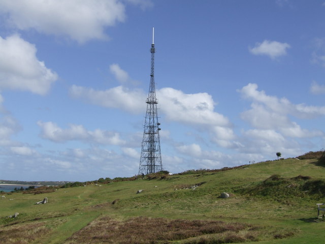
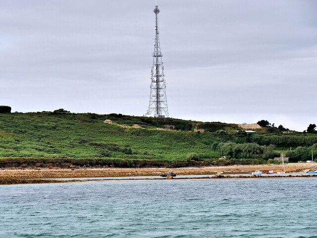
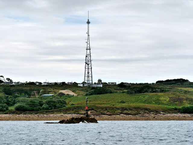
Halangy Down transmitter
The Halangy Down transmitter on St Mary's, Isles of Scilly is a 500-watt FM radio and television transmitter with a 76.2 metres (250 ft) high steel lattice...

Telegraph, Isles of Scilly
Telegraph (Cornish: Brebellskrif) is a settlement on St Mary's, the largest of the Isles of Scilly, England. Telegraph is located in the north west of...
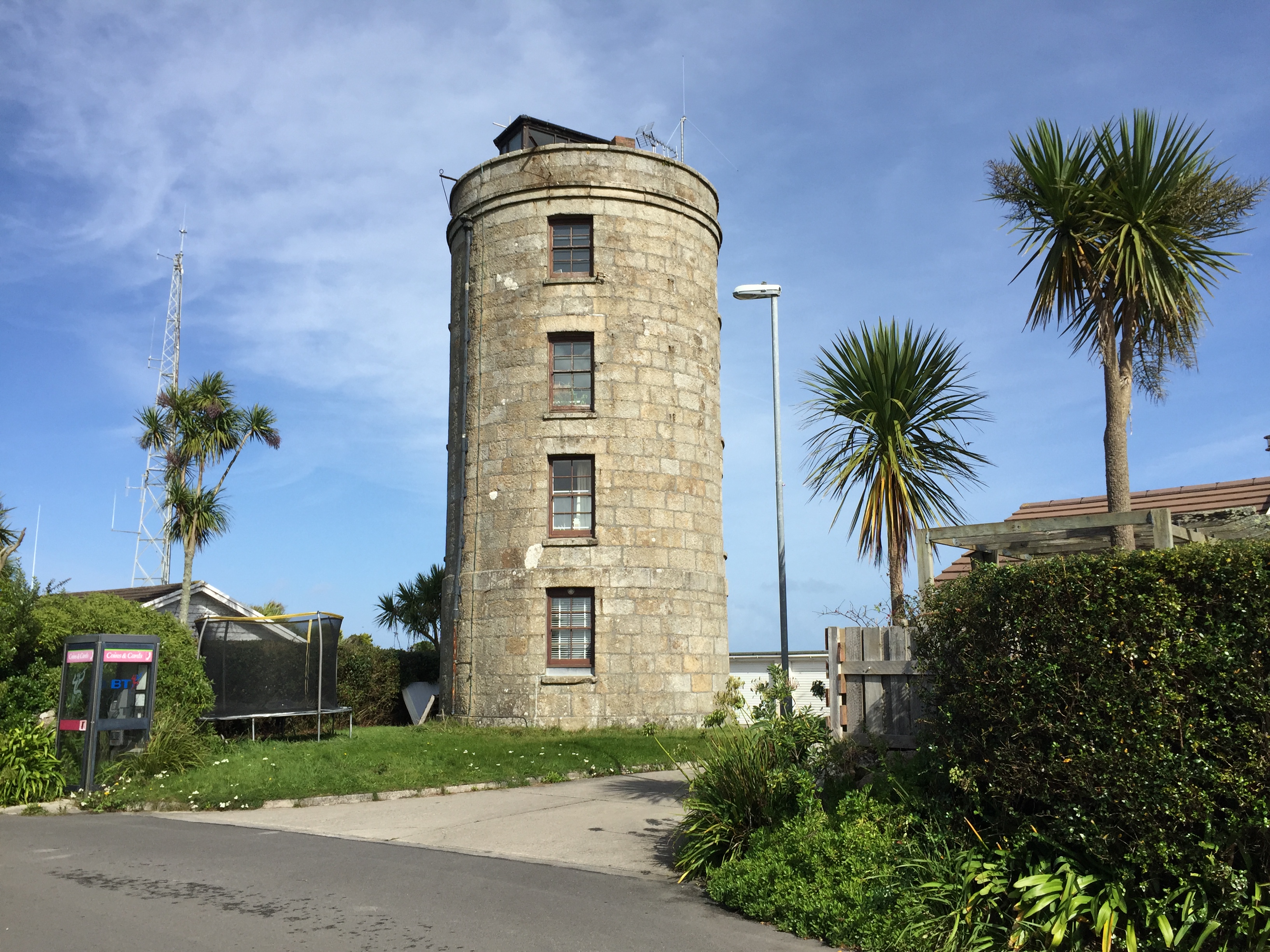
Coastguard's Lookout Tower
Coastguard’s Lookout Tower, now known as Telegraph Tower, is a Grade II listed structure built around 1814-16 on St Mary's, Isles of Scilly as a Signal...
Trenoweth, Isles of Scilly
Trenoweth (; Cornish: Trenoweth "new town") is a small settlement, located in the north of the island of St Mary's in the Isles of Scilly, Cornwall, England...
Nearby Amenities
Located within 500m of 49.931623,-6.3061937Have you been to Halangy Down?
Leave your review of Halangy Down below (or comments, questions and feedback).