Houll of Challister
Coastal Feature, Headland, Point in Shetland
Scotland
Houll of Challister
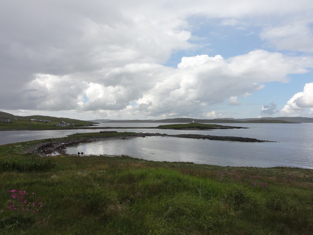
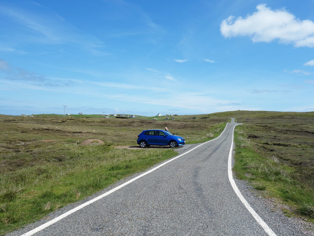
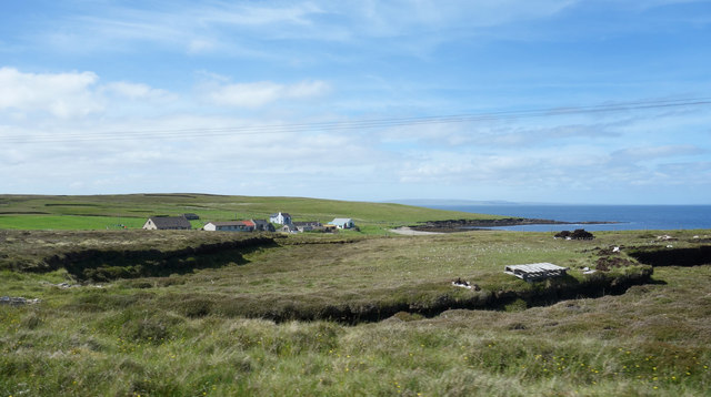
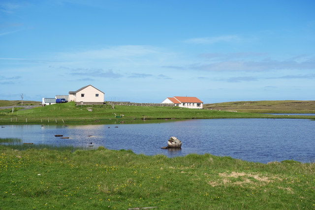
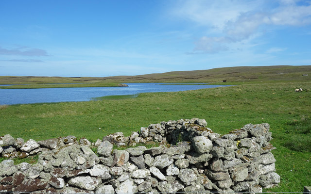
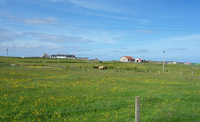
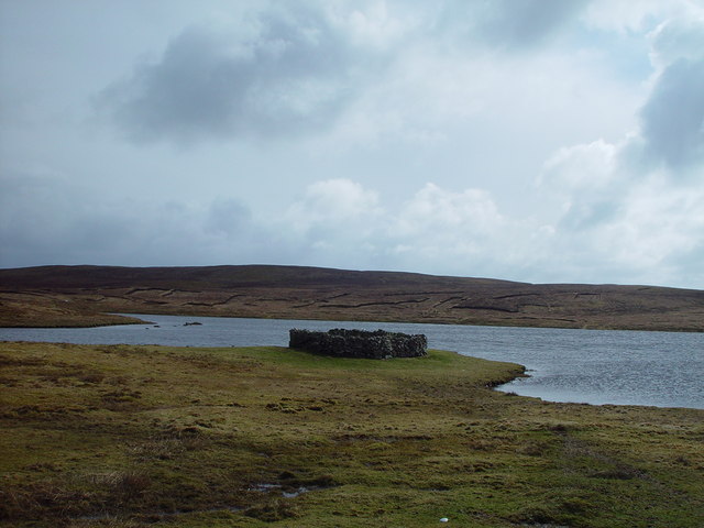
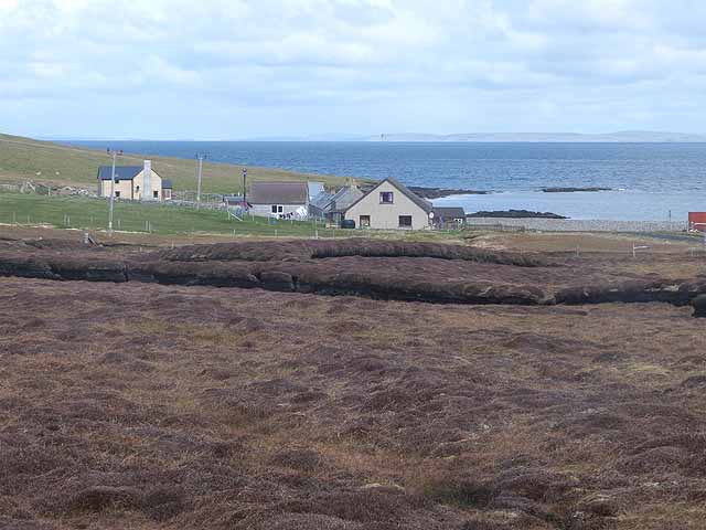
Houll of Challister is a prominent coastal feature located in the Shetland Islands, Scotland. It is a headland that extends into the North Sea, forming a distinct point along the coastline. The name "Houll" is derived from the Old Norse term meaning "hill" or "promontory," which aptly describes the geography of this unique landscape.
Situated on the western coast of the mainland, Houll of Challister is characterized by its rugged cliffs, which rise dramatically from the sea. These cliffs showcase stunning rock formations, including layers of sedimentary rocks that have been shaped over centuries by the relentless force of the ocean waves.
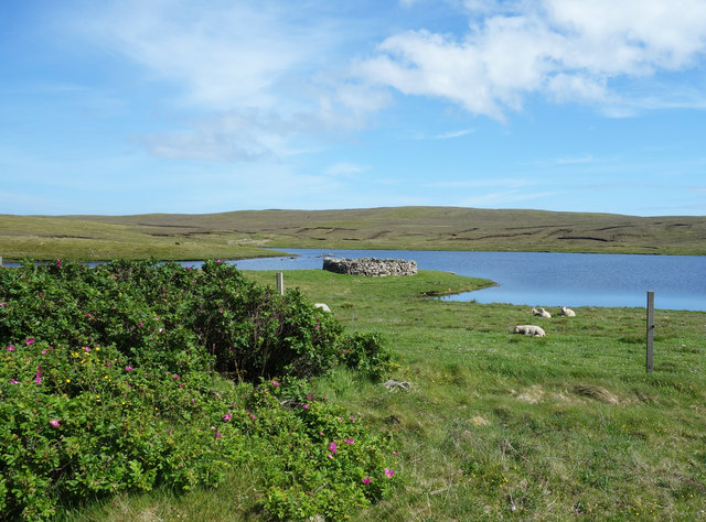
The headland is home to a diverse array of wildlife, making it a popular destination for nature enthusiasts and birdwatchers. Visitors can spot a variety of seabirds nesting on the cliffs, including puffins, guillemots, and fulmars. The surrounding waters are also frequented by seals, dolphins, and even occasional sightings of whales.
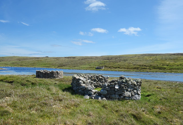
In addition to its natural beauty, the area holds historical significance. The remains of an Iron Age broch, an ancient circular stone tower, can be found near the headland. This archaeological site provides insight into the island's rich cultural past.
Overall, the Houll of Challister stands as a breathtaking coastal feature, combining stunning geological formations, diverse wildlife, and a glimpse into the island's history. It is a must-visit destination for those seeking a unique and immersive experience in the Shetland Islands.
If you have any feedback on the listing, please let us know in the comments section below.
Houll of Challister Images
Images are sourced within 2km of 60.369737/-0.98012125 or Grid Reference HU5665. Thanks to Geograph Open Source API. All images are credited.


Houll of Challister is located at Grid Ref: HU5665 (Lat: 60.369737, Lng: -0.98012125)
Unitary Authority: Shetland Islands
Police Authority: Highlands and Islands
What 3 Words
///sunbeam.fire.cheer. Near Symbister, Shetland Islands
Nearby Locations
Related Wikis
Challister
Challister is a crofting township and ward in northwestern Whalsay in the parish of Nesting in the Shetland islands of Scotland. Loch Vats-houll is in...
Vats-houll
Vats-houll is a settlement in northwestern Whalsay in the parish of Nesting in the Shetland islands of Scotland. The village overlooks the loch of the...

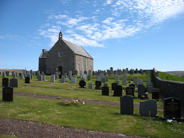
Whalsay Parish Church
Whalsay Parish Church or Whalsay Kirk is a Church of Scotland parish church on the island of Whalsay, Shetland Islands, Scotland. It lies to the north...

Brough, Shetland
Brough is a settlement in western Whalsay in the parish of Nesting in the Shetland islands of Scotland. It lies to the southwest of Challister, northeast...

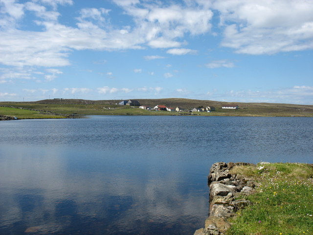
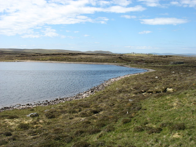
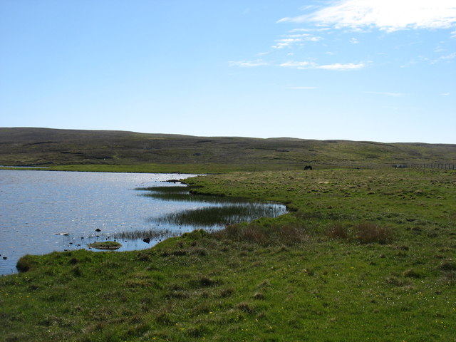
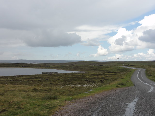
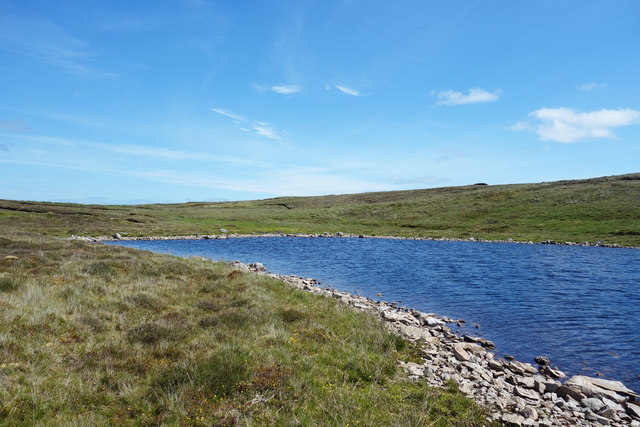
Loch of Houll
Loch of Houll is a loch on Whalsay, one of the Shetland islands of Scotland. It is located to the southeast of Brough and on the eastern side of Setter...

Tripwell
Tripwell is a hamlet in western Whalsay in the parish of Nesting in the Shetland islands of Scotland. It is located to the south of the village of Brough...
Vaivoe
Vaivoe is a hamlet in the northwestern Whalsay in the parish of Nesting in the Shetland Islands of Scotland. It overlooks the bay of Vai Voe, just to the...

West Loch of Skaw
West Loch of Skaw is a loch of northern-central Whalsay, Shetland Islands, Scotland, to the southwest of the village of Skaw, Whalsay. == References ==
Nearby Amenities
Located within 500m of 60.369737,-0.98012125Have you been to Houll of Challister?
Leave your review of Houll of Challister below (or comments, questions and feedback).