Vats-houll Voe
Sea, Estuary, Creek in Shetland
Scotland
Vats-houll Voe
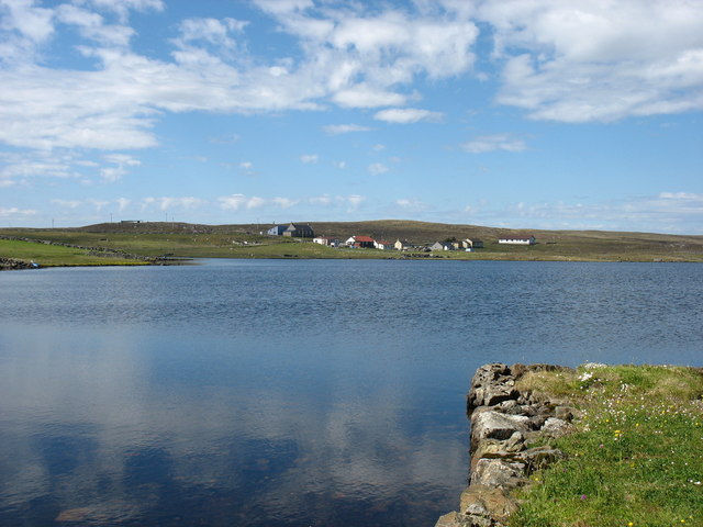
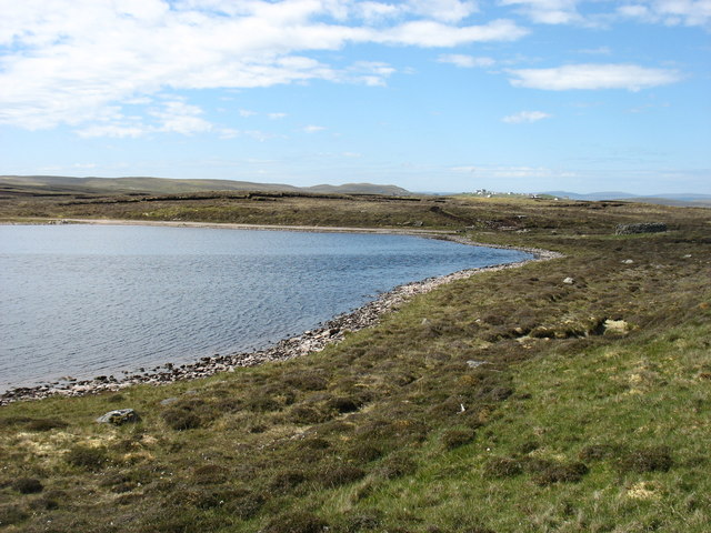
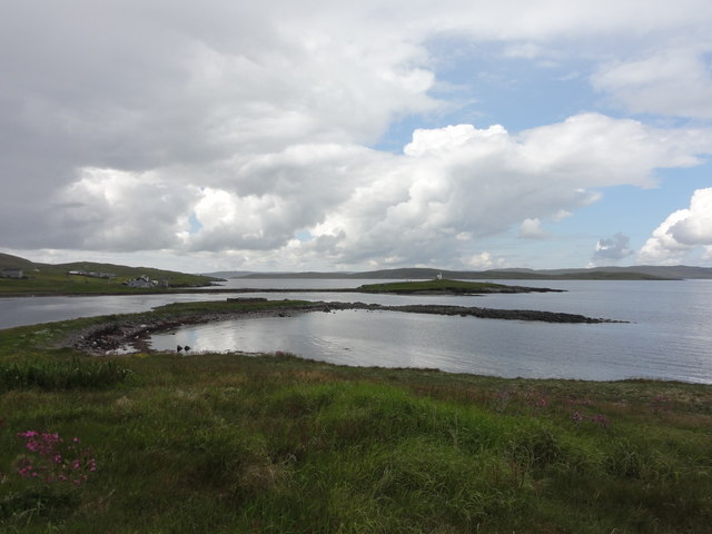
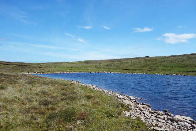
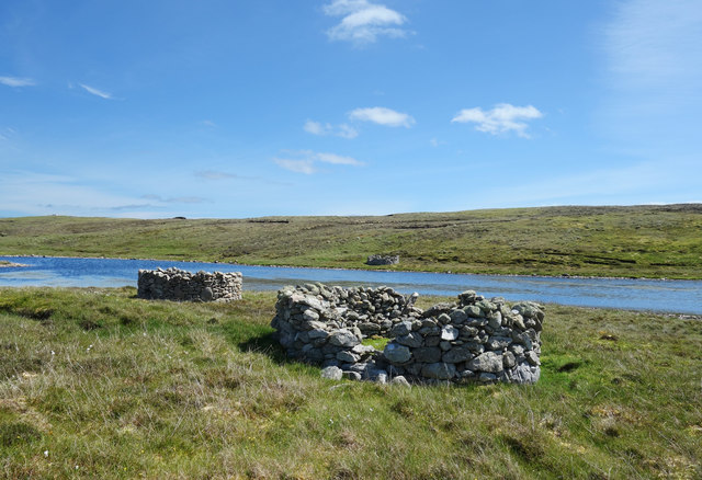
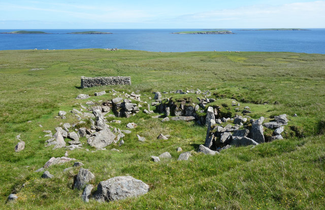
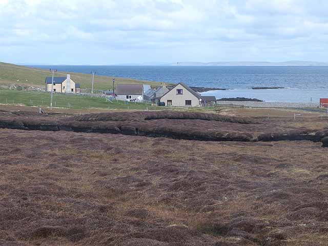
Vats-houll Voe is a picturesque coastal inlet located in the Shetland Islands, an archipelago in Scotland. This natural feature is a sea loch, also referred to as an estuary or creek, and is situated on the west coast of the mainland Shetland. The name "Vats-houll Voe" is derived from Old Norse and translates to "the bay of the house at the water-filled hollow."
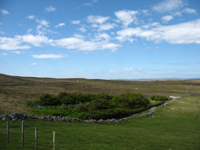
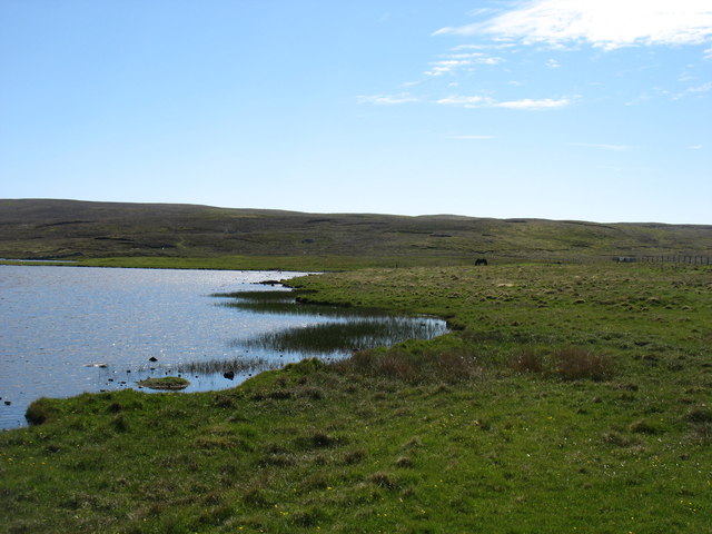
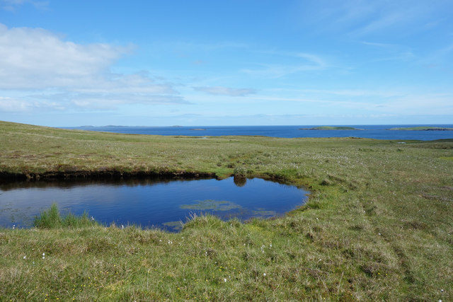
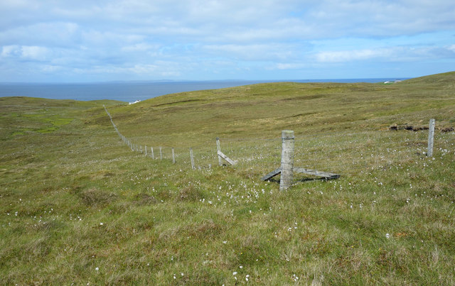
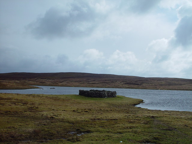
The Voe stretches approximately 2.5 miles inland and is surrounded by rolling hills and rocky cliffs, creating a stunning backdrop. The water in the Voe is a mix of seawater and freshwater, as it is influenced by both the North Atlantic Ocean and nearby freshwater streams. This blend of waters creates a unique ecosystem that supports a rich variety of marine life.
The Voe is known for its diverse wildlife, including seals, otters, and various bird species such as puffins, gannets, and oystercatchers. Additionally, the surrounding area is home to several important seabird colonies, making it a popular destination for birdwatching enthusiasts.
The Vats-houll Voe is also a significant location for boating and fishing activities. Its sheltered waters provide a safe haven for small boats, and the area is frequented by anglers who come to fish for salmon, trout, and other species that inhabit the Voe.
Overall, Vats-houll Voe is a stunning natural feature that offers breathtaking views, diverse wildlife, and recreational opportunities for visitors to the Shetland Islands.
If you have any feedback on the listing, please let us know in the comments section below.
Vats-houll Voe Images
Images are sourced within 2km of 60.373041/-0.97191221 or Grid Reference HU5665. Thanks to Geograph Open Source API. All images are credited.


Vats-houll Voe is located at Grid Ref: HU5665 (Lat: 60.373041, Lng: -0.97191221)
Unitary Authority: Shetland Islands
Police Authority: Highlands and Islands
What 3 Words
///lordship.grinning.fetches. Near Symbister, Shetland Islands
Nearby Locations
Related Wikis
Vats-houll
Vats-houll is a settlement in northwestern Whalsay in the parish of Nesting in the Shetland islands of Scotland. The village overlooks the loch of the...
Challister
Challister is a crofting township and ward in northwestern Whalsay in the parish of Nesting in the Shetland islands of Scotland. Loch Vats-houll is in...
Vaivoe
Vaivoe is a hamlet in the northwestern Whalsay in the parish of Nesting in the Shetland Islands of Scotland. It overlooks the bay of Vai Voe, just to the...

West Loch of Skaw
West Loch of Skaw is a loch of northern-central Whalsay, Shetland Islands, Scotland, to the southwest of the village of Skaw, Whalsay. == References ==

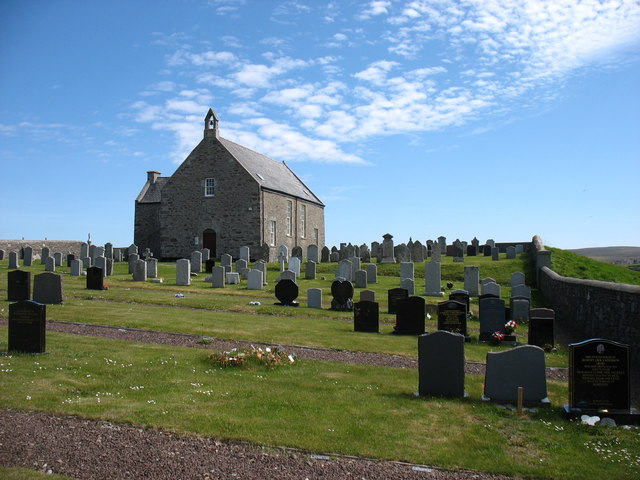
Whalsay Parish Church
Whalsay Parish Church or Whalsay Kirk is a Church of Scotland parish church on the island of Whalsay, Shetland Islands, Scotland. It lies to the north...

Brough, Shetland
Brough is a settlement in western Whalsay in the parish of Nesting in the Shetland islands of Scotland. It lies to the southwest of Challister, northeast...

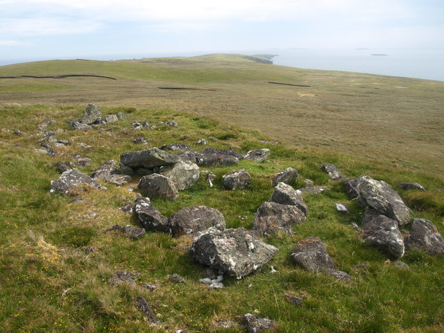
Pettigarths Field Cairns
The Pettigarths Field Cairns is a Neolithic site in the parish of Nesting, northeastern Whalsay, in the Shetland islands of Scotland. It is located approximately...

Loch of Isbister
Loch of Isbister is a loch of Whalsay, Shetland Islands, Scotland, located on the northern side of Isbister on the eastern side of the island. == References ==
Nearby Amenities
Located within 500m of 60.373041,-0.97191221Have you been to Vats-houll Voe?
Leave your review of Vats-houll Voe below (or comments, questions and feedback).