Wharfe's Mouth Ness
Sea, Estuary, Creek in Yorkshire Selby
England
Wharfe's Mouth Ness

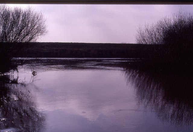
Wharfe's Mouth Ness is a prominent geographical feature located in Yorkshire, England, where the River Wharfe meets the North Sea. Nestled on the eastern coast of the county, this area is characterized by its unique blend of sea, estuary, and creek formations, making it a captivating destination for nature enthusiasts and tourists alike.
At Wharfe's Mouth Ness, the River Wharfe flows into the North Sea, creating a stunning estuary that showcases the dynamic interplay between freshwater and saltwater ecosystems. The estuary acts as a transitional zone, where the river's powerful flow gradually merges with the tides and currents of the sea. This convergence results in a rich and diverse habitat that supports an array of aquatic flora and fauna.
The area is also home to several creeks, which meander through the surrounding marshes and mudflats. These interconnected waterways provide a haven for various bird species, including wading birds, ducks, and geese, making it a popular spot for birdwatching.
Wharfe's Mouth Ness offers visitors the opportunity to explore its stunning coastal landscapes, with picturesque cliffs, sandy beaches, and rolling dunes. The rugged beauty of the area attracts hikers, nature lovers, and photographers, who can capture breathtaking views of the North Sea meeting the river's powerful flow.
In addition to its natural wonders, Wharfe's Mouth Ness is within close proximity to charming seaside villages and towns, offering visitors a chance to immerse themselves in the local culture and indulge in traditional seaside activities such as fishing, boating, and sampling freshly caught seafood.
Overall, Wharfe's Mouth Ness is a captivating destination that seamlessly merges the beauty of the sea, estuary, and creek environments. Its diverse ecosystems, stunning landscapes, and proximity to charming coastal communities make it a must-visit location in Yorkshire.
If you have any feedback on the listing, please let us know in the comments section below.
Wharfe's Mouth Ness Images
Images are sourced within 2km of 53.841404/-1.1330891 or Grid Reference SE5738. Thanks to Geograph Open Source API. All images are credited.


Wharfe's Mouth Ness is located at Grid Ref: SE5738 (Lat: 53.841404, Lng: -1.1330891)
Division: West Riding
Administrative County: North Yorkshire
District: Selby
Police Authority: North Yorkshire
What 3 Words
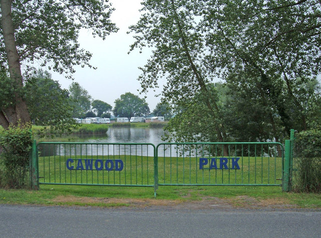
///spoiled.speedily.shops. Near Cawood, North Yorkshire
Nearby Locations
Related Wikis
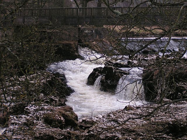
River Wharfe
The River Wharfe ( WHORF) is a river in Yorkshire, England originating within the Yorkshire Dales National Park. For much of its middle course it is the...

Cawood
Cawood (other names: Carwood) is a large village (formerly a market town) and civil parish in the Selby District of North Yorkshire, England that is notable...

Cawood Bridge
Cawood Bridge is a swing bridge which spans the Yorkshire River Ouse in North Yorkshire, England. Construction was authorised in 1870, with the formation...

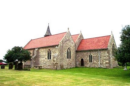
All Saints' Church, Cawood
All Saints' Church is the parish church of Cawood, a village in North Yorkshire between York and Selby. == History == The oldest part of the church is...
Cawood Castle
Cawood Castle is a grade I listed building in Cawood, a village in North Yorkshire, England. The surviving fifteenth-century structures formed part of...

Cawood railway station
Cawood was the northern terminus of the short Cawood, Wistow and Selby Light Railway (CW&SLR), in rural North Yorkshire, England. The line was connected...

Ryther cum Ossendyke
Ryther cum Ossendyke is a civil parish 6 miles (9.7 km) from Tadcaster and 6 miles (9.7 km) from Selby, North Yorkshire, England. It includes the village...

All Saints' Church, Ryther
All Saints' Church is the parish church of Ryther cum Ossendyke, a village north-west of Selby in Yorkshire, in England. The church was originally built...
Nearby Amenities
Located within 500m of 53.841404,-1.1330891Have you been to Wharfe's Mouth Ness?
Leave your review of Wharfe's Mouth Ness below (or comments, questions and feedback).