Bratti Geo

Coastal Feature, Headland, Point in Shetland

Scotland

Bratti Geo

Loch Isbister
Loch Isbister Credit: David Purchase

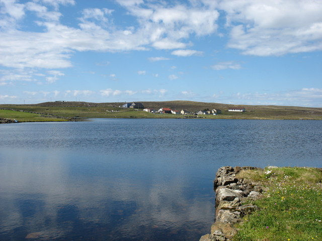
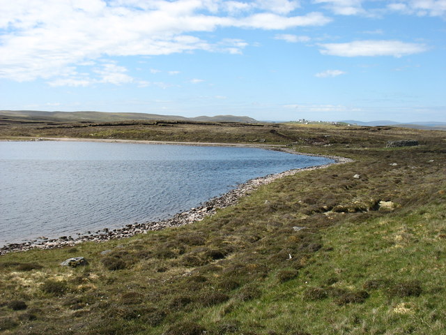
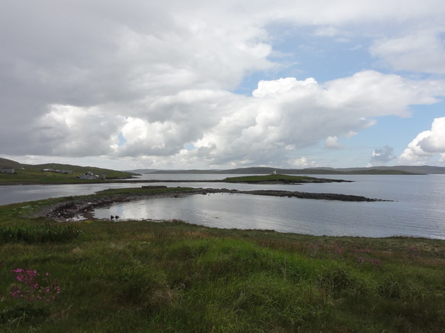
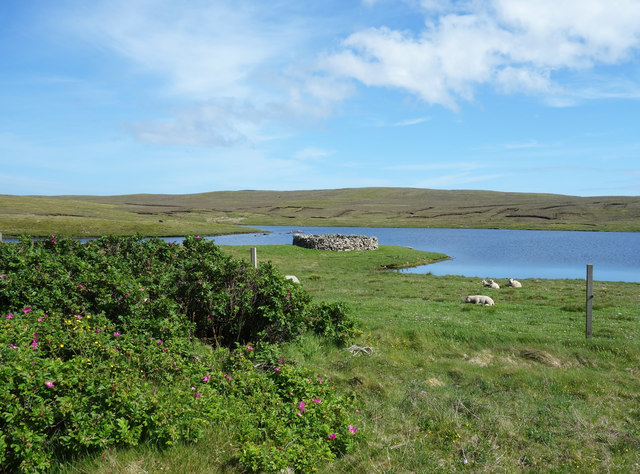
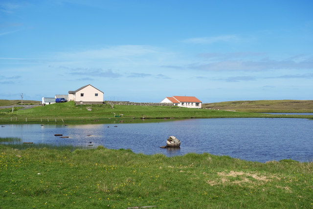
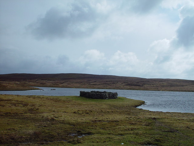
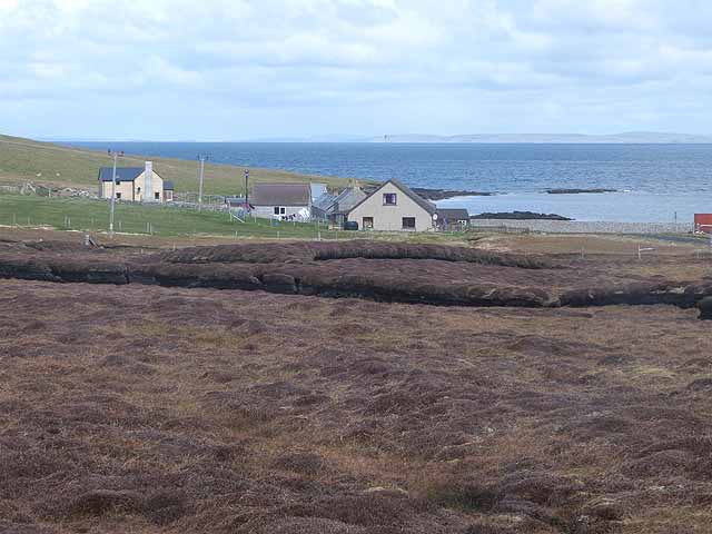
Bratti Geo is a stunning coastal feature located in Shetland, an archipelago in Scotland. It is classified as a headland or point due to its prominent position jutting out into the North Sea. This geographically captivating area is situated on the eastern coast of the Shetland Mainland, near the village of Cunningsburgh.

Bratti Geo is characterized by its towering cliffs, which rise dramatically from the sea. These cliffs are composed of sedimentary rocks, showcasing layers that have been formed over millions of years. The exposed rock faces display a variety of colors, ranging from deep browns to vibrant oranges, giving the site a unique and striking appearance.

The coastal feature also boasts a diverse ecosystem, with numerous species of seabirds nesting on its cliffs. Visitors to Bratti Geo can observe colonies of puffins, guillemots, razorbills, and fulmars, among others. The area is a haven for birdwatchers and nature enthusiasts, providing a rare opportunity to witness these magnificent creatures up close.

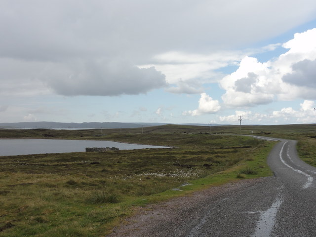
In addition to its natural beauty, Bratti Geo offers breathtaking views of the surrounding landscape, including the vast expanse of the North Sea. The coastal walk leading to the headland provides an exhilarating experience, with the sound of crashing waves and the salty sea breeze heightening the senses.

Bratti Geo is a must-visit destination for those seeking both natural wonder and a glimpse into the rich biodiversity of Shetland. Its striking cliffs, diverse birdlife, and panoramic views make it a truly memorable coastal feature.

If you have any feedback on the listing, please let us know in the comments section below.
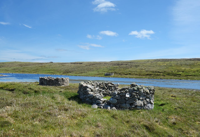
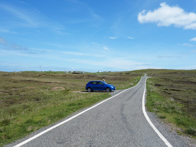
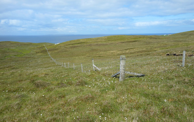
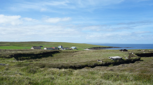
Bratti Geo Images

Images are sourced within 2km of 60.370668/-0.97615744 or Grid Reference HU5665. Thanks to Geograph Open Source API. All images are credited.

Loch Isbister
Loch Isbister
The Houll, Whalsay Probably usually very damp.
The Houll, Whalsay
Probably usually very damp.
West Loch of Skaw, Whalsay
Loch Vats-houll, Whalsay
The west shore of Loch Vats-houll, Whalsay
Whalsay Kirk and graveyard The Kirk stands on Kirk Ness, a small islet joined to Whalsay by one of Shetland's splendid tombolas. Though actually I think this one has needed a bit of protection from time to time.
Whalsay Kirk and graveyard
The Kirk stands on Kirk Ness, a small islet joined to Whalsay by one of Shetland's splendid tombolas. Though actually I think this one has needed a bit of protection from time to time.
Houb and Suther Ness, Whalsay Suther Ness, with its beacon, is connected to the mainland of Whalsay. But you can't walk there direct from here, you have to approach from the left. Houb (on the left) would, I imagine, make a fine natural harbour were it not for the fact that the channel ahead which prevents a direct approach to Suther Ness is too shallow for all but the smallest craft (such as the little one seen here).
Houb and Suther Ness, Whalsay
Suther Ness, with its beacon, is connected to the mainland of Whalsay. But you can't walk there direct from here, you have to approach from the left. Houb (on the left) would, I imagine, make a fine natural harbour were it not for the fact that the channel ahead which prevents a direct approach to Suther Ness is too shallow for all but the smallest craft (such as the little one seen here).
The road to Brough, Whalsay
Kirk Ness View from Kick Ness
Kirk Ness
View from Kick Ness
West Loch of Skaw West Loch of Skaw on Whalsay
West Loch of Skaw
West Loch of Skaw on Whalsay
Chambered Cairn Chambered Cairn & Cyst (north end), Pettigarths Field, Mid Breck, Whalsay.
Skaw (Taing) in the distance.
Chambered Cairn
Chambered Cairn & Cyst (north end), Pettigarths Field, Mid Breck, Whalsay. Skaw (Taing) in the distance.
West Loch of Skaw We had a picnic on the shore here. Very pleasant. Shetland's lack of midges should be made a lot more of by the tourist people.
West Loch of Skaw
We had a picnic on the shore here. Very pleasant. Shetland's lack of midges should be made a lot more of by the tourist people.
By the West Loch of Skaw These little round enclosures are everywhere. I had no idea what they were for, so thanks to Oliver Dixon for putting me right. <a href="https://www.geograph.org.uk/photo/3584966">HU5866 : Planticrubs on the shores of the West Loch of Skaw</a>
Planticrub. What a wonderful word. Much better than "kale growing enclosure." I shall endeavour to use it wherever possible.
By the West Loch of Skaw
These little round enclosures are everywhere. I had no idea what they were for, so thanks to Oliver Dixon for putting me right. HU5866 : Planticrubs on the shores of the West Loch of Skaw Planticrub. What a wonderful word. Much better than "kale growing enclosure." I shall endeavour to use it wherever possible.
The Road to Skaw About another kilometre to go until this road stops at the north end of the island.
The Road to Skaw
About another kilometre to go until this road stops at the north end of the island.
Fence Corner, Mid Breck We decided we would get to the Standing Stones of Yoxie by going over the hill rather than round the coast. The going is mostly like this but it gets a bit boggy over the other side just uphill from the stones. Follow this fence line up the hill from here till you get to the top, and you'll see the stones (if it's a nice day)
Fence Corner, Mid Breck
We decided we would get to the Standing Stones of Yoxie by going over the hill rather than round the coast. The going is mostly like this but it gets a bit boggy over the other side just uphill from the stones. Follow this fence line up the hill from here till you get to the top, and you'll see the stones (if it's a nice day)
Towards Vai Voe The bay and the settlement share the name. A lot of peat cutting along here.
Towards Vai Voe
The bay and the settlement share the name. A lot of peat cutting along here.
Loch Vats-houll
Loch Vats-houll
Overlooking Loch Vats-houll Houses with a nice view over the Loch. The one on the left can probably see the sea as well.
Overlooking Loch Vats-houll
Houses with a nice view over the Loch. The one on the left can probably see the sea as well.
Show me another place!

Bratti Geo is located at Grid Ref: HU5665 (Lat: 60.370668, Lng: -0.97615744)

Unitary Authority: Shetland Islands

Police Authority: Highlands and Islands

What 3 Words

///clinking.stands.aware. Near Symbister, Shetland Islands

Related Wikis

Challister

Challister is a crofting township and ward in northwestern Whalsay in the parish of Nesting in the Shetland islands of Scotland. Loch Vats-houll is in...

Vats-houll

Vats-houll is a settlement in northwestern Whalsay in the parish of Nesting in the Shetland islands of Scotland. The village overlooks the loch of the...

Whalsay Parish Church

Whalsay Parish Church or Whalsay Kirk is a Church of Scotland parish church on the island of Whalsay, Shetland Islands, Scotland. It lies to the north...

Brough, Shetland

Brough is a settlement in western Whalsay in the parish of Nesting in the Shetland islands of Scotland. It lies to the southwest of Challister, northeast...

Vaivoe

Vaivoe is a hamlet in the northwestern Whalsay in the parish of Nesting in the Shetland Islands of Scotland. It overlooks the bay of Vai Voe, just to the...

West Loch of Skaw

West Loch of Skaw is a loch of northern-central Whalsay, Shetland Islands, Scotland, to the southwest of the village of Skaw, Whalsay. == References ==

Loch of Houll

Loch of Houll is a loch on Whalsay, one of the Shetland islands of Scotland. It is located to the southeast of Brough and on the eastern side of Setter...

Tripwell

Tripwell is a hamlet in western Whalsay in the parish of Nesting in the Shetland islands of Scotland. It is located to the south of the village of Brough...

Nearby Amenities

Located within 500m of 60.370668,-0.97615744
Vats-houll
Is In: Shetland
Place: hamlet
Source: OS_OpenData_StreetView
Lat/Long: 60.3726463/-0.9685722
Challister
Is In: Shetland
Place: hamlet
Source: OS_OpenData_StreetView
Lat/Long: 60.3691847/-0.9769241
Power: pole
Lat/Long: 60.3734008/-0.9696645
Power: pole
Lat/Long: 60.3729313/-0.9702828
Power: pole
Lat/Long: 60.3723419/-0.9710738
Power: pole
Lat/Long: 60.3727536/-0.9696394
Power: pole
Lat/Long: 60.3729078/-0.9689013
Power: pole
Lat/Long: 60.3719013/-0.9716504
Power: pole
Lat/Long: 60.3714497/-0.9722464
Power: pole
Lat/Long: 60.3708892/-0.9729817
Power: pole
Lat/Long: 60.370315/-0.9737477
Power: pole
Lat/Long: 60.369694/-0.9745638
Power: pole
Lat/Long: 60.3692148/-0.9751905
Power: pole
Lat/Long: 60.3688292/-0.9757002
Power: pole
Lat/Long: 60.3673485/-0.9814548
Power: pole
Lat/Long: 60.3676226/-0.9804115
Power: pole
Lat/Long: 60.3679519/-0.9791202
Power: pole
Lat/Long: 60.368221/-0.9780871
Power: pole
Lat/Long: 60.3684752/-0.9770971
Power: pole
Lat/Long: 60.367714/-0.9776972
Power: pole
Lat/Long: 60.3676602/-0.9768439
Power: pole
Lat/Long: 60.3676051/-0.9757348
Power: pole
Lat/Long: 60.3689096/-0.9777681
Power: pole
Lat/Long: 60.3680395/-0.9764312
Power: pole
Lat/Long: 60.3671269/-0.9744865
The data included in this document is from www.openstreetmap.org. The data is made available under ODbL.

Have you been to Bratti Geo?

Leave your review of Bratti Geo below (or comments, questions and feedback).