The Bugg
Sea, Estuary, Creek in Shetland
Scotland
The Bugg
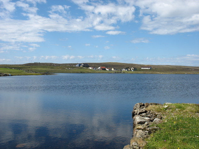
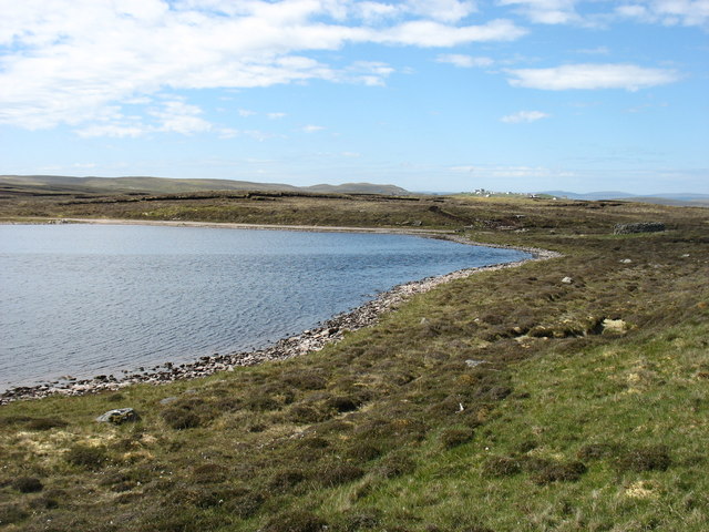
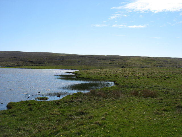
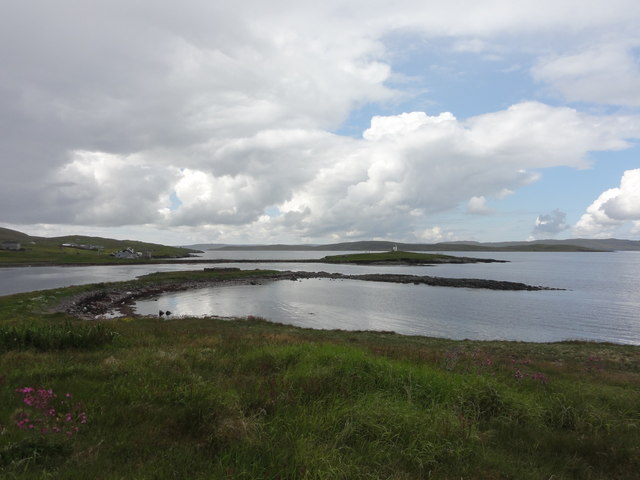
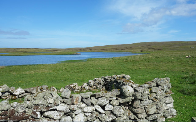
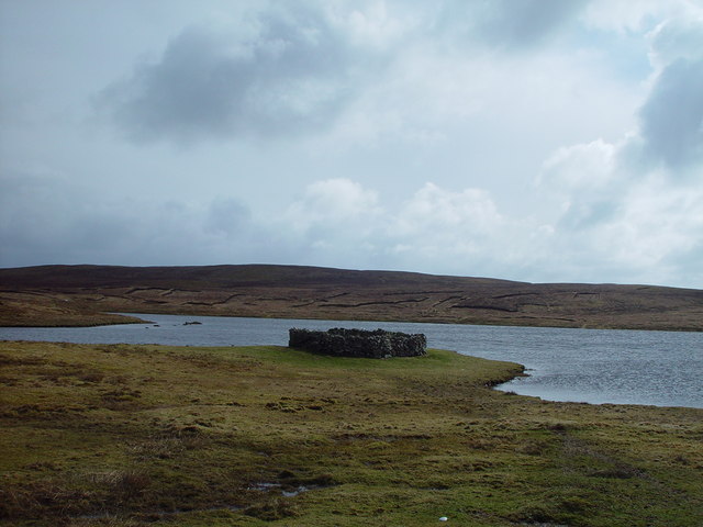
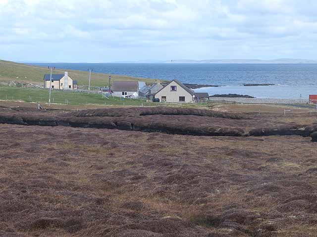
The Bugg is a small coastal feature located in the Shetland Islands, Scotland. It is commonly referred to as The Bugg Sea, Estuary, or Creek, depending on the specific area being described. The Bugg is known for its picturesque beauty and unique ecological characteristics.
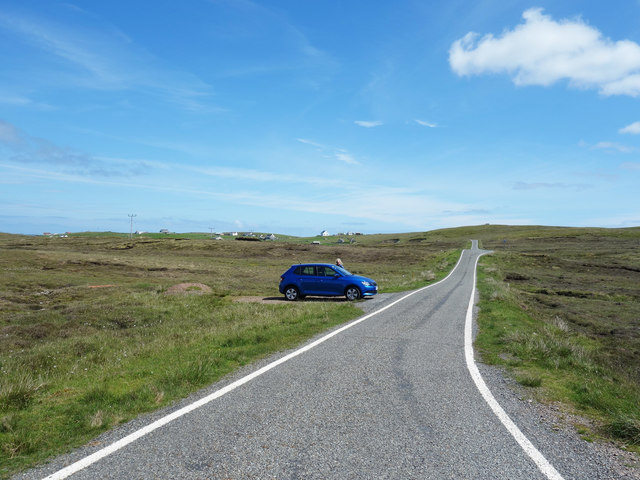
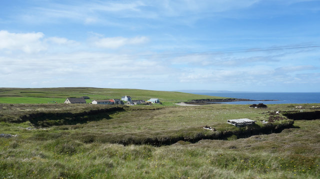
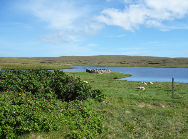
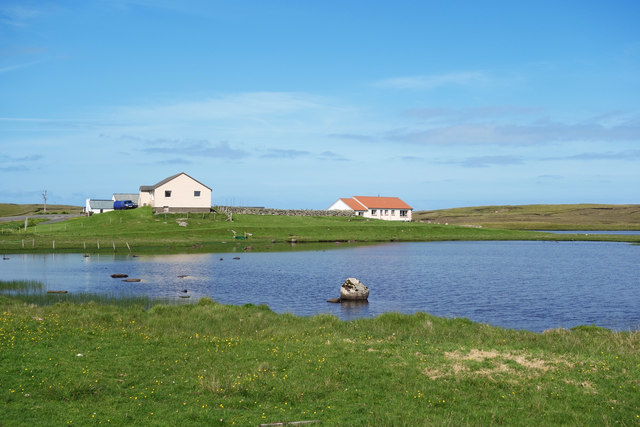
Situated along the rugged coastline of Shetland, The Bugg offers breathtaking views of the North Atlantic Ocean. The area is characterized by dramatic cliffs and rocky shores, which provide a habitat for various marine and bird species. The Bugg Sea is rich in biodiversity, attracting seals, otters, and a wide array of seabirds, including puffins and guillemots.
The Bugg Estuary is formed where a river meets the sea, creating a brackish water environment. This unique blend of fresh and saltwater fosters a diverse range of flora and fauna, making it an important ecological site. The estuary is home to numerous wading birds, such as curlews and oystercatchers, which can be observed feeding along the mudflats during low tide.
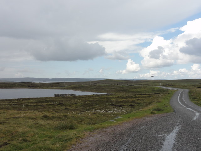
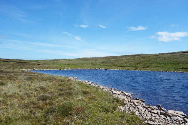
The Bugg Creek is a small watercourse that meanders through the coastal landscape, providing a peaceful and tranquil setting. Lined with native vegetation, the creek offers a habitat for small fish, amphibians, and invertebrates.
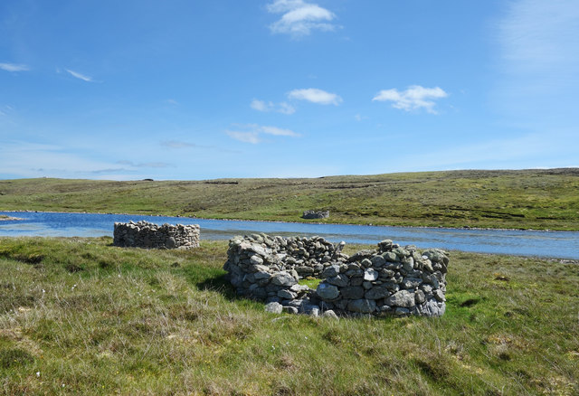
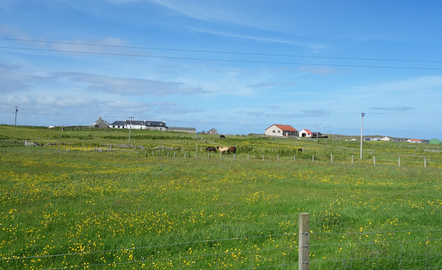
The Bugg, in all its forms, serves as a popular destination for nature enthusiasts, birdwatchers, and photographers. Its unspoiled beauty and wildlife diversity make it a haven for those seeking to explore and appreciate the natural wonders of the Shetland Islands.
If you have any feedback on the listing, please let us know in the comments section below.
The Bugg Images
Images are sourced within 2km of 60.370578/-0.97973232 or Grid Reference HU5665. Thanks to Geograph Open Source API. All images are credited.


The Bugg is located at Grid Ref: HU5665 (Lat: 60.370578, Lng: -0.97973232)
Unitary Authority: Shetland Islands
Police Authority: Highlands and Islands
What 3 Words
///proper.forklift.balance. Near Symbister, Shetland Islands
Nearby Locations
Related Wikis
Challister
Challister is a crofting township and ward in northwestern Whalsay in the parish of Nesting in the Shetland islands of Scotland. Loch Vats-houll is in...
Vats-houll
Vats-houll is a settlement in northwestern Whalsay in the parish of Nesting in the Shetland islands of Scotland. The village overlooks the loch of the...

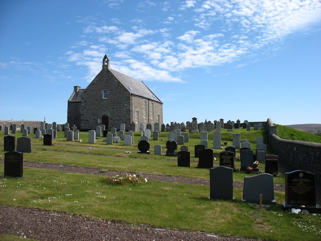
Whalsay Parish Church
Whalsay Parish Church or Whalsay Kirk is a Church of Scotland parish church on the island of Whalsay, Shetland Islands, Scotland. It lies to the north...

Brough, Shetland
Brough is a settlement in western Whalsay in the parish of Nesting in the Shetland islands of Scotland. It lies to the southwest of Challister, northeast...
Vaivoe
Vaivoe is a hamlet in the northwestern Whalsay in the parish of Nesting in the Shetland Islands of Scotland. It overlooks the bay of Vai Voe, just to the...

Loch of Houll
Loch of Houll is a loch on Whalsay, one of the Shetland islands of Scotland. It is located to the southeast of Brough and on the eastern side of Setter...

Tripwell
Tripwell is a hamlet in western Whalsay in the parish of Nesting in the Shetland islands of Scotland. It is located to the south of the village of Brough...

West Loch of Skaw
West Loch of Skaw is a loch of northern-central Whalsay, Shetland Islands, Scotland, to the southwest of the village of Skaw, Whalsay. == References ==
Nearby Amenities
Located within 500m of 60.370578,-0.97973232Have you been to The Bugg?
Leave your review of The Bugg below (or comments, questions and feedback).