Nista Taing
Island in Shetland
Scotland
Nista Taing
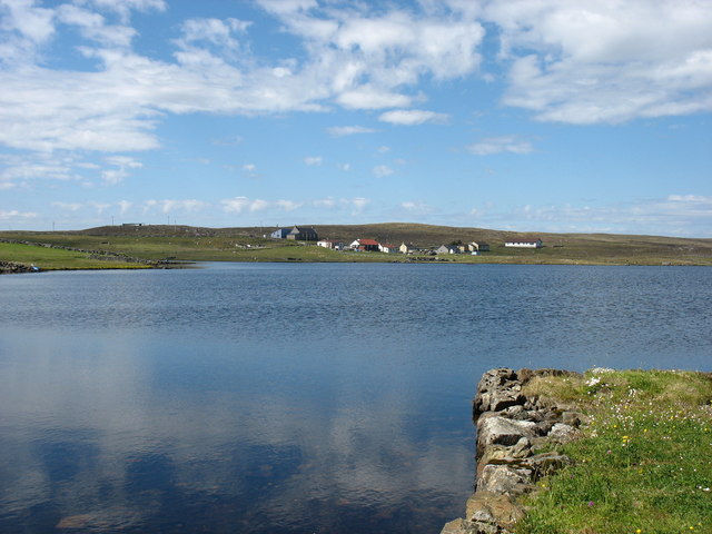
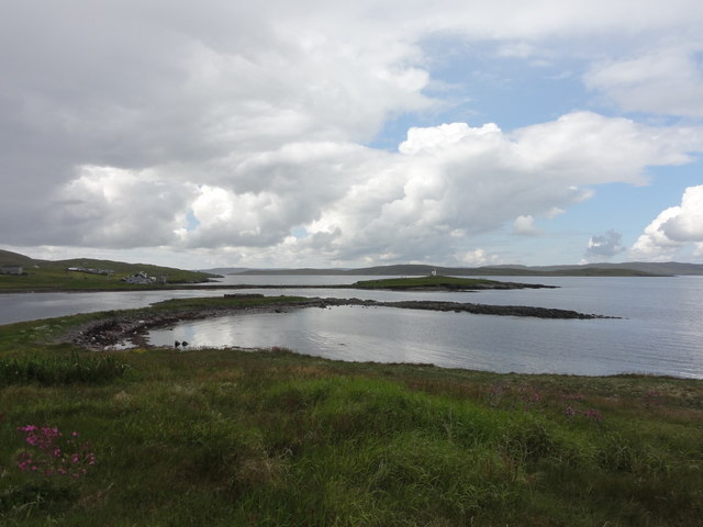
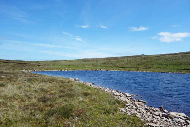
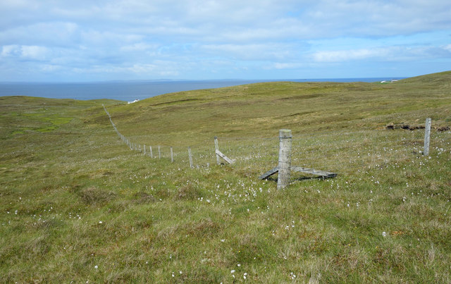
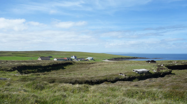
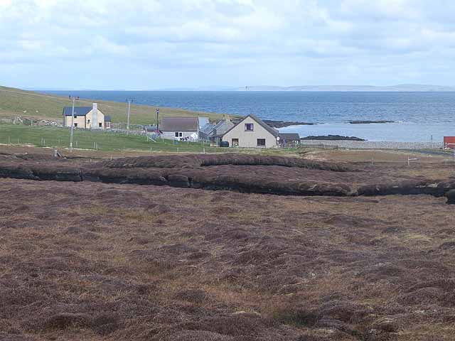
Nista Taing is a small coastal village located on the mainland of Shetland, an archipelago in Scotland. It is situated on the west coast, about 8 miles southwest of the capital town of Lerwick. With its picturesque setting and stunning views of the North Atlantic Ocean, Nista Taing attracts both tourists and locals alike.
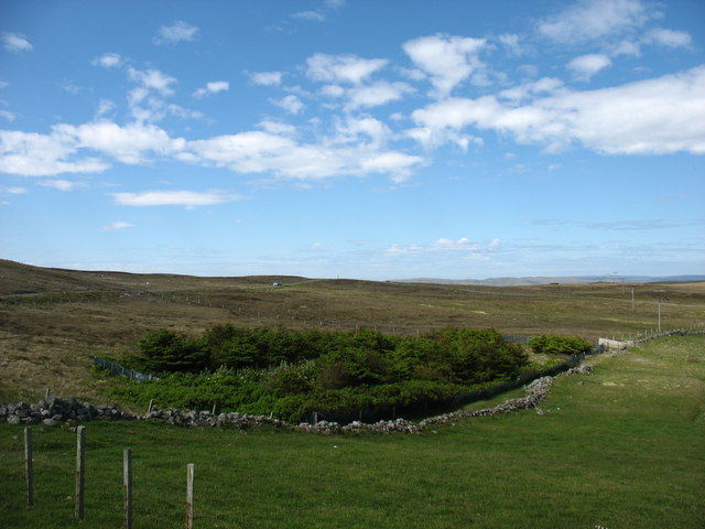
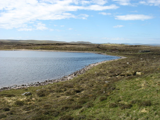
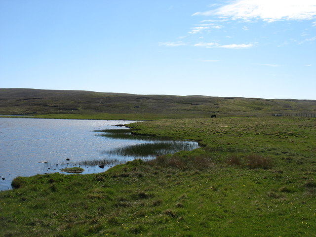
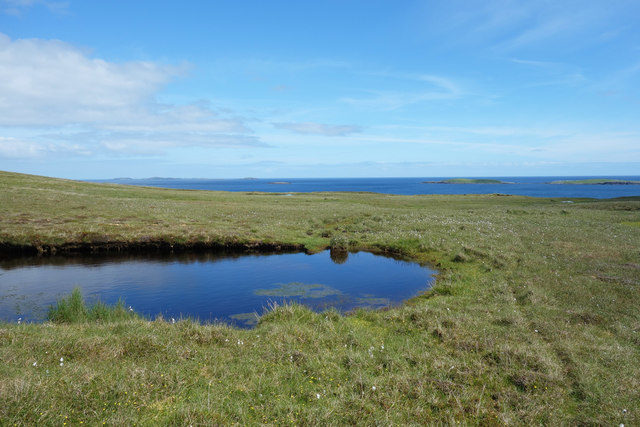
The village is known for its rugged beauty, with rocky cliffs and pebble beaches that offer a peaceful and serene atmosphere. It is a popular spot for birdwatching, as the surrounding cliffs are home to a variety of seabirds, including puffins, guillemots, and razorbills. The area is also frequented by seals, which can often be spotted basking on the rocks.
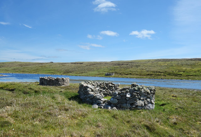
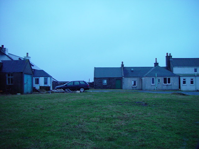
Nista Taing is a close-knit community with a small population. The village is characterized by its traditional Shetland houses, which are built with stone walls and slate roofs. There are a few amenities available in the village, including a local pub and a small shop that sells basic supplies.
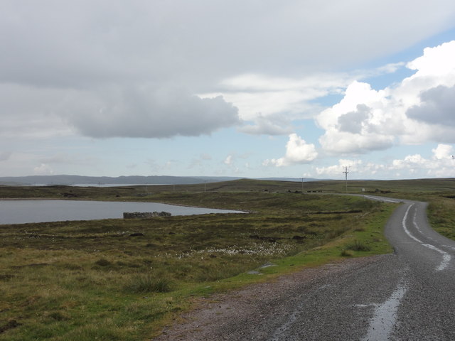
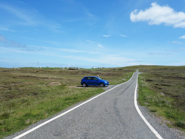
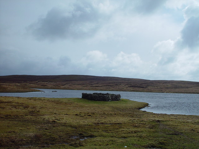
The surrounding area offers numerous opportunities for outdoor activities. Visitors can enjoy walking along the coastal paths, exploring the nearby caves, or fishing in the crystal-clear waters. The village is also a popular starting point for boat trips to the nearby islands of Foula and Papa Stour.
Overall, Nista Taing is a hidden gem in Shetland, offering a peaceful and unspoiled environment for those seeking tranquility and natural beauty. Its stunning coastal scenery and abundant wildlife make it a must-visit destination for nature lovers and outdoor enthusiasts.
If you have any feedback on the listing, please let us know in the comments section below.
Nista Taing Images
Images are sourced within 2km of 60.372398/-0.97347382 or Grid Reference HU5665. Thanks to Geograph Open Source API. All images are credited.


Nista Taing is located at Grid Ref: HU5665 (Lat: 60.372398, Lng: -0.97347382)
Unitary Authority: Shetland Islands
Police Authority: Highlands and Islands
What 3 Words
///flanked.games.recliner. Near Symbister, Shetland Islands
Nearby Locations
Related Wikis
Vats-houll
Vats-houll is a settlement in northwestern Whalsay in the parish of Nesting in the Shetland islands of Scotland. The village overlooks the loch of the...
Challister
Challister is a crofting township and ward in northwestern Whalsay in the parish of Nesting in the Shetland islands of Scotland. Loch Vats-houll is in...
Vaivoe
Vaivoe is a hamlet in the northwestern Whalsay in the parish of Nesting in the Shetland Islands of Scotland. It overlooks the bay of Vai Voe, just to the...

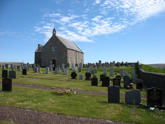
Whalsay Parish Church
Whalsay Parish Church or Whalsay Kirk is a Church of Scotland parish church on the island of Whalsay, Shetland Islands, Scotland. It lies to the north...

West Loch of Skaw
West Loch of Skaw is a loch of northern-central Whalsay, Shetland Islands, Scotland, to the southwest of the village of Skaw, Whalsay. == References ==

Brough, Shetland
Brough is a settlement in western Whalsay in the parish of Nesting in the Shetland islands of Scotland. It lies to the southwest of Challister, northeast...

Loch of Isbister
Loch of Isbister is a loch of Whalsay, Shetland Islands, Scotland, located on the northern side of Isbister on the eastern side of the island. == References ==

Loch of Houll
Loch of Houll is a loch on Whalsay, one of the Shetland islands of Scotland. It is located to the southeast of Brough and on the eastern side of Setter...
Nearby Amenities
Located within 500m of 60.372398,-0.97347382Have you been to Nista Taing?
Leave your review of Nista Taing below (or comments, questions and feedback).