Challister
Settlement in Shetland
Scotland
Challister
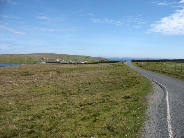
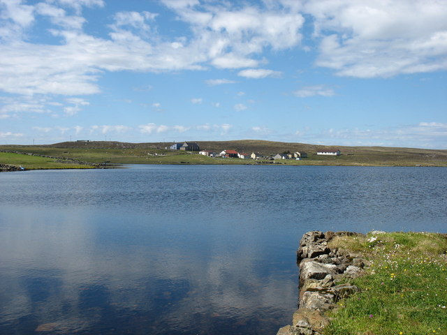
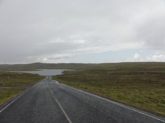
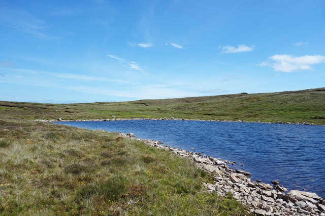
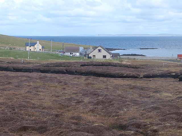
Challister is a small, picturesque village located in the Shetland Islands, an archipelago off the north coast of mainland Scotland. Situated on the mainland of Shetland, Challister is surrounded by breathtaking natural beauty. The village is nestled between rolling hills and offers stunning views of the North Sea.
Challister is known for its tranquil atmosphere and traditional Shetland charm. The village consists of a cluster of quaint cottages, many of which have been beautifully preserved, showcasing traditional Shetland architecture. The locals take great pride in maintaining the village's unique character.
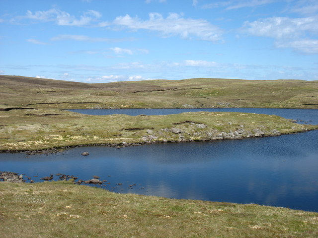
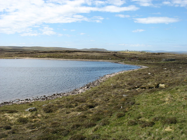
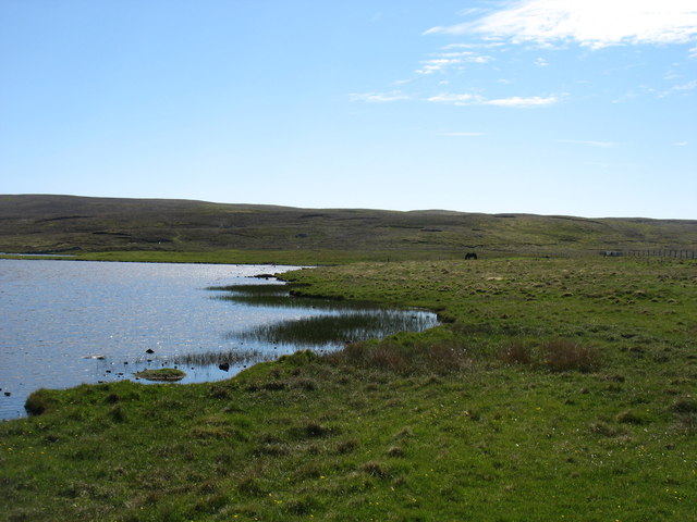
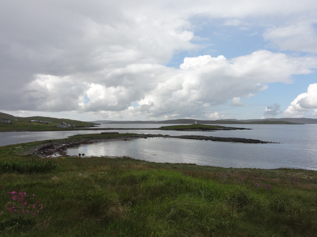
One of the highlights of Challister is its stunning coastline, featuring rugged cliffs and pristine sandy beaches. Visitors can explore the dramatic cliffs along the coastline, offering a chance to observe a variety of seabirds, including puffins and fulmars. The area is also a popular spot for wildlife enthusiasts, as seals and otters can often be spotted along the shore.
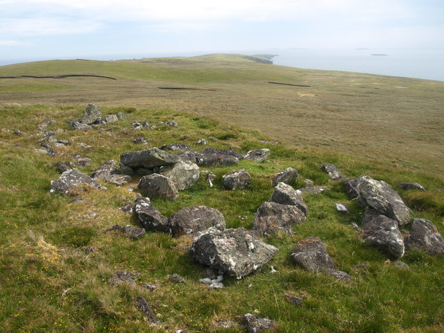
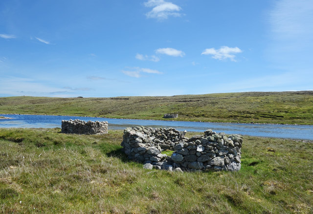
For those interested in history and archaeology, Challister is home to several ancient sites, including Iron Age brochs and Viking settlements. These sites provide a fascinating glimpse into the area's rich past and offer visitors a chance to delve into Shetland's ancient heritage.
Although small in size, Challister offers a warm and welcoming community spirit. Visitors can enjoy the tranquility of the village, take leisurely walks along the coast, or simply immerse themselves in the natural beauty that surrounds this idyllic destination.
If you have any feedback on the listing, please let us know in the comments section below.
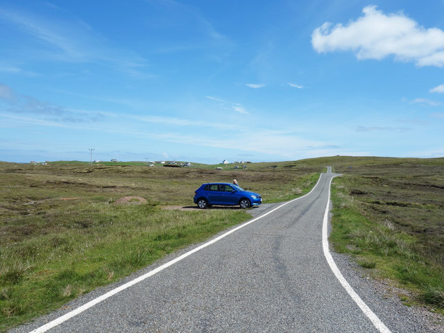
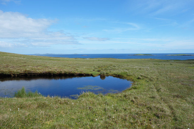
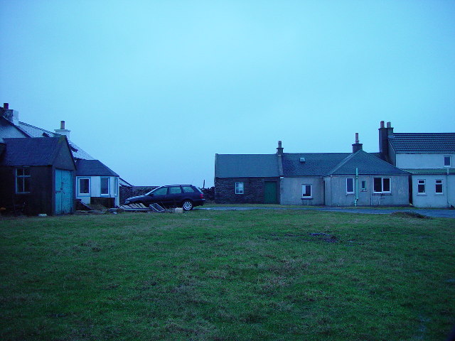
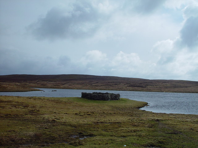
Challister Images
Images are sourced within 2km of 60.368261/-0.974135 or Grid Reference HU5665. Thanks to Geograph Open Source API. All images are credited.


Challister is located at Grid Ref: HU5665 (Lat: 60.368261, Lng: -0.974135)
Unitary Authority: Shetland Islands
Police Authority: Highlands and Islands
What 3 Words
///circling.unwound.roadmap. Near Symbister, Shetland Islands
Nearby Locations
Related Wikis
Challister
Challister is a crofting township and ward in northwestern Whalsay in the parish of Nesting in the Shetland islands of Scotland. Loch Vats-houll is in...
Vats-houll
Vats-houll is a settlement in northwestern Whalsay in the parish of Nesting in the Shetland islands of Scotland. The village overlooks the loch of the...

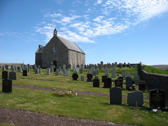
Whalsay Parish Church
Whalsay Parish Church or Whalsay Kirk is a Church of Scotland parish church on the island of Whalsay, Shetland Islands, Scotland. It lies to the north...

Brough, Shetland
Brough is a settlement in western Whalsay in the parish of Nesting in the Shetland islands of Scotland. It lies to the southwest of Challister, northeast...
Vaivoe
Vaivoe is a hamlet in the northwestern Whalsay in the parish of Nesting in the Shetland Islands of Scotland. It overlooks the bay of Vai Voe, just to the...

Loch of Isbister
Loch of Isbister is a loch of Whalsay, Shetland Islands, Scotland, located on the northern side of Isbister on the eastern side of the island. == References ==

Loch of Houll
Loch of Houll is a loch on Whalsay, one of the Shetland islands of Scotland. It is located to the southeast of Brough and on the eastern side of Setter...

West Loch of Skaw
West Loch of Skaw is a loch of northern-central Whalsay, Shetland Islands, Scotland, to the southwest of the village of Skaw, Whalsay. == References ==
Nearby Amenities
Located within 500m of 60.368261,-0.974135Have you been to Challister?
Leave your review of Challister below (or comments, questions and feedback).