Vats-houll
Settlement in Shetland
Scotland
Vats-houll
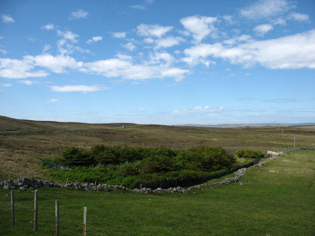
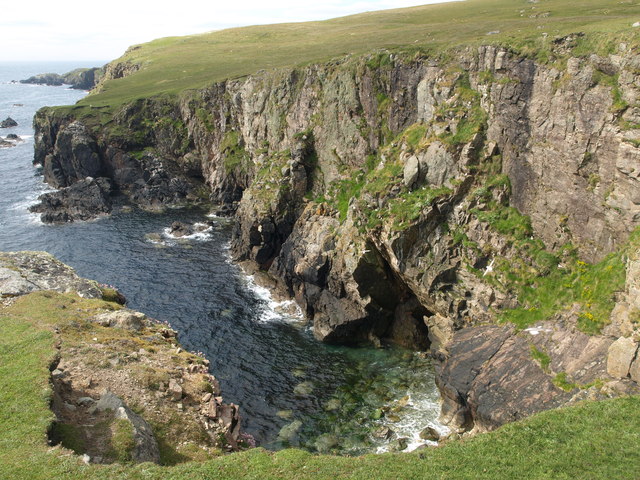
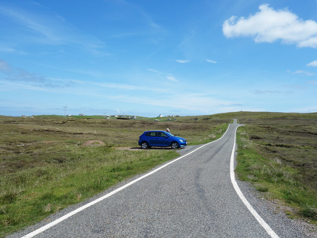
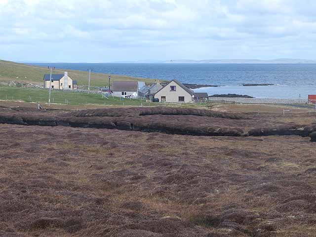
Vats-houll is a small, picturesque village located in the Shetland Islands, an archipelago off the northeast coast of Scotland. Situated on the mainland of Shetland, it is surrounded by stunning natural beauty, characterized by rolling hills, expansive moorlands, and dramatic coastal landscapes. With a population of around 100 residents, Vats-houll offers a tranquil and idyllic setting for those seeking a peaceful escape from the hustle and bustle of city life.
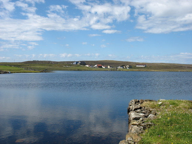
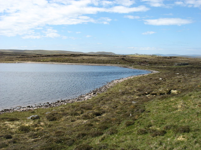
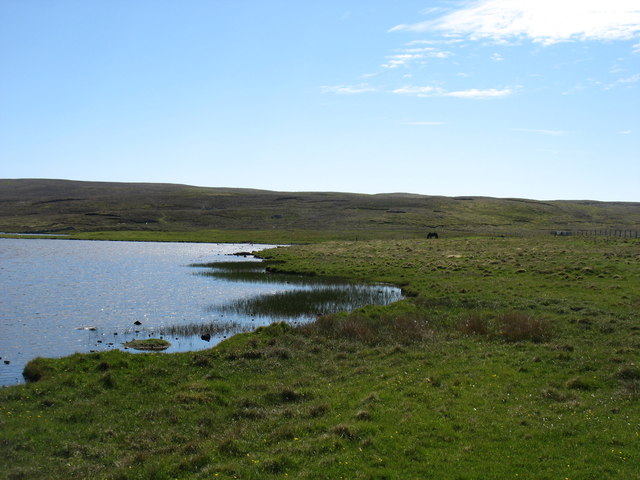
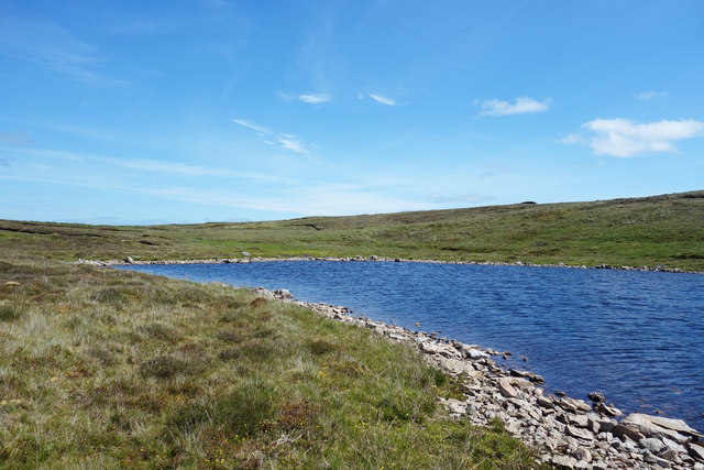
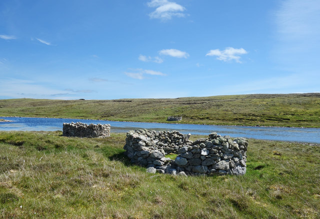
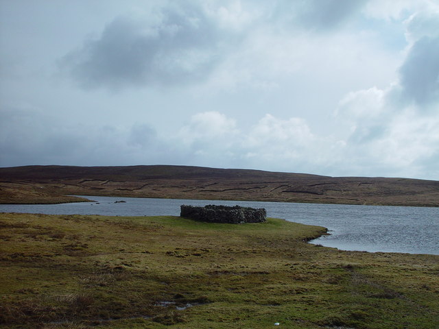
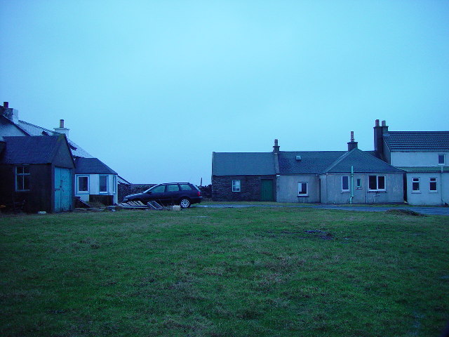
The village itself consists of a cluster of traditional stone-built houses, many of which date back several centuries. These charming dwellings are nestled amidst lush greenery and overlook the nearby Vats-houll Loch, a serene freshwater lake teeming with wildlife. The loch provides a popular spot for fishing and birdwatching enthusiasts.
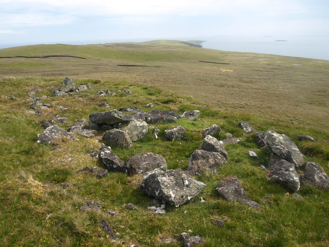
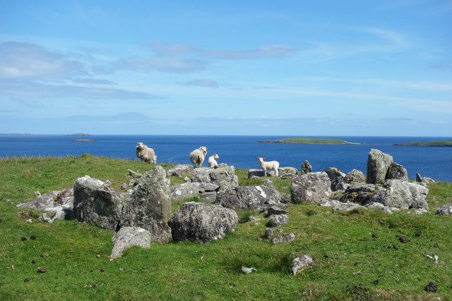
While Vats-houll is primarily a residential area, it also boasts a rich historical heritage. The nearby Jarlshof Prehistoric and Norse Settlement, a renowned archaeological site, offers a fascinating glimpse into the island's ancient past.
In terms of amenities, Vats-houll has limited facilities, including a small convenience store and a local inn that serves as a gathering place for both residents and visitors. However, for a wider range of amenities, the larger town of Lerwick is only a short drive away.
Vats-houll's remote location and untouched natural landscapes make it an ideal destination for nature lovers, hikers, and those seeking a peaceful retreat in a truly breathtaking setting.
If you have any feedback on the listing, please let us know in the comments section below.
Vats-houll Images
Images are sourced within 2km of 60.372512/-0.96958968 or Grid Reference HU5665. Thanks to Geograph Open Source API. All images are credited.


Vats-houll is located at Grid Ref: HU5665 (Lat: 60.372512, Lng: -0.96958968)
Unitary Authority: Shetland Islands
Police Authority: Highlands and Islands
What 3 Words
///clenching.tides.fracture. Near Symbister, Shetland Islands
Nearby Locations
Related Wikis
Vats-houll
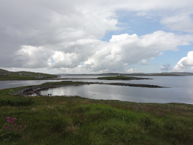
Vats-houll is a settlement in northwestern Whalsay in the parish of Nesting in the Shetland islands of Scotland. The village overlooks the loch of the...
Challister
Challister is a crofting township and ward in northwestern Whalsay in the parish of Nesting in the Shetland islands of Scotland. Loch Vats-houll is in...
Vaivoe
Vaivoe is a hamlet in the northwestern Whalsay in the parish of Nesting in the Shetland Islands of Scotland. It overlooks the bay of Vai Voe, just to the...

West Loch of Skaw
West Loch of Skaw is a loch of northern-central Whalsay, Shetland Islands, Scotland, to the southwest of the village of Skaw, Whalsay. == References ==

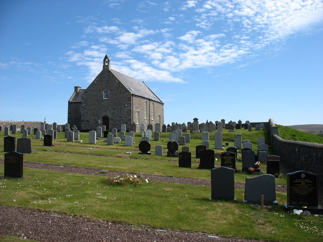
Whalsay Parish Church
Whalsay Parish Church or Whalsay Kirk is a Church of Scotland parish church on the island of Whalsay, Shetland Islands, Scotland. It lies to the north...

Brough, Shetland
Brough is a settlement in western Whalsay in the parish of Nesting in the Shetland islands of Scotland. It lies to the southwest of Challister, northeast...

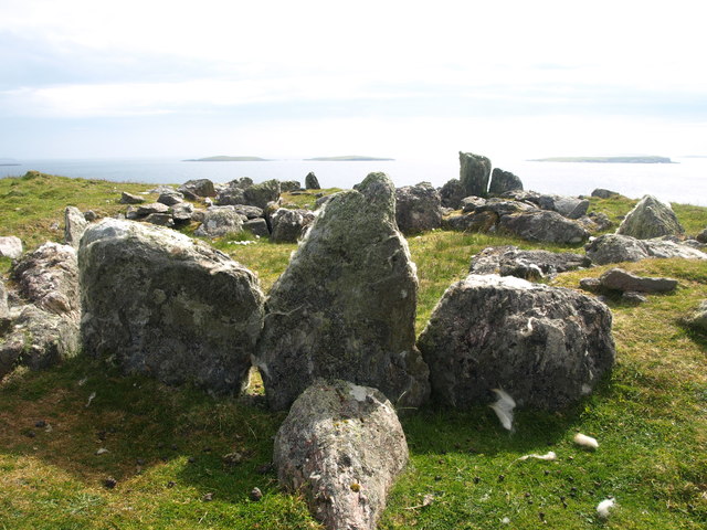
Pettigarths Field Cairns
The Pettigarths Field Cairns is a Neolithic site in the parish of Nesting, northeastern Whalsay, in the Shetland islands of Scotland. It is located approximately...

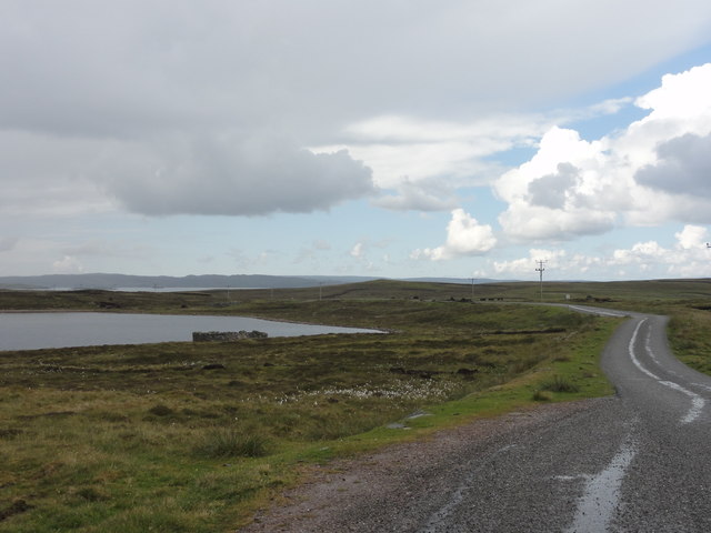
Loch of Isbister
Loch of Isbister is a loch of Whalsay, Shetland Islands, Scotland, located on the northern side of Isbister on the eastern side of the island. == References ==
Nearby Amenities
Located within 500m of 60.372512,-0.96958968Have you been to Vats-houll?
Leave your review of Vats-houll below (or comments, questions and feedback).