Naked Man
Coastal Feature, Headland, Point in Berwickshire
Scotland
Naked Man
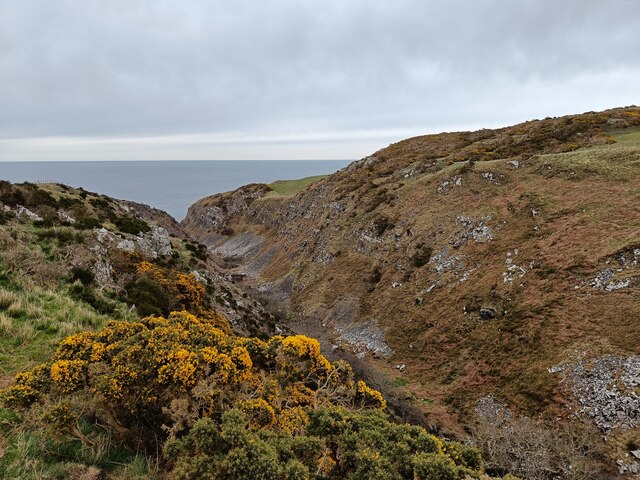
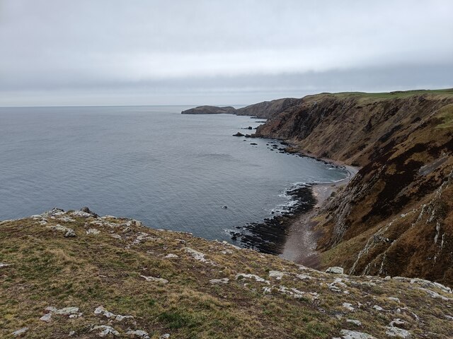
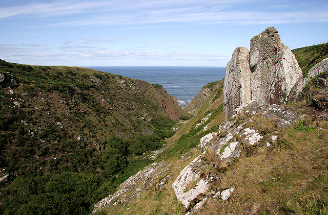
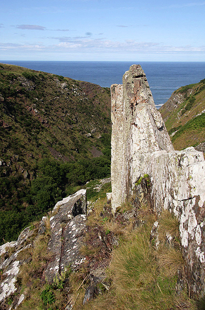
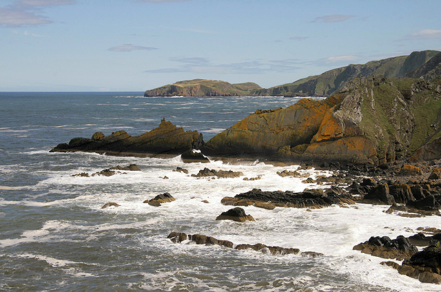
Naked Man is a prominent coastal feature located in Berwickshire, Scotland. It is a headland or point that juts out into the North Sea, offering stunning views and a unique landscape. The name "Naked Man" is derived from the exposed and rugged nature of the terrain, reminiscent of a naked figure.
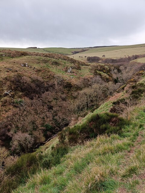
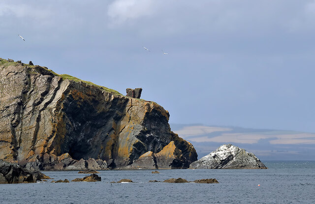
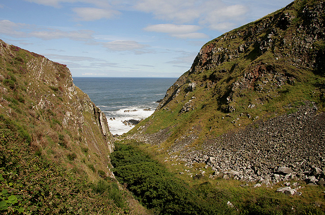
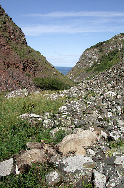
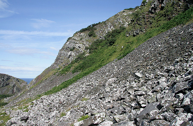
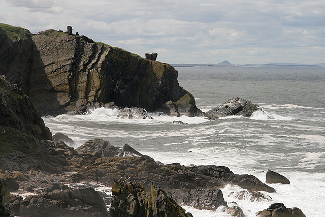
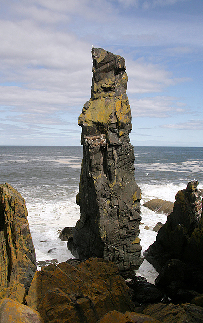
This coastal feature is known for its dramatic cliffs, which rise steeply from the water, creating an imposing sight. The cliffs are composed of layers of sedimentary rock, showcasing various colors and textures. Over time, erosion has sculpted the cliffs into fascinating shapes, with narrow crevices and sea caves dotting the coastline.
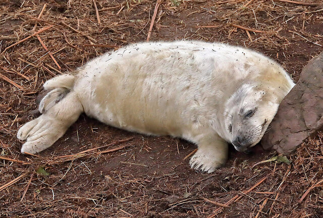
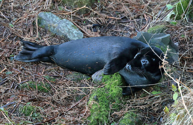
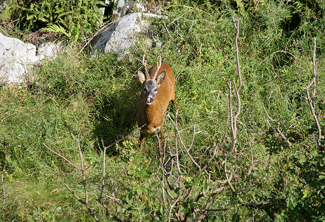
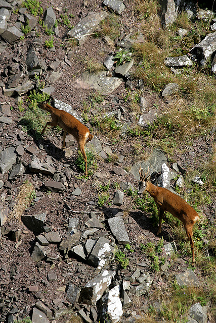
Naked Man provides an ideal vantage point for observing the surrounding area. On clear days, visitors can enjoy panoramic views of the North Sea, capturing glimpses of passing ships and wildlife such as seabirds and seals. The headland also offers a unique opportunity for birdwatching enthusiasts, as the cliffs are home to various species, including puffins, guillemots, and kittiwakes.
Access to Naked Man is relatively easy, with a well-maintained footpath leading to the headland. The area is popular among hikers and nature lovers, who can explore the diverse flora and fauna that thrive in this coastal environment. However, caution is advised near the cliff edges, as they can be unstable and hazardous.
In summary, Naked Man is a captivating coastal feature in Berwickshire, Scotland. Its towering cliffs, breathtaking views, and abundant wildlife make it an attractive destination for outdoor enthusiasts and those seeking a glimpse of the rugged beauty of the Scottish coastline.
If you have any feedback on the listing, please let us know in the comments section below.
Naked Man Images
Images are sourced within 2km of 55.922203/-2.192247 or Grid Reference NT8869. Thanks to Geograph Open Source API. All images are credited.
Naked Man is located at Grid Ref: NT8869 (Lat: 55.922203, Lng: -2.192247)
Unitary Authority: The Scottish Borders
Police Authority: The Lothians and Scottish Borders
What 3 Words
///tuned.fellow.curls. Near Eyemouth, Scottish Borders
Nearby Locations
Related Wikis

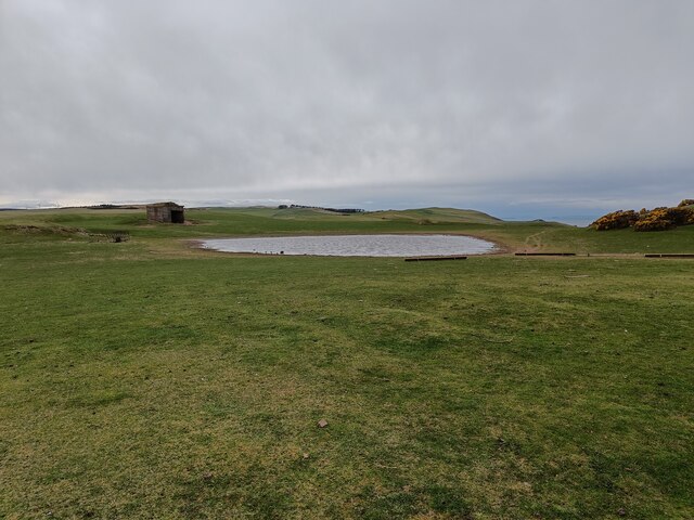
Coldingham Loch
Coldingham Loch is a freshwater loch in the parish of Coldingham, in the Scottish Borders area of Scotland, in the former Berwickshire, between Coldingham...

St Abb's Head Lighthouse
St Abb's Head Lighthouse stands on the cliffs at the rocky promontory of St Abb's Head, near the village of St Abbs in Berwickshire. A signal station was...

St Abb's Head
St Abb's Head is a rocky promontory by the village of St Abbs in Scottish Borders, Scotland, and a national nature reserve administered by the National...

Mire Loch
Mire Loch is a man made freshwater loch situated on St Abb's Head in the Scottish Borders, just over a kilometre NW of the village of St. Abbs at grid...
Nearby Amenities
Located within 500m of 55.922203,-2.192247Have you been to Naked Man?
Leave your review of Naked Man below (or comments, questions and feedback).