Maw Carr
Coastal Feature, Headland, Point in Berwickshire
Scotland
Maw Carr
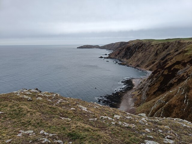
Maw Carr is a prominent headland located in Berwickshire, Scotland. Situated on the east coast of the country, this coastal feature is renowned for its stunning cliffs and rocky shoreline. It is positioned at the mouth of the River Tweed, where it meets the North Sea.
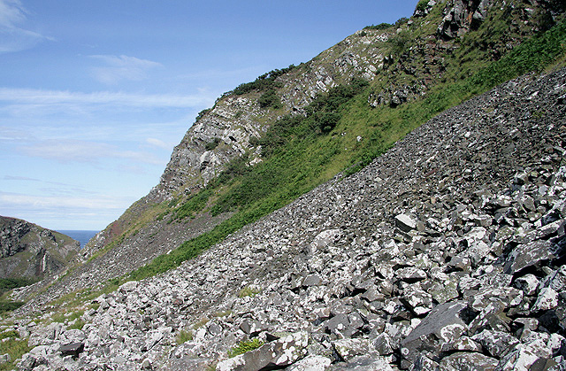
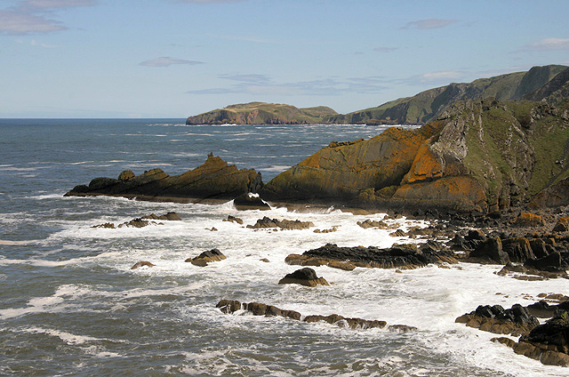
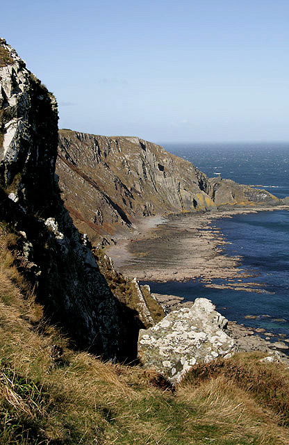
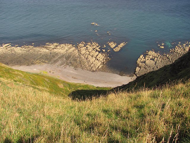
The headland itself is characterized by its steep, rugged cliffs that rise dramatically from the water. These cliffs are composed primarily of sedimentary rocks, such as sandstone and shale, which have been eroded over time by the relentless power of the sea. As a result, Maw Carr offers breathtaking views of the surrounding coastline and the vast expanse of the North Sea.
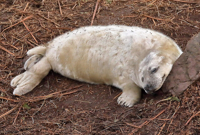
In addition to its geological significance, Maw Carr also boasts a rich ecological diversity. The headland is home to a variety of marine life, including seabirds, seals, and dolphins. The surrounding waters are teeming with fish, making it a popular spot for anglers and birdwatchers alike.
From a historical perspective, Maw Carr has played a significant role in the maritime heritage of the region. The headland has witnessed numerous shipwrecks over the centuries, and remnants of these vessels can still be seen at low tide. These relics serve as a reminder of the treacherous nature of the coast and the dangers faced by sailors in years gone by.
Overall, Maw Carr is a captivating coastal feature that combines natural beauty, ecological importance, and historical significance. It is a must-visit destination for nature enthusiasts, history buffs, and anyone seeking to experience the raw power of the sea.
If you have any feedback on the listing, please let us know in the comments section below.
Maw Carr Images
Images are sourced within 2km of 55.920698/-2.1836311 or Grid Reference NT8869. Thanks to Geograph Open Source API. All images are credited.


Maw Carr is located at Grid Ref: NT8869 (Lat: 55.920698, Lng: -2.1836311)
Unitary Authority: The Scottish Borders
Police Authority: The Lothians and Scottish Borders
What 3 Words
///profile.aliens.myth. Near Eyemouth, Scottish Borders
Nearby Locations
Related Wikis

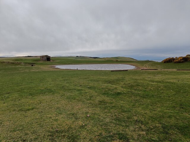
Coldingham Loch
Coldingham Loch is a freshwater loch in the parish of Coldingham, in the Scottish Borders area of Scotland, in the former Berwickshire, between Coldingham...

St Abb's Head Lighthouse
St Abb's Head Lighthouse stands on the cliffs at the rocky promontory of St Abb's Head, near the village of St Abbs in Berwickshire. A signal station was...

St Abb's Head
St Abb's Head is a rocky promontory by the village of St Abbs in Scottish Borders, Scotland, and a national nature reserve administered by the National...

Mire Loch
Mire Loch is a man made freshwater loch situated on St Abb's Head in the Scottish Borders, just over a kilometre NW of the village of St. Abbs at grid...
Nearby Amenities
Located within 500m of 55.920698,-2.1836311Have you been to Maw Carr?
Leave your review of Maw Carr below (or comments, questions and feedback).