Mawcarr Stells
Island in Berwickshire
Scotland
Mawcarr Stells
Mawcarr Stells is a small island located off the coast of Berwickshire, Scotland. With a total land area of approximately 5 acres, it is one of the many islands that dot the picturesque coastline of this region. Mawcarr Stells is situated about 2 miles southeast of the town of Eyemouth, making it easily accessible by boat.
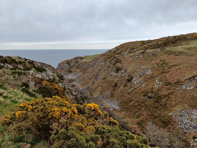
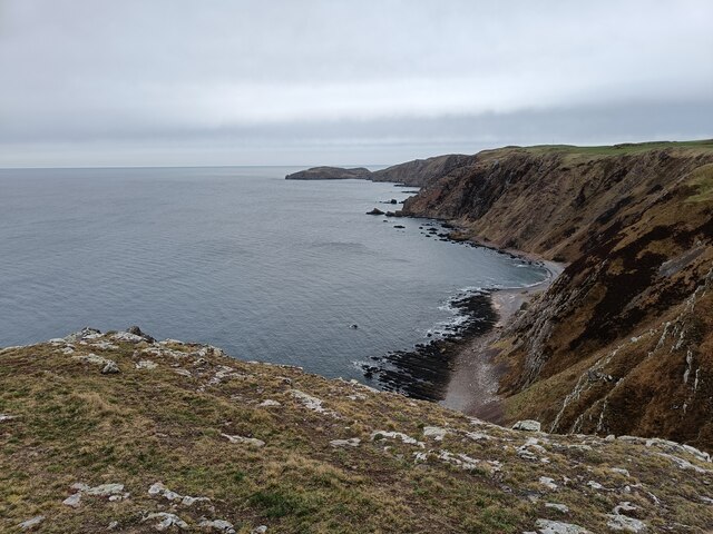
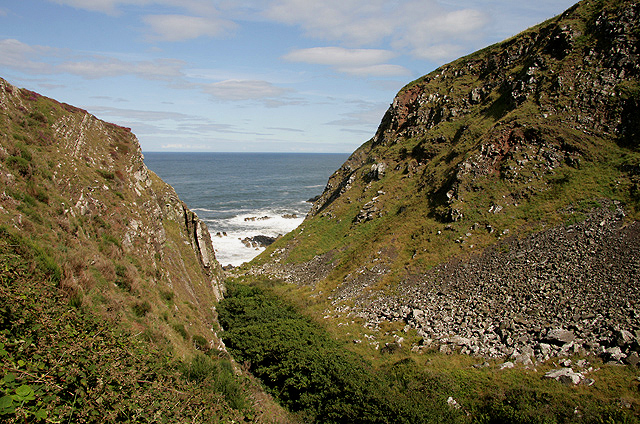
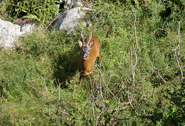
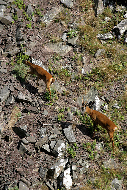
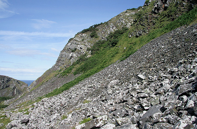
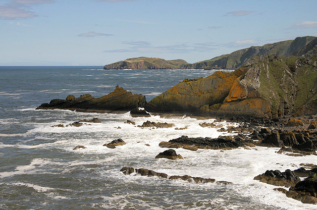
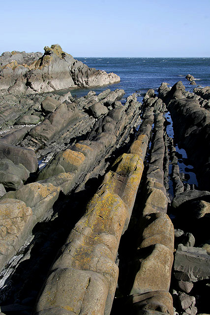
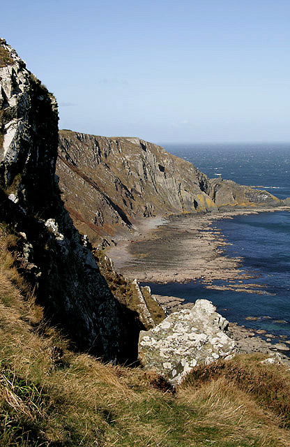
The island is characterized by its rugged and rocky terrain, with cliffs that rise steeply from the surrounding sea. It is primarily covered in grass and heather, providing a habitat for various species of birds and small mammals. The coastline is dotted with caves and rock formations, adding to the island's natural beauty.
Despite its small size, Mawcarr Stells has a rich history. It is believed to have been inhabited since ancient times, with evidence of prehistoric settlements and burial sites discovered on the island. In more recent centuries, it served as a fishing outpost and was home to a small community of fishermen and their families.
Today, Mawcarr Stells remains uninhabited and is a popular destination for nature lovers and wildlife enthusiasts. Visitors can explore the island's rugged shores, observe the diverse birdlife, and take in the breathtaking coastal views. It is also a popular spot for fishing and boating, attracting both locals and tourists alike.
Overall, Mawcarr Stells is a hidden gem off the coast of Berwickshire, offering visitors a tranquil and scenic escape from the bustling mainland.
If you have any feedback on the listing, please let us know in the comments section below.
Mawcarr Stells Images
Images are sourced within 2km of 55.920903/-2.1843521 or Grid Reference NT8869. Thanks to Geograph Open Source API. All images are credited.


Mawcarr Stells is located at Grid Ref: NT8869 (Lat: 55.920903, Lng: -2.1843521)
Unitary Authority: The Scottish Borders
Police Authority: The Lothians and Scottish Borders
What 3 Words
///inflamed.markets.pets. Near Eyemouth, Scottish Borders
Nearby Locations
Related Wikis

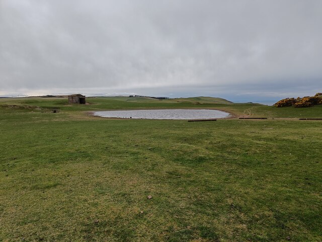
Coldingham Loch
Coldingham Loch is a freshwater loch in the parish of Coldingham, in the Scottish Borders area of Scotland, in the former Berwickshire, between Coldingham...

St Abb's Head Lighthouse
St Abb's Head Lighthouse stands on the cliffs at the rocky promontory of St Abb's Head, near the village of St Abbs in Berwickshire. A signal station was...

St Abb's Head
St Abb's Head is a rocky promontory by the village of St Abbs in Scottish Borders, Scotland, and a national nature reserve administered by the National...

Mire Loch
Mire Loch is a man made freshwater loch situated on St Abb's Head in the Scottish Borders, just over a kilometre NW of the village of St. Abbs at grid...
Nearby Amenities
Located within 500m of 55.920903,-2.1843521Have you been to Mawcarr Stells?
Leave your review of Mawcarr Stells below (or comments, questions and feedback).