Step Heugh
Cliff, Slope in Berwickshire
Scotland
Step Heugh
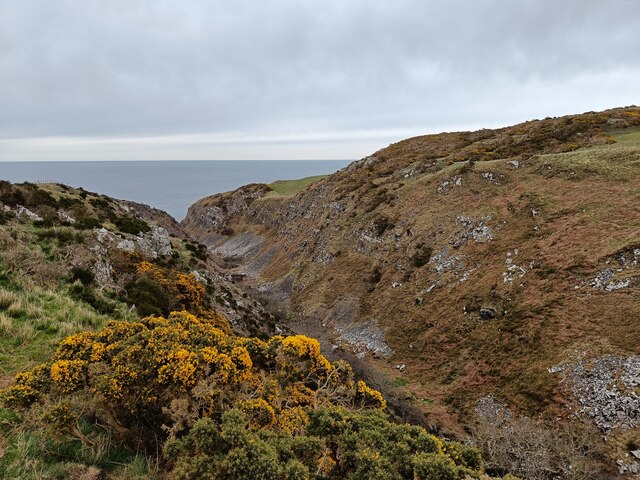
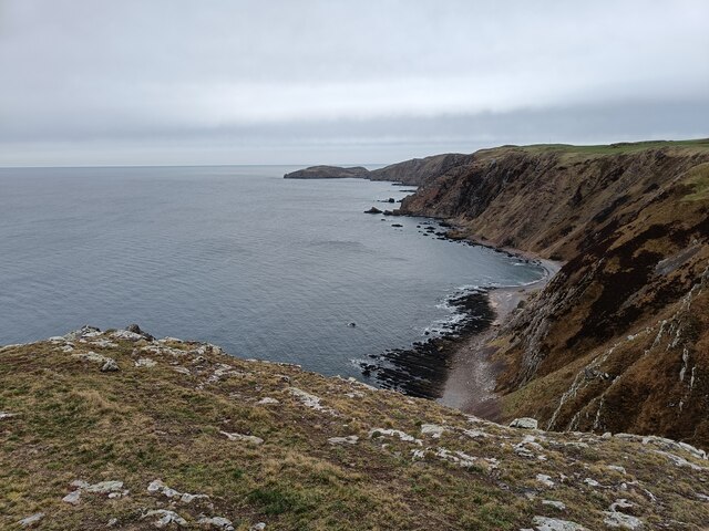
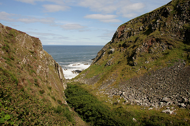
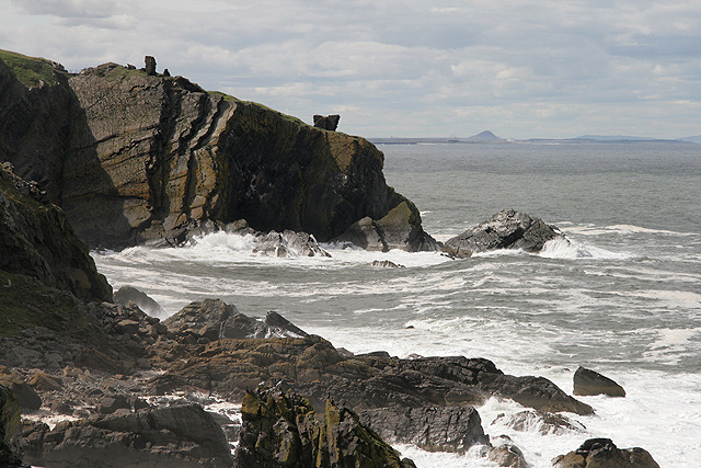
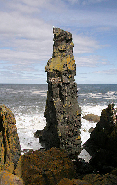
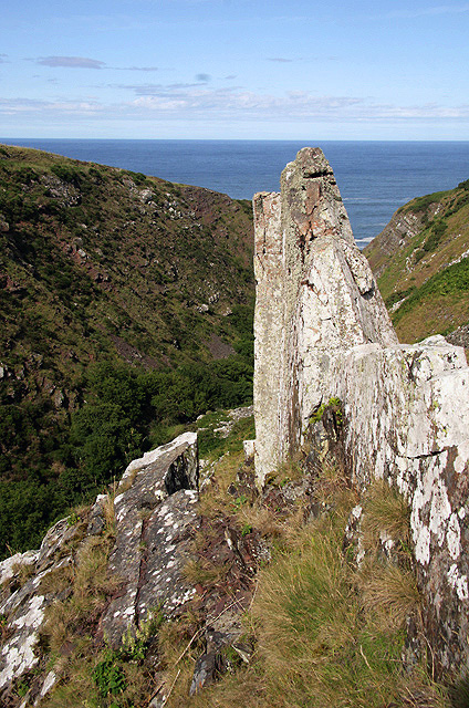
Step Heugh is a prominent cliff located in Berwickshire, Scotland. It is situated on the eastern coast of the country, overlooking the North Sea. The cliff stands at an impressive height of approximately 100 meters (328 feet) and stretches for a considerable distance along the coastline.
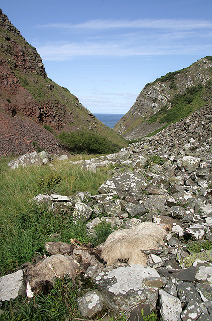
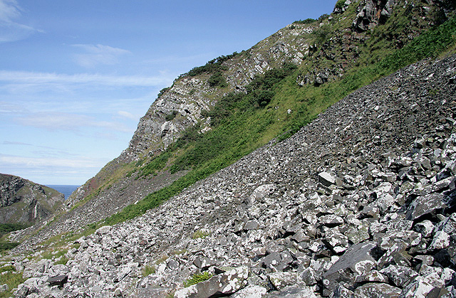
The geological formation of Step Heugh is primarily composed of sedimentary rocks, specifically sandstone and shale layers. These layers have been shaped over millions of years through the processes of erosion and weathering. The cliffs exhibit various colors, ranging from brown to grey, due to the different mineral compositions within the rock formations.
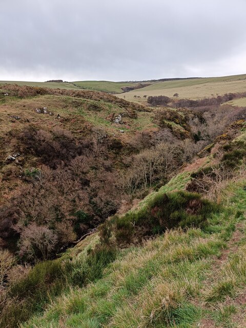
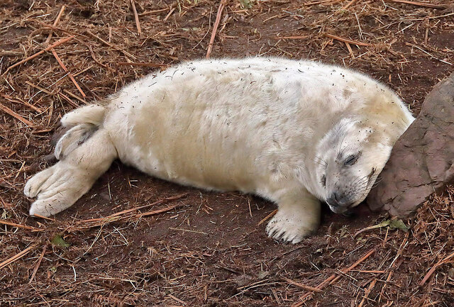
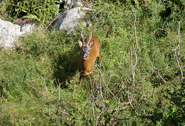
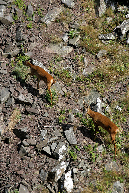
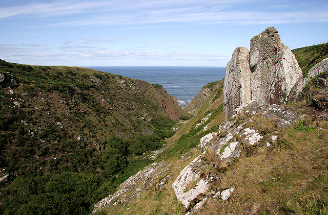
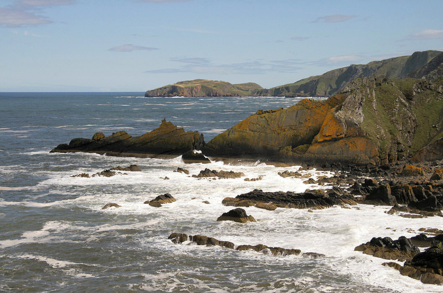
The cliff face of Step Heugh presents a striking sight, with its steep slope and sheer drop into the sea below. The rugged terrain is adorned with natural vegetation, including grasses, shrubs, and wildflowers, which contribute to the area's scenic beauty.
Step Heugh is a well-known spot for birdwatching enthusiasts, as it serves as a nesting site for several seabird species. Visitors can often observe colonies of guillemots, razorbills, and kittiwakes perched on the cliff ledges or soaring above the water. The cliff's location also offers visitors breathtaking panoramic views of the surrounding coastal landscape and the vast expanse of the North Sea.
Due to its dramatic scenery and ecological significance, Step Heugh attracts a significant number of tourists and nature lovers each year. The cliff provides an opportunity for outdoor activities such as hiking and photography, allowing visitors to immerse themselves in the natural beauty of Berwickshire's coastline.
If you have any feedback on the listing, please let us know in the comments section below.
Step Heugh Images
Images are sourced within 2km of 55.921271/-2.1906903 or Grid Reference NT8869. Thanks to Geograph Open Source API. All images are credited.


Step Heugh is located at Grid Ref: NT8869 (Lat: 55.921271, Lng: -2.1906903)
Unitary Authority: The Scottish Borders
Police Authority: The Lothians and Scottish Borders
What 3 Words
///message.shun.trips. Near Eyemouth, Scottish Borders
Nearby Locations
Related Wikis

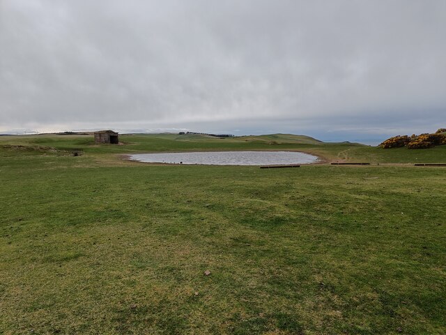
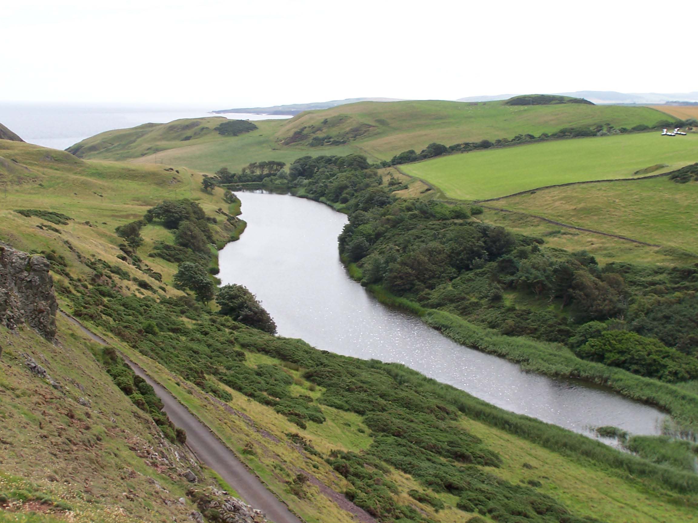
Coldingham Loch
Coldingham Loch is a freshwater loch in the parish of Coldingham, in the Scottish Borders area of Scotland, in the former Berwickshire, between Coldingham...
Mire Loch
Mire Loch is a man made freshwater loch situated on St Abb's Head in the Scottish Borders, just over a kilometre NW of the village of St. Abbs at grid...

St Abb's Head Lighthouse
St Abb's Head Lighthouse stands on the cliffs at the rocky promontory of St Abb's Head, near the village of St Abbs in Berwickshire. A signal station was...

St Abb's Head
St Abb's Head is a rocky promontory by the village of St Abbs in Scottish Borders, Scotland, and a national nature reserve administered by the National...

A1107 road
The A1107 is a road in south-east Scotland, in the Scottish Borders. It is a non-trunk route from near Cockburnspath to near Burnmouth. It follows the...
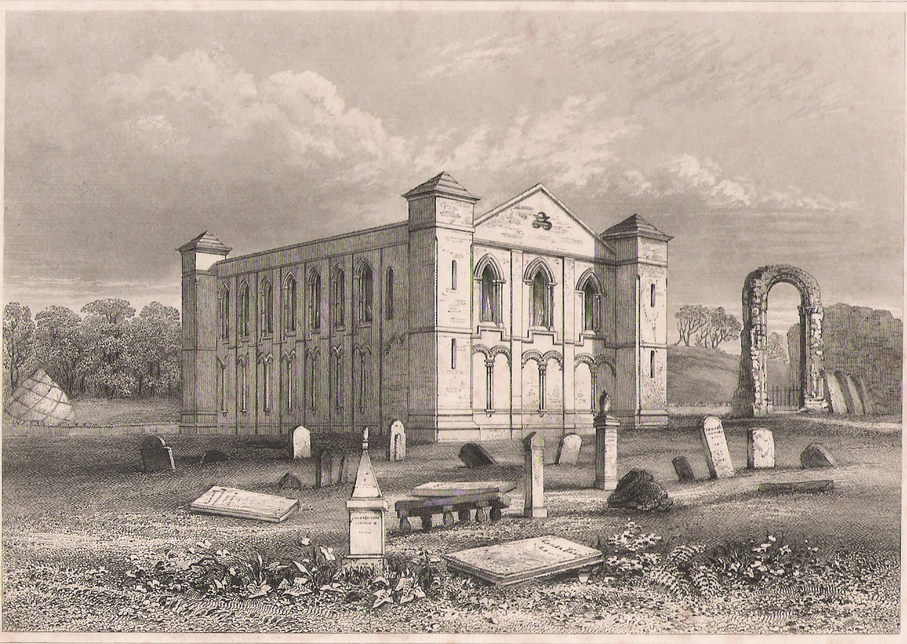
Coldingham Priory
Coldingham Priory was a house of Benedictine monks. It lies on the south-east coast of Scotland, in the village of Coldingham, Berwickshire. Coldingham...
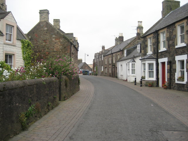
Coldingham
Coldingham (Scots: Cowjum) is a village and parish in Scottish Borders, on Scotland's southeast coastline, north of Eyemouth. == Parish == The parish lies...
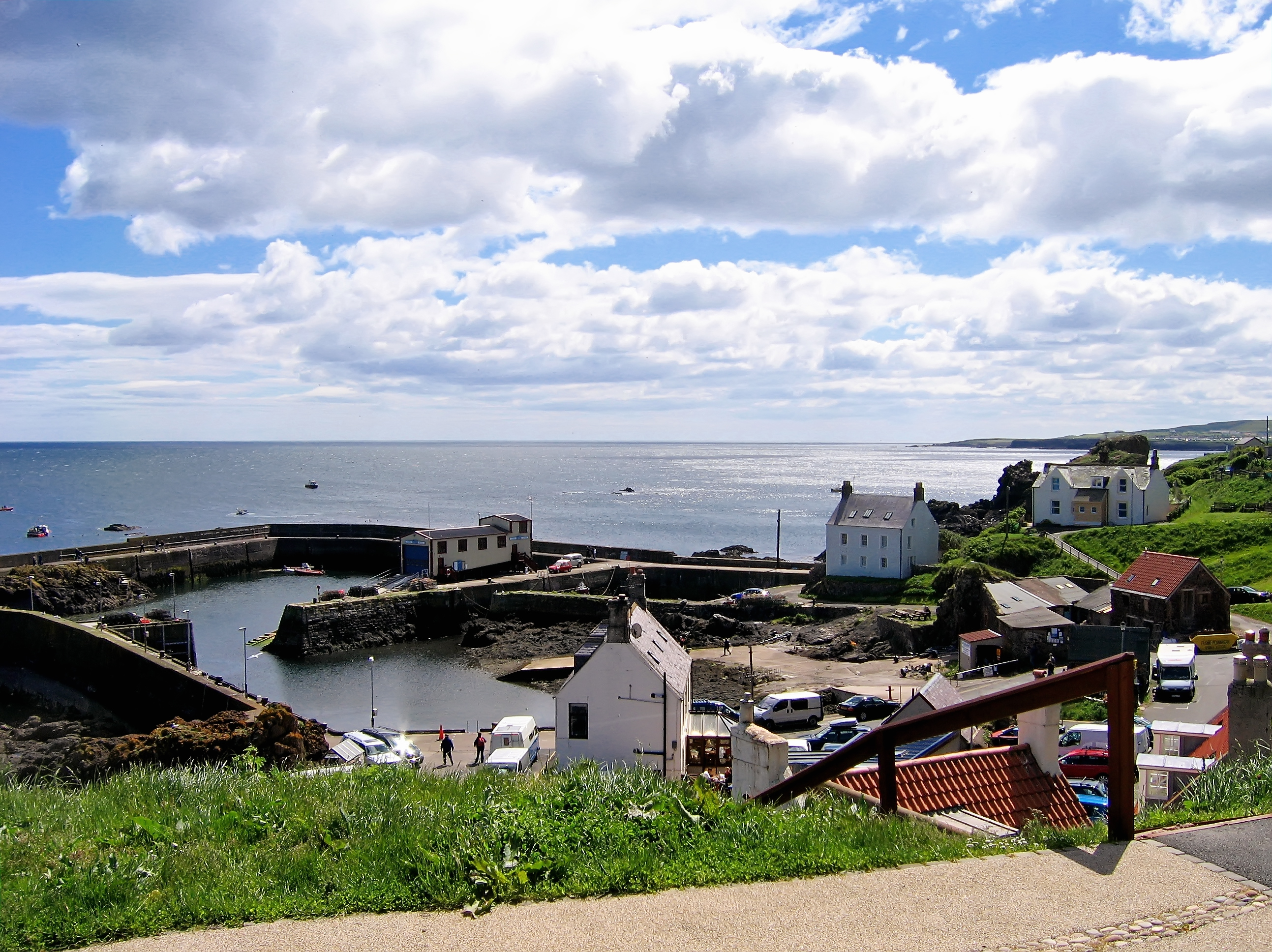
St Abbs
St Abbs is a small fishing village on the southeastern coast of Scotland, within the Coldingham parish of Scottish Borders. The village was originally...
Nearby Amenities
Located within 500m of 55.921271,-2.1906903Have you been to Step Heugh?
Leave your review of Step Heugh below (or comments, questions and feedback).