Mahound Rock
Island in Berwickshire
Scotland
Mahound Rock
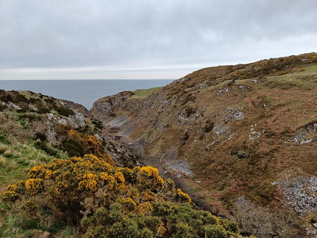
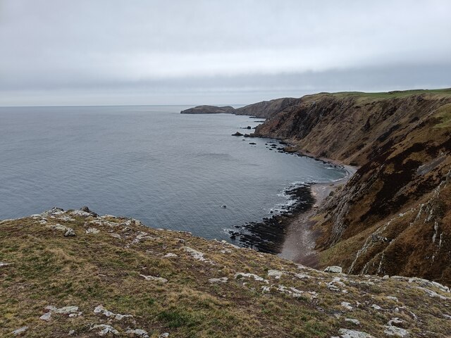
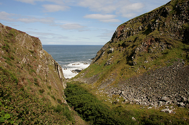
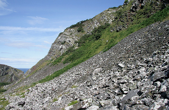
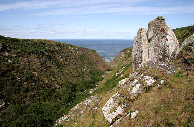
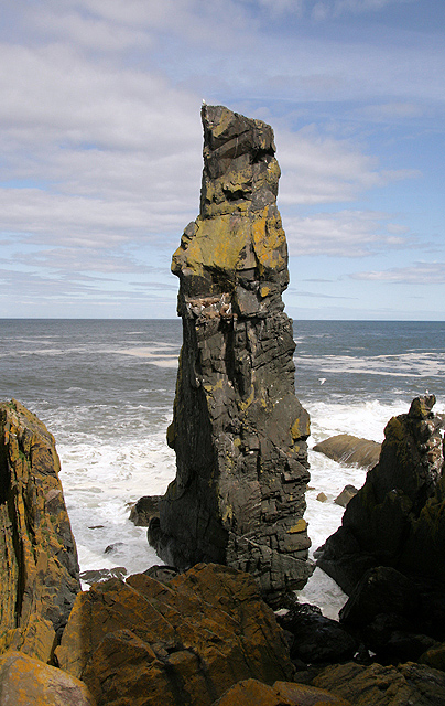
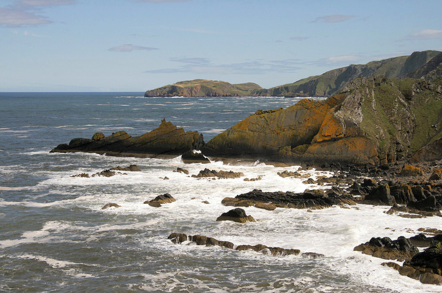
Mahound Rock is a small, uninhabited island located off the coast of Berwickshire, Scotland. Situated in the North Sea, the island is part of the Berwickshire and Northumberland National Scenic Area, renowned for its stunning natural beauty. Mahound Rock measures approximately 100 meters in length and 70 meters in width, with its highest point reaching around 15 meters above sea level.
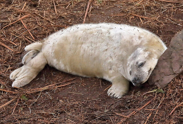
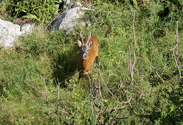
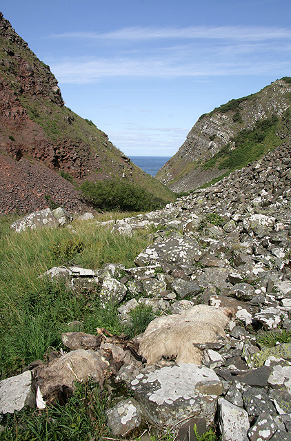
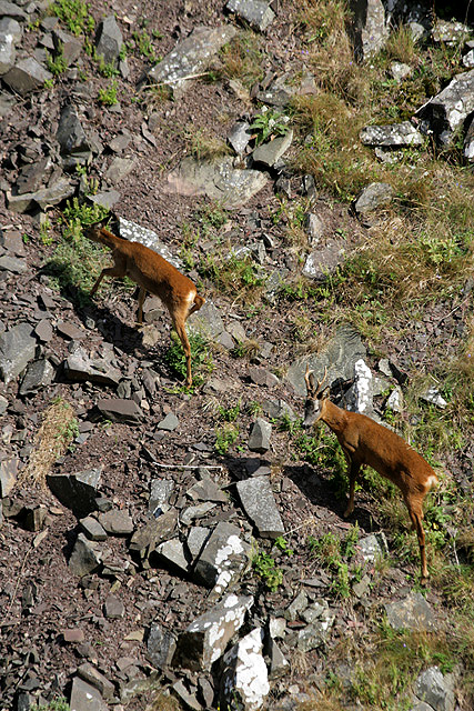
The island is predominantly composed of rugged cliffs, formed by millennia of relentless wave erosion. These cliffs provide an ideal habitat for a variety of seabird species, including puffins, guillemots, and razorbills. The surrounding waters are teeming with marine life, making it an attractive location for divers and snorkelers.
Access to Mahound Rock is limited and challenging due to its remote location and treacherous sea conditions. Visitors are advised to approach the island with caution and respect the fragile ecosystem. The island is not suitable for overnight stays or camping due to its lack of amenities and steep rocky terrain.
Although the island lacks human habitation, it holds historical significance. Local folklore suggests that the name "Mahound" may have originated from the Arabic term for the Islamic prophet Muhammad. However, there is no concrete evidence to support this claim.
For those seeking solitude and a glimpse of untamed natural beauty, Mahound Rock offers a unique and captivating destination. Its rugged cliffs, diverse wildlife, and remote location make it a must-visit for nature enthusiasts and adventure seekers.
If you have any feedback on the listing, please let us know in the comments section below.
Mahound Rock Images
Images are sourced within 2km of 55.921565/-2.1863874 or Grid Reference NT8869. Thanks to Geograph Open Source API. All images are credited.


Mahound Rock is located at Grid Ref: NT8869 (Lat: 55.921565, Lng: -2.1863874)
Unitary Authority: The Scottish Borders
Police Authority: The Lothians and Scottish Borders
What 3 Words
///immediate.slime.heat. Near Eyemouth, Scottish Borders
Nearby Locations
Related Wikis

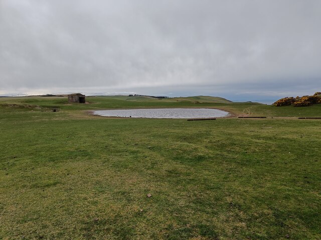
Coldingham Loch
Coldingham Loch is a freshwater loch in the parish of Coldingham, in the Scottish Borders area of Scotland, in the former Berwickshire, between Coldingham...

St Abb's Head Lighthouse
St Abb's Head Lighthouse stands on the cliffs at the rocky promontory of St Abb's Head, near the village of St Abbs in Berwickshire. A signal station was...

St Abb's Head
St Abb's Head is a rocky promontory by the village of St Abbs in Scottish Borders, Scotland, and a national nature reserve administered by the National...

Mire Loch
Mire Loch is a man made freshwater loch situated on St Abb's Head in the Scottish Borders, just over a kilometre NW of the village of St. Abbs at grid...
Nearby Amenities
Located within 500m of 55.921565,-2.1863874Have you been to Mahound Rock?
Leave your review of Mahound Rock below (or comments, questions and feedback).