Oatlee Hill
Hill, Mountain in Berwickshire
Scotland
Oatlee Hill
Oatlee Hill is a prominent hill located in the county of Berwickshire, Scotland. Rising to a height of approximately 210 meters (690 feet), it forms a distinctive feature in the local landscape. The hill is situated near the village of Oatlee, which lies in the southeastern part of the county.
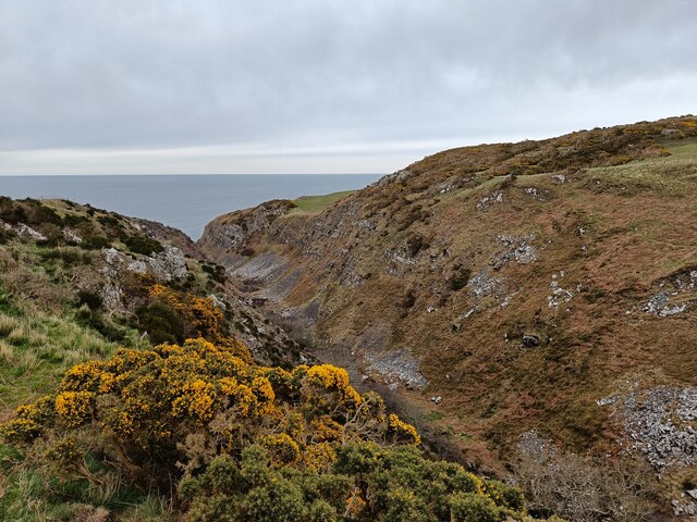
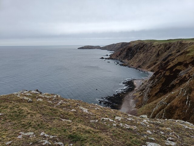
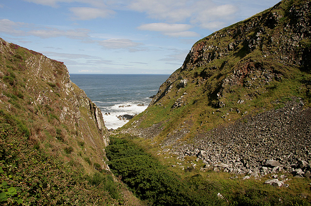
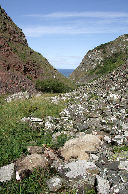
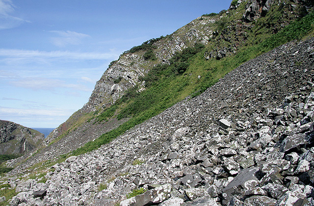
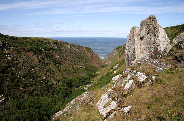
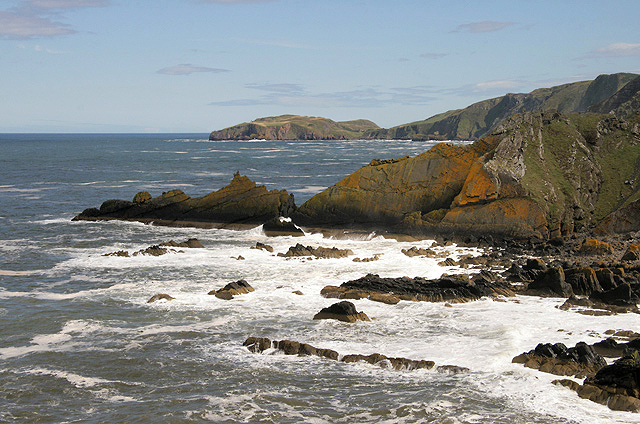
Oatlee Hill offers stunning panoramic views of the surrounding countryside, making it a popular destination for hikers, nature enthusiasts, and photographers. From its summit, one can admire the rolling green hills, fertile farmland, and the meandering River Tweed that flows nearby. On clear days, it is even possible to catch a glimpse of the North Sea in the distance.
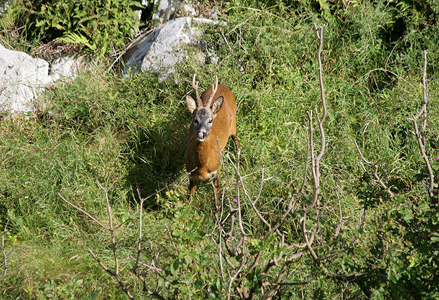
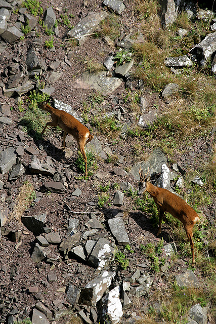
The hill is easily accessible via a network of well-maintained trails and footpaths. These routes cater to various fitness levels, ensuring that visitors of all abilities can enjoy the beauty of Oatlee Hill. The area is known for its diverse flora and fauna, with wildflowers, heather, and grasses adorning the slopes. It is not uncommon to spot various bird species, small mammals, and even deer in the vicinity.
Oatlee Hill holds historical significance, with remnants of ancient settlements and structures dating back to prehistoric times. Archaeological excavations have uncovered evidence of human activity, including burial sites and artifacts, indicating that the hill played a significant role in the lives of early inhabitants.
Overall, Oatlee Hill presents an opportunity for visitors to immerse themselves in the natural beauty and rich history of Berwickshire, offering a captivating experience for those who venture to its summit.
If you have any feedback on the listing, please let us know in the comments section below.
Oatlee Hill Images
Images are sourced within 2km of 55.918355/-2.187812 or Grid Reference NT8869. Thanks to Geograph Open Source API. All images are credited.


Oatlee Hill is located at Grid Ref: NT8869 (Lat: 55.918355, Lng: -2.187812)
Unitary Authority: The Scottish Borders
Police Authority: The Lothians and Scottish Borders
What 3 Words
///sprains.help.folk. Near Eyemouth, Scottish Borders
Nearby Locations
Related Wikis

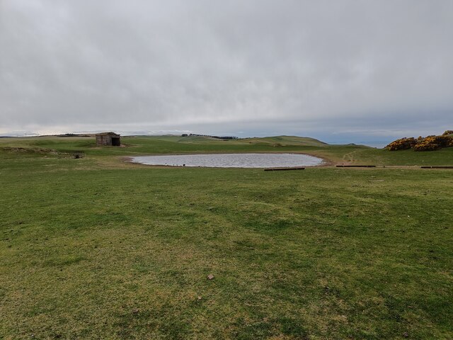
Coldingham Loch
Coldingham Loch is a freshwater loch in the parish of Coldingham, in the Scottish Borders area of Scotland, in the former Berwickshire, between Coldingham...

Mire Loch
Mire Loch is a man made freshwater loch situated on St Abb's Head in the Scottish Borders, just over a kilometre NW of the village of St. Abbs at grid...

St Abb's Head Lighthouse
St Abb's Head Lighthouse stands on the cliffs at the rocky promontory of St Abb's Head, near the village of St Abbs in Berwickshire. A signal station was...

St Abb's Head
St Abb's Head is a rocky promontory by the village of St Abbs in Scottish Borders, Scotland, and a national nature reserve administered by the National...
Nearby Amenities
Located within 500m of 55.918355,-2.187812Have you been to Oatlee Hill?
Leave your review of Oatlee Hill below (or comments, questions and feedback).