New Close Hill
Hill, Mountain in Yorkshire Richmondshire
England
New Close Hill

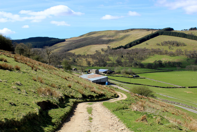
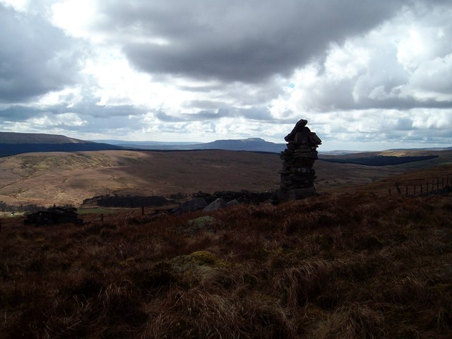
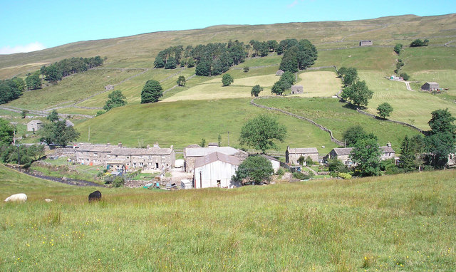
New Close Hill is a prominent hill located in the Yorkshire Dales National Park, in the northern region of England. Situated within the county of Yorkshire, this hill offers breathtaking views and serves as a popular destination for outdoor enthusiasts and nature lovers.
Rising to an elevation of approximately 480 meters (1575 feet), New Close Hill is classified as a hill rather than a mountain due to its relatively modest height. However, its position within the stunning landscape of the Yorkshire Dales provides visitors with an unrivaled vantage point to admire the surrounding valleys and rolling hills.
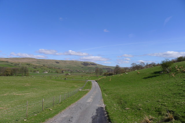
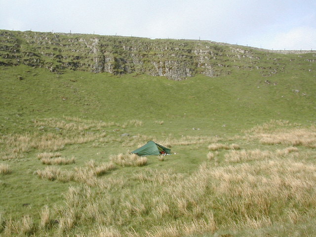
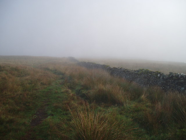
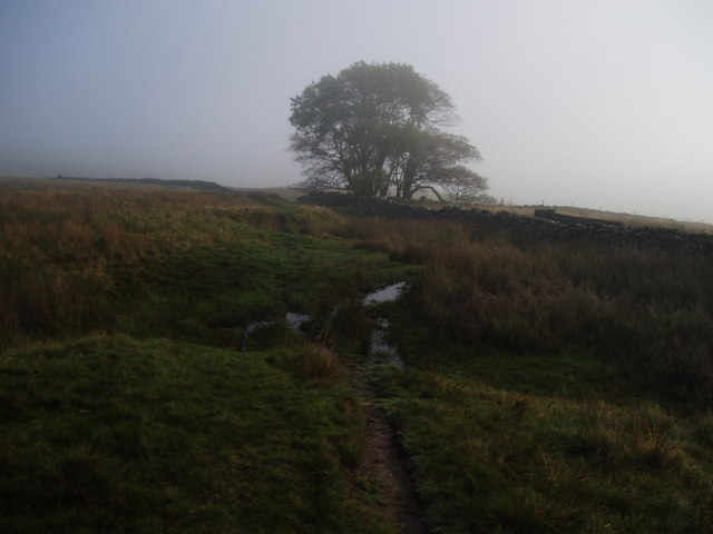
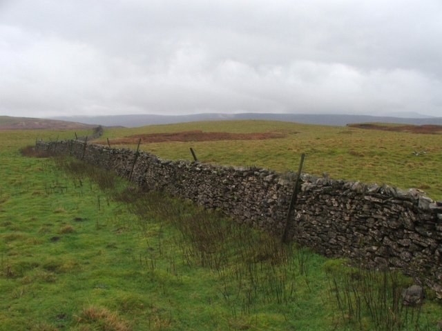
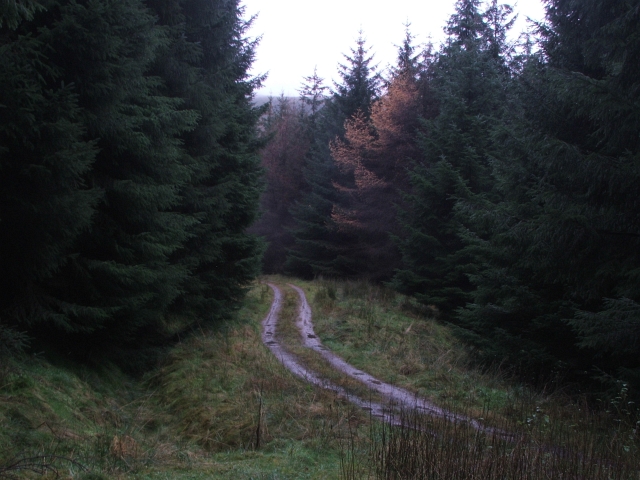
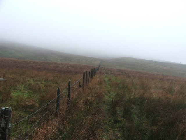
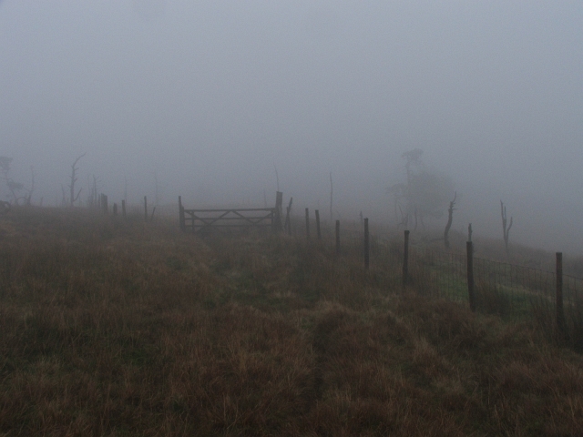
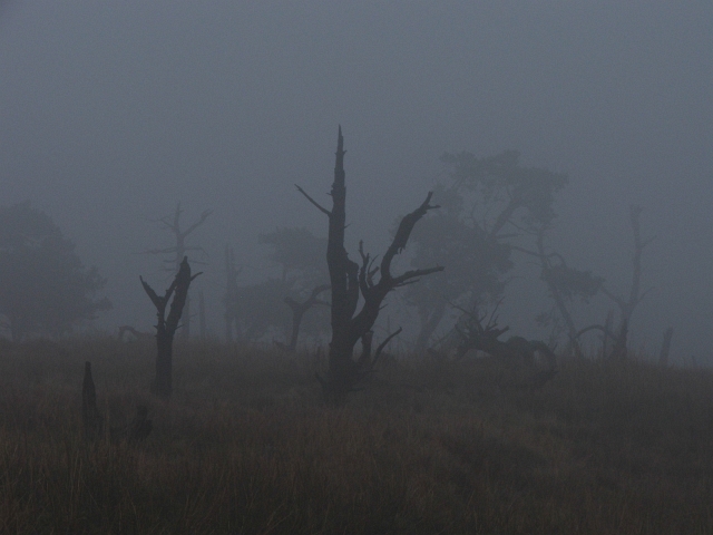
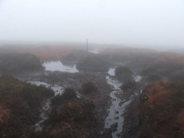
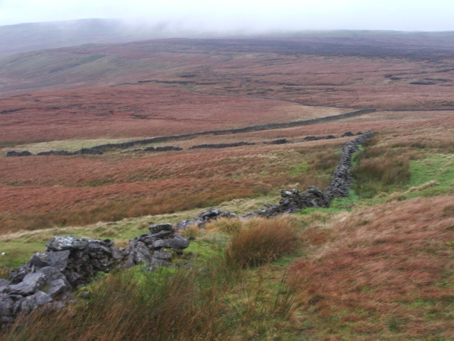
The hill is primarily composed of limestone, a characteristic feature of the Yorkshire Dales, which contributes to its distinctive appearance. The terrain is predominantly grassy, featuring scattered trees and bushes, providing a picturesque setting for hikers and walkers.
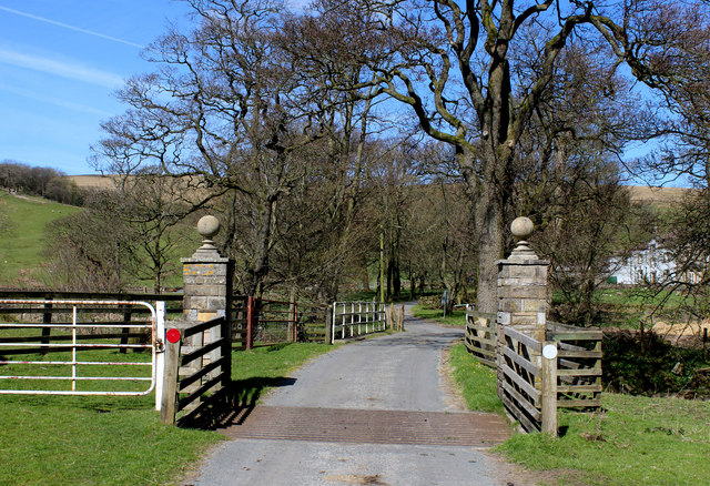
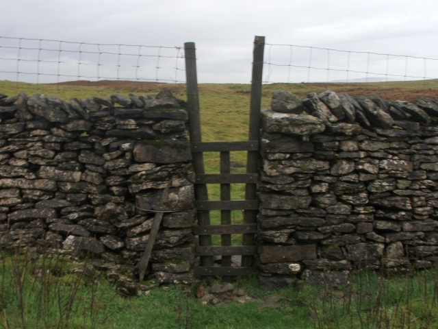
Access to New Close Hill is relatively straightforward, with several footpaths and trails leading to its summit. The most popular starting point is from the village of Malham, which lies to the east of the hill. From there, a well-marked path takes visitors through scenic countryside, gradually ascending towards the summit.
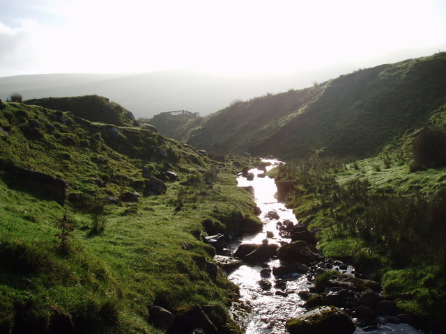
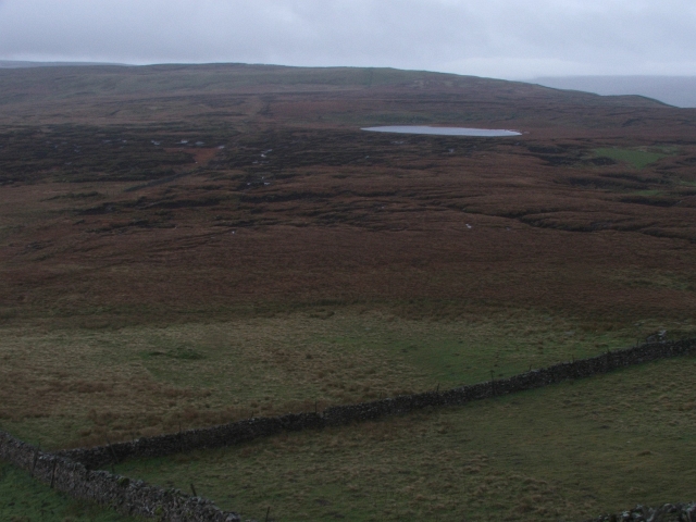
Once atop New Close Hill, visitors are rewarded with panoramic views of the surrounding countryside, including the famous Malham Cove and Malham Tarn. On clear days, it is even possible to see as far as the Three Peaks, another iconic landmark in the Yorkshire Dales.
In conclusion, New Close Hill is a picturesque hill located in the Yorkshire Dales National Park, offering stunning views and a tranquil environment for outdoor enthusiasts to explore and appreciate the natural beauty of the region.
If you have any feedback on the listing, please let us know in the comments section below.
New Close Hill Images
Images are sourced within 2km of 54.254152/-2.1797157 or Grid Reference SD8884. Thanks to Geograph Open Source API. All images are credited.

New Close Hill is located at Grid Ref: SD8884 (Lat: 54.254152, Lng: -2.1797157)
Division: North Riding
Administrative County: North Yorkshire
District: Richmondshire
Police Authority: North Yorkshire
What 3 Words
///backed.edit.rewriting. Near Settle, North Yorkshire
Nearby Locations
Related Wikis
Fleet Moss
Fleet Moss is a upland area separating Wharfedale from Wensleydale in North Yorkshire, England. The area is 1,850 ft (560 m) above sea level (although...

Yorkshire Dales National Park
The Yorkshire Dales National Park is a 2,178 km2 (841 sq mi) national park in England covering most of the Yorkshire Dales, with the notable exception...

Wether Fell
Wether Fell (archaically Wetherfell), also known as Drumaldrace (the name of its summit), is a mountain in the Yorkshire Dales National Park, in North...

Marsett
Marsett is one of three settlements in around Semer Water in Raydale, a small side dale off Wensleydale in North Yorkshire, England. Marsett is only a...
Oughtershaw
Oughtershaw is a hamlet in the Yorkshire Dales, North Yorkshire, England. It lies on a road it shares with other small villages; Deepdale, Yockenthwaite...

St Matthew's Church, Stalling Busk
St Matthew's Church, Stalling Busk is a Grade II listed parish church in the Church of England in Stalling Busk, North Yorkshire. == History == The church...

Stalling Busk
Stalling Busk is one of three settlements around Semer Water in the Richmondshire district of North Yorkshire in the small dale of Raydale just off...

Beckermonds
Beckermonds is a small hamlet in the Craven district of North Yorkshire, England. The hamlet lies at the western end of Langstrothdale, at the confluence...
Nearby Amenities
Located within 500m of 54.254152,-2.1797157Have you been to New Close Hill?
Leave your review of New Close Hill below (or comments, questions and feedback).