Woldside Plantation

Wood, Forest in Yorkshire Richmondshire

England

Woldside Plantation

Barn between the trees Close to Raydale Lodge.
Barn between the trees Credit: James Allan

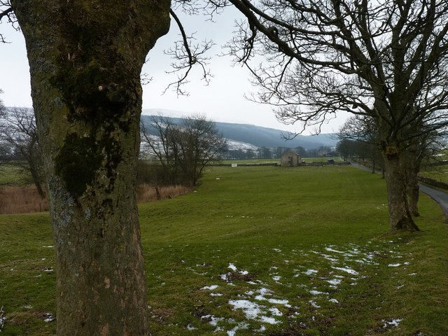
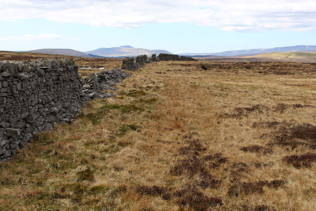
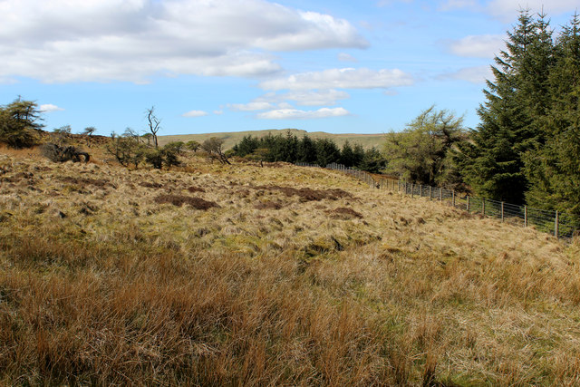
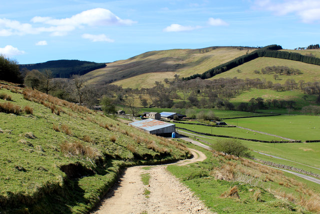
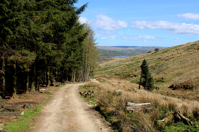
Woldside Plantation, located in the picturesque county of Yorkshire, England, is a sprawling woodland area covering approximately 500 acres. Nestled within the rolling hills of the Yorkshire Wolds, this enchanting forest is a haven for nature enthusiasts and outdoor adventurers alike.

The woodland predominantly consists of native broadleaf trees, including oak, ash, beech, and birch, creating a diverse and vibrant ecosystem. Woldside Plantation is known for its rich biodiversity, with a plethora of flora and fauna thriving within its boundaries. Visitors can expect to encounter an array of wildlife, such as deer, foxes, badgers, and a variety of bird species, making it a popular destination for birdwatchers and wildlife photographers.

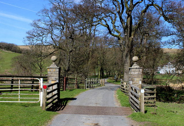
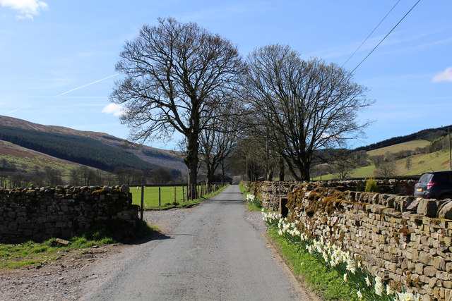
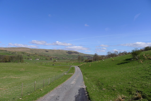
With its well-maintained network of footpaths and trails, Woldside Plantation offers ample opportunities for exploration and leisurely walks. The woodland is easily accessible, and visitors can enjoy a peaceful stroll amidst the tranquil surroundings, taking in the natural beauty and serenity of the forest.

Woldside Plantation also serves as an educational resource, as it provides a valuable learning environment for school groups and nature enthusiasts interested in studying woodland ecosystems. The plantation offers guided tours and educational workshops, allowing visitors to gain a deeper understanding of the flora, fauna, and conservation efforts in the area.

Overall, Woldside Plantation in Yorkshire is a captivating woodland retreat, offering a wonderful escape from the hustle and bustle of everyday life. Its natural beauty, diverse wildlife, and educational opportunities make it a must-visit destination for those seeking a connection with nature.

If you have any feedback on the listing, please let us know in the comments section below.

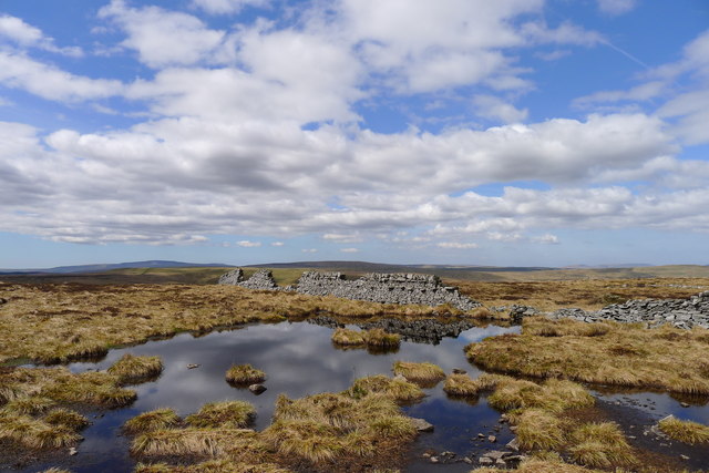
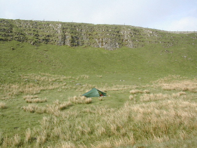
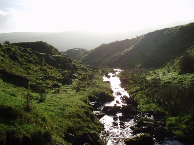
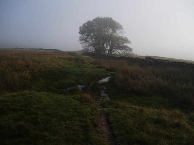
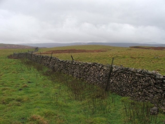
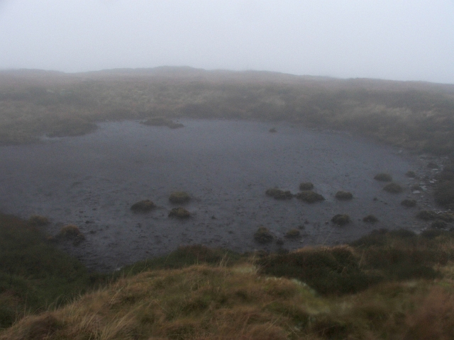
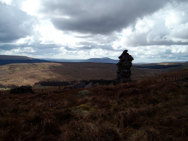
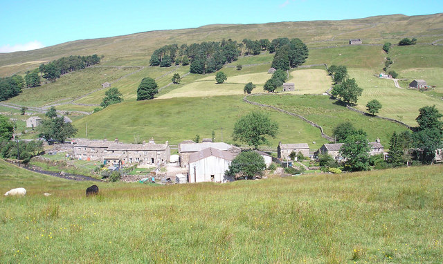
Woldside Plantation Images

Images are sourced within 2km of 54.252221/-2.1728314 or Grid Reference SD8884. Thanks to Geograph Open Source API. All images are credited.

Barn between the trees Close to Raydale Lodge.
Barn between the trees
Close to Raydale Lodge.
Raydale House Now a country house with holiday accommodation, Raydale House is not only reputed to be haunted by "Auld 'opper" but was also the scene of the Raydale Riot, when in 1617 Sir Thomas Metcalfe of Nappa Hall besieged the house with 60 armed men in a dispute with his tenant, William Robinson of Worton.
Raydale House
Now a country house with holiday accommodation, Raydale House is not only reputed to be haunted by "Auld 'opper" but was also the scene of the Raydale Riot, when in 1617 Sir Thomas Metcalfe of Nappa Hall besieged the house with 60 armed men in a dispute with his tenant, William Robinson of Worton.
Grouse Butt high above Upper Raydale Remote shooting station on high moorland between Wensleydale and Wharfedale
Grouse Butt high above Upper Raydale
Remote shooting station on high moorland between Wensleydale and Wharfedale
Broken Wall high above Upper Raydale A randon broken dry stone wall snakes across moorland - without any clear purpose or enclosure
Broken Wall high above Upper Raydale
A randon broken dry stone wall snakes across moorland - without any clear purpose or enclosure
Billinside Plantation Part of the large plantation that sits astride Upper Raydale
Billinside Plantation
Part of the large plantation that sits astride Upper Raydale
Track beside Billinside Plantation Comparatively recent shooting track descending towards Raydale
Track beside Billinside Plantation
Comparatively recent shooting track descending towards Raydale
Descending into Raydale Shooting track dropping down towards Raydale House
Descending into Raydale
Shooting track dropping down towards Raydale House
Beside Raydale House Plantation Shooting track descending into Raydale, beside a large plantation
Beside Raydale House Plantation
Shooting track descending into Raydale, beside a large plantation
Cattle Grid above Raydale Beck The elaborate gateposts announce the entrance to Raydale House - although the map marks the road as part of the Queen's Highway.
Cattle Grid above Raydale Beck
The elaborate gateposts announce the entrance to Raydale House - although the map marks the road as part of the Queen's Highway.
Road to Upper Raydale Narrow lane leading up the dale to terminate at Raydale House
Road to Upper Raydale
Narrow lane leading up the dale to terminate at Raydale House
Raydale From close to Raydale House, at the head of the dale
Raydale
From close to Raydale House, at the head of the dale
On top of Cragdale Moor
Jefferey Pot Scar Looking up at Jeffery Pot Scar from a remote camp.
Jefferey Pot Scar
Looking up at Jeffery Pot Scar from a remote camp.
Blind Beck One of the many becks that run down the northern slopes of Bardale to join Bardale Beck, then to join Raydale Beck before flowing into Semerwater as Crook Beck.
Blind Beck
One of the many becks that run down the northern slopes of Bardale to join Bardale Beck, then to join Raydale Beck before flowing into Semerwater as Crook Beck.
A moorland beck in Bardale Cow Stand Gill running down from the northern slopes of Bardale to join Bardale Beck.
A moorland beck in Bardale
Cow Stand Gill running down from the northern slopes of Bardale to join Bardale Beck.
Bleak Moorland Scene This lone tree stands by a gate on the track down Bardale
Bleak Moorland Scene
This lone tree stands by a gate on the track down Bardale
Drystone Wall on Wolside. Just S of Jeffery Pot Scar.
Drystone Wall on Wolside.
Just S of Jeffery Pot Scar.
Pond above Raydale. Despite the bad weather this pond is strangely dry.
Pond above Raydale.
Despite the bad weather this pond is strangely dry.
Show me another place!

Woldside Plantation is located at Grid Ref: SD8884 (Lat: 54.252221, Lng: -2.1728314)

Division: North Riding

Administrative County: North Yorkshire

District: Richmondshire

Police Authority: North Yorkshire

What 3 Words

///showrooms.alone.plastic. Near Settle, North Yorkshire

Related Wikis

Fleet Moss

Fleet Moss is a upland area separating Wharfedale from Wensleydale in North Yorkshire, England. The area is 1,850 ft (560 m) above sea level (although...

Marsett

Marsett is one of three settlements in around Semer Water in Raydale, a small side dale off Wensleydale in North Yorkshire, England. Marsett is only a...

Yorkshire Dales National Park

The Yorkshire Dales National Park is a 2,178 km2 (841 sq mi) national park in England covering most of the Yorkshire Dales, with the notable exception...

Wether Fell

Wether Fell (archaically Wetherfell), also known as Drumaldrace (the name of its summit), is a mountain in the Yorkshire Dales National Park, in North...

Oughtershaw

Oughtershaw is a hamlet in the Yorkshire Dales, North Yorkshire, England. It lies on a road it shares with other small villages; Deepdale, Yockenthwaite...

St Matthew's Church, Stalling Busk

St Matthew's Church, Stalling Busk is a Grade II listed parish church in the Church of England in Stalling Busk, North Yorkshire. == History == The church...

Stalling Busk

Stalling Busk is one of three settlements around Semer Water in the Richmondshire district of North Yorkshire in the small dale of Raydale just off...

Beckermonds

Beckermonds is a small hamlet in the Craven district of North Yorkshire, England. The hamlet lies at the western end of Langstrothdale, at the confluence...

Nearby Amenities

Located within 500m of 54.252221,-2.1728314
New Close
Is In Country Code: GB
Is In County: North Yorkshire
Is In Municipality: Richmondshire
Natural: fell
Source: NPE
Lat/Long: 54.2549292/-2.1763004
The data included in this document is from www.openstreetmap.org. The data is made available under ODbL.

Have you been to Woldside Plantation?

Leave your review of Woldside Plantation below (or comments, questions and feedback).