Highbirch Wood
Wood, Forest in Cheshire
England
Highbirch Wood
Highbirch Wood is a picturesque woodland located in the county of Cheshire, England. Covering an area of approximately 50 acres, it is known for its diverse range of flora and fauna, making it a popular destination for nature enthusiasts and walkers alike.
The wood is predominantly made up of deciduous trees, including oak, beech, and birch. These majestic trees provide a stunning canopy during the spring and summer months, offering shade and shelter to the woodland floor below. In autumn, the wood is transformed into a tapestry of vibrant colors as the leaves change, creating a breathtaking sight for visitors.
Home to numerous species of birds, Highbirch Wood is a birdwatcher's paradise. The wood provides a nesting habitat for a variety of birds, including woodpeckers, tits, and finches. Visitors may also spot other woodland creatures such as squirrels, rabbits, and even deer, adding to the natural charm of the area.
The wood is crisscrossed by a network of footpaths and trails, allowing visitors to explore its beauty at their own pace. These paths lead to various viewpoints, offering stunning vistas of the surrounding countryside. Additionally, there are designated picnic areas and benches scattered throughout the wood, providing visitors with the perfect opportunity to relax and enjoy the tranquility of their surroundings.
Highbirch Wood offers a peaceful retreat from the hustle and bustle of everyday life, providing an escape into nature's embrace. Whether it's a leisurely stroll, a birdwatching adventure, or a family picnic, this woodland gem in Cheshire offers something for everyone to enjoy.
If you have any feedback on the listing, please let us know in the comments section below.
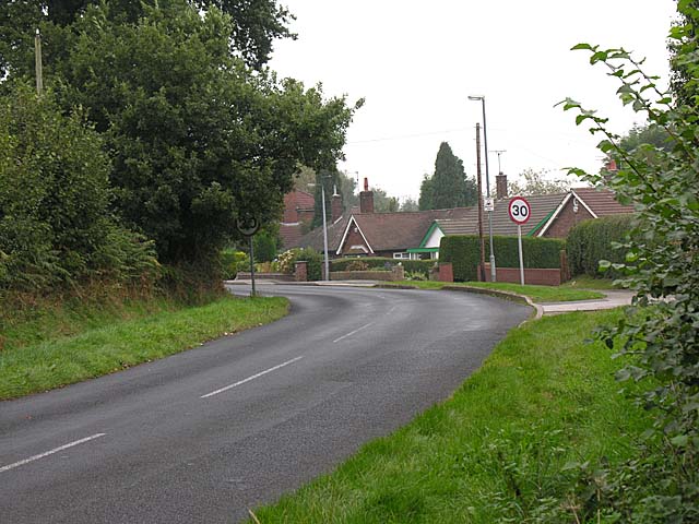
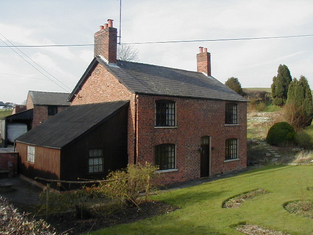
Highbirch Wood Images
Images are sourced within 2km of 53.244667/-2.1687838 or Grid Reference SJ8871. Thanks to Geograph Open Source API. All images are credited.


Highbirch Wood is located at Grid Ref: SJ8871 (Lat: 53.244667, Lng: -2.1687838)
Unitary Authority: Cheshire East
Police Authority: Cheshire
What 3 Words
///question.cabs.notice. Near Macclesfield, Cheshire
Nearby Locations
Related Wikis

Warren, Cheshire
Warren is the traditional name for the largest settlement in the civil parish of Gawsworth in Cheshire, England. It is situated just to the north west...

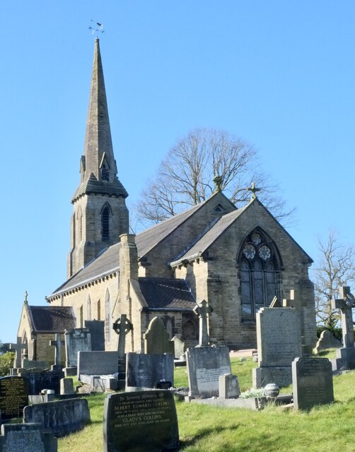
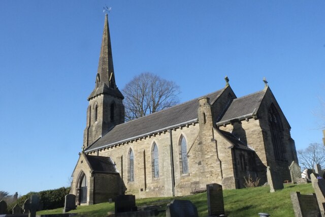
St Thomas' Church, Henbury
St Thomas' Church is in Church Lane in the village of Henbury, Cheshire, England. It is an active Anglican parish church in the deanery of Macclesfield...

Henbury High School
Henbury High School was a comprehensive school for girls and boys aged 11 – 18 in Macclesfield, Cheshire, England, established in 1958. Henbury High closed...
Henbury, Cheshire
Henbury is a village and civil parish in the unitary authority of Cheshire East and the ceremonial county of Cheshire, England. According to the 2001 census...

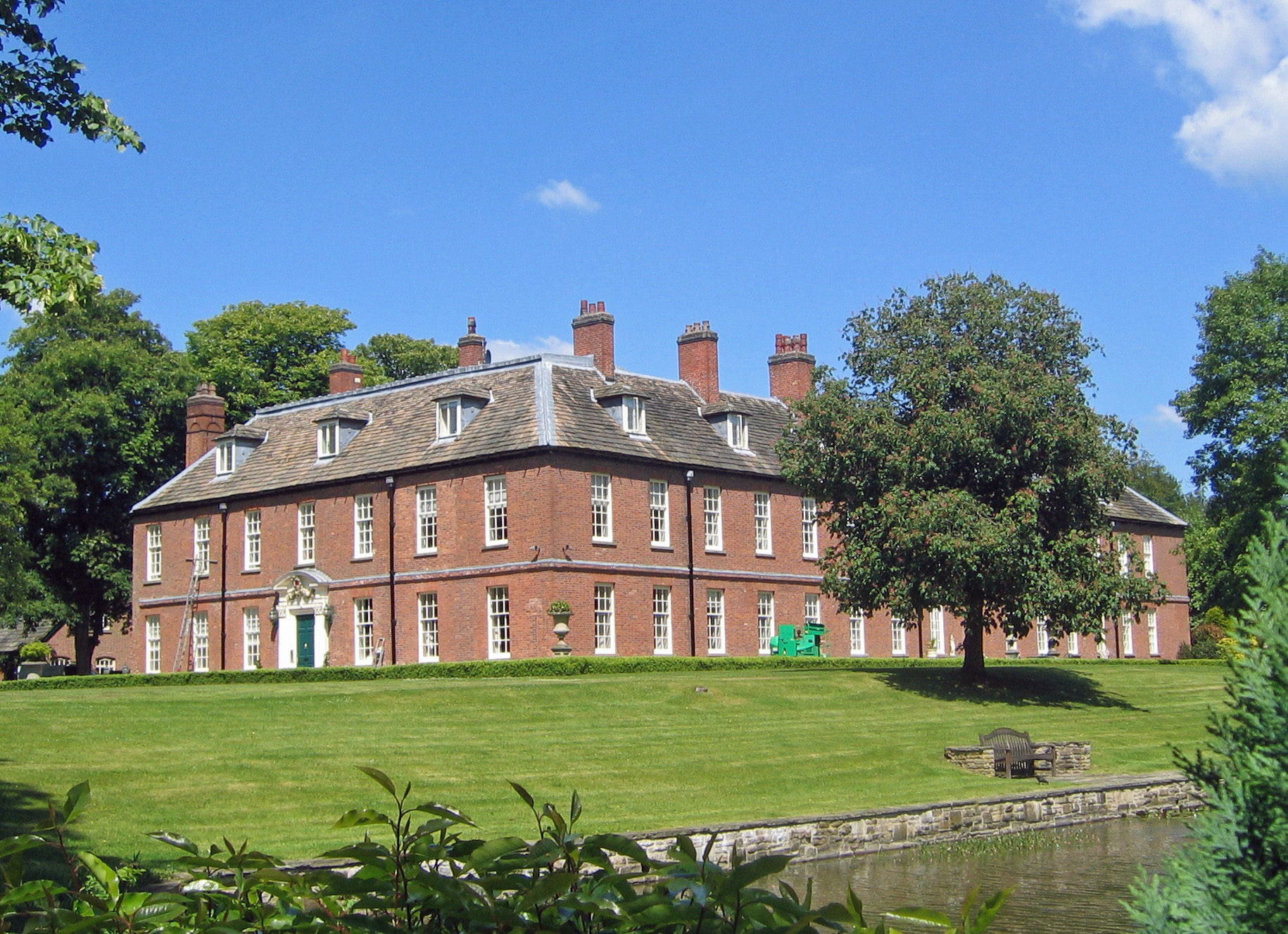
Henbury Hall, Cheshire
Henbury Hall is a country house about 1 mile (1.6 km) southwest of the village of Henbury in Cheshire, England. The present house was built during the...
Gawsworth New Hall
Gawsworth New Hall is a country house in the village of Gawsworth, Cheshire, England. It is recorded in the National Heritage List for England as a designated...

Macclesfield College
Macclesfield College is a Further Education College in Macclesfield, Cheshire which primarily offers BTEC and NVQ qualifications. The college is noted...
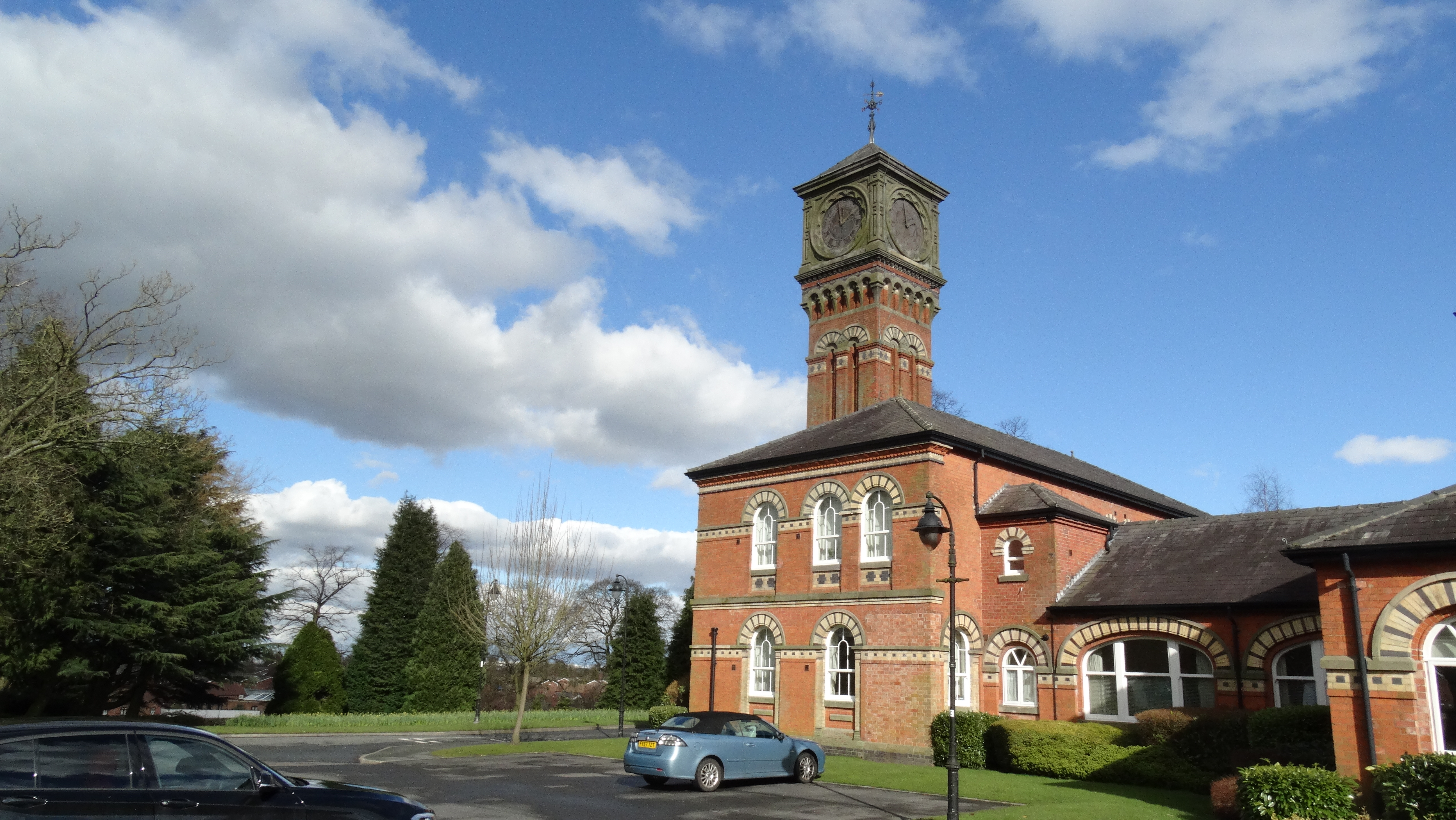
Parkside Hospital
Parkside Hospital was a mental health facility at Victoria Road in Macclesfield, Cheshire, England. The administration block survives and is a Grade II...
Nearby Amenities
Located within 500m of 53.244667,-2.1687838Have you been to Highbirch Wood?
Leave your review of Highbirch Wood below (or comments, questions and feedback).