Craigavaig
Coastal Feature, Headland, Point in Inverness-shire
Scotland
Craigavaig
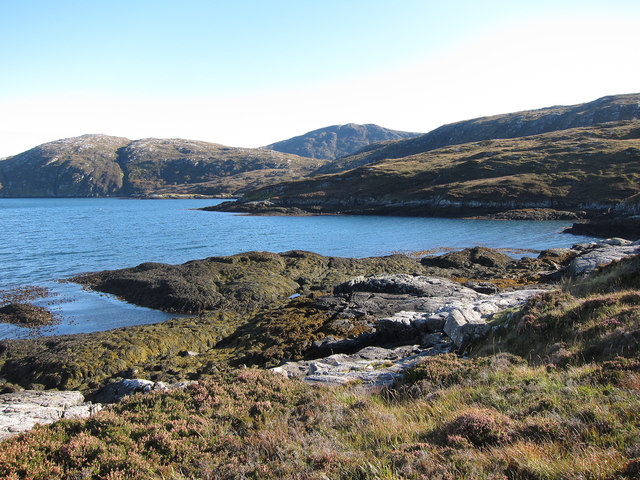
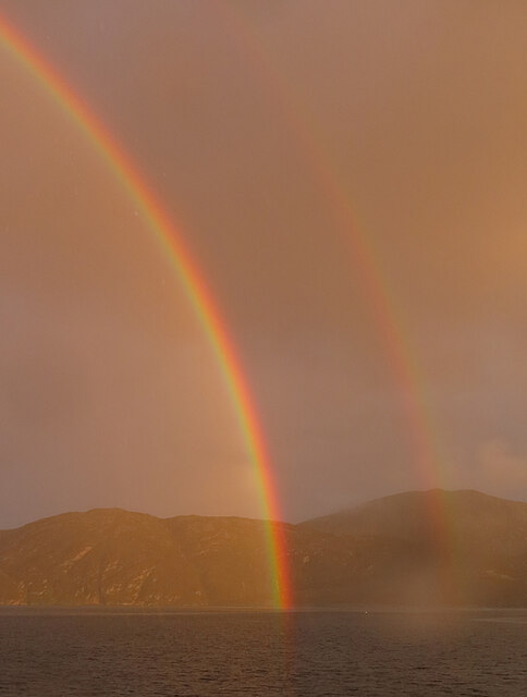
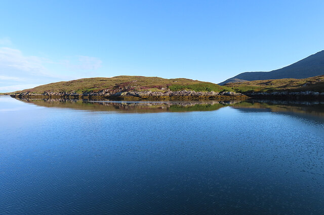
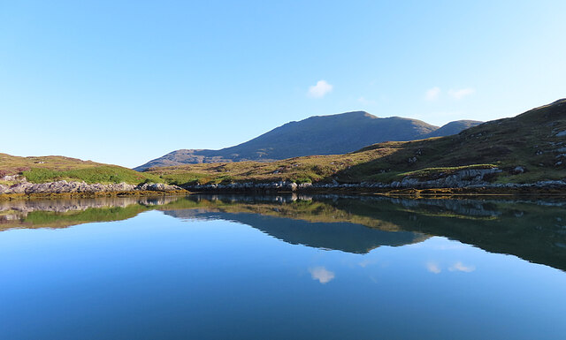
Craigavaig is a prominent coastal feature located in Inverness-shire, Scotland. It is primarily known as a headland or a point, extending into the North Sea. Situated on the eastern coast of the Scottish Highlands, this natural formation offers breathtaking views and is a popular destination for tourists and locals alike.
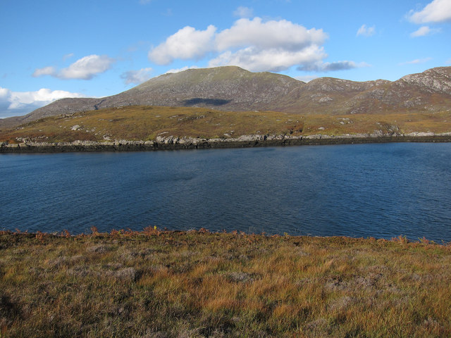
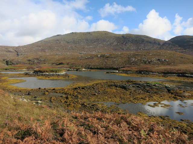
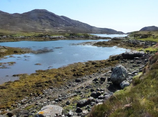
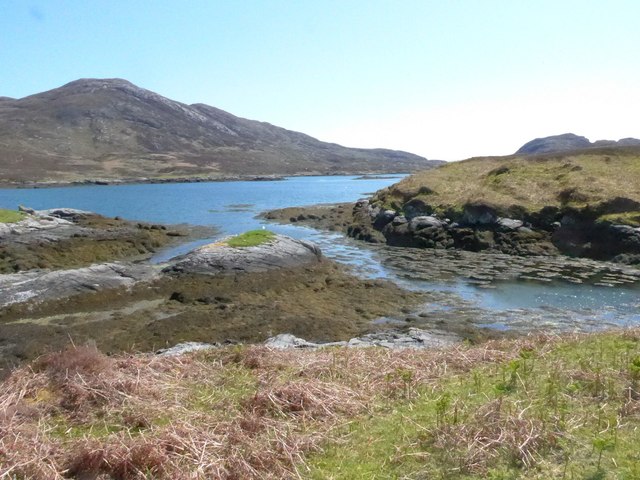
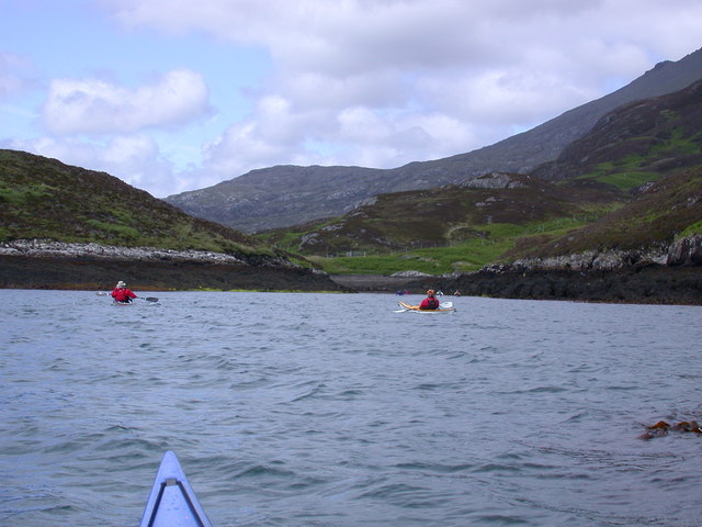
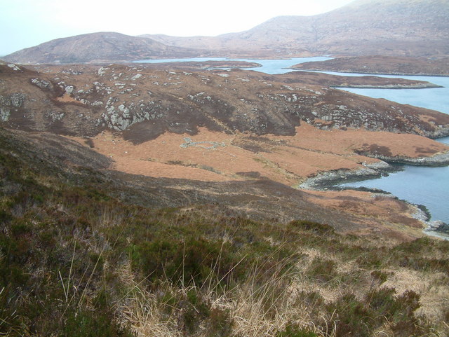
The headland of Craigavaig is characterized by its rugged and rocky terrain, with cliffs that rise steeply from the sea. The cliff faces are composed of various rock types, including sandstone and granite, which have been shaped by years of erosion from the crashing waves. These cliffs provide nesting sites for a variety of seabirds, such as gulls and puffins, making it a paradise for birdwatchers.
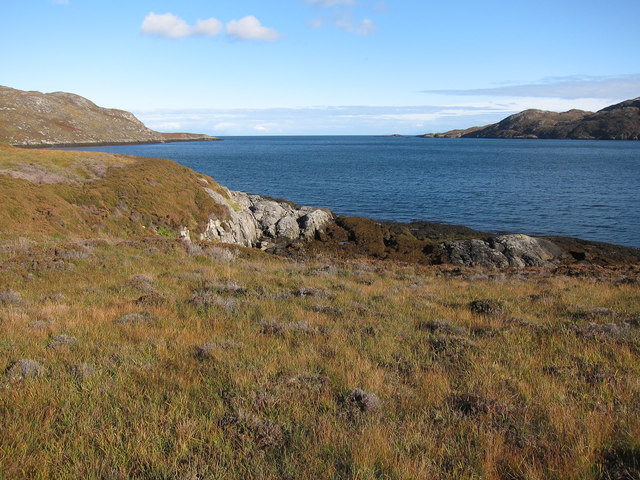
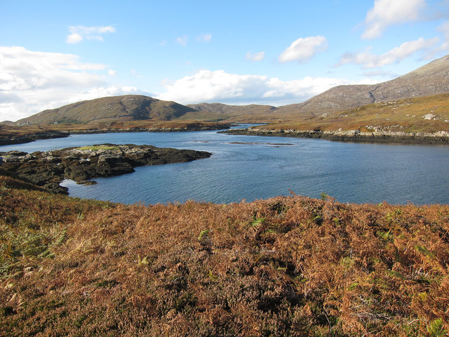
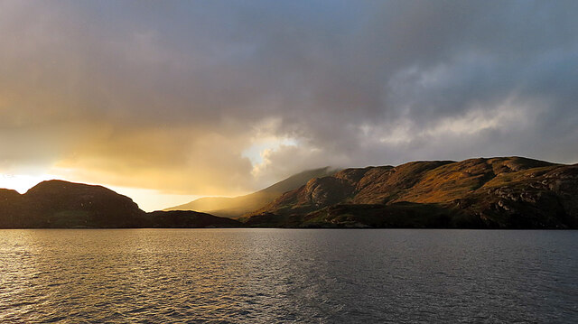
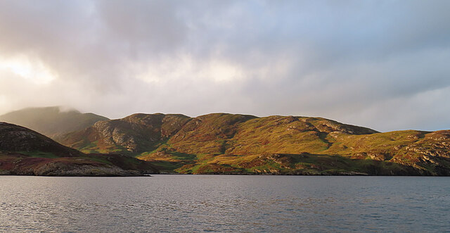
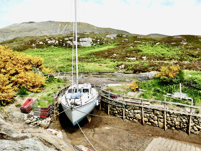
Craigavaig also boasts a picturesque coastline, with its jagged edges and hidden coves. The pebble beaches that line its shores are perfect for leisurely walks or picnics, while the clear blue waters invite swimmers and kayakers to explore its depths.
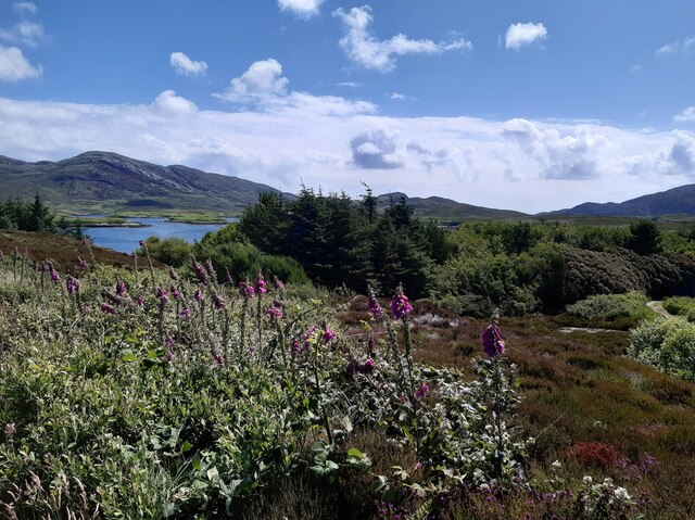
The headland is easily accessible by foot, with several walking trails leading to its summit. From the top, visitors are rewarded with panoramic views of the surrounding landscapes, including the nearby town of Inverness and the Moray Firth. On clear days, it is even possible to catch a glimpse of the distant mountains of the Scottish Highlands.
Craigavaig is not only a natural wonder but also a site of historical significance. It is said to have been a strategic lookout point during ancient times, providing vantage points for early inhabitants to survey the coast for potential threats.
In summary, Craigavaig in Inverness-shire is a captivating coastal headland that combines stunning natural beauty, diverse wildlife, and a rich history. It is a must-visit destination for those seeking an immersive experience in the Scottish Highlands.
If you have any feedback on the listing, please let us know in the comments section below.
Craigavaig Images
Images are sourced within 2km of 57.221384/-7.3095245 or Grid Reference NF7927. Thanks to Geograph Open Source API. All images are credited.
Craigavaig is located at Grid Ref: NF7927 (Lat: 57.221384, Lng: -7.3095245)
Unitary Authority: Na h-Eileanan an Iar
Police Authority: Highlands and Islands
What 3 Words
///pairings.nipping.umbrellas. Near Lochboisdale, Na h-Eileanan Siar
Nearby Locations
Related Wikis

Beinn Mhòr (South Uist)
Beinn Mhòr is a mountain on the island of South Uist in the Outer Hebrides of Scotland. With a height of 620 metres (2,034 ft), it is the highest point...

Stuley
Stuley is an island lying to the east of South Uist in the Outer Hebrides, Scotland. It lies off the section of coastline between Loch Eynort and Loch...

South Uist
South Uist (Scottish Gaelic: Uibhist a Deas, [ˈɯ.ɪʃtʲ ə ˈtʲes̪] ; Scots: Sooth Uist) is the second-largest island of the Outer Hebrides in Scotland. At...

Milton (South Uist)
Milton (Scottish Gaelic: Geàrraidh Bhailteas) is the name of a tack or tenant farm on the island of South Uist in the Outer Hebrides, Scotland. It was...

Askernish
Askernish (Scottish Gaelic: Àisgearnais, Aisgernis) is a crofting community on South Uist, in the Outer Hebrides, Scotland. Askernish is in the parish...

Bornish
Bornish (Scottish Gaelic: Bòrnais) is a village and community council area on South Uist in the Outer Hebrides, Scotland. Bornish is also within the civil...

Auratote
Auratote (Scottish Gaelic: Oratobht) is a location on South Uist in the Outer Hebrides, Scotland. Auratote is within the parish of South Uist. == References... ==

Daliburgh
Daliburgh (Scottish Gaelic: Dalabrog) is a crofting township on South Uist, in the Outer Hebrides, Scotland. Daliburgh is situated 1+1⁄2 miles (2.5 kilometres...
Have you been to Craigavaig?
Leave your review of Craigavaig below (or comments, questions and feedback).