Rubha na h-Eighich
Coastal Feature, Headland, Point in Inverness-shire
Scotland
Rubha na h-Eighich
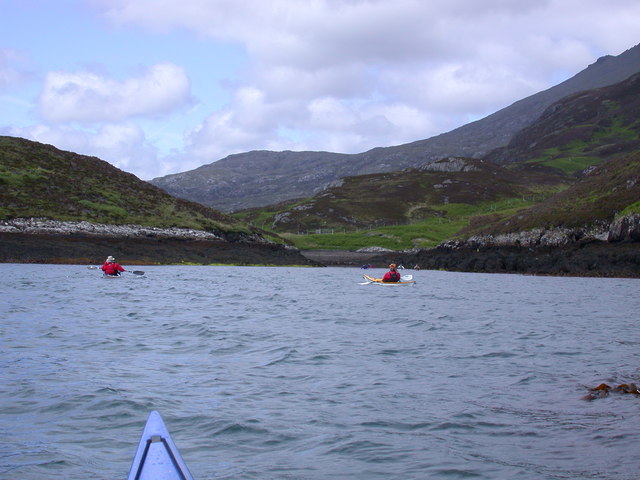
Rubha na h-Eighich, located in Inverness-shire, Scotland, is a captivating coastal feature that boasts a remarkable headland and point. This stunning geographical formation is situated on the western coast of Scotland, in close proximity to the village of Lochcarron.
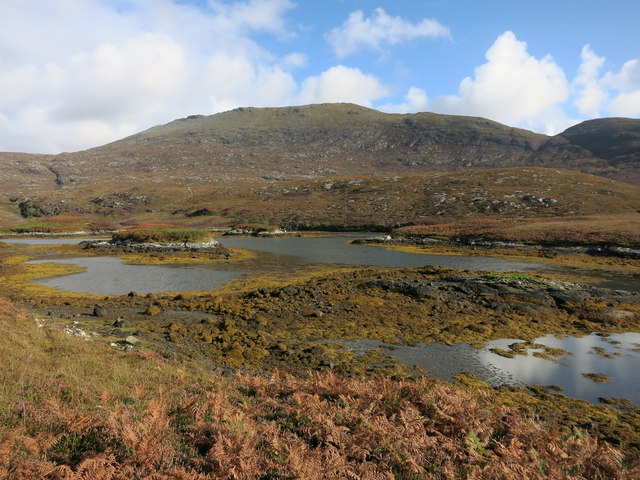
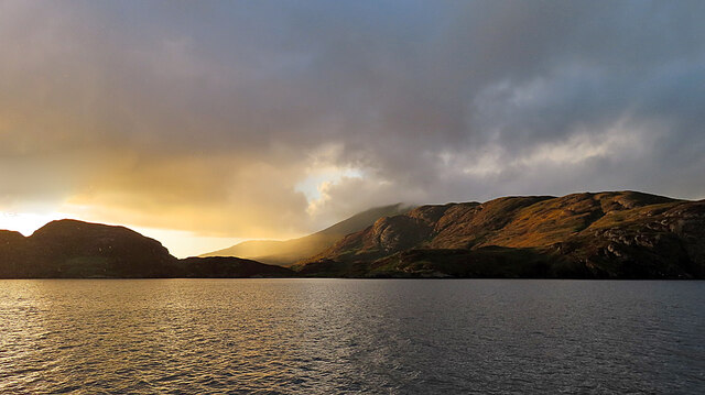
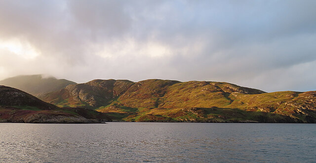
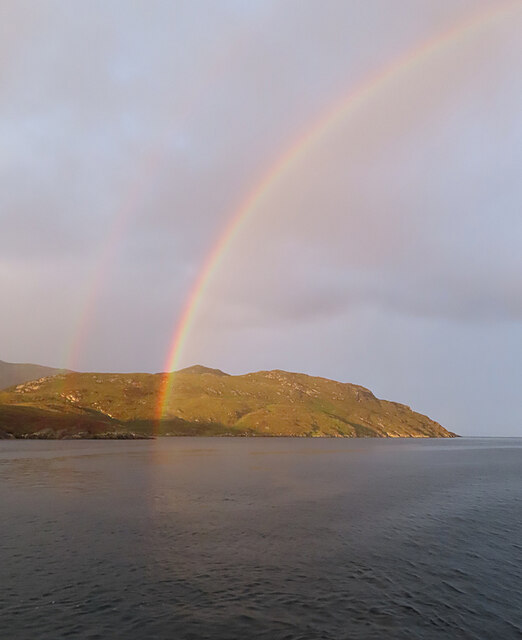
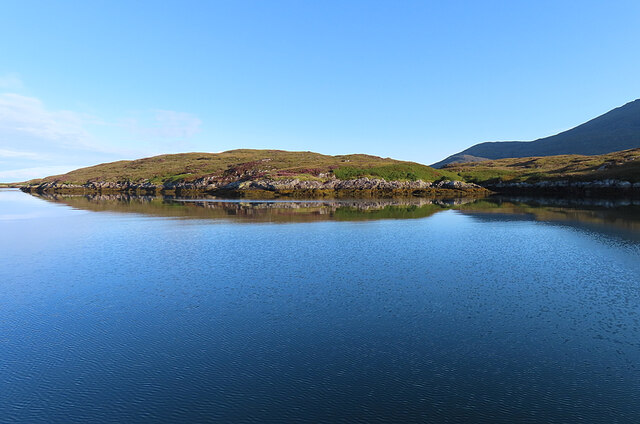
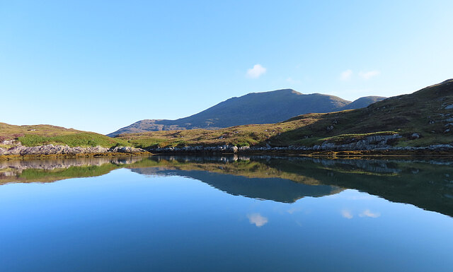
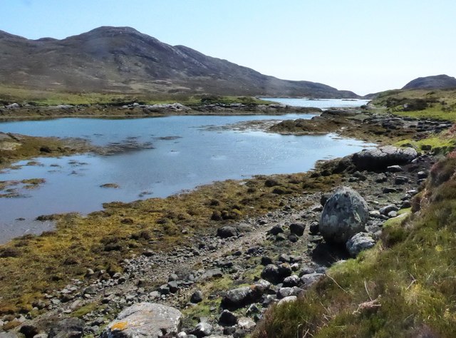
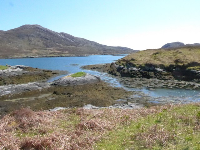
Rubha na h-Eighich is characterized by its rugged and dramatic landscape, making it a popular destination for those seeking breathtaking natural beauty. The headland juts out into the sea, offering stunning panoramic views of the surrounding area. With its towering cliffs and crashing waves, it is a haven for nature enthusiasts and photographers alike.
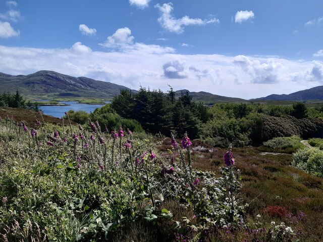
The point is home to a diverse range of flora and fauna, providing a rich ecosystem. The headland is covered in lush green vegetation, including heather, grasses, and wildflowers, creating a picturesque scene. Visitors can expect to encounter various species of birds, such as gannets, puffins, and cormorants, as well as seals and sometimes even dolphins or whales swimming offshore.
Rubha na h-Eighich also holds historical significance, with remnants of ancient settlements and defensive structures scattered across the headland. These archaeological sites offer a glimpse into Scotland's past, adding an additional layer of intrigue to the already captivating landscape.
Access to Rubha na h-Eighich is relatively straightforward, with a well-maintained walking path leading visitors to the headland. It is recommended to wear appropriate footwear, as the terrain can be uneven and slippery.
In conclusion, Rubha na h-Eighich in Inverness-shire is a breathtaking coastal feature that showcases the raw beauty of Scotland's western coast. With its majestic cliffs, diverse wildlife, and historical significance, it is a must-visit destination for nature lovers and history enthusiasts alike.
If you have any feedback on the listing, please let us know in the comments section below.
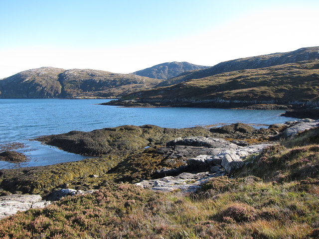
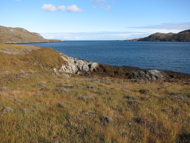
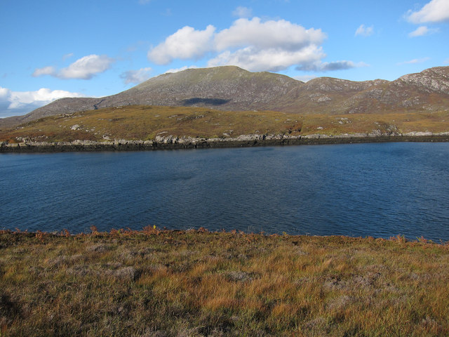
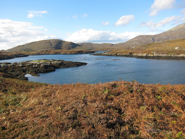
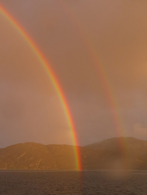
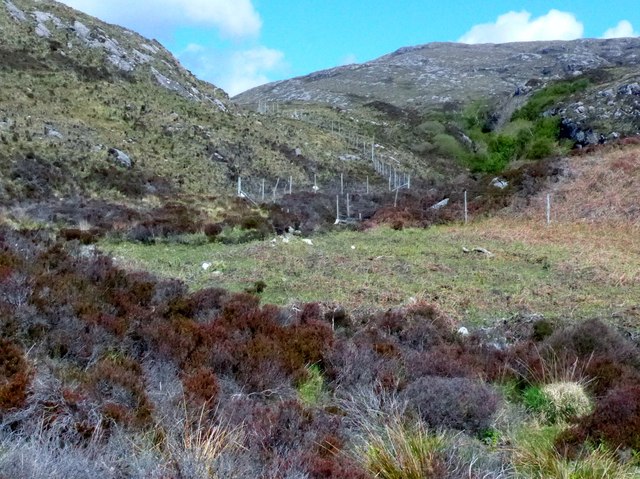
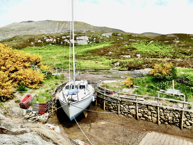
Rubha na h-Eighich Images
Images are sourced within 2km of 57.228263/-7.3128385 or Grid Reference NF7927. Thanks to Geograph Open Source API. All images are credited.
Rubha na h-Eighich is located at Grid Ref: NF7927 (Lat: 57.228263, Lng: -7.3128385)
Unitary Authority: Na h-Eileanan an Iar
Police Authority: Highlands and Islands
What 3 Words
///foal.occupations.hospitals. Near Lochboisdale, Na h-Eileanan Siar
Nearby Locations
Related Wikis

Beinn Mhòr (South Uist)
Beinn Mhòr is a mountain on the island of South Uist in the Outer Hebrides of Scotland. With a height of 620 metres (2,034 ft), it is the highest point...

South Uist
South Uist (Scottish Gaelic: Uibhist a Deas, [ˈɯ.ɪʃtʲ ə ˈtʲes̪] ; Scots: Sooth Uist) is the second-largest island of the Outer Hebrides in Scotland. At...

Milton (South Uist)
Milton (Scottish Gaelic: Geàrraidh Bhailteas) is the name of a tack or tenant farm on the island of South Uist in the Outer Hebrides, Scotland. It was...

Stuley
Stuley is an island lying to the east of South Uist in the Outer Hebrides, Scotland. It lies off the section of coastline between Loch Eynort and Loch...
Nearby Amenities
Located within 500m of 57.228263,-7.3128385Have you been to Rubha na h-Eighich?
Leave your review of Rubha na h-Eighich below (or comments, questions and feedback).