Àird Bhuidhe
Coastal Feature, Headland, Point in Inverness-shire
Scotland
Àird Bhuidhe
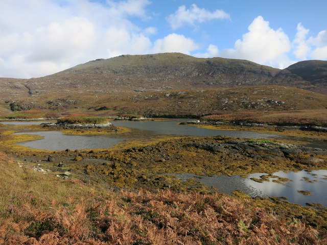
Àird Bhuidhe is a prominent coastal feature located in Inverness-shire, Scotland. It is a headland that extends into the North Atlantic Ocean, forming a distinctive point along the rugged coastline. The name "Àird Bhuidhe" translates to "yellow headland" in Gaelic, which accurately describes the unique coloration of the cliffs and rocks that make up this geological formation.
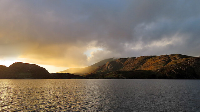
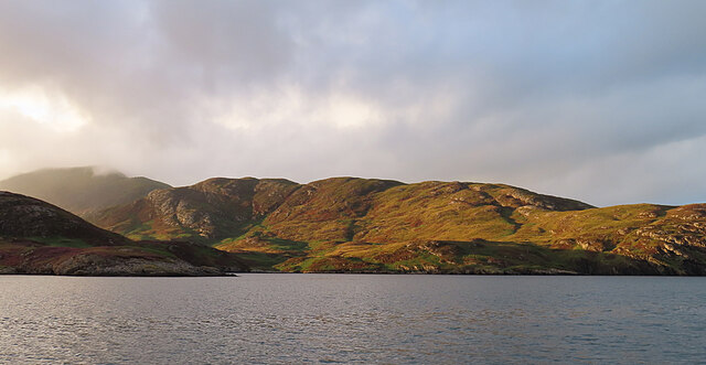
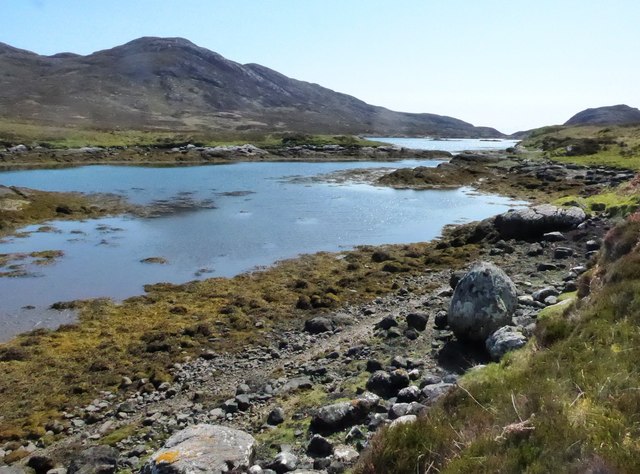
The headland is characterized by towering cliffs that rise dramatically from the sea, reaching heights of up to 150 meters. These cliffs are composed of a variety of sedimentary rocks, including sandstone and shale, which have been shaped by centuries of erosion from wind and waves. As a result, the headland features intricate geological formations, such as caves, arches, and stacks, which add to its aesthetic appeal.
The coastal area surrounding Àird Bhuidhe is rich in biodiversity, with diverse marine and bird species calling it home. Seabirds, such as puffins, gulls, and razorbills, can be spotted nesting and foraging along the cliffs. The surrounding waters are also known for their abundance of marine life, including seals, dolphins, and porpoises.
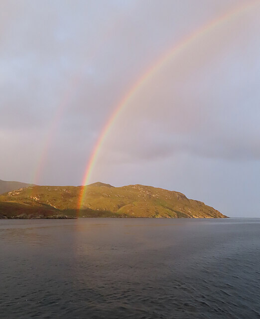
Àird Bhuidhe is a popular destination for outdoor enthusiasts and nature lovers, offering stunning panoramic views of the ocean and surrounding landscape. Visitors can explore the headland by following hiking trails that meander along the clifftops, providing breathtaking vistas at every turn. The area is known for its wild and rugged beauty, attracting photographers and artists who seek to capture its unique charm.
Overall, Àird Bhuidhe is a captivating coastal feature that showcases the raw power of nature and offers a glimpse into the diverse ecosystems of the Scottish coastline.
If you have any feedback on the listing, please let us know in the comments section below.
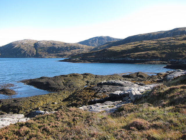
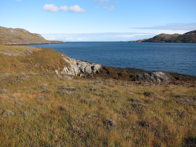
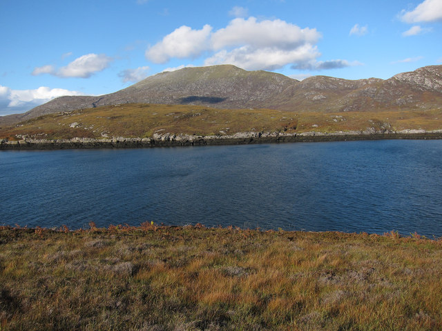
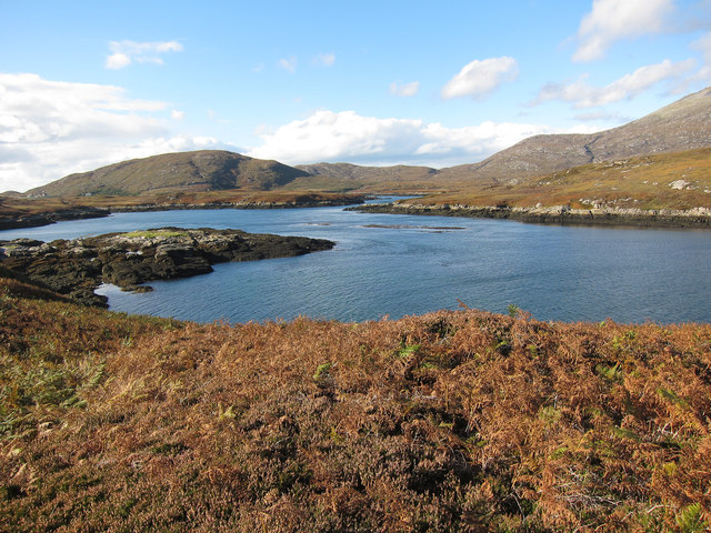
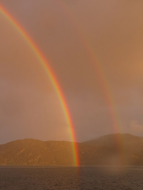
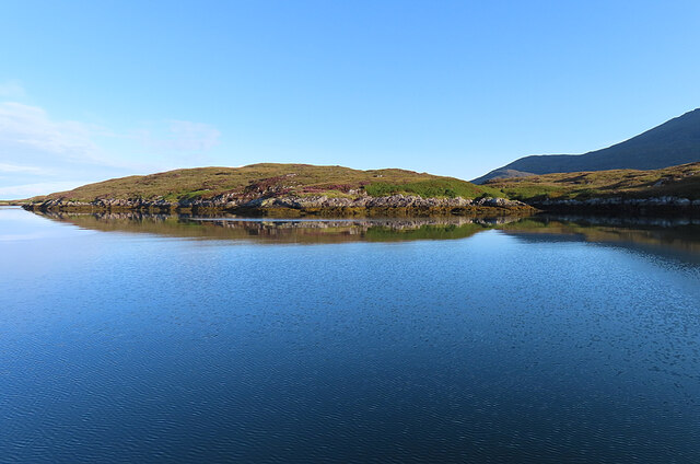
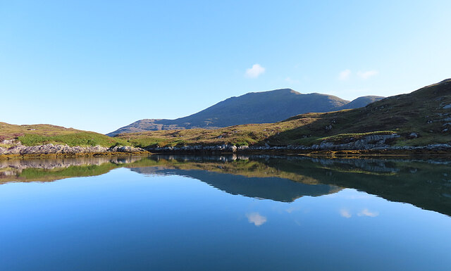
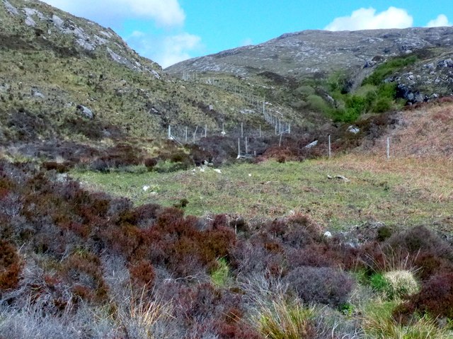
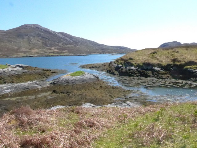
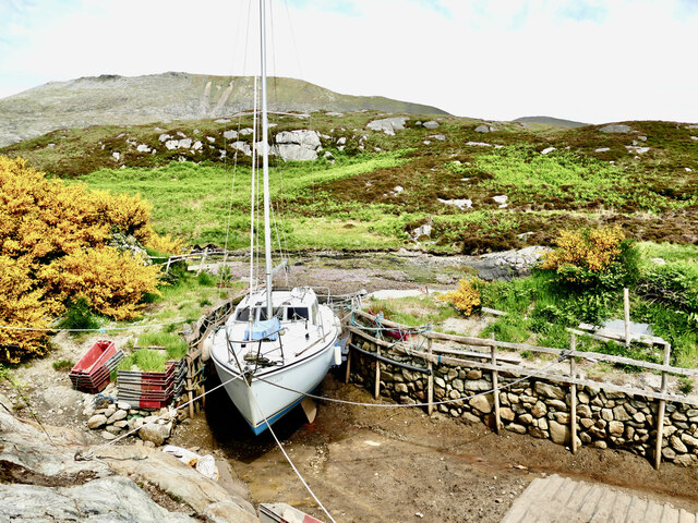
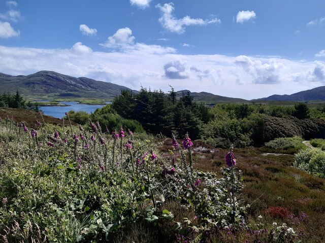
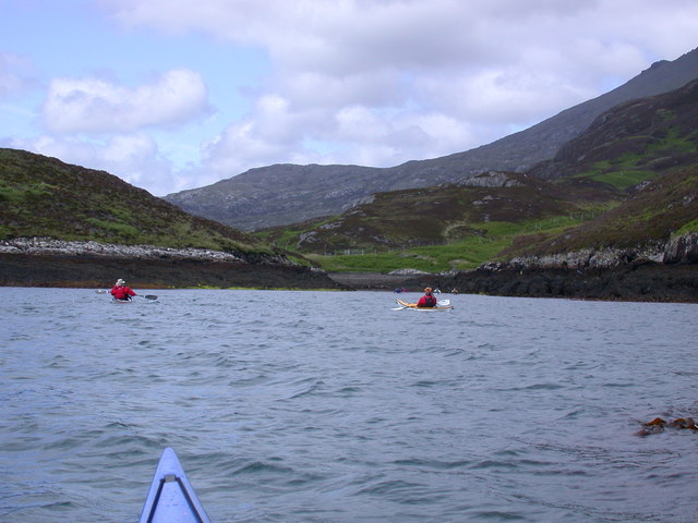
Àird Bhuidhe Images
Images are sourced within 2km of 57.229064/-7.3092207 or Grid Reference NF7927. Thanks to Geograph Open Source API. All images are credited.
Àird Bhuidhe is located at Grid Ref: NF7927 (Lat: 57.229064, Lng: -7.3092207)
Unitary Authority: Na h-Eileanan an Iar
Police Authority: Highlands and Islands
What 3 Words
///logo.beeline.pacemaker. Near Lochboisdale, Na h-Eileanan Siar
Nearby Locations
Related Wikis

Beinn Mhòr (South Uist)
Beinn Mhòr is a mountain on the island of South Uist in the Outer Hebrides of Scotland. With a height of 620 metres (2,034 ft), it is the highest point...

South Uist
South Uist (Scottish Gaelic: Uibhist a Deas, [ˈɯ.ɪʃtʲ ə ˈtʲes̪] ; Scots: Sooth Uist) is the second-largest island of the Outer Hebrides in Scotland. At...

Stuley
Stuley is an island lying to the east of South Uist in the Outer Hebrides, Scotland. It lies off the section of coastline between Loch Eynort and Loch...

Milton (South Uist)
Milton (Scottish Gaelic: Geàrraidh Bhailteas) is the name of a tack or tenant farm on the island of South Uist in the Outer Hebrides, Scotland. It was...
Nearby Amenities
Located within 500m of 57.229064,-7.3092207Have you been to Àird Bhuidhe?
Leave your review of Àird Bhuidhe below (or comments, questions and feedback).