Rubha Meall nan Caorach

Coastal Feature, Headland, Point in Inverness-shire

Scotland

Rubha Meall nan Caorach

Sheisinis A rocky beach and tidal island at the mouth of Acairseid Mhòr, a sea loch on the east side of Eriskay.
Sheisinis Credit: Richard Webb

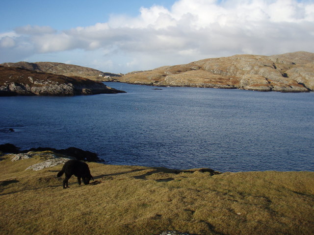
Rubha Meall nan Caorach is a prominent coastal feature located in Inverness-shire, Scotland. It is a headland that juts out into the North Atlantic Ocean, forming a distinct point along the rugged coastline. The name Rubha Meall nan Caorach translates to "Point of the Hill of the Sheep" in English, which reflects the area's historical association with sheep farming.

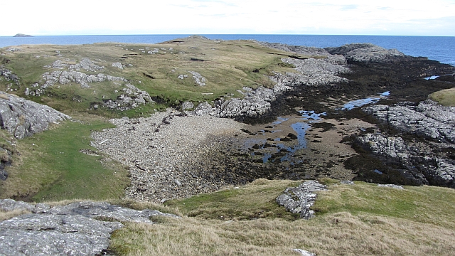
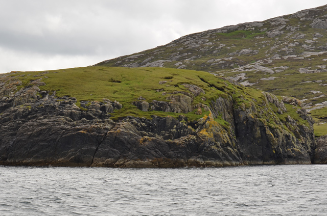
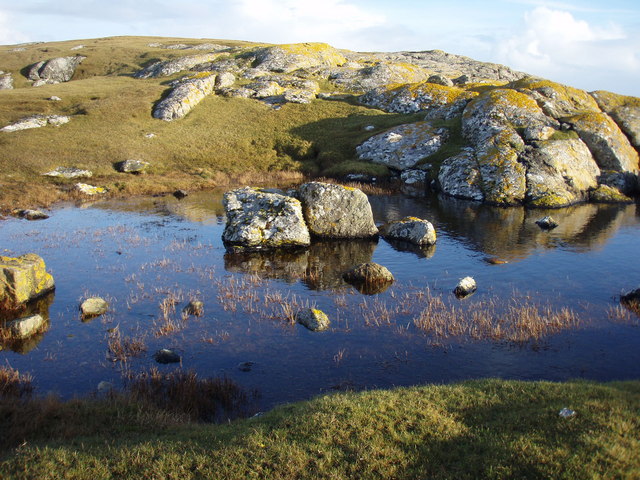
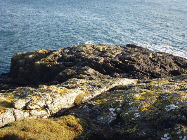
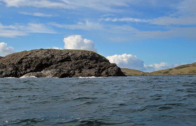
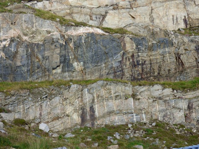
The headland is characterized by its dramatic cliffs and rocky terrain, which provide stunning panoramic views of the surrounding seascape. The cliffs, rising up to approximately 100 meters in height, are composed of various types of bedrock, including sandstone and shale, creating a visually striking contrast against the deep blue waters below.

The exposed nature of Rubha Meall nan Caorach makes it a popular spot for birdwatching enthusiasts. The headland is home to a diverse range of seabirds, including guillemots, razorbills, and fulmars, which nest along the cliffs. In addition to the avian wildlife, visitors may also catch a glimpse of seals, dolphins, and even whales offshore, further enhancing the area's natural beauty and biodiversity.

Access to Rubha Meall nan Caorach is primarily by foot, and there are several walking trails that lead to the headland, allowing visitors to explore the rugged coastline and enjoy the breathtaking views. The surrounding area is relatively untouched by human development, preserving its wild and untamed character.

Overall, Rubha Meall nan Caorach is a captivating coastal feature, offering visitors a unique opportunity to immerse themselves in the natural beauty of Inverness-shire's coastline and observe its abundant wildlife.

If you have any feedback on the listing, please let us know in the comments section below.

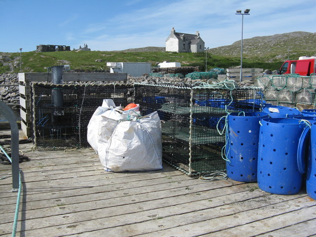
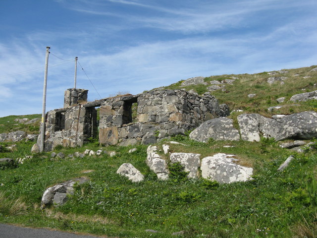
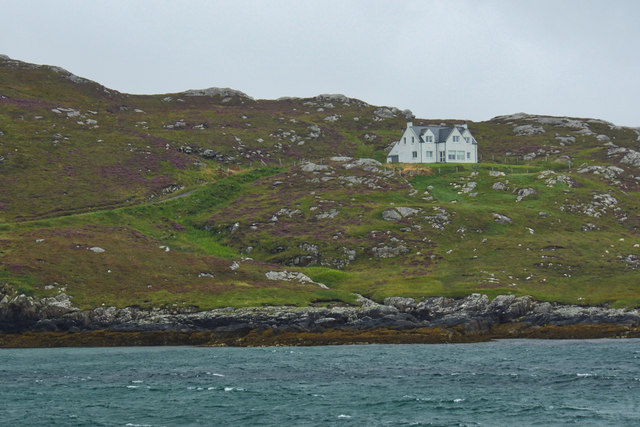
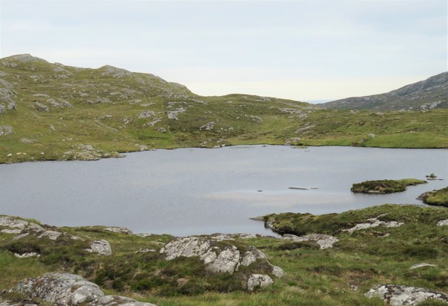
Rubha Meall nan Caorach Images

Images are sourced within 2km of 57.057687/-7.2841877 or Grid Reference NF7908. Thanks to Geograph Open Source API. All images are credited.

Sheisinis A rocky beach and tidal island at the mouth of Acairseid Mhòr, a sea loch on the east side of Eriskay.
Sheisinis
A rocky beach and tidal island at the mouth of Acairseid Mhòr, a sea loch on the east side of Eriskay.
Rubha Liath A headland to the south of the entrance to Big Harbour (Acairseid Mhòr) on Eriskay.
Rubha Liath
A headland to the south of the entrance to Big Harbour (Acairseid Mhòr) on Eriskay.
Small pool on Rubha Liath The peninsula was characterised by short grass with rocky outcrops ending in a rocky point.
Small pool on Rubha Liath
The peninsula was characterised by short grass with rocky outcrops ending in a rocky point.
Rubha Liath The rocky end of the point.
Rubha Liath
The rocky end of the point.
Acairseid Mhòr Taken from Rubha Liath this loch cuts deep into Eriskay.
Acairseid Mhòr
Taken from Rubha Liath this loch cuts deep into Eriskay.
Rubha Liath and looking into Acairseid Mhòr
Jetty at Acairseid Giving access to Acairseid Mhòr and the Sound of Barra.
Jetty at Acairseid
Giving access to Acairseid Mhòr and the Sound of Barra.
Jetty and boats at Acairseid At Acairseid Mhòr.
Jetty and boats at Acairseid
At Acairseid Mhòr.
The jetty at Acairseid The three-storey cages are used as 'keep nets', for storing catches until required.
The jetty at Acairseid
The three-storey cages are used as 'keep nets', for storing catches until required.
Ruin at Acairseid One of many roadside structures in the area.
Ruin at Acairseid
One of many roadside structures in the area.
Ruin and new house at Na Pairceanan On the road from Coilleag to the jetty at Acairseid Mhòr.
Ruin and new house at Na Pairceanan
On the road from Coilleag to the jetty at Acairseid Mhòr.
Road junction at Acairseid Mhòr Looking south to the small harbour.
Road junction at Acairseid Mhòr
Looking south to the small harbour.
Western slope of Beinn Cracabhaig
Loch Cracabhaig This small loch is the source of fresh water for the island. From higher ground one can look over the col on the far side of the loch towards the distant hills of Rum.
Loch Cracabhaig
This small loch is the source of fresh water for the island. From higher ground one can look over the col on the far side of the loch towards the distant hills of Rum.
Rock face at Eriskay Ferry Terminal The drill holes used to blast the rock are clearly visible.
Rock face at Eriskay Ferry Terminal
The drill holes used to blast the rock are clearly visible.
Na Stacan Dubha and Cal Mac Ferry View from Pollachar.
Na Stacan Dubha and Cal Mac Ferry
View from Pollachar.
Gangway and Pontoon at Acairseid
Acairseid Mhor, Eriskay This is a sheltered sea-loch on the east side of Eriskay. Recently road access has been improved and a small jetty built (to the left as seen here). Several local fishermen make good use of this.

The photo is taken from the summit of Beinn Cracabhaig in <a href="https://www.geograph.org.uk/gridref/NF7810">NF7810</a>.
Acairseid Mhor, Eriskay
This is a sheltered sea-loch on the east side of Eriskay. Recently road access has been improved and a small jetty built (to the left as seen here). Several local fishermen make good use of this. The photo is taken from the summit of Beinn Cracabhaig in NF7810.
Show me another place!

Rubha Meall nan Caorach is located at Grid Ref: NF7908 (Lat: 57.057687, Lng: -7.2841877)

Unitary Authority: Na h-Eileanan an Iar

Police Authority: Highlands and Islands

What 3 Words

///freely.meal.pave. Near Lochboisdale, Na h-Eileanan Siar

Related Wikis

Eriskay

Eriskay (Scottish Gaelic: Èirisgeigh), from the Old Norse for "Eric's Isle", is an island and community council area of the Outer Hebrides in northern...

Ceann a' Ghàraidh

Ceann a' Ghàraidh is the location of the ferry terminal on the south-western side of the island of Eriskay in the Outer Hebrides of Scotland. It provides...

Beinn Sciathan

Ben Scrien, is the highest point on the Outer Hebridean island of Eriskay. Described as an apparently "uninspiring lump" (Michael Fitzpatrick, 2012) it...

St Michael's Church, Eriskay

St Michael's Church (also known as St Michael's of the Sea) is a Category C listed building in Eriskay, South Uist, Scotland. Of Roman Catholic denomination...

Nearby Amenities

Located within 500m of 57.057687,-7.2841877
Meall nan Caorach
Place: locality
Lat/Long: 57.0579032/-7.2863389
Rubha Meall nan Caorach
Natural: cape
Lat/Long: 57.0571797/-7.2825195
Meall Ainort
Place: locality
Lat/Long: 57.0595601/-7.288592
Sloc Liath
Natural: bay
Lat/Long: 57.0604008/-7.2828963
A' Ghlaic Mhòr
Natural: bay
Lat/Long: 57.0585263/-7.2838967
Sloc Gille Lèigh
Place: locality
Lat/Long: 57.0555867/-7.2864303
The data included in this document is from www.openstreetmap.org. The data is made available under ODbL.

Have you been to Rubha Meall nan Caorach?

Leave your review of Rubha Meall nan Caorach below (or comments, questions and feedback).