Loch an t-Sroim
Sea, Estuary, Creek in Inverness-shire
Scotland
Loch an t-Sroim
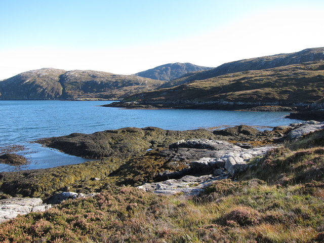
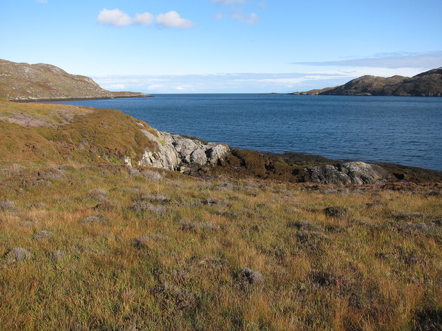
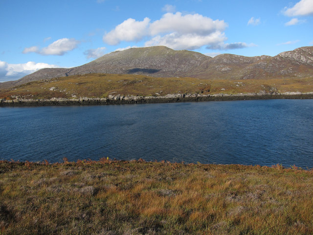
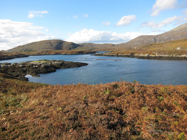
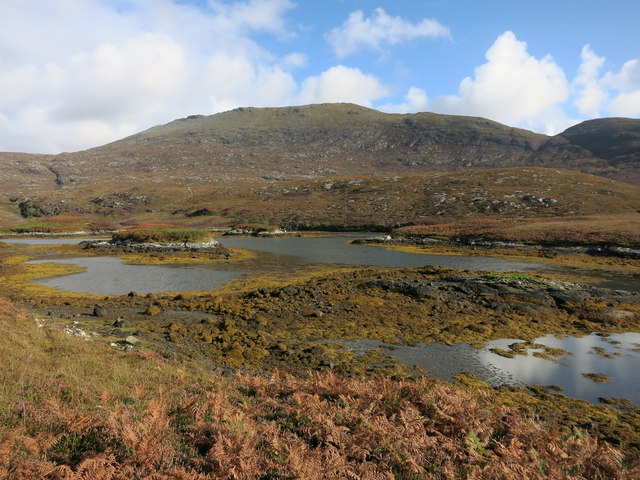
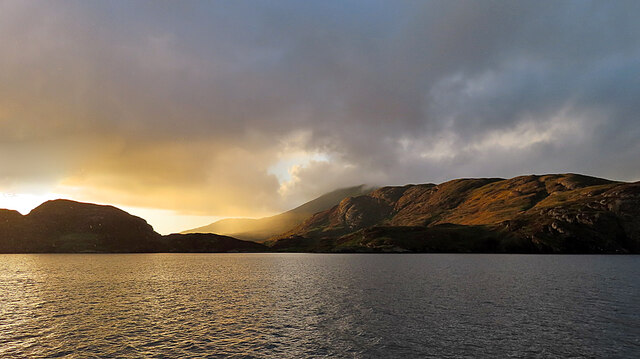
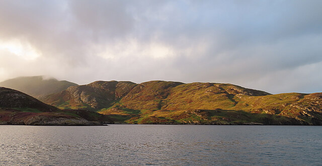
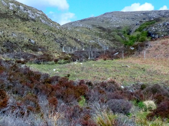
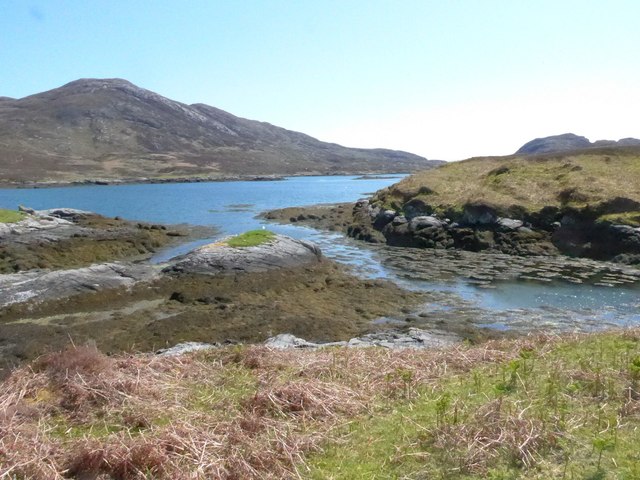
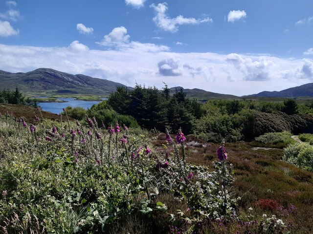
Loch an t-Sroim, also known as the Sroim Loch, is a small sea loch located in Inverness-shire, Scotland. Situated on the west coast of Scotland, this picturesque body of water is nestled amidst the stunning landscapes of the Scottish Highlands.
With its proximity to the sea, Loch an t-Sroim can be best described as a sea loch, which is essentially a saltwater lake that is connected to the ocean. It stretches approximately 2.5 kilometers in length and is surrounded by rolling hills covered in lush greenery. The loch is fed by several small streams and rivers that run through the surrounding mountains.
Due to its location, Loch an t-Sroim serves as an estuary, where freshwater from the streams and rivers mix with the saltwater from the sea. This unique blend of waters creates a diverse ecosystem, attracting a wide variety of plant and animal species. The loch is home to numerous types of fish, including salmon and trout, making it a popular spot for anglers.
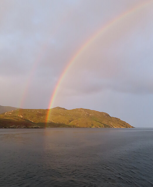
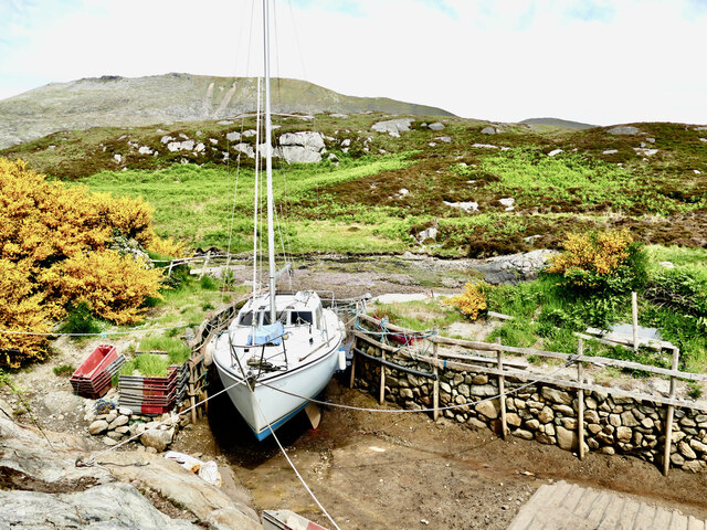
The tranquil and serene atmosphere of Loch an t-Sroim makes it an ideal destination for those seeking relaxation and natural beauty. Visitors can enjoy activities such as fishing, boating, and birdwatching. The loch is also surrounded by walking trails, providing opportunities for hikers to explore the scenic surroundings.
Overall, Loch an t-Sroim is a hidden gem in Inverness-shire, offering breathtaking views and a peaceful escape from the hustle and bustle of everyday life.
If you have any feedback on the listing, please let us know in the comments section below.
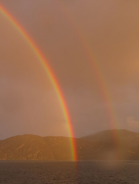
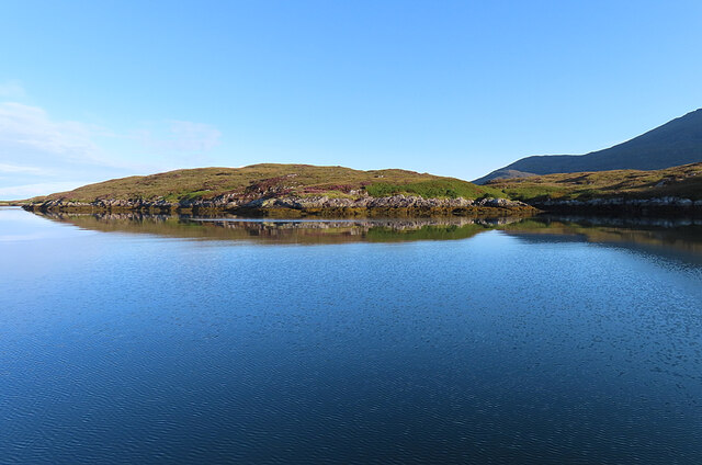
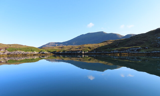
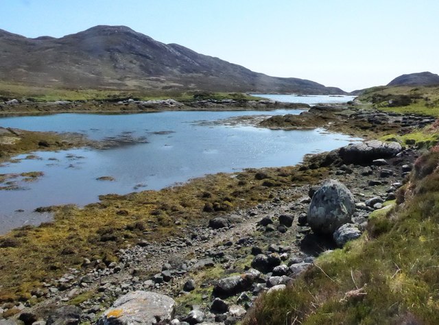
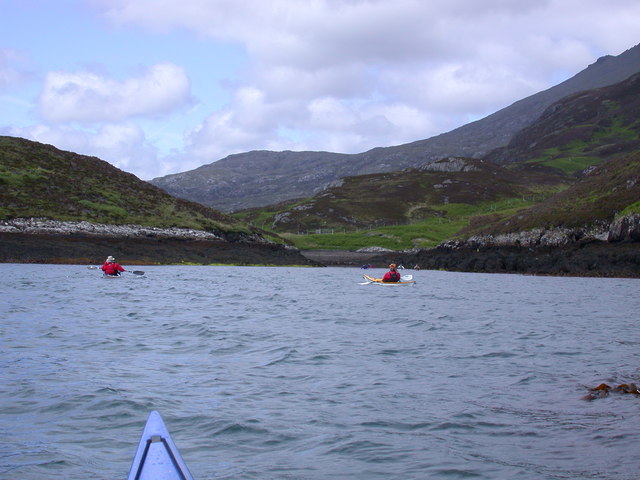
Loch an t-Sroim Images
Images are sourced within 2km of 57.225995/-7.309857 or Grid Reference NF7927. Thanks to Geograph Open Source API. All images are credited.
Loch an t-Sroim is located at Grid Ref: NF7927 (Lat: 57.225995, Lng: -7.309857)
Unitary Authority: Na h-Eileanan an Iar
Police Authority: Highlands and Islands
What 3 Words
///kick.pheasants.property. Near Lochboisdale, Na h-Eileanan Siar
Nearby Locations
Related Wikis

Beinn Mhòr (South Uist)
Beinn Mhòr is a mountain on the island of South Uist in the Outer Hebrides of Scotland. With a height of 620 metres (2,034 ft), it is the highest point...

South Uist
South Uist (Scottish Gaelic: Uibhist a Deas, [ˈɯ.ɪʃtʲ ə ˈtʲes̪] ; Scots: Sooth Uist) is the second-largest island of the Outer Hebrides in Scotland. At...

Stuley
Stuley is an island lying to the east of South Uist in the Outer Hebrides, Scotland. It lies off the section of coastline between Loch Eynort and Loch...

Milton (South Uist)
Milton (Scottish Gaelic: Geàrraidh Bhailteas) is the name of a tack or tenant farm on the island of South Uist in the Outer Hebrides, Scotland. It was...

Bornish
Bornish (Scottish Gaelic: Bòrnais) is a village and community council area on South Uist in the Outer Hebrides, Scotland. Bornish is also within the civil...

Askernish
Askernish (Scottish Gaelic: Àisgearnais, Aisgernis) is a crofting community on South Uist, in the Outer Hebrides, Scotland. Askernish is in the parish...

Auratote
Auratote (Scottish Gaelic: Oratobht) is a location on South Uist in the Outer Hebrides, Scotland. Auratote is within the parish of South Uist. == References... ==

Ormacleit Castle
Ormacleit Castle (Scottish Gaelic: Caisteal Ormacleit) is a ruined mansion house of the early 18th century. It is located on South Uist in the Western...
Nearby Amenities
Located within 500m of 57.225995,-7.309857Have you been to Loch an t-Sroim?
Leave your review of Loch an t-Sroim below (or comments, questions and feedback).