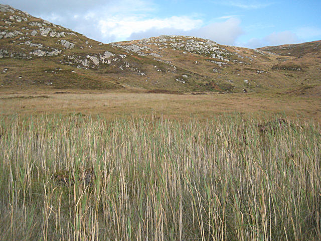
Poll Airigh nan Gallan
Sea, Estuary, Creek in Inverness-shire
Scotland
Poll Airigh nan Gallan
The requested URL returned error: 429 Too Many Requests
If you have any feedback on the listing, please let us know in the comments section below.
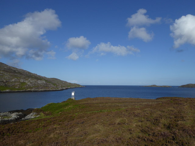
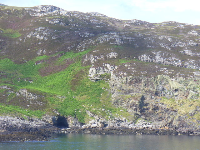
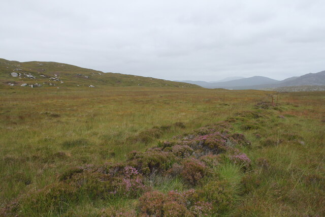
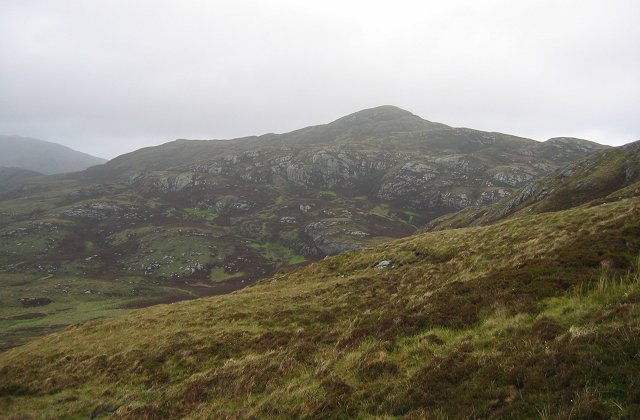
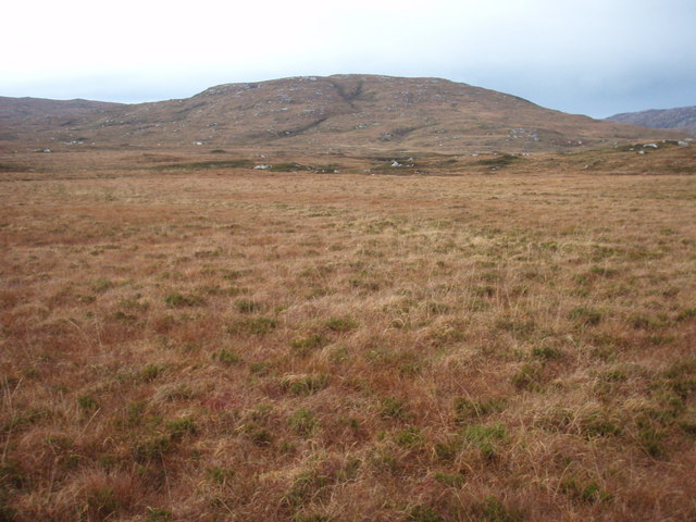
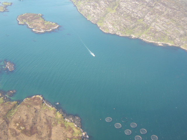
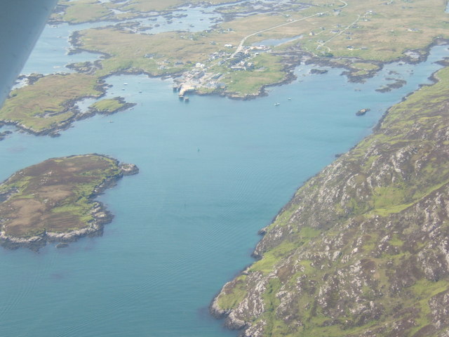
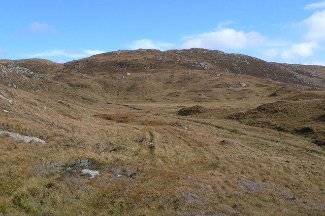
Poll Airigh nan Gallan Images
Images are sourced within 2km of 57.139631/-7.3024639 or Grid Reference NF7917. Thanks to Geograph Open Source API. All images are credited.
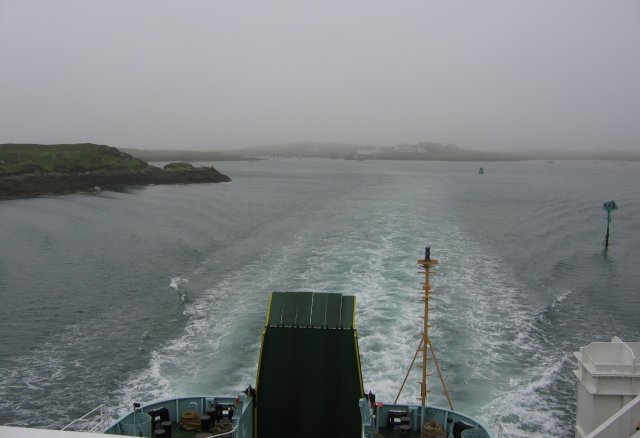
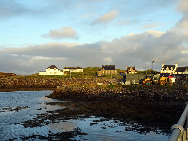
![Steaming out of Loch Baghasdail Not sure if 'steaming' is quite the right expression to describe the movement of a diesel powered car ferry. Taken from the deck of MV 'Lord of the Isles' having just passed the small island of Gasaigh [centre left]. Lochboisdale port can be seen in the distance.](https://s2.geograph.org.uk/geophotos/03/06/57/3065774_21c62608.jpg)
Poll Airigh nan Gallan is located at Grid Ref: NF7917 (Lat: 57.139631, Lng: -7.3024639)
Unitary Authority: Na h-Eileanan an Iar
Police Authority: Highlands and Islands
What 3 Words
///bunch.sped.climber. Near Lochboisdale, Na h-Eileanan Siar
Nearby Locations
Related Wikis

Eileanan Iasgaich
Na h-Eileanan Iasgaich comprise a small uninhabited archipelago in Loch Boisdale, in the south east of the island of South Uist, in the Outer Hebrides...

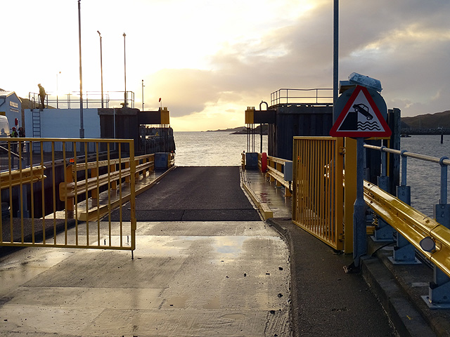
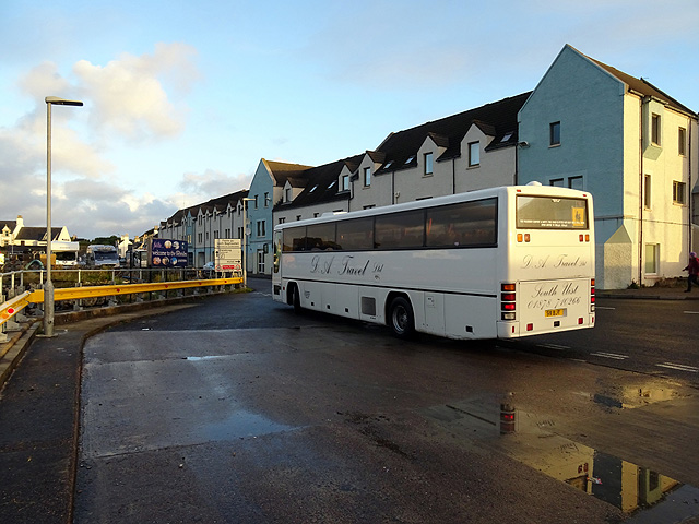
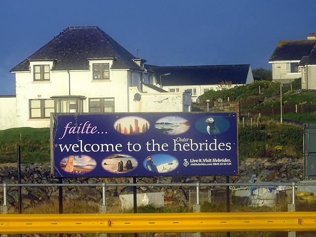
Lochboisdale
Lochboisdale (Scottish Gaelic: Loch Baghasdail [ɫ̪ɔx ˈbɤːs̪t̪ɪl]) is the main village and port on the island of South Uist, Outer Hebrides, Scotland. Lochboisdale...

Beinn Ruigh Choinnich
Beinn Ruigh Choinnich is a hill which overlooks the port of Lochboisdale on the east coast of the island of South Uist in the Outer Hebrides Scotland....
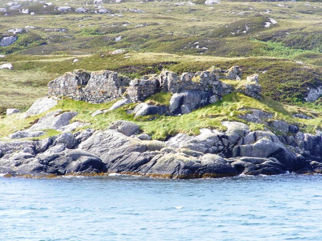
Calvay Castle
Calvay Castle (Scottish Gaelic: Caisteal Calbhaigh) is a ruined castle on an islet close to the island of Calbhaigh, at the eastern approaches to Loch...
Nearby Amenities
Located within 500m of 57.139631,-7.3024639Have you been to Poll Airigh nan Gallan?
Leave your review of Poll Airigh nan Gallan below (or comments, questions and feedback).